I have not talked much about my pup..but here is a picture of my old girl Bella:
Bella Brown and daddy out for a day at the Dog Bar in St. Pete
She is an awesome dog, but she is up there in years. In that picture she is about 9 or 10 and she is now between 11 and 13. You wouldn’t really know it as she hasn’t really slowed up at all! Anyway, since all this outdoor travel excitement began, I have not really been able to take her many places for travel because of her sister. Sadie was the most sweet, but mischievous hell raising beagle you would have ever known! I loved her to death and she just passed in September of 2020 at nearly 15 years old. Unfortunately, there was almost no time in her life when she would not cause chaos, and when that started to… lessen? she developed an incontinence problem, so she never got to travel much. She did make a road trip to Indiana once when she was a puppy, and when on some short ones in Florida. And she go to go lots of places around town, just not much in the big overnighter type trips.
Sadie Lou. There are at least 12 years between these pictures…we got old together!
Anyway, Sadie Lou passed away and I vowed that Bella was going to get to go on some trips. My friend Nicki, the Sidekick, and I were looking at possibilities in Georgia. Clayton is always a strong favorite of mine, but it’s a ten hour drive and Bella has never done more than an hour in a car, so it was good that we decided on a place in western Georgia called Providence Canyon. Nicki has an older crippled dog herself (Charlie), and a new rescue (Tiger Lily) who is quite the handful like my old girl Sadie, and she was wanting to do this trip with all the pups. Providence Canyon is this rather interesting man-made feature a little south of Columbus, GA and about 6 hours or so away from home. A fun addition to this story was that a hurricane was approaching. Nicki and her dogs left earlier in the day. I had to finish up at work and left a little later and had to drive through a few nasty moments but soon enough made it through the bands of Eta and the crazy beast in the back seat and got up to Columbus.
Our AirBnb was on the Chattahoochee which runs through town so we got some easy city river walks in at times. We went down to the canyon a couple times: once with all three dogs to do some easy hiking around the Perimeter Loop and then again with Nicki’s new dog Tiger Lily and Bella to hike down inside the canyon on the Inner Loop. As I mentioned earlier, this is actually a man made canyon. I do not know all the particulars, but back in the 1800s, poor farming techniques created some bad erosion in the fields the farmers were working, and due to the soil in the area those cracks and fissures open up more and more and more and you have what it is now.
Charlie, left, Bella, middle, Tiger Lily, right. The Sidekick took this photo of all of us on the walk overlooking the Chattahoochee near our Airbnb in Columbus.
The hike is pretty easy, even for the dogs. The descent is a little steep and then, if you do the loop all the way around, the slope back up is more gradual. The colors of the earth here are very pretty…and we were catching the tail end of the foliage season in the area. Despite being out in the middle of nowhere it did get busy a bit!
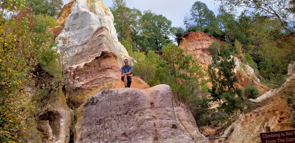
Providence Canyon from the rim. Super neat and random place in the middle of nowhere Georgia! Photo by the Adventurer.Cheesin on the way down!Posin. Taken by Nicki.
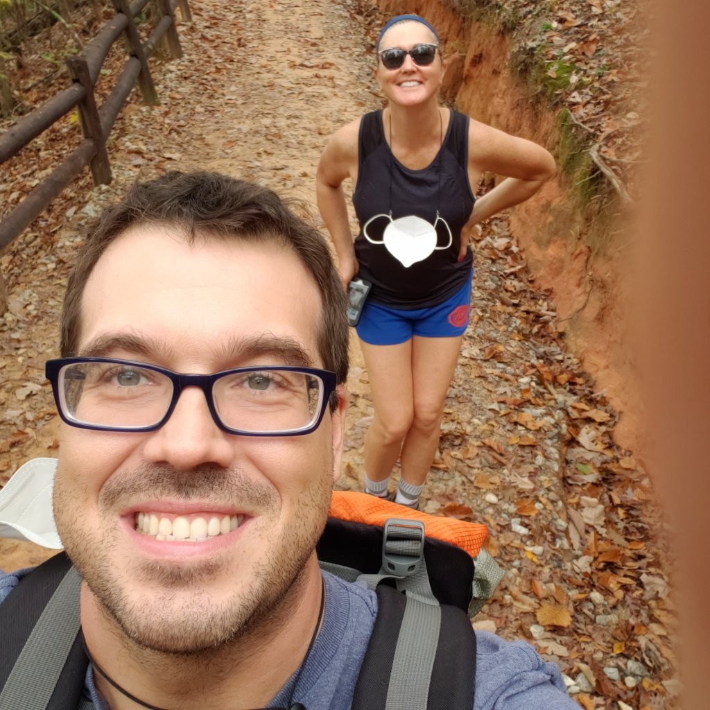
The Sidekick and her new rescue posin. Taken by the Adventurer.
Providence canyon is a super neat and random, unexpected treat on the GA/AL border. It is definitely a cool place to stop by and do some leisurely hiking. If you are into boating there is another state park just a few miles down the road called Florence Marina which is also on the Chattahoochee River. There is not a whole lot in the way of services around here, though. Columbus is about 45 minutes or so away, and that’s about it. There is a little town nearby called Omaha, which does have a large open air brewery, the Omaha Brewing Company, and it is definitely close enough to bring lunch and get a beer, but you’ll need to pack lunch for this trip. I also want to point out one other spot we checked out in Columbus: a brew pub called Chattabrewchee Southern Brewhouse. The beer was pretty decent, it had a nice outdoor space, and their logo is an opossum. There is a magnet on my car of their logo now!
Chattabrewchee in Columbus, GA.
Overall impressions: Pros: Beautiful state park. Nice weekend getaway. Good spot to take dogs or young ones. Cons: Not too much nearby, and Columbus is ok, but not what I would call a touristy draw. They do have some whitewater rafting through the city, and that might be something that would also draw me back, but that’s about it.
The Adventurer Final Word: 4 Stars! Perfect for an extended weekend hiking or get away from the city type of trip.
Shenandoah National Park was actually a spot I was actively thinking about going to in March of 2020. I never quite got to the booking stage because our friend covid was starting to make a muck of things just before and I was holding off. It also sounded like March was hit or miss on weather in that area. After getting back from Colorado my Sidekick and I were looking for new spots. Again, it had to be non stop flight and easy access to a cool outdoor spot. Slim pickings at that time, but we found it with a flight to Baltimore, and a quick hour, hour and a half trip to an area close to the Virgina/West Virginia border called Shenandoah National Park. This was over Labor day, so we made it an extended weekend. Shenandoah is a huge draw during the fall foliage season but it wasn’t possible to get there at that point.
We got in rather late and had hotel reservations at…wait for it…Super 8, in Front Royal, VA. So long story short, the park is beautiful and great, but that town at the entrance is pretty much garbage! There actually were not a whole of hotel options to be had and Super 8 it was! But at least the hotel was very close to the park entrance.
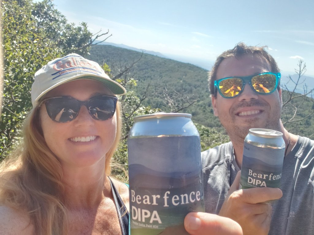
So this is an interesting park with a complicated history that I am not going to get into, but feel free to check it out here. The park is very thin, and very long. Basically it is situated around the main drive through the park called Skyline Drive and it is slightly longer than 100 miles long. We actually came into the park early the next morning and did our recon thing, scoping out things. We found a store inside the park selling some locally brewed beer, specifically for the park and found a little baby introductory hike, that was actually a part of the Appalachian Trail called Bearfence Mountain Trail, and we conveniently had the namesake beer! This trail is actually fairly simple, a mile with 250 feet elevation gain, despite alltrails saying it’s moderate…but it was quiet and had a good spot at the top to sit, soak in the views and have a Bearfence IPA!
View of the Shenandoah Valley. Taken by the Adventurer.Bearfence IPA at the top of the Bearfence Mountain Trial! Summit at 3500 feet
Our second hike was an early morning one called the Whiteoak Canyon Trail. We went to a waterfall called the Lower White Oak Falls. The trail went on for a while and I think we actually went a bit further than that. According to alltrails, it’s about 3 miles out and back to the lower falls, if that is indeed where we stopped and turned back, with about 400 feet of elevation gain. The spot we accessed this trail from was actually not off of the main drag through the park. Instead, we drove through an area parallel to the park. The town? if you want to call it that, that was close to the area is called Etlan. The hike was nice and easy, but could be pretty lengthy and it was actually pretty crowded, especially considering it was off the beaten path and there was still a small ranger station there for payments. No free access to this park! After this trail we stumbled upon really calm and chill winery in that Etlan town called DuCard Vineyards. Really pretty spot in the Virginia Mountains and good wine! There is no cell phone service out here either!
The Adventurer in front of lower (I think) White Oak Falls, taken by the Sidekick.Looking for a good stop after the White Oak Canyon Trail? Right here is your spot! DuCard Winery. Food truck and all! Even out in the sticks!
After catching a beautiful morning sunrise in the park a couple other trails we did from the more usual way to access the park were the Mary’s Rock Trail and the Upper Hawksbill Trail. Another general National Park hiking reminder: parking lots are usually tiny and fill up fast, so always keep that in mind, ESPECIALLY in busy parks like this one. Mary’s Rock is a 3.5 mile out and back summit trail with 1200 feet of elevation gain and a good rocky top with killer views! This trail is also a part of the AT. Hawksbill is the tallest mountain in the park at a little over 4000 feet and there are several trails to access the summit. The one we chose was called the Upper Hawksbill Trail. It is the fastest trail to the top at only about a mile each way and 400 feet of gain. Alltrails says this one is moderate and has a “gradual” slope. There is nothing “gradual” about that trail. In fact, it may very well be one of the steeper trails I have done. No, it’s not long, no it’s not exposed, and it is very wide, but it’s a calf work out on the way up and don’t slip and bust your ass on the way down! There is a nice observation deck at the top that looks over the park and the Shenandoah Valley to the west. Heads up! There does appear to be a false observation point. When the trail finally flattens there is a structure of some time and then an open expanse to view the surrounding area. Past the structure, though, the trail does actually continue a bit to get to the proper observation area.
Sunrise in the park, taken by the Sidekick.
On top of Mary’s Rock (which is actually a mountain elevation 3500). Picture by the Sidekick.
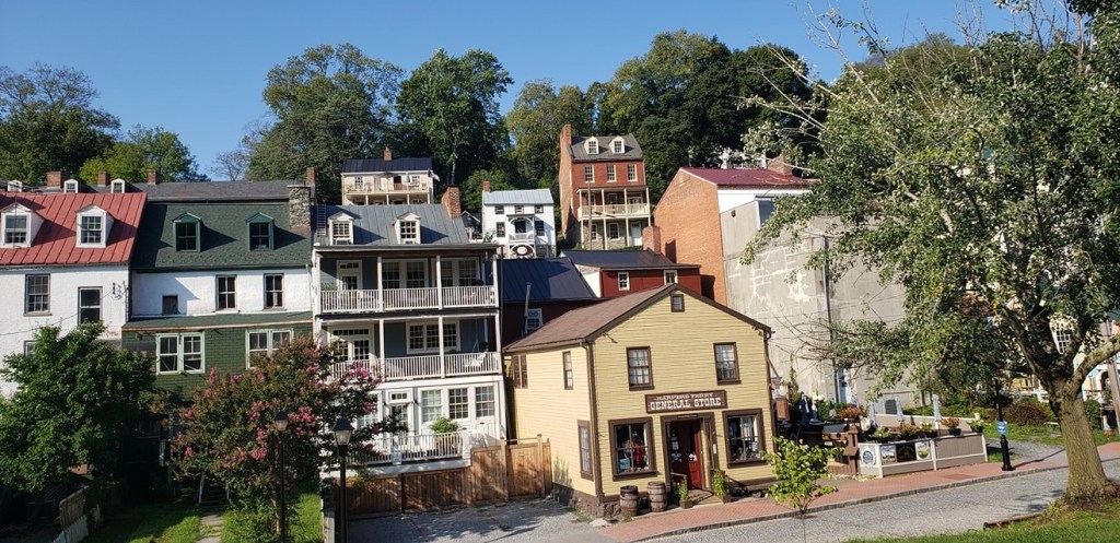
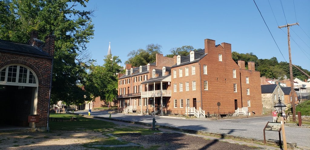
The out of the park life was a little disappointing. This town was really dirty and blighted looking. Finding good outdoor places to eat or hang was not too easy. There was a brewery in town and it was surprising that the little Italian joint we found sold none of their beer. We stopped at the Front Royal Brewing Company once. The first impressions were not great. It was a chore to get a table and the staff seemed inattentive and overwhelmed. Eventually we got seated and the food and drink were pretty solid. I would hope that post pandemic the place is more pleasant, but it’s about the nicest place we found. After a few days, it was time to start making our way back to Baltimore. We took a route back that went past some dinosaurs and through Harpers Ferry, WV. This is an old historic town on a river. The whole area is a national historic landmark. The Appalachian Trail passes through here. We came on a day when a lot of shops and restaurants were closed up but we did find one place open to microwave some food that serves hikers on the AT, called The Towns Inn. The lady running the place is a former teacher and now tends the house for the hiking crowd.
DIno fight in Virginia. Harper’s Ferry. Taken by the Adventurer.Another section of Harpers Ferry. Taken by the Adventurer.
We stayed just long enough to soak up some views over the river and traintracks once Almost Heaven Pub and Grill opened and then it was time to come back to the FL!
Overall impressions: Pros: Beautiful National Park. Great hiking. It was not terribly overcrowded. Harpers Ferry looks like a cool little quiet weekend spot. Cons: Front Royal, VA sucks. We were in Harpers Ferry on a not weekend day.
The Adventurer Final Word: 4 Stars! A definite nice place to go out of your way for but there are parts of the overall experience that could have been better!
Well now, we had a travel hiatus didn’t we! So my Sidekick’s Southwest companion pass was only good for 2019. I managed to snag the normal one from them early in 2020 just in time for the old pandemic. Great timing! So anyway, my Sidekick and I decided that the best course of action was to enjoy the outdoors and decided to go for it a couple times in 2020.
Due to the pandemic a lot of non-stop Southwest destinations dried up. We were looking for non-stop only flights that led to cool outdoor options. So, naturally, Colorado fit the bill, even if it was the third time in as many years that I have visited the state! We decided to get into Denver and head on up to Estes Park and Rocky Mountain National Park and stay a few days up there!
We stayed at a fairly no frills hotel near the lake, but it was reasonably priced compared to everything else around there. Highlights of the trip included a visit to the top of Trail Ridge Road, summiting Deer Mountain in Rocky Mountain Park, doing a cool hike to Dream, Nymph, and Emerald Lakes, seeing some elk and checking out the Stanley Hotel.
As I mentioned in my first Colorado post, Estes Park is a really pretty spot at decent high elevation surrounded by 10k plus peaks and, of course, is at the entrance on the east side of Rocky Mountain National Park.
This is Rainbow Curve, along Trail RIdge Road. Killer viewing spot! Taken by the Adventurer.My second time standing with this sign! Taken by the Sidekick.
So my Sidekick and I have done a lot of traveling together now and we have our way of doing things which is basically getting into the place we are staying to check over things and then go out and do some recon. This one was a little tricky. Due to covid restrictions, RMNP was/is doing a timed entry and requires tickets for specific time frames. Luckily we were able to get in when we were supposed to and took the drive up to the Alpine Visitor center at the top of Trail Ridge Road. I would say that among the national parks I have been to so far, this road is probably tops in terms of grand scenic views, and I think it would be very difficult to top for sure. It is also a high elevation road up to 12000 feet!
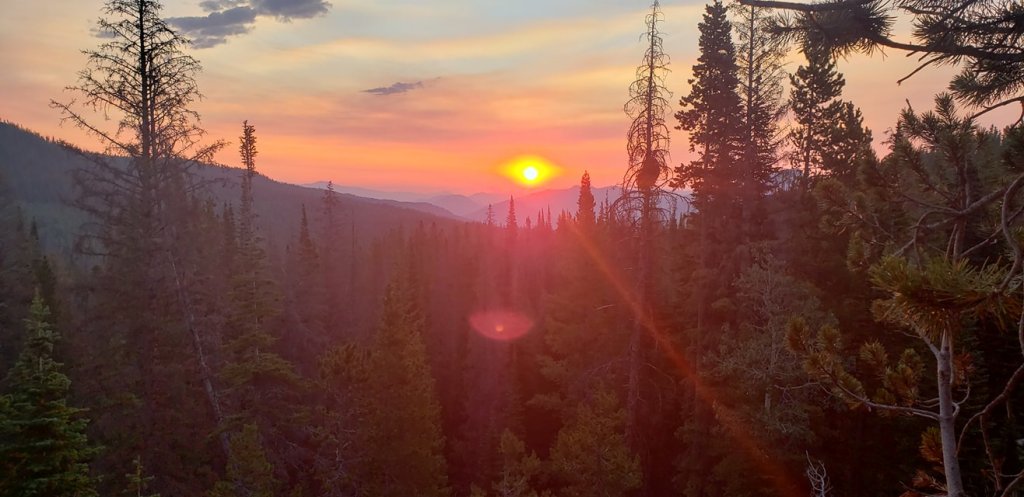
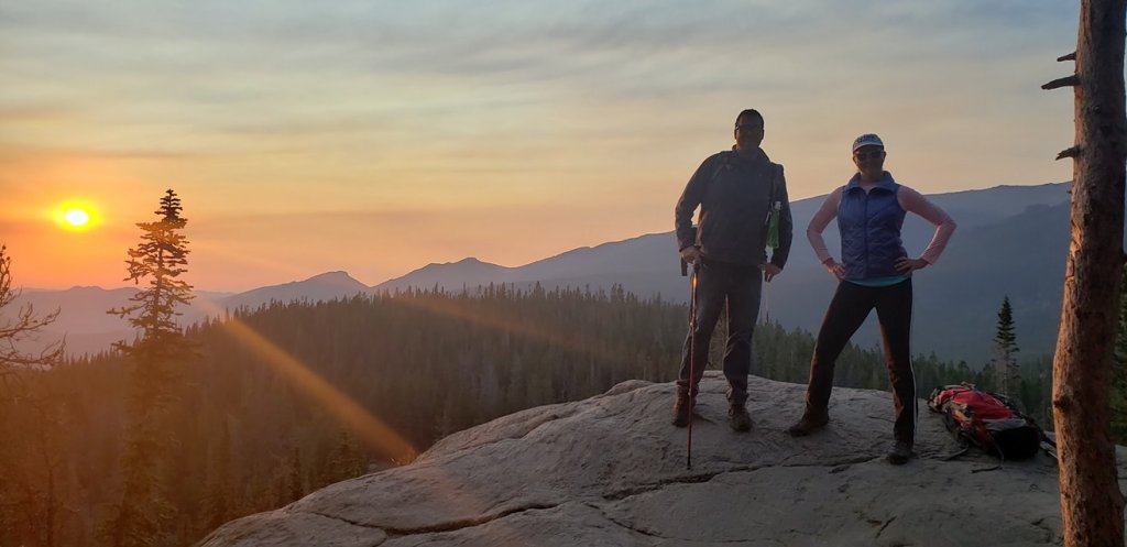
I went ahead and reserved tickets for entry each of the days we were there but honestly, the thing about some of these parks that are very popular and crowded, and especially if one is hiking in these high altitude locales, you have to start early. The main reasons are logistics and atmospheric. These are national parks, not malls. There are very small parking lots, no parking garages, and when they are full, that’s it. Also, it seems that many do not know the actual hours of the parks. Very few of them actually ever lock the gates. Many of them have posted hours for paid entry (I have an annual pass) and visitor center and restroom access, but, generally speaking, you can come in and leave whenever you want. With RMNP doing that. it meant getting around the ticketing system and ensuring a parking spot for our hikes. The other reason is that weather in the mountains gets suspect after midday and if you happen to be in an exposed spot and are the highest thing above the ground, that means lightning is not your friend. Plus you get down from a hike and still have a lot of the day left! We did a couple nice big morning hikes on this trip. The first one was the Emerald Lake Trail, accessed on the Bear Lake side of the park. Again, even though this parking lot is decent sized, we were there before sun up and it was already filling up! The hike was about 3.5 miles out and back, with 700 feet of elevation gain. We had our packs and second breakfast and a couple beers for the end of the hike. And, we got to catch a killer sunrise!
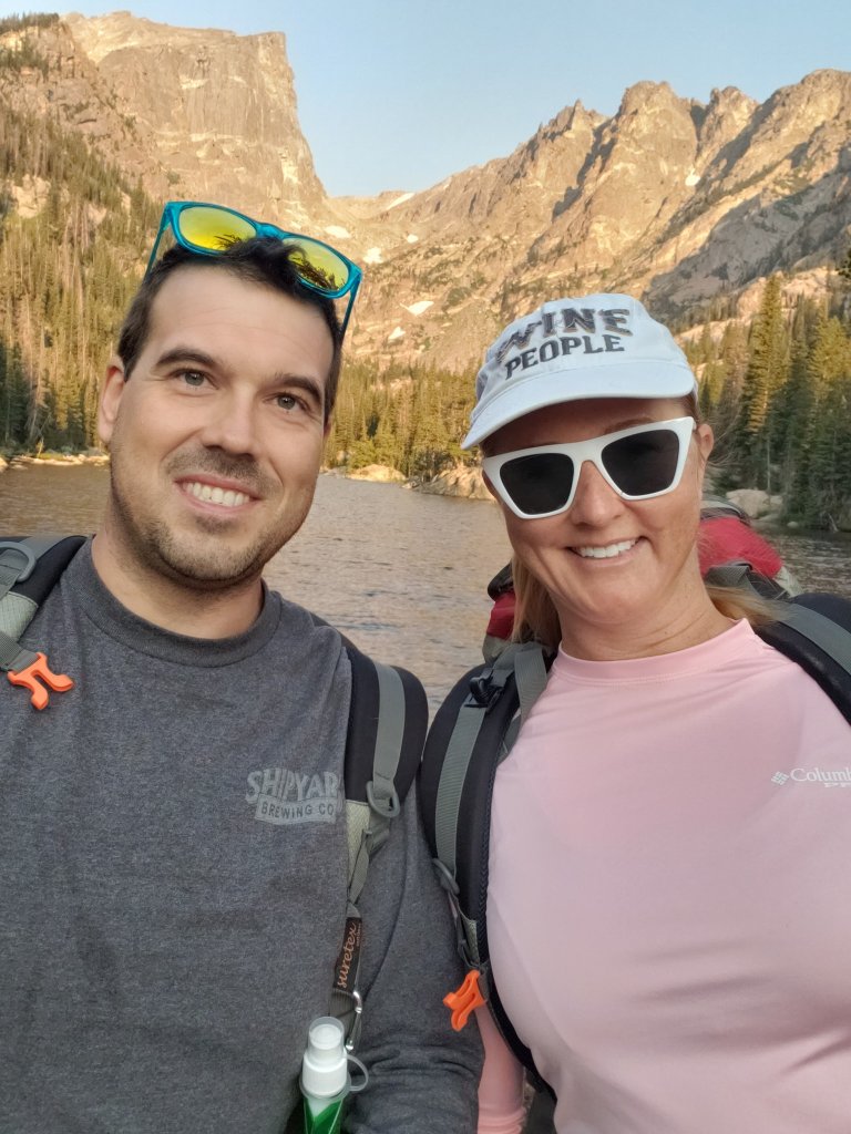
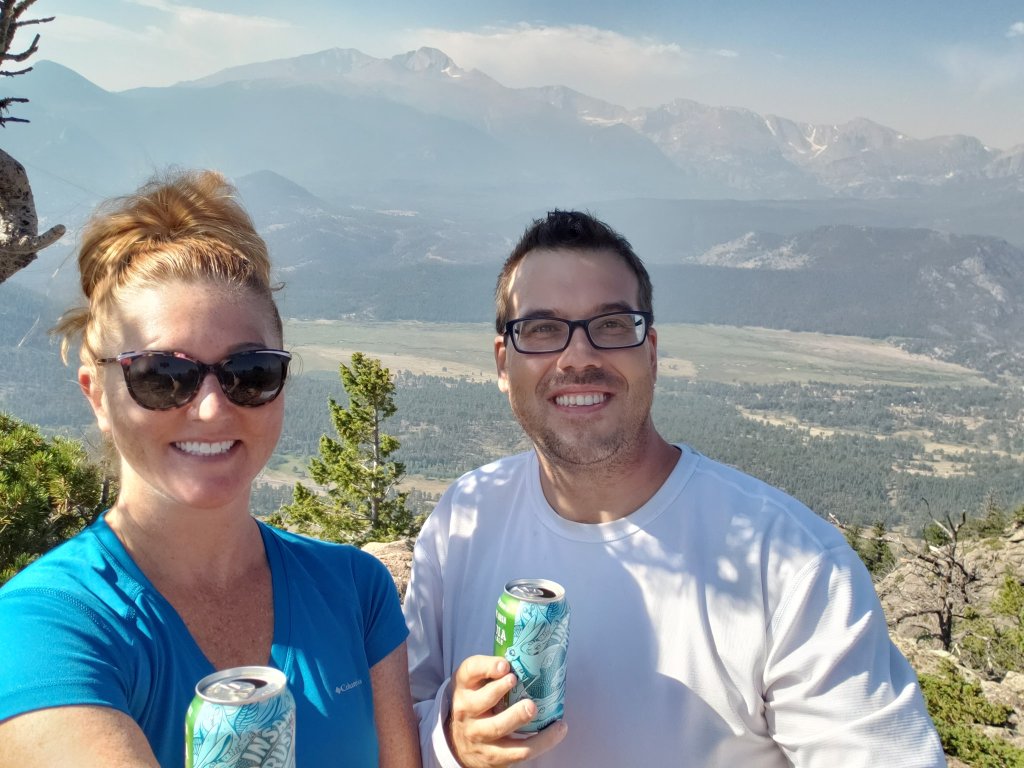
Sunrise over Rocky Mountain National Park. Photo by the AdventurerMountain People. Photo taken by a nice passerby.The middle lake of the three, Dream Lake. One of us was using a selfie stick on the phone.End of the hike, this is the Emerald Lake, elevation about 10,100 feet.
After this hike we checked out the Estes Park Brewery for a brew and a sandwich. We later checked out the historic Stanley Hotel. This hotel served as the exterior for the hotel in the movie The Shining. It is an operating hotel and has a restaurant and bar that we actually visited the next day for some really good food and cocktails!
The historic Stanley Hotel. Well, part of it. Oops.Some of the many elk seen on the trip. This one was in a group laying down outside the pool of our hotel.
So the next day was supposed to be some hike that I had my eyes on, but neither of us were really in an 8 mile hiking position so we pulled an audible. We spied a mountain hike at a mountain called Deer mountain with a trailhead just off of the road and decided on that one. Again, we got up early to hit the very small parking area for this one. Deer Mountain Trail, is rated hard at 6 miles and 1400 feet of elevation gain up to the summit at 10000 feet, and features killer views! And, also some very hungry chipmunks! We stopped along the way for 2nd breakfast and then at the top had either 3rd breakfast or 1st lunch and the chipmunks were literally climbing on us! Gorgeous hike, though.
The Sidekick and I having a local beer on top of Deer Mountain! Killer view! Another view from the top of Deer Mountain. Pic by the Adventurer!Desperate Chipmunks: Deer Mountain Edition. 🙂
Fun outdoor trip and the perfect recharge from a weird year.
Overall impressions: Pros: Beautiful National Park. Great hiking. It was not terribly overcrowded, with the timed entry ticketing Cons: None. This is a must visit, period.
So this was the last 2019 trip! You might be wondering how on earth a teacher affords all this! Well, almost all of these flights were free with my Sidekicks companion pass on Southwest and she had accumulated enough points from that perk (a credit card offer) to basically make almost all the flights expenses during this year for damn near nothing! Hotels/Airbnbs and rental cars were a different story, but we managed to do most of all of that on the cheap, especially splitting between 2 people.
I usually go to Indiana for Christmas, but I had been there just 3 weeks prior so we found one last flight to the Caymans that fit the free flight bill! So other than a brief visit to Niagara falls 15 years ago and a day in the Bahamas from a cruise, this is the first time I have been out of the US!
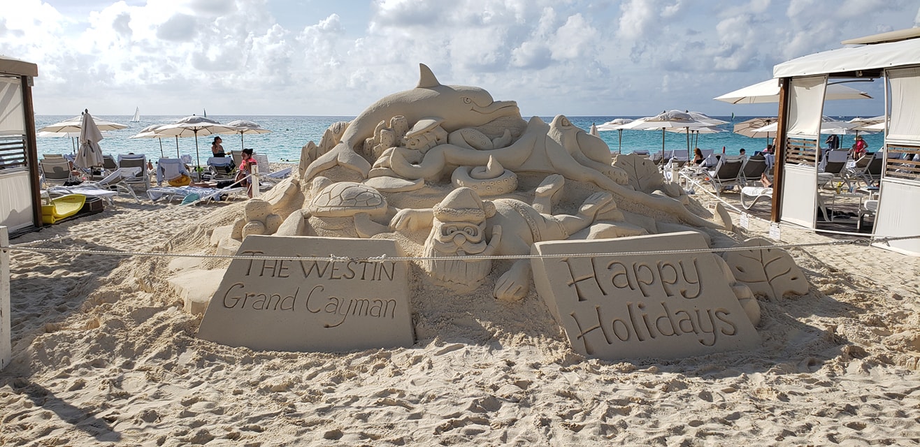
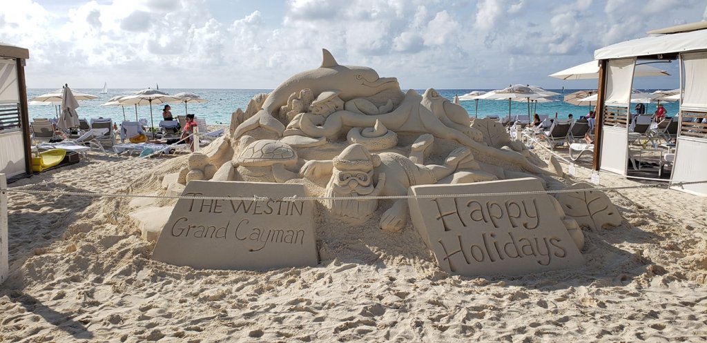
Merry Christmas from the Caymans!They take Christmas pretty serious on the island!
So, there is a conversion rate problem here and things are kind of expensive. That being said, we found a hotel, Sunshine Suites Resort, right across the street from the beach hotels that was decent and about the cheapest we could find. The good news is it was a sister hotel to the resort across the street so we were allowed to use that hotels amenities. That was a great perk! Other than lounging on the gorgeous beach the entire time we did do a couple other things! We got on boat and went to a place called Stingray City. It was not without some trevails. The boat broke down a bit and it was a little weird…but we got to Stingray City and it was pretty cool! My friend was a chicken and wouldn’t get off of the boat! Afterward the boat took us to a snorkeling spot to do that for a bit. Later on in the trip we took another boat up to the northern part of the island and did a nighttime kayak trip through waters that had a bioluminescent plankton (the videos and pictures did not come out well).
I made NO adjustments to this selfie. Look at that water!
Close encounter with a stingray! Footage on my gopro from a random stranger.
Snorkeling in the Caymans! Gorgeous! Using my GoPro Hero Session 5. It’s a pain in the neck camera, but it does a great job when it works!
It was a short trip but was a lot of fun and was a new out of the US experience for me!
Overall impressions: Pros: Gorgeous water. Super friendly people. Neat things to do. It is pretty close to home! Cons: Exchange rate stinks. And I think we were the poorest tourists there. You will spend money quickly here.
The Adventurer Final Word: 4 stars! Really awesome place but be prepared to open your wallet, which cost a star for me!
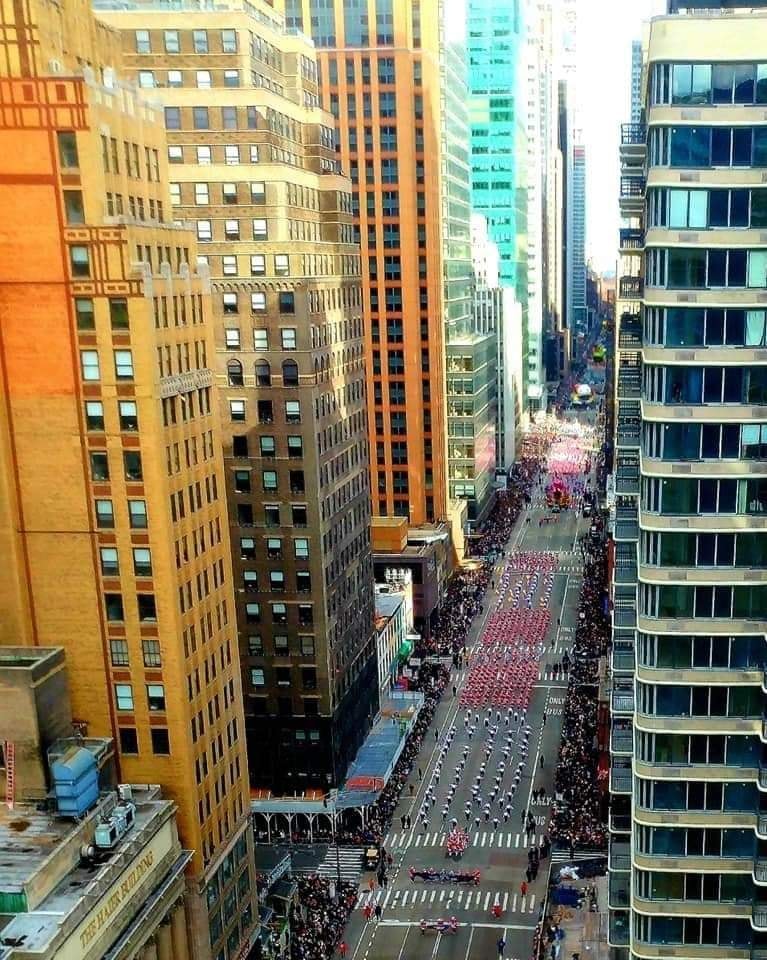
Whoo! Lots of fun stuff in 2019! So, I am a pro musician and trumpet player down in Florida. In my area there is an adult marching band. It is mainly much older people than me and just more amatuer level than anything. It is also about 500 strong and they travel the world. I did not know playing in the Macy’s Thanksgiving Day Parade was on my bucket list, but here we are! I went with the Sidekick, as she used to live in NYC and was itching to get back to visit.
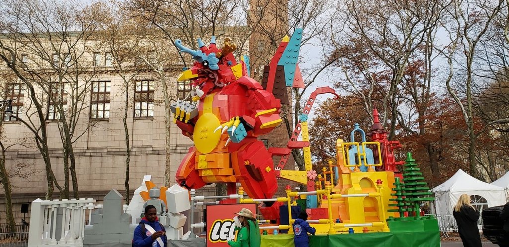
So the Macy’s thing was a good year and a half in the making. The buddy who I met up in Colorado the first trip and also who had the birthday that brought me down to South Florida this same year was also in the marching band. We were two of the “horses” so to speak in the trumpet section and planned on doing the Macy’s thing. So, we did. It’s NYC. It’s late November. It was about as warm and windy as you might expect! A couple notes about the Macy’s situation: 1) The Choreography of both the performance and the logistics has to be spot on perfect to be put on the TV telecast. 2) The practice for the parade and those logistics happens at like 1 or 2 AM and then from there its to breakfast and then lining up by 8. Not a short day at all! The Sidekick and I did a little New York stuff when we got into the city. The entire band was in a hotel just behind Times Square, so a super convenient location for sure. We did the performance, it went off pretty well! The Sidekick and I did some exploring of the city that night and the following day.
Me on TV!Evening Rehearsal. Not the 1 Am one…Behind the scenes!
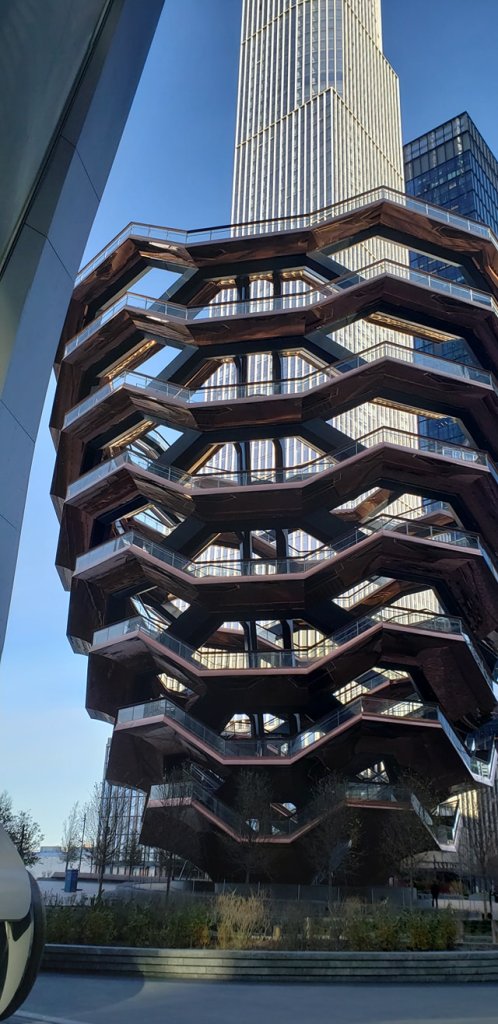
Climbable thing in the city.
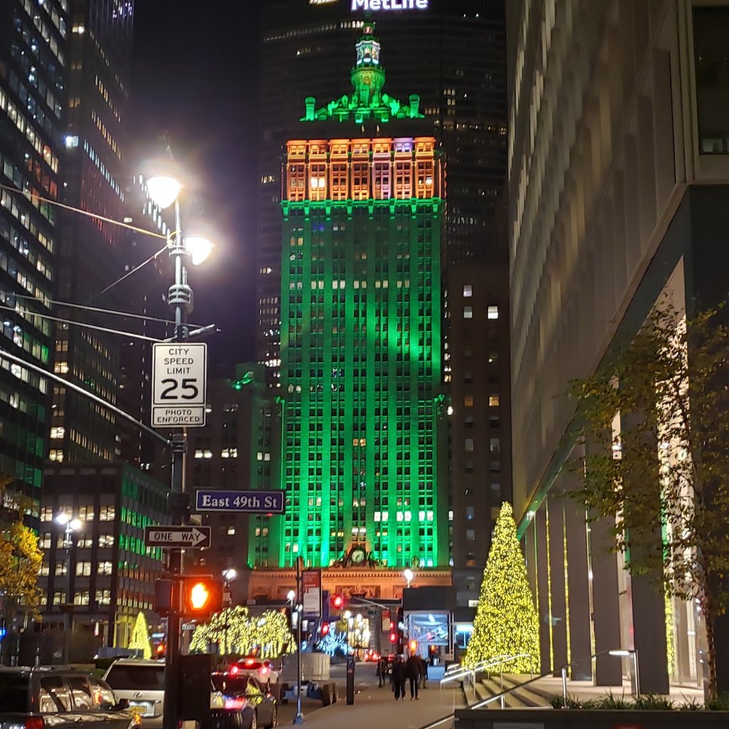
Pretty Holiday Scene in the City.
Early Sat we got up and ubered our way to Laguardia. The sidekick was back to Florida and I was off to Indiana, first.
Overall impressions: Pros: A neat once in a lifetime experience! NYC is a lot of fun and plenty of stuff to do. Cons: Cold and windy in the winter. Probably too busy for my liking. The band has done 2 Macy’s parades in only 11 years. If it comes up again, I have little desire to do this again.
The Adventurer Final Word: 5 Stars! Just because so few get a chance to do the Macy’s Parade. NYC is cool too, but probably wouldn’t be a 5 star without the Macy’s Experience.
Right off the bat, this is probably one my favorite trips, so far. I was with the Sidekick, we saw 2 national parks, almost every area of the state, and did LOTS OF COOL SHIT. Stops included: a wolf rescue, Great Sand Dunes National Park, whitewater rafting in Buena Vista, Black Canyon of the Gunnison National Park, Telluride, Denver, Breckenridge, and Golden.
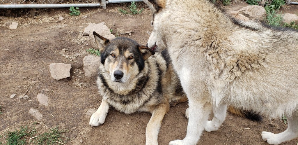
So right out the gate we did something really, REALLY cool. We stopped by a now defunct wolf sanctuary. It seemed to be run by a pretty weird eccentric older guy who seriously loved those wolves! Pretty ragtag operation, but we got to actually physically interact with these guys. Some were half breeds too, but they all needed a place to sleep and someone to care for them. This was in a very small town called Guffey, elevation at a very surprising 9000 feet! Very neat experience and it was free! But we each made a donation to help out the critters!
Cute wolves! They’ll rip your arms off if you aren’t cool! Pic by the Adventurer.
We made our way to our base of operations for the next two evenings: Salida, CO, population like 15. Ok, not really, but it is small. The town itself is situated along the Arkansas river in a fairly ideal spot surrounded by mountains. It is about an hour and a half north of the Great Sand Dunes but also only a little south of the whitewater rafting location, and also directly on the road that we needed to take across the state in a couple days.
The Adventurer in front of the Arkansas River in Salida, CO. Picture by te Sidekick.
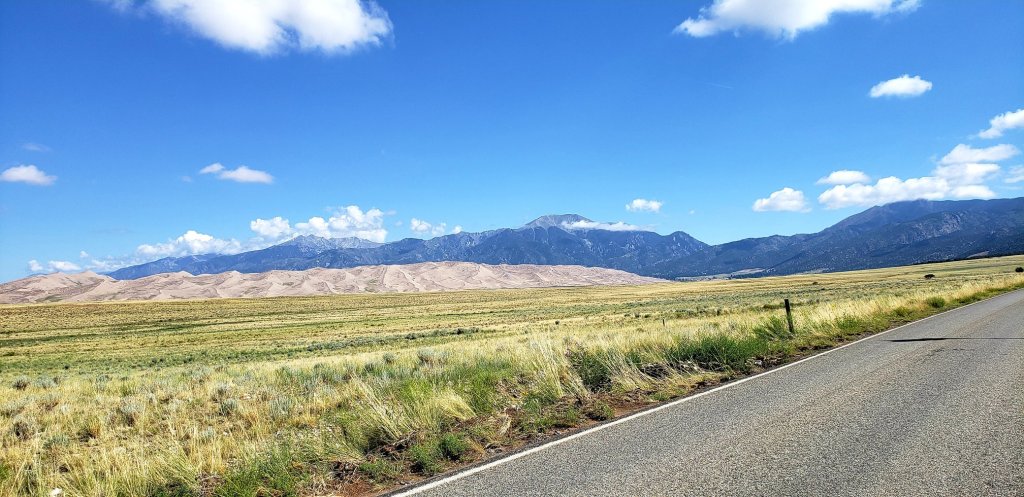
The Great Sand Dunes are really neat! We rented sand boards/sleds from the nearby town and went adventuring! There are plenty of hiking and mountain type opportunities there but we committed to just hanging out on these sand dunes. And they are not little humps of sand either! Super fun trying to sled down these dunes but I was terrible at it! Just terrible! Nicki was a a little better. And the children around were just whipping around these things like they were nothing. Very annoying, kid!
Grand Sand Dunes National Park. Not the best picture in the world, and I don’t like getting roads in pictures like this, but it does give you some sense of the terrain and the dunes against the mountains! Picture by the Adventurer.
Hmm. Adult language…I promise this is harder than it looks!
After a night out and about in Salida (that means the one nearby bar that was open!) we got up early to head to the Adventure Company in Buena Vista to raft a spot in the Arkansas called simply, The Numbers. This is a pretty difficult stretch, class IV and V, with a bunch of rapids in short succession, and they are just numbered instead of properly named. Now, this was late July and usually by this point the rivers have settled down a bit. Unlike the previous year’s Royal Gorge, late June and already settled down water, this summer the water was crazy high. In fact, I do not believe they could even open this stretch to rafting until a week or two before we went, so it was exciting. Best part: no raft ejections this time!
The Numbers section of the Arkansas River out of Buena Vista. And wow, I kinda forgot how fast that water was moving! There might be some questionable language on any of these videos….
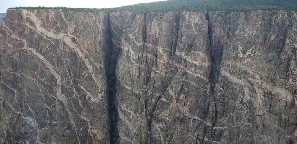
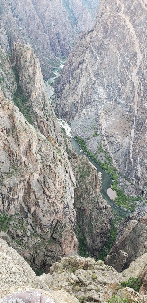
After rafting we hit the road and headed toward our evening destination in a town called Placerville, just outside of Telluride. En route we had a planned stop at another national park, The Black Canyon of the Gunnison. So this place was definitely cool to look at, but there is not a terribly large amount of things to do, or even much hiking, outside of stopping at overlooks and the small treks to the edge. Don’t get me wrong, it was spectacular, but the canyon is literally almost straight down (it is called the black canyon because some parts are so narrow that sunlight doesn’t really ever make it through) and so that means not much in the way of trails. If you are the type that loves to experience cool things while driving or close to the road this is a cool one and very neat to see!
Painted Wall in Black Canyon of The Gunnison National Park. Photo by the Adventurer.
Black Canyon of the Gunnison. The river is called The Gunnison. Photo by the Adventurer.
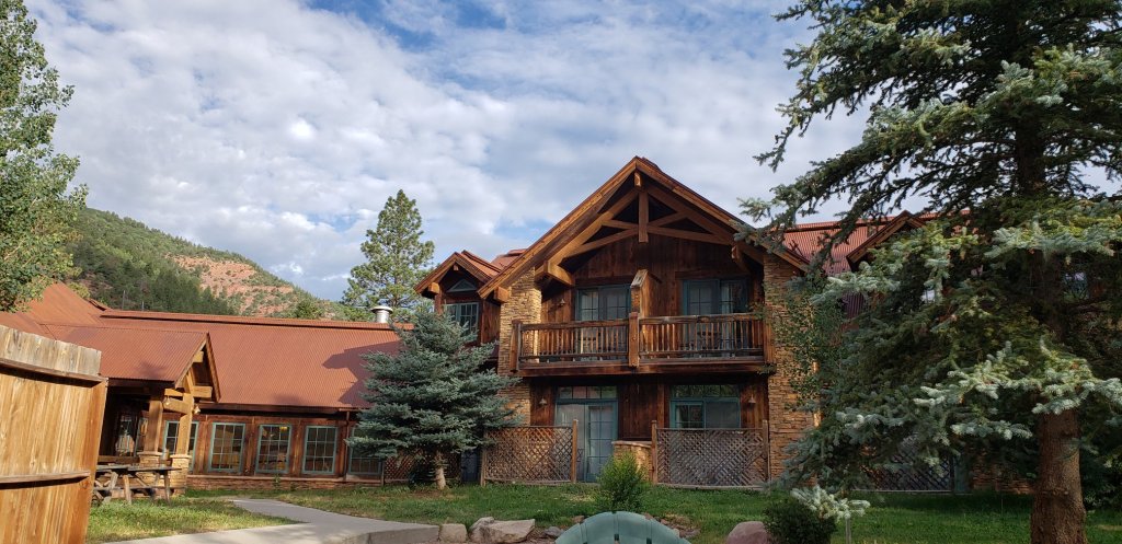
The Angler Inn. Our lodging in Placerville, outside of Telluride. It was much cheaper than staying in Telluride! Photo by the Adventurer.
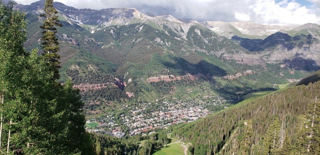
We made our way to south through a really gorgeous stretch of road that at times reminded me of the mountains in Alaska. But, I guess this is the reason they call parts of this area the Alps of America. So this is where we pulled an audible. The plan was to make a brief stop in Telluride before it got dark that evening, go to Mesa Verde National Park about an hour or two down the road the next day and then head back to Denver the following morning. After our short evening visit and dinner in Telluride, it was decided to spend the next day entirely in Telluride. Telluride is spectacular and we were both needing a more relaxed day without driving 200 miles round trip. Telluride is a ski town, but even in the summer it was cool AF. We spent the entire day there. There are a couple breweries/pubs in the town. There are, of course, some excellent hiking opportunities. We hiked a jeep road that leads to some crazy mountain road that nutty people will drive, but hikers use it as well and it goes up to a sweet tall waterfall, Bridal Veil Falls. There is also a free gondola that goes up the mountain and over to another town even a bit higher in elevation called Mountain Village (all ski resort type stuff). It was up here that I learned that high elevation and alcohol are not a great mix! An IPA up there had my head spinning like crazy, but down in Telluride, about 1000 feet lower, I was just fine. Speaking of beer, there are a couple cool spots to grab a brew! Telluride Brewing Co. is just outside of town and cannot be missed. The Smuggler Union Restaurant and Brewery is tucked away in a corner of Telluride proper. Some really good beers and some delicious food can be found here!
Telluride from the gondola. Photo by the Adventurer.Bridal Falls on the Jeep trail outside of Telluride. Photo by some random stranger!
Fun observations from my travel buddy.
The next day we got up and headed in the general direction of Denver. It was a lengthy drive and unbeknownst to us, the time we left could not have been any later due to a thing that happened later! In preparation for this drive we found a mountain top amusement park in a town called Glenwood Springs. The drive near Glenwood Springs on I-70 is pretty amazing, basically driving at the bottom, along the river, of a deep canyon. As we got into the town it started raining quite heavily for a bit so we stopped to eat lunch. As the rain cleared we parked at the Glenwood Caverns Adventure Park and got into the line to take the gondola up the mountain. It was about this time, or right when we got up to the park that we found out that I-70 had been entirely blocked by a mudslide from that rain! Had we been like 30 minutes later, maybe less, we would have had a SERIOUS problem. I think the interstate was closed the rest of the day and if I remember correctly the detour to get back on the way to Denver was a large number of hours. Eek! Anyway, the amusement park on the mountain top was AMAZING. The Alpine coaster…legit. That is some fun crap!
The SUPER FUN Alpine Coaster. And be warned there is some sporadic but very adult language in this one!
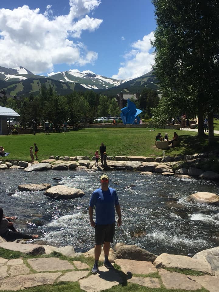
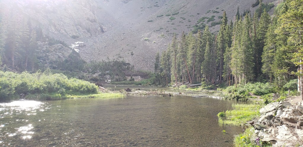
We finally made it to our AirBnb in Arvada, just outside of Denver. We hung out around Denver one of the days we had left. We checked out this area called the Mall, and outdoor corridor of shops, restaurants and the like. We did spend a day checking out Red Rocks, and then exploring Breckenridge. Breck is another really awesome ski spot. After doing some light exploration of the town, we saddled down to a beer at the Breckenridge Brewery. That Vanilla Porter is delicious, but they actually sell it here in Florida, so I had some other brews! Afterward, we did a pretty decent hike in the afternoon, something called Mohawk Lake Trail. We didn’t make it quite to the end as it was getting late, but we went pretty far and to one of the lakes nearish the end.
The Adventurer in Breckenridge. Photo by the Sidekick.The end of our trail in Breck.
The wrap up of our trip was a morning spent in Golden. We found a little mountain hike and a cool bar to finish up our trip before heading to the airport, Ace Hi Tavern where the Sidekick gave a great narration using the map in the bar!
Nicki narrates our trip!
Overall impressions: Pros: Two national parks. Telluride is amazing. The white water rafting was outstanding fun. Not scenic really, but super intense! It was awesome getting up close and personal with actual damn wolves! Cons: Just a lot of driving, which cannot be helped. Maybe, as I said for the previous year, there is too much to do!
The Adventurer Final Word: 5 Stars! If you haven’t experienced Colorado, and I don’t mean Denver either, you are missing out!
Ok, so this one actually came before the California trip as well, and I forgot it too! Oops! Anyway this was a road trip my buddy Matthew took with me. He lives in Guam but comes to Florida to visit often. We have been throughout Florida so much, and I have the travel bug so I suggested we take a road trip out of state when he got here. The. plan: leave for Savannah, GA on day one, and stay the night there; get up the next day and drive to Congaree National Park; from there head toward Asheville and make an overnight stop there; get up the next day and go to Great Smoky Mountains National Park; stay the night in Cherokee, NC; travel and stay the day and night in Clayton, GA; return to Florida. In other words: a lot!
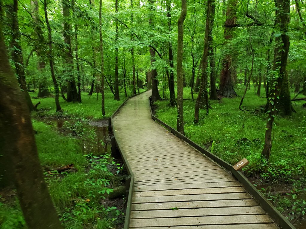
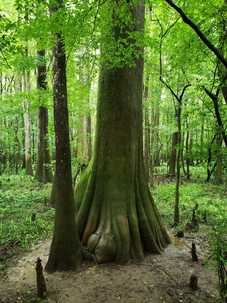
Unlike literally EVERY SINGLE OTHER TRIP in this blog, this one had not so good weather. My good weather streak ran out, so things were not ideal. It was not terrible…but not ideal. I had hope to do some more exploring in Savannah, but unfortunately it was pouring so dinner and a quick stop at a brewpub was it. The next morning we stopped at Congaree National Park, SC, home to some of the largest cypress trees in the country, and is some kind of special bottomlands hardwood forest. It was sparsely attended, very serene, very green, and there was not a ton to do aside from a boardwalk hike that turned into a small trail through the immediate area. I understand there is some kayaking and canoeing that one can do on the Congaree River if one desires.
This was pretty much it for a quite a distance! Taken by the Adventurer.Some of these cypress trees are over 150 feet tall! Taken by the Adventurer.
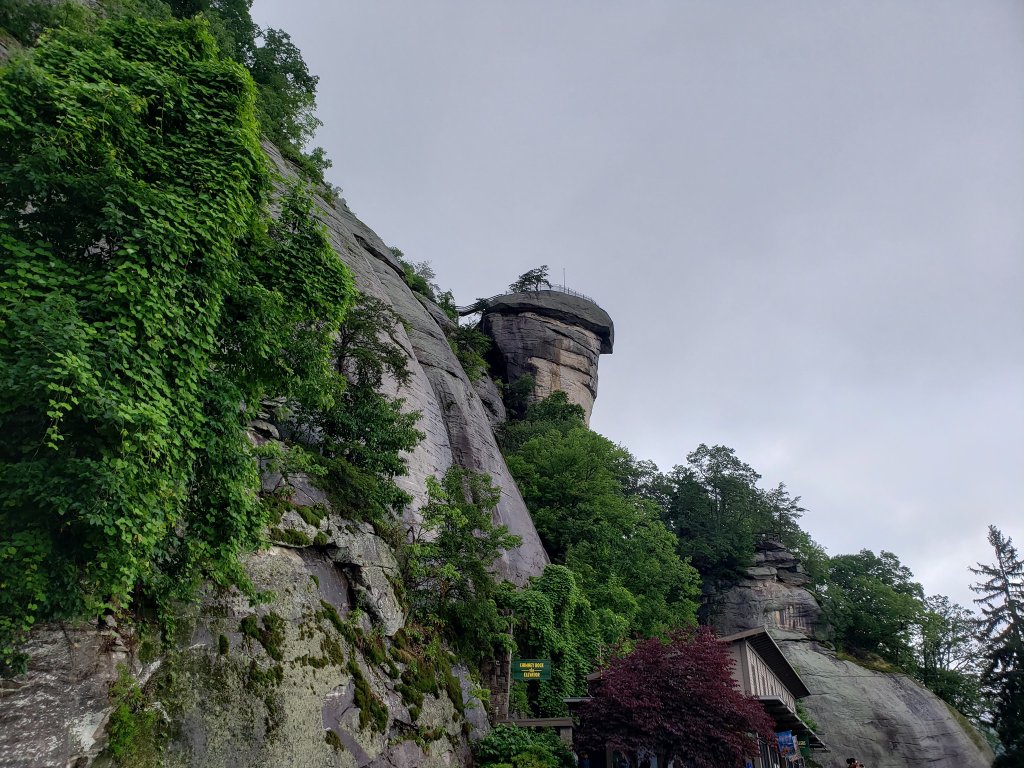
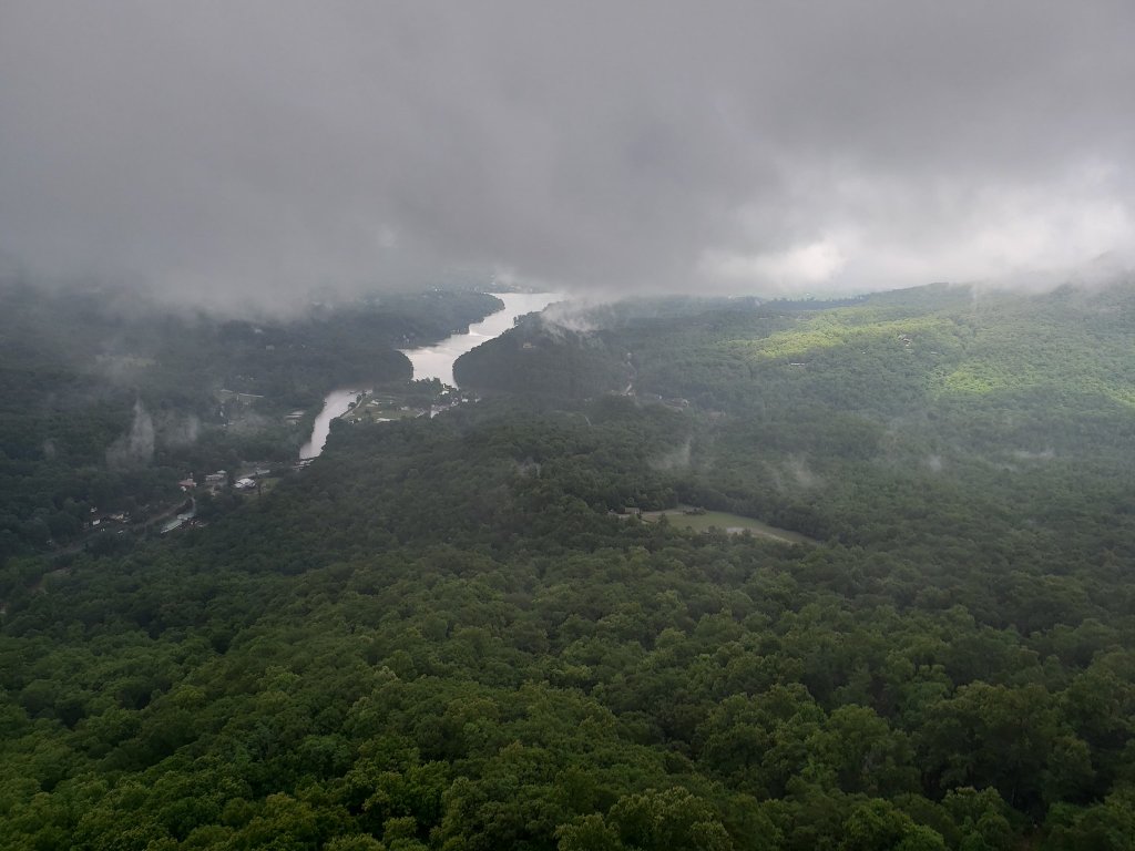
After departing Congaree we decided to stop at a place called Chimney Rock, just outside of Asheville. There was some good hiking around the area and it seemed really neat. But the weather was not great, we ran into a copperhead, and it was ho hum because of all of that. I could see how it would be spectacular in good, non snakey weather though!
Chimney Rock by the Adventurer.The view on this day from the top of said Chimney Rock….Taken by the Adventurer.The Adventurer acting goofy on the hike up! Taken by the Matthew.
My buddy and I made it to Asheville and did some of the same things I did just a year earlier. No pictures or further commentary because I just wrote about that trip a few days ago! So the next morning we drove from Asheville up to Gatlinburg, TN. There was a new Skybridge situation they had built there and it seemed worthy of checking out before going into the Smokies. It took a lift to get up there and unfortunately while we were up there storms moved in and we got stuck for a while. Annoying, but what can you do?
Selfie time! Oops on the reversed lettering…but this is the skybridge. The middle is all glass.
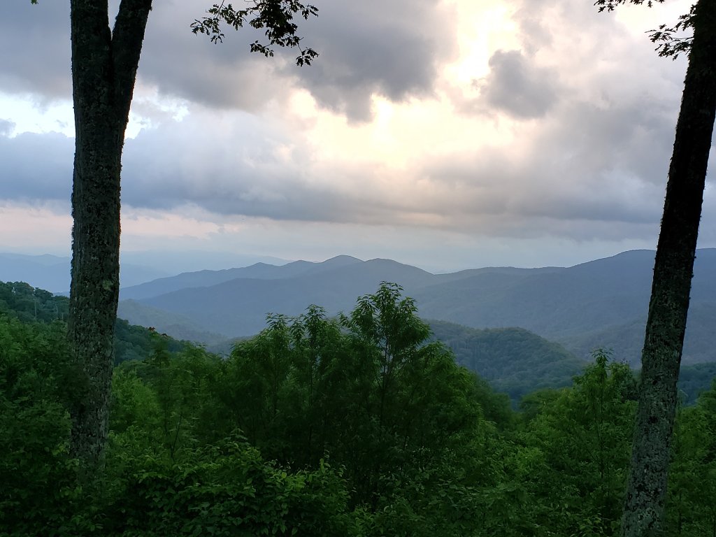
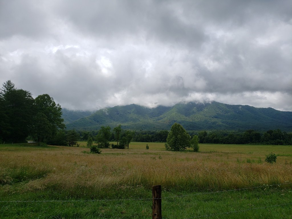
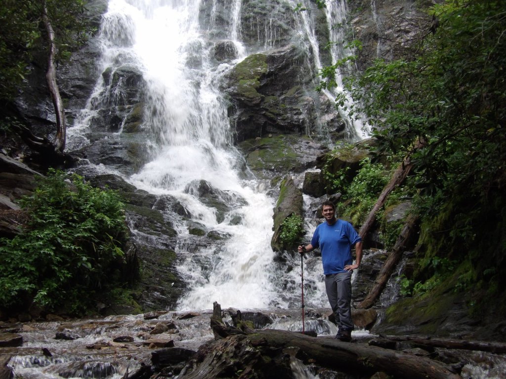
When we finally got down it was time to get into the Smokys. Before I get to further into this and it sounds like a not so good experience: The Park itself is splendid and a real gem – easy to see why it’s the most visited national park! Obviously, this was June, so heavy crowds were to be expected but it was pouring and I was hoping that the silver lining could be less crowded. But, no. It was crowded AND pouring rain. My hiking aspirations went out the window. We drove awhile in the park and managed to get some better weather in the Cades Cove area…and the dumb long line of cars slowly inching their ways through the area. The weather turned annoying again so we basically just finished the drive south through the park and checked into our Airbnb in Cherokee. We found a cool short trail to a neat waterfall before heading to dinner. While at dinner it cleared up and the sun came out! I told my friend: “Hey, let’s go back into the park.” So we did, and it was much nicer experience. We decided to try the drive up Clingman’s Dome at around 7 or 8 o’clock, which was a mistake. The sign said exactly how many miles it was to the summit and I don’t know if I ever watched the tenths of miles click off on the odometer so closely! I couldn’t tell you if the drive was crazy scary and exposed or not. It’s like we were driving through a cloud the entire time! We eventually made it to the top and did the short hike up to the top of the observation deck. I assume from the signs up there that you can see miles and miles, but we could see like 15 feet.
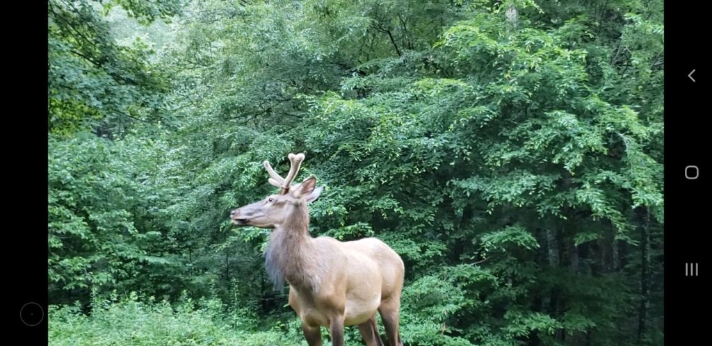
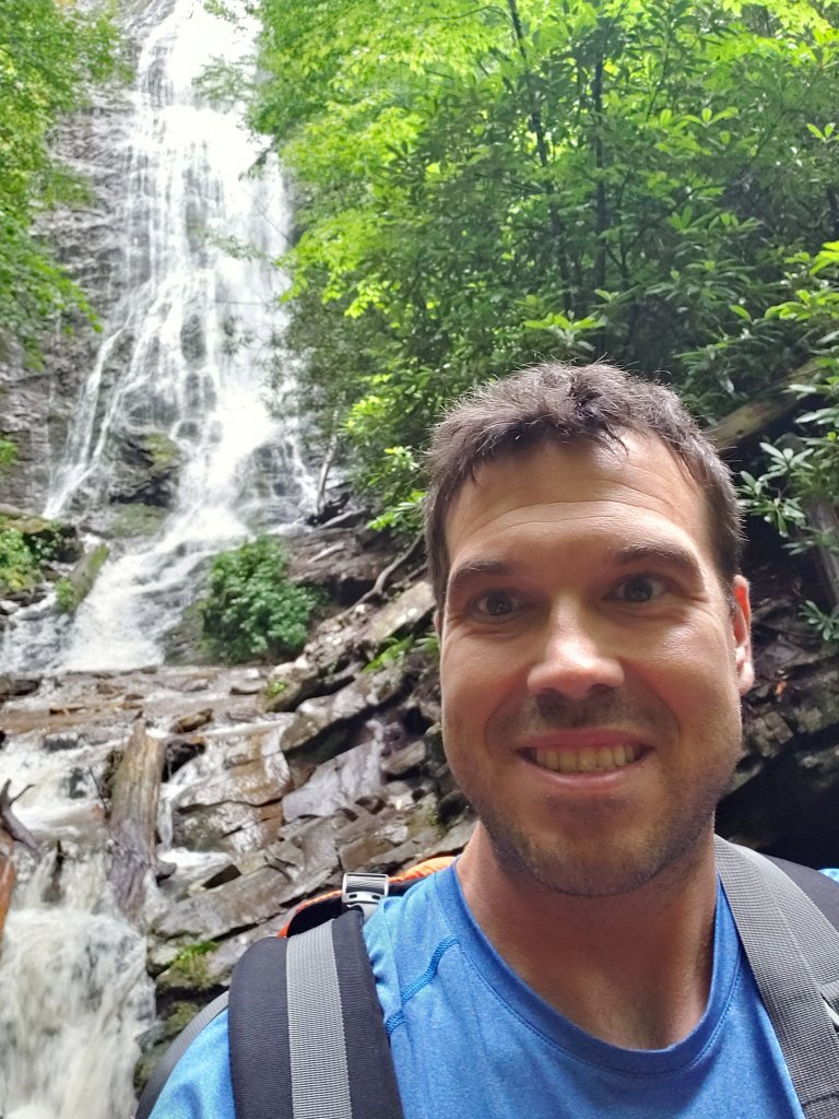
Smoky Mountains later in the day. Taken by the AdventurerAn old mill in the Smokies. Taken by the AdventurerCades Cove, taken by the Adventurer.A close encounter with a friend, photo taken by the Adventurer.Mingo Falls, Cherokee, NC . Photo taken by Matthew. This is the end of a pretty short trail. I doubt you are supposed to go where I was standing.And…selfie time from that spot!
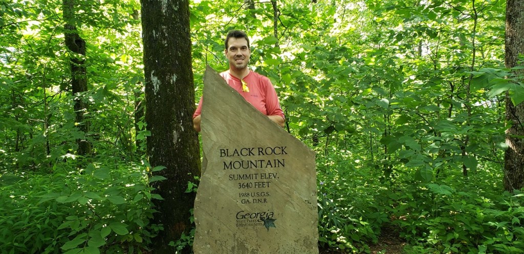
The next day we headed down toward Clayton, GA. I was there just the year prior and it is only an hour or less from Cherokee, so a return was warranted. We hiked Black Rock Mountain, the Tennessee trail, from start to summit, about 2.5 miles or so. The year previous I had just driven up to the top, but the summit was actually off in the woods. We did the Tallulah Gorge hikes which I had already done before we saw goats on top of a country store, and had dinner at the restaurant I had been to the last time. Protip: if ever in Clayton, GA, check out fortify kitchen and try their homemade butter…you can buy a big container of it, and it’s not cheap but OH SO GOOD. After the long trip back to FL, this trip was in the books!
Many goats are on top of this store. And watch for droppings from above…The big falls in Tallulah Gorge, taken by the Adventurer.Summit of Black Rock Mountain! Taken by Matthew. Take the Tennessee Trail
Overall impressions: Pros: Two national parks. Smokys after the crowds and rain cleared out. Clayton, GA (again) Cons: Weather. Smoky’s with the crazy crowds and not so good weather. Congaree is neat, but not much to do there.
The Adventurer Final Word: 4 Stars! It was a cool roadtrip for sure. Had the weather been better if might have been close to 5 stars.
I might have mentioned at the beginning of the blog that I would try to keep everything in some semblance of order. Done pretty well so far! However, I forgot this one. And it’s going to be a short one. The FIRST trip of a very travel heavy 2019. The friend I went to Colorado with in 2018 had his 50th at a restaurant in Islamorada, one of the northern Florida keys. He, his wife, some friends and family made the 6 hour drive from the Tampa area on Saturday and were to come back the very next day.
I went ahead and left Friday morning with the intent to stay in the Wynwood area of Miami. Think of a grungy industrial, craft brewery area and you got it! I also was meeting up with a former student of mine from many years ago who works in Miami now. He lives in a high rise in an area of Miami called Brickell, so we cabbed it down there and checked out some cool spots for the evening. Miami is NUTS. It’s huge. I had been down there once or twice when I first moved to Florida and its either grown like crazy or I just forgot. Anyway, Saturday morning I got up and tid a tandem drive by of two national parks near Miami.
Miami at night.
I first went to Biscayne National Park and to be fair this visit is not really even a visit. I walked around outside along the shore a bit and checked out the visitor center, but the bulk of the park is off shore in the waters and islands off the coast. I simply didnt have the time it was going to take to get out to the islands and …. walk around them like any other offshore island in Florida.
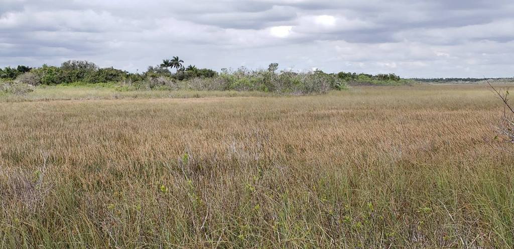
Some may not know this, but the entrance to Biscayne National Park is literally like 30 minutes from the entrance to the Everglades National Park. So I zipped it over there real quick like! I went in, found a visitor center and found a short hiking experience down the road a bit and called it a park. I had been there once before is some fashion…and to be honest? I’ve said it before and I’ll say it again…Florida is not that varied really. Once you have seen one swampy alligator infested marsh you’ve seen em all!
Everglades.
The locals of the Everglades.
Off to the 2 hour drive to Islamorada. I have done this drive all the way to Key West before, and it is very pretty. The water is gorgeous! If it were not so far from me I would go down there much more often. The Fish House is a super awesome place to go if you like seafood! I apparently did not take many pictures on this trip. Weird. But it is what it is!
Overall impressions: Pros: The water down in this part of Florida is great! The keys are cool for sure. Two national parks (ho hum as they are for me) are within a stones throw of Miami. Cons: The scenery is not very good unless it’s the waters around the keys. It’s not easily accessible from me. The keys themselves are still a good ways from Miami and the traffic is a nightmare.
The New Orleans crew, dog included (well traveled dog!) had already booked this California trip before we booked that New Orleans trip I believe! Destination: wine country!
As a prelude I will say that I really had to idea what to expect from this trip! I had never been to California before. I did not know what the terrain was like, what the weather was like, and I used to be fairly non-discriminate in my wine drinking! I came back very impressed with this area of California and somewhat a wine snob!
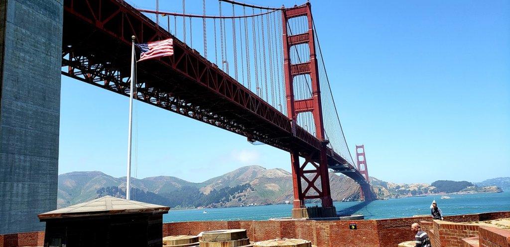
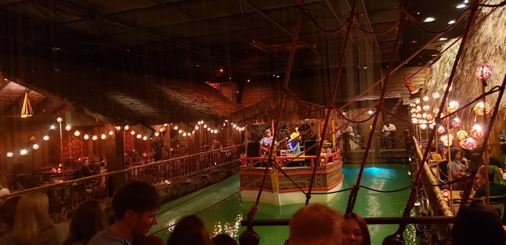
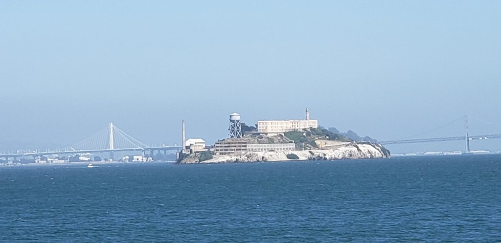
We landed in San Francisco later in the evening and got a start the following day! We spent the next two days in the immediate San Francisco area. I had never been to San Fran and never to California either. The nice parts of the city were definitely nice and it was definitely HILLY. We rented bikes and biked around the north shoreline from the piers and out to the Golden Gate Bridge. I do not believe many people know there is a fort under the bridge that is a national historical park. The basically built the bridge over it…kinda neat! Beautiful sights of the city from that area. We then biked over the bridge. It’s longer than I thought! And lot of people running/walking/biking. Cool experience for sure! We continued over the bridge biked down into Sausalito. This is a really neat looking town! It reminded me of towns you would see in Greece or Italy with the way the houses were built into the hills. The great thing about the biking excursion was that you could ferry the bikes back across the bay, so doing the biking and the ferry past the bridge and Alcatraz all in one! That evening we stopped by and visited some supposedly famous San Francisco Bar called the Tonga Room…a place that seems…like it shouldn’t be successful, or even popular. It’s like a kitschy ass older folks place with a young crowd and a big barge in the middle of a swimming pool with a live band? I dunno, weird.
The Golden Gate Bridge over Ft. Point National Historic Site. Photo by the AdventurerThe Tonga Room in San Francisco, taken by the Adventurer.Alcatraz from the ferry back from Sausalito. Photo by the Adventurer
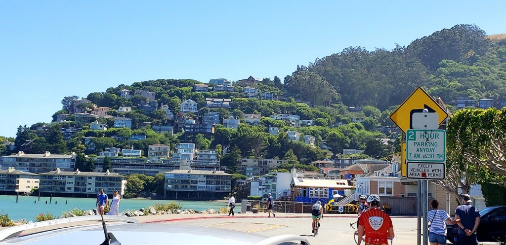
So the next day we got into our rental truck and headed north, over the bridge and out of the city back to Sausalito. Such a pretty spot! And we wanted to take the dog there and get a nice lunch! Afterword we headed up the road to Santa Rosa, our home base for the next several days.
Sausalito, CA. The business part of the waterfront is behind me, but it’s a pretty place! Photo by the Adventurer.
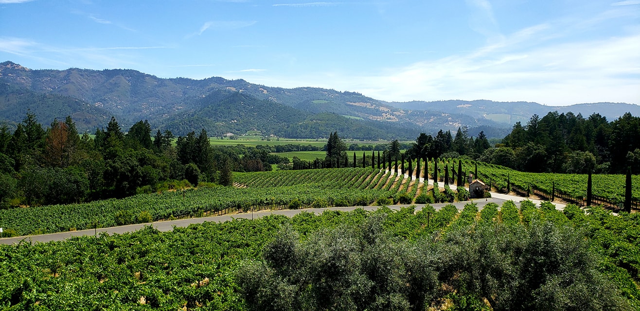
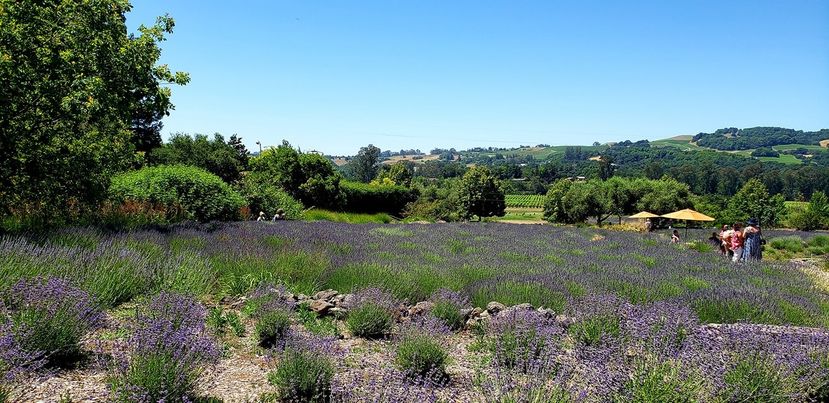
Our AirBNB was in a really neat, quiet spot kinda at the bottom of a large hill/small mountain, it was probably good that we had a truck for getting up and down the road the house was on! And, the best part? It was conveniently only about 1 mile from a really nice winery with killer views and pretty lavender fields! To clarify, Santa Rosa is in Sonoma County. Wineries could open at 10 but they had to close by 6, I think, and you could buy wind by the glass and drink on the property in Sonoma, which was not something you could easily do in Napa as we found out later.
The view from Matanzas Creek Winery, near our AirBNB. Lavender in the foreground, grapes in the background. Taken by the Adventurer.
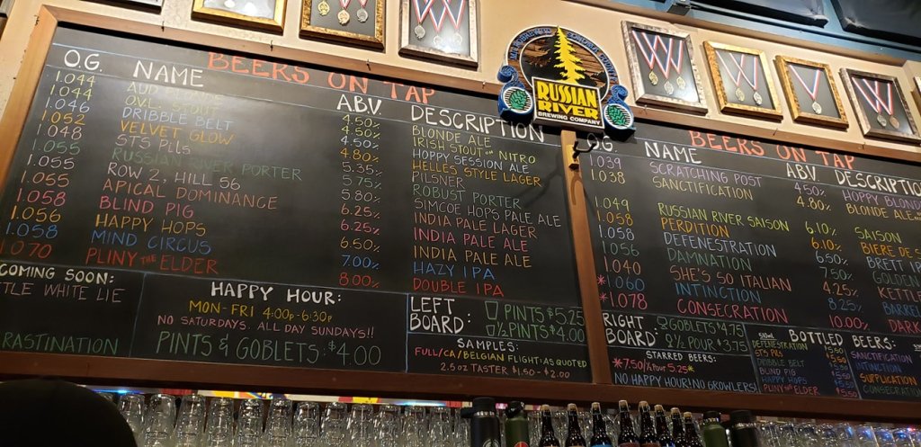
Santa Rosa is also home to a world renown brewery called Russian River Brewery, named after the area close by where there are also lots of vineyards. So, we definitely had to check out that scene!
The tap list at Russian RIver Brewery. AKA Beer Mecca. Some of the beers on this list are among some of the more highly rated beers in the world! Taken by the Adventurer.
In addition to visiting wineries in Sonoma County, we also ventured off into Napa County next door, and down to Napa proper. But, it was quite irritatingly different! Apparently there was an old law in place for older wineries and a new law in place for newer wineries that dictated whether or not a winery could sell a person wine by the glass to be consumed on the property. You could spend a fortune buying a whole bottle of course, or spend for a proper wine tasting event (which we did a couple times) but if you wanted one glass of that wine you just tasted and liked, you might not be able to. Lame! Sonoma county had no such laws, so Sonoma became the preferred spot!
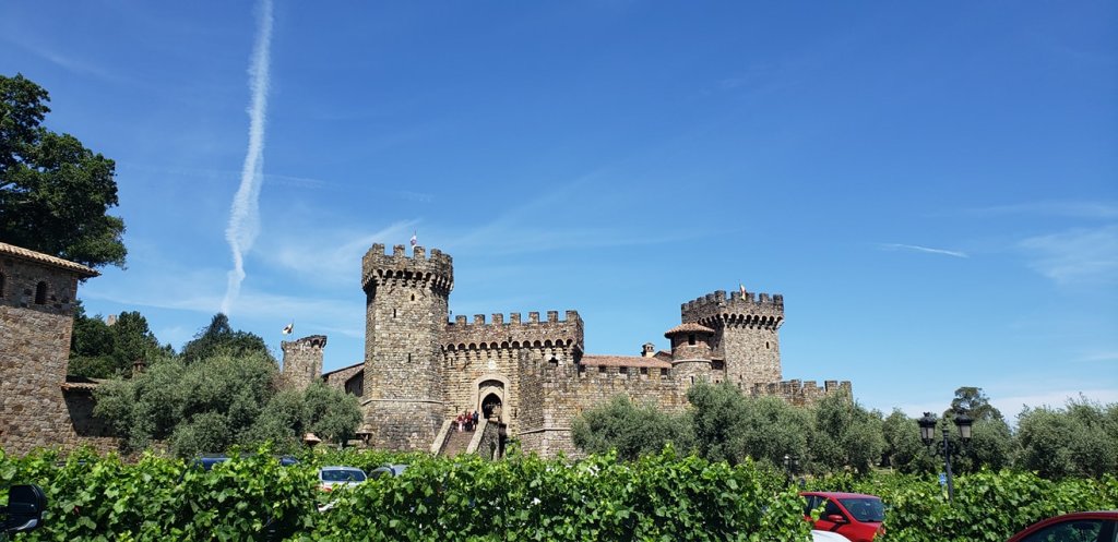
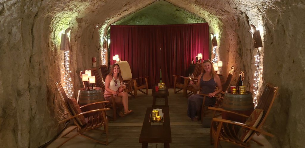
Castello di Amaroso in Calistoga, CA, Napa County. Spoiler Alert: this is a new castle, built to look old. Taken by the Adventurer. The group enjoying wine in a cave at the Hans Fadden WInery. The lady who served us said it was on the county border but inside of Sonoma, so wine by the glass! Taken by the Adventurer
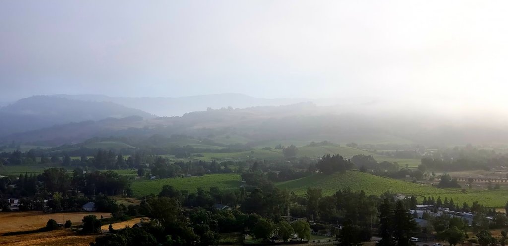
In addition to lots of winery stuff we also took a really cool hot air balloon flight over the Sonoma area!
Morning mist over Sonoma from a hot air balloon!
Naw, it’s gonna be pretty light. …. CRASH.
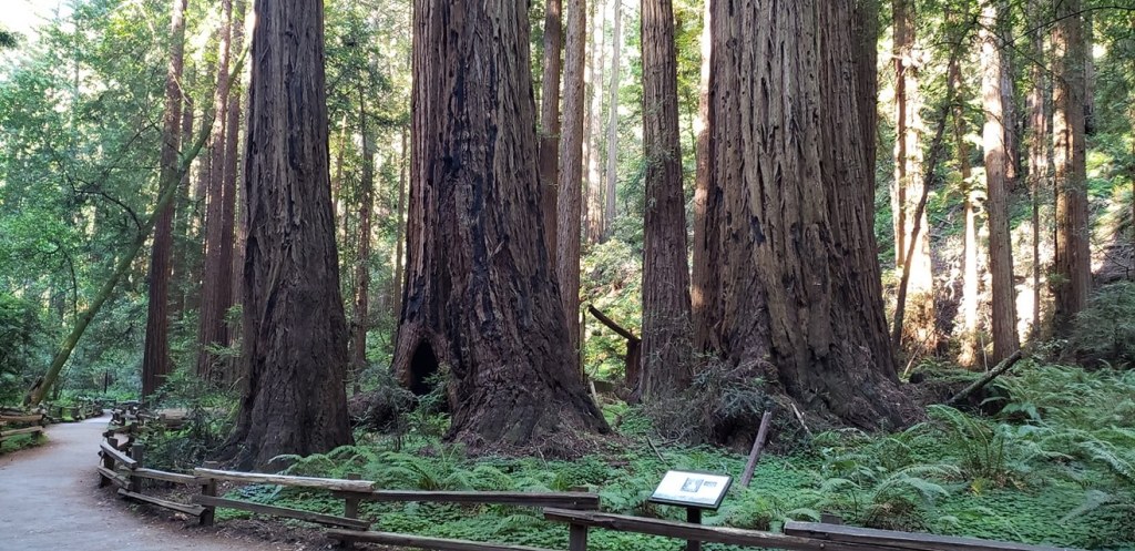
On our way back to to the airport we made a stop at nearby Muir Woods National Monument. Super large redwoods! Surprising that it is just right outside of the city! Protip: the drive down hill to this spot is intense also.
Muir Woods National Monument.
Overall impressions: Pros: Lots of close alcohol access 🙂 Great scenery, much better than I expected. The balloon trip was super cool if not a bit pricey! Cons: Not really any. Getting around San Francisco was a little annoying and time consuming and I would say that was the only gripe, and they only affected the first day and a half or so of the trip.
The Adventurer Final Word: Five Stars! Highly enjoyed this trip! Very relaxing, beautiful, and great wine!
The beginning of 2019 brought some new travel opportunities! My bff Nicki (from here on out, the Adventurer Sidekick) got a sweet deal with a Chase Southwest credit card. For a little spending within a set time period she got a decent chunk of points with Southwest and a companion pass for the rest of the year! Translation: she got a super awesome travel opportunity and I got to tag along! Our first trip was to the big easy, NOLA, with Nicki’s pup Charlie, and our friend Katie! This was my first time here. *There may be some slightly inappropriate pictures in here…it is NOLA after all!*
This was a spring break trip, second half of a week in mid march. We got into town, no rental car, just uber/lyfted or used the street car stop close to the AirBnb. So we got situated and headed out! First stop was a snack and beverage at a staple called the Columns. Seems like a swank little place on St. Charles Ave.
The friends in front of the Columns. Photo by the Adventurer.
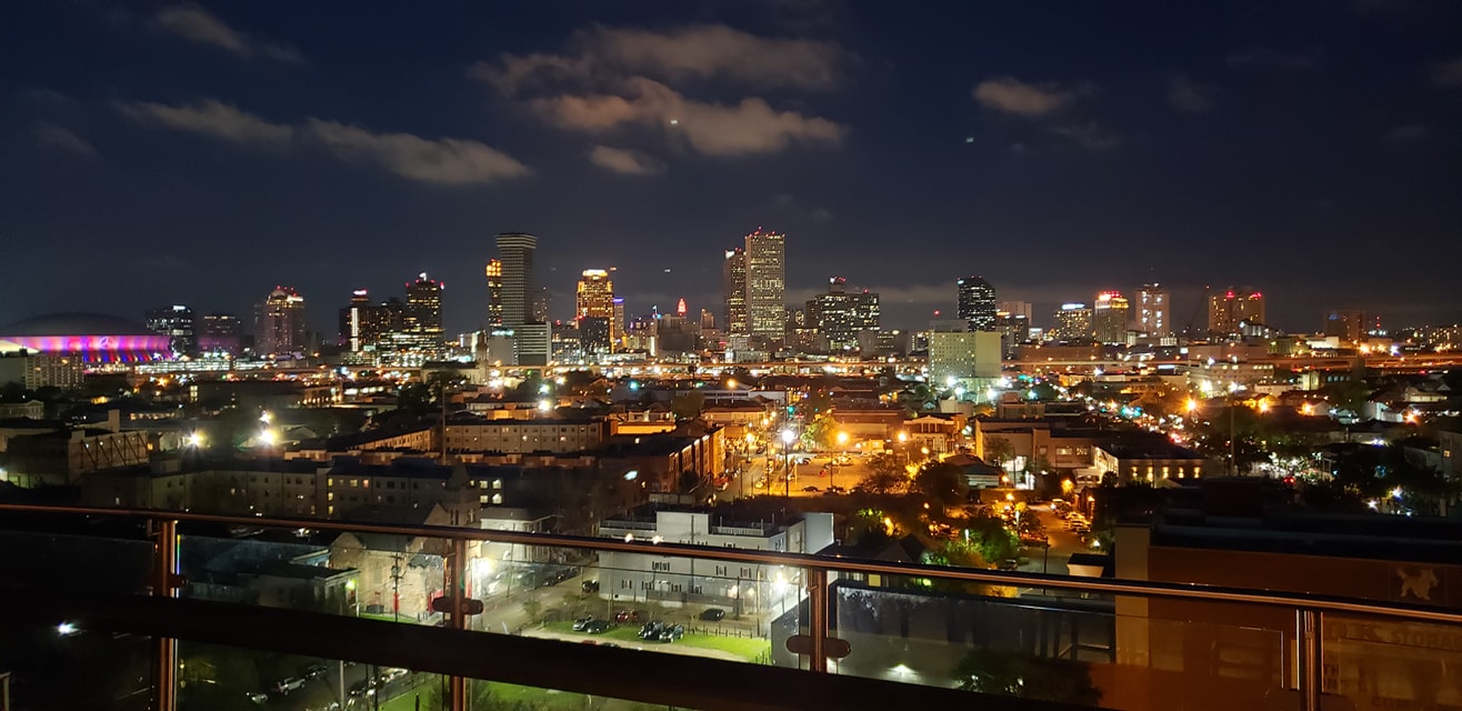
From there we found a roof top bar called Hot Tin and checked that out. Killer views of the city from here!
View of Nola from Hot Tin taken by the Adventurer.
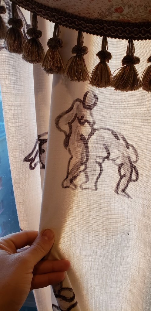
Some interesting curtains in the Hot Tin bar….
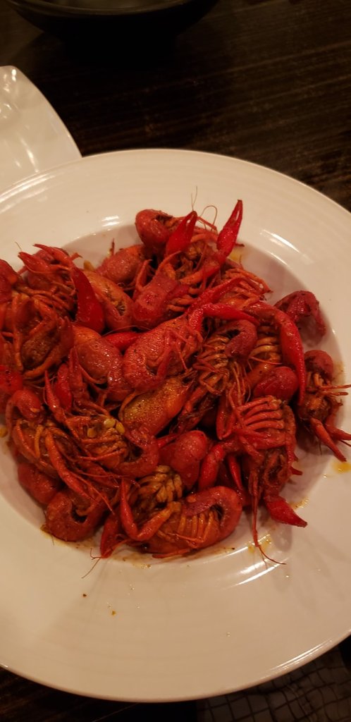
Now for the rest of this trip…there was a lot of good food, drinking, late nights, and some awesome music! One restaurant of note was the Court of Two Sisters where I had some delicious baked oysters. I also found some tasty…but how the hell do you eat these? boiled crawfish.
Delicious oysters at this restaurant, taken by the Adventurer.
These probably would have been much better had I any clue how to eat them!
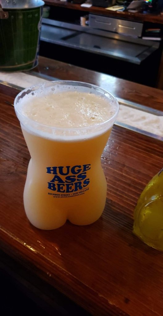
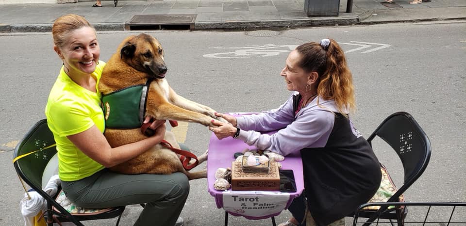
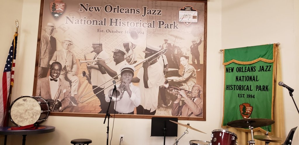
Other highlights during the trip: having a drink at Willie’s Cocktails, getting a Huge Ass Beer, Nicki and her dog getting a psychic reading (?), loving on the dog in general, meeting and hanging out with one of the Walking Dead Cast members, checking out the Carousel Bar, looking in on the Jazz National Historical Park and seeing some great live music!
Street cars are pretty important to NOLA.
Katie and me at the Carousel Bar. Photo taken by the Sidekick.
Dont’ be fooled. You can get damn near a 6 pack of beer in that Huge Ass Beer thing!
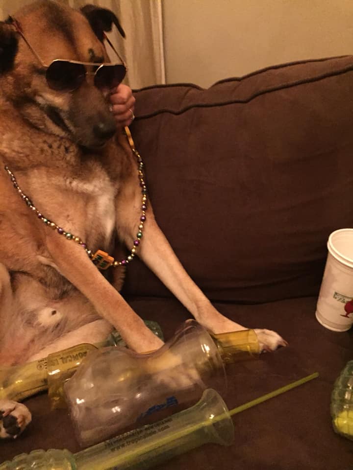
The pup had a GREAT time after….
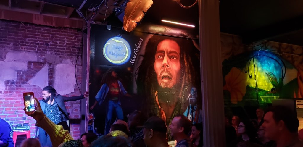
…getting a psychic reading! This place was very underwhelming….…but Cafe Negril on Frenchman Street was kickin! Photos all by the Adventurer.The gang plus Olivia (not her real name!) from the Walking Dead!Three friends kickin it in the Big Easy!
Overall impressions: Pros: Fun, relatively easy to get around, and many options for party type things, great food, great music! Cons: Lots of tourist trappy type things, I’m too old for this stuff, the Bourbon street smell is …not pleasant.
The Adventurer Final Word: Four Stars! The trip itself was a fun one! I am not sure I will ever find myself in New Orleans ever again, but it was definitely worth stopping in, especially with some friends!