Hey there Adventurers! If you are a new reader to my blog, I would like to share that many National, State, County, and other local parks have Bark Ranger programs for your dog and even for the kitties! The Sidekick and I created a #USBarkRangers, a Facebook group for Bark Ranger enthusiasts that now has over 45,000 members! We are by far the largest, and most accurate, Bark Ranger source on the internet! We have even compiled an AMAZING interactive map that we are very proud to provide! We also have an Instagram, a website, and an Ebay store (20 percent off our great looking gear right now!), so be sure to check it all out!


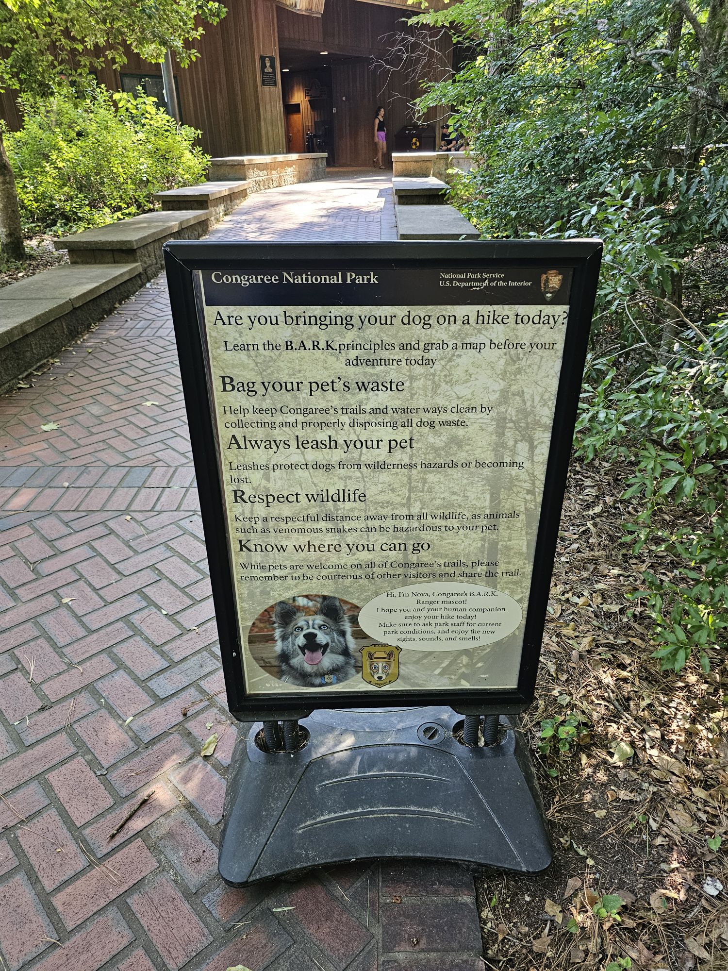
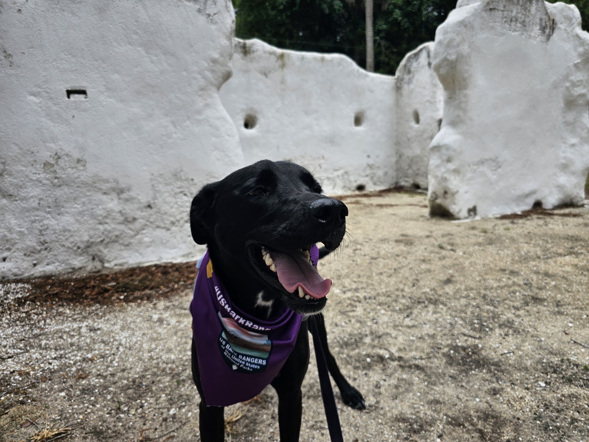
What is a Bark Ranger you might ask? Well, if you and your pup follow the B.A.R.K. Principles while visiting a park, they are a Bark Ranger! But, what are the B.A.R.K. principles? They are rules to follow when visiting a park, or any outdoor space with your pup! B is for Bagging the poop. A is for Always on leash. R is for Respecting wildlife. K is for Knowing where you (and the pup or cat) can go. Follow these, and your furry kid can be a BARK Ranger! But, some park sites, whether federal, state, or even local, go further and offer an actual program to complete with fun activities. Oftentimes there is a certificate and a tag as a reward. Sometimes there are bandanas. And sometimes a Park Ranger will do an actual, super cute, swearing in! These are great memories for furkids and owners!
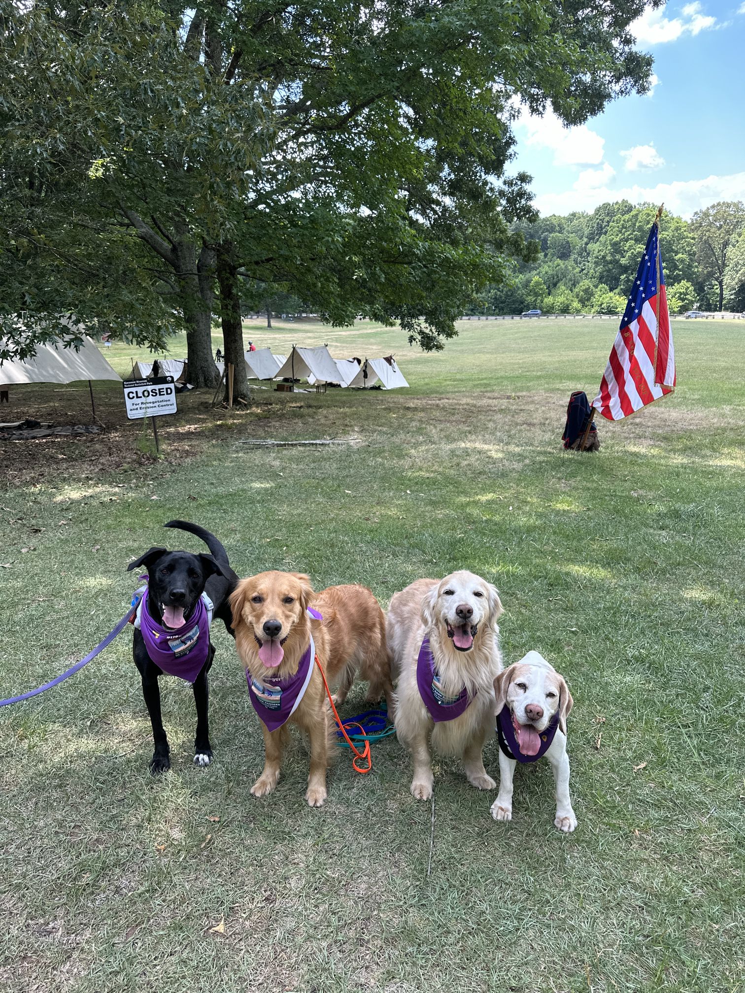
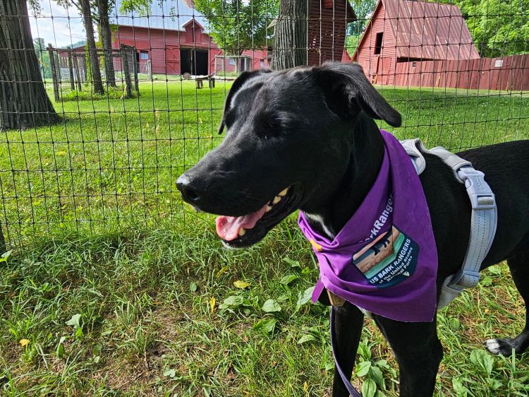
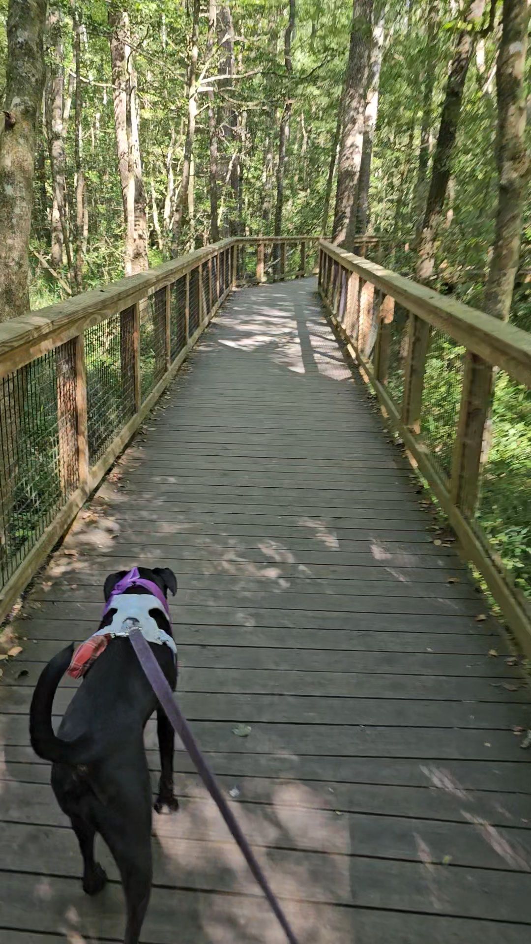
For Maisy’s first big Bark Ranger adventure we logged about 1700 miles spanning 4 states and 13 different National Park Sites! (That is counting Ft. Caroline and Timucuan as one, and counting Arabia Mountain, an affiliated site) We made a ton of pawesome memories! Please check out these previous entries, with a really brief synopsis. Bear in mind this was June of 2024 and things may very well have changed. Take a look below at the various swag found at the parks (if any) and feel free to click the links to my thoughts on those parks from my short visits!
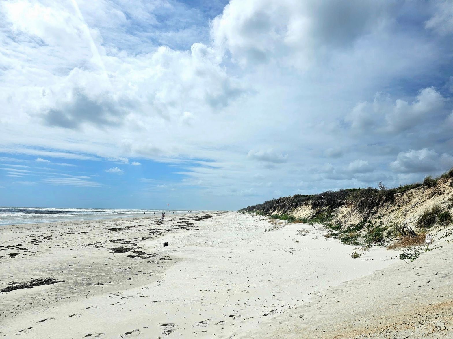
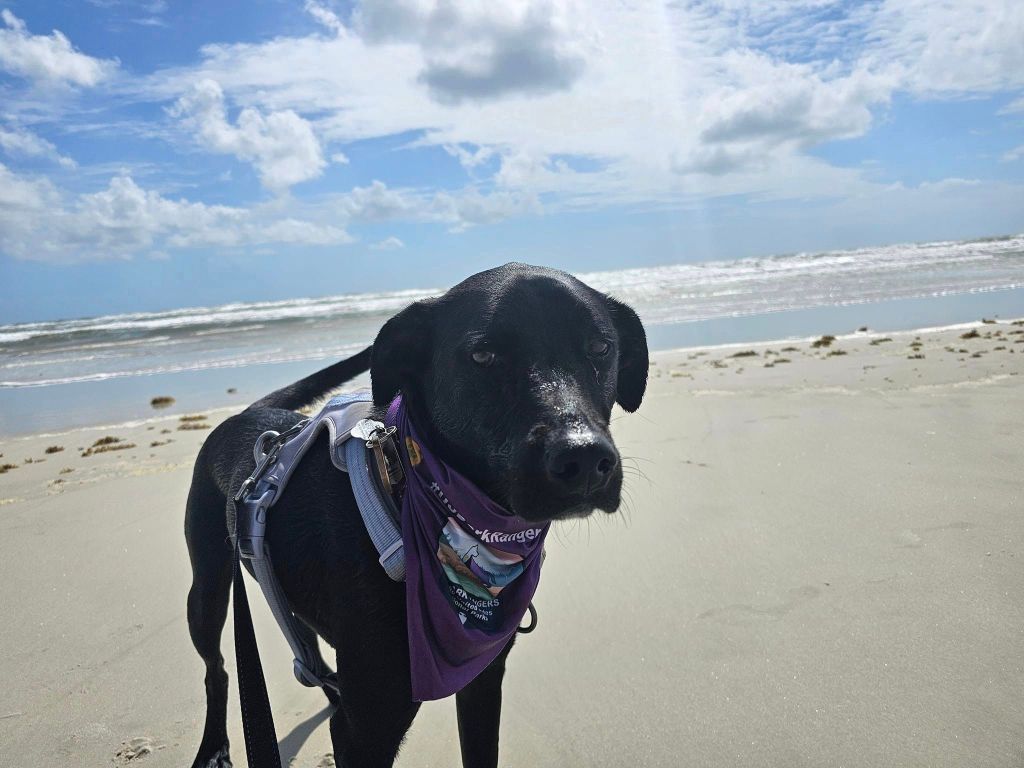
Canaveral National Seashore: Nothing Bark Ranger is found here, however, the park is generally dog friendly if you are not on the Atlantic side.

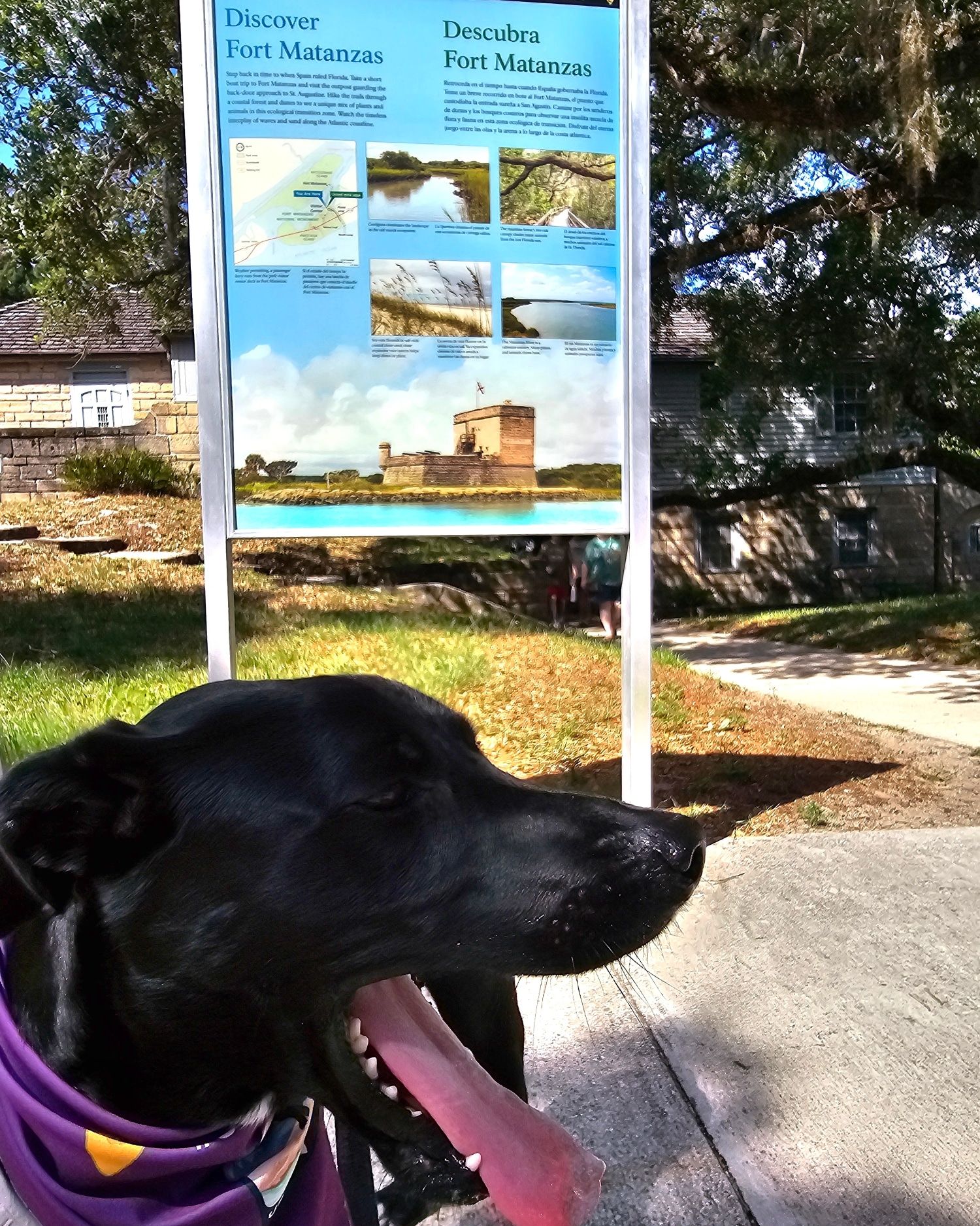
Fort Matanzas: Nothing Bark Ranger is found here. The Fort is not dog friendly at all, but there is a dog friendly Atlantic beach on park land.

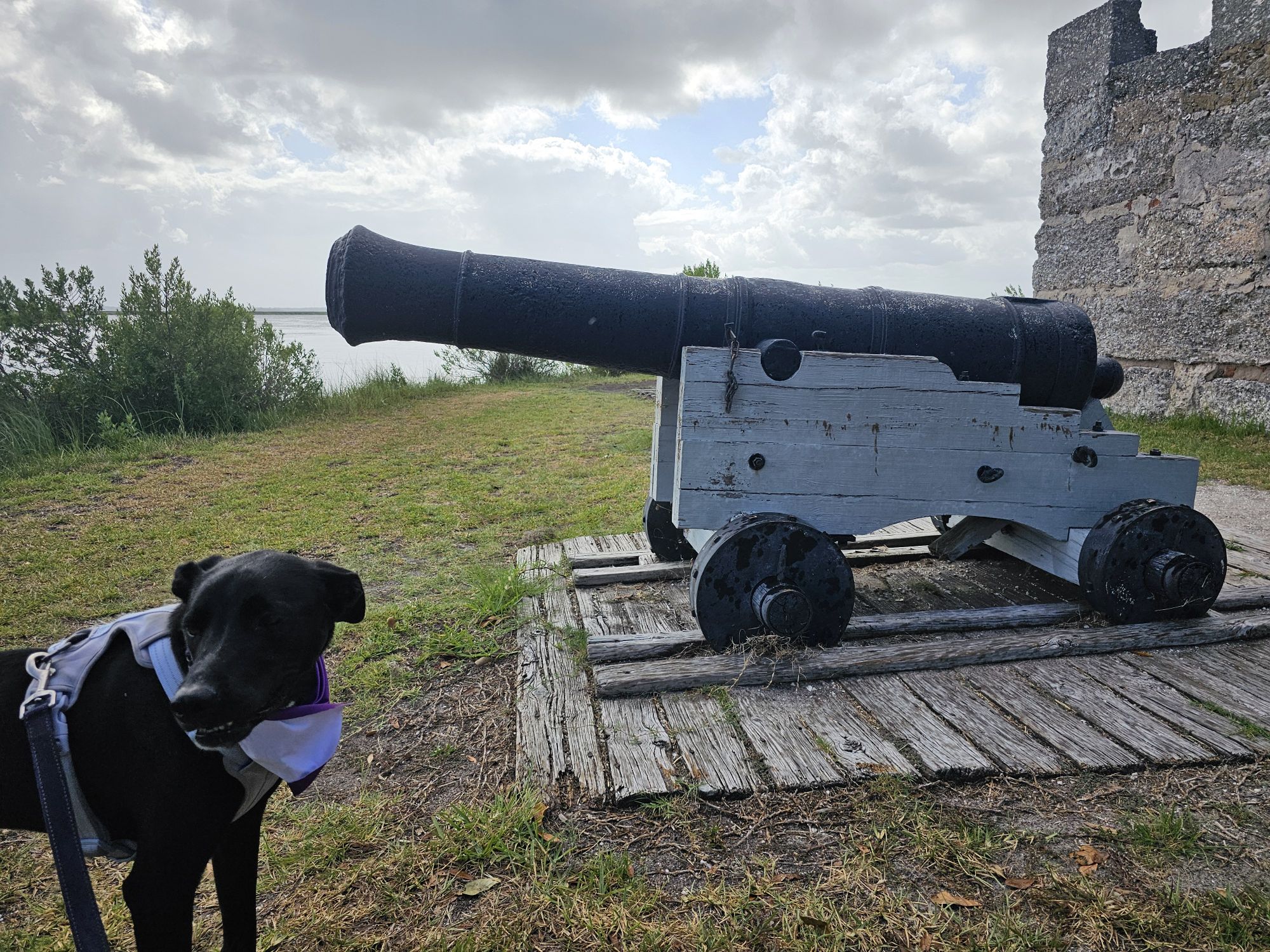
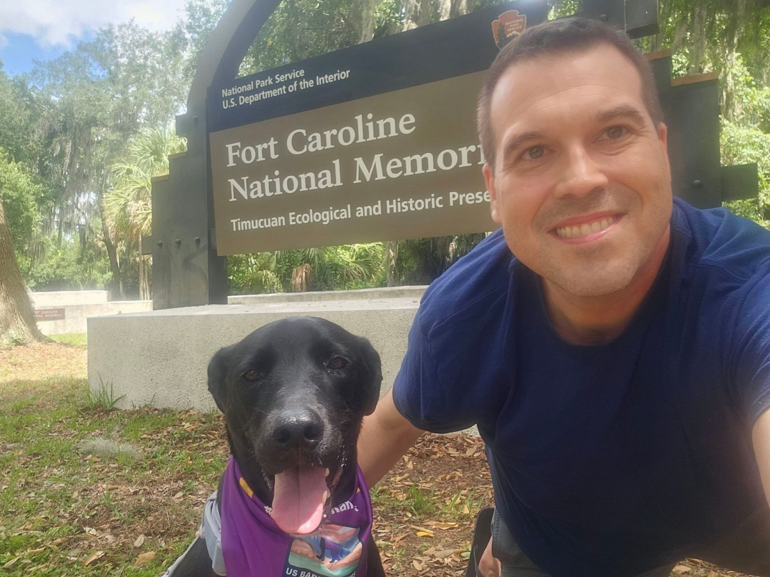
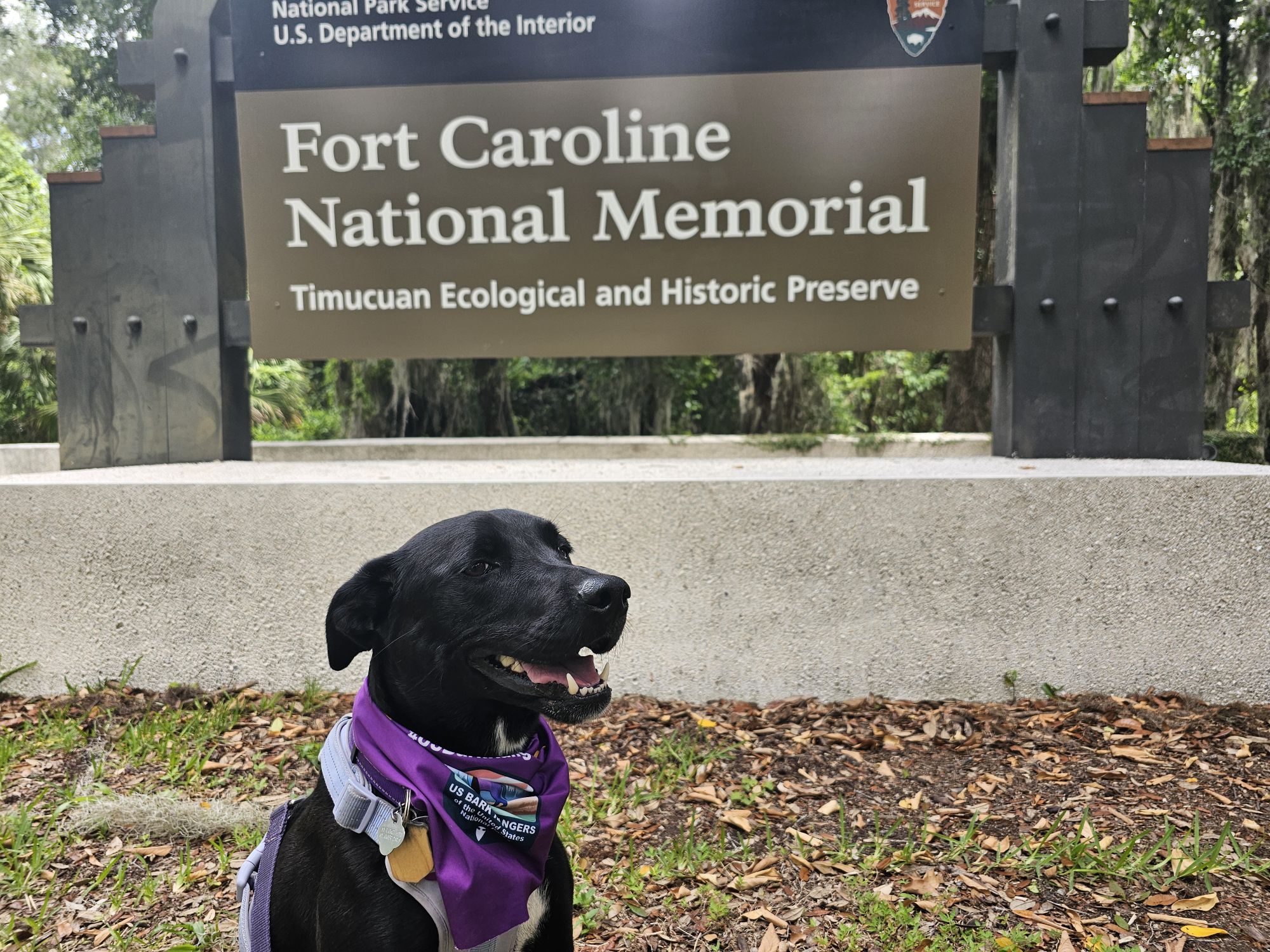
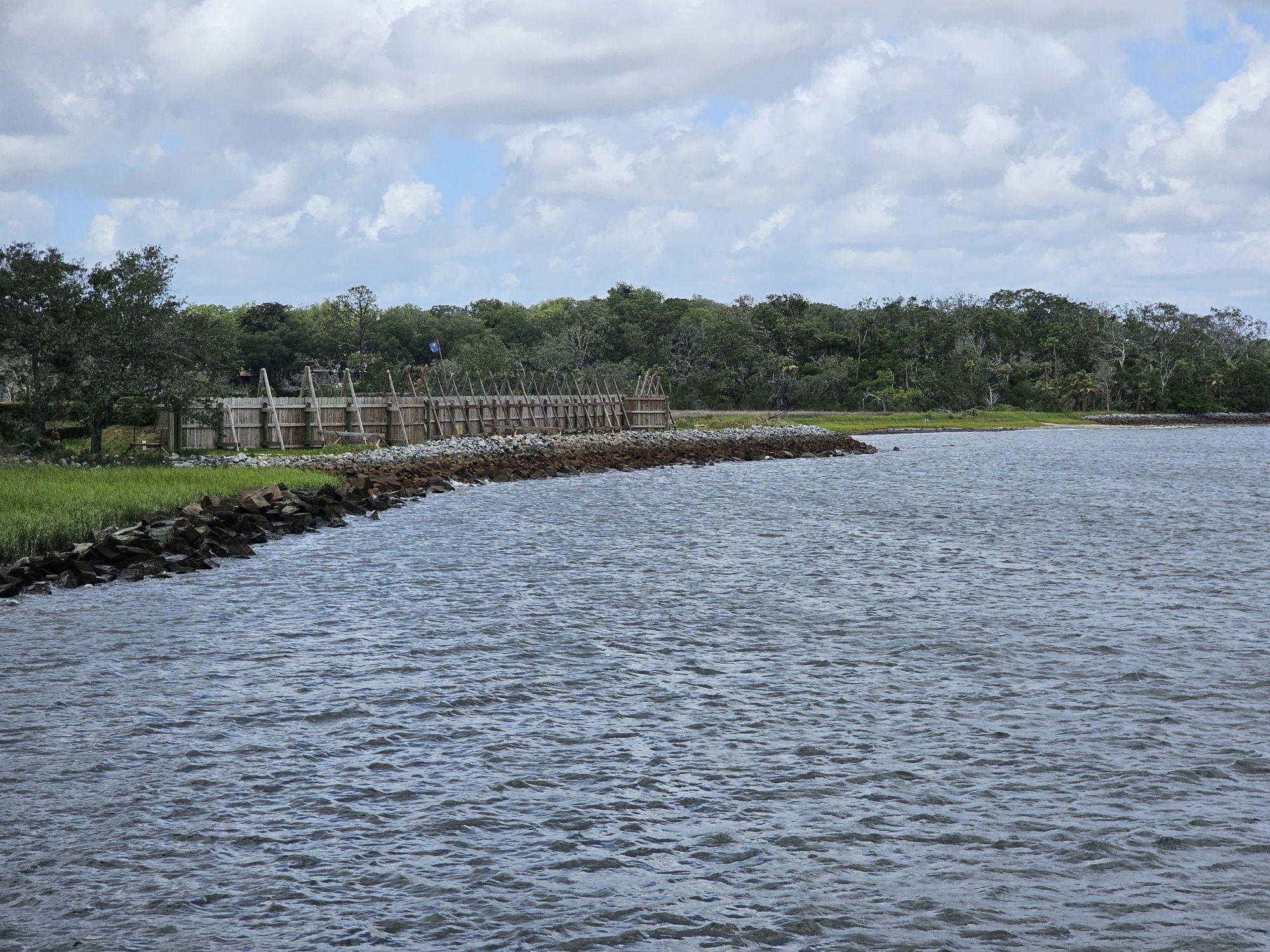
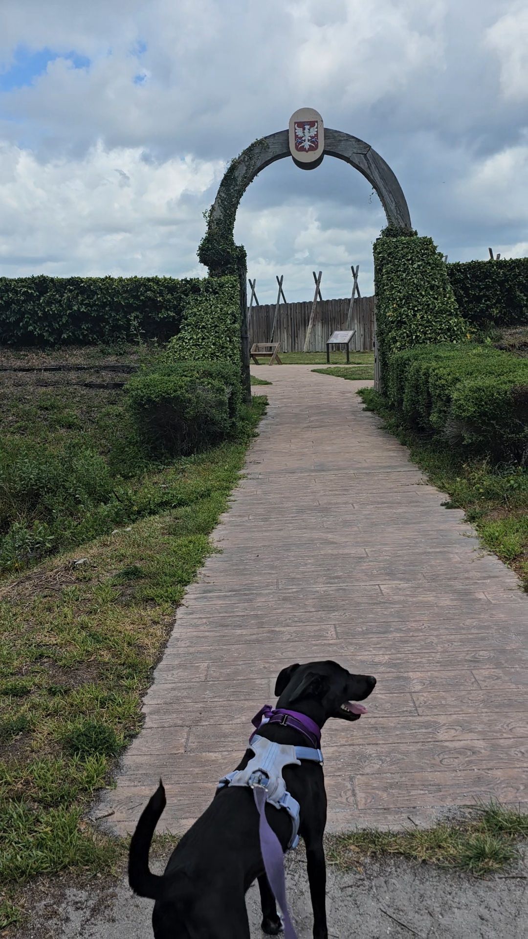
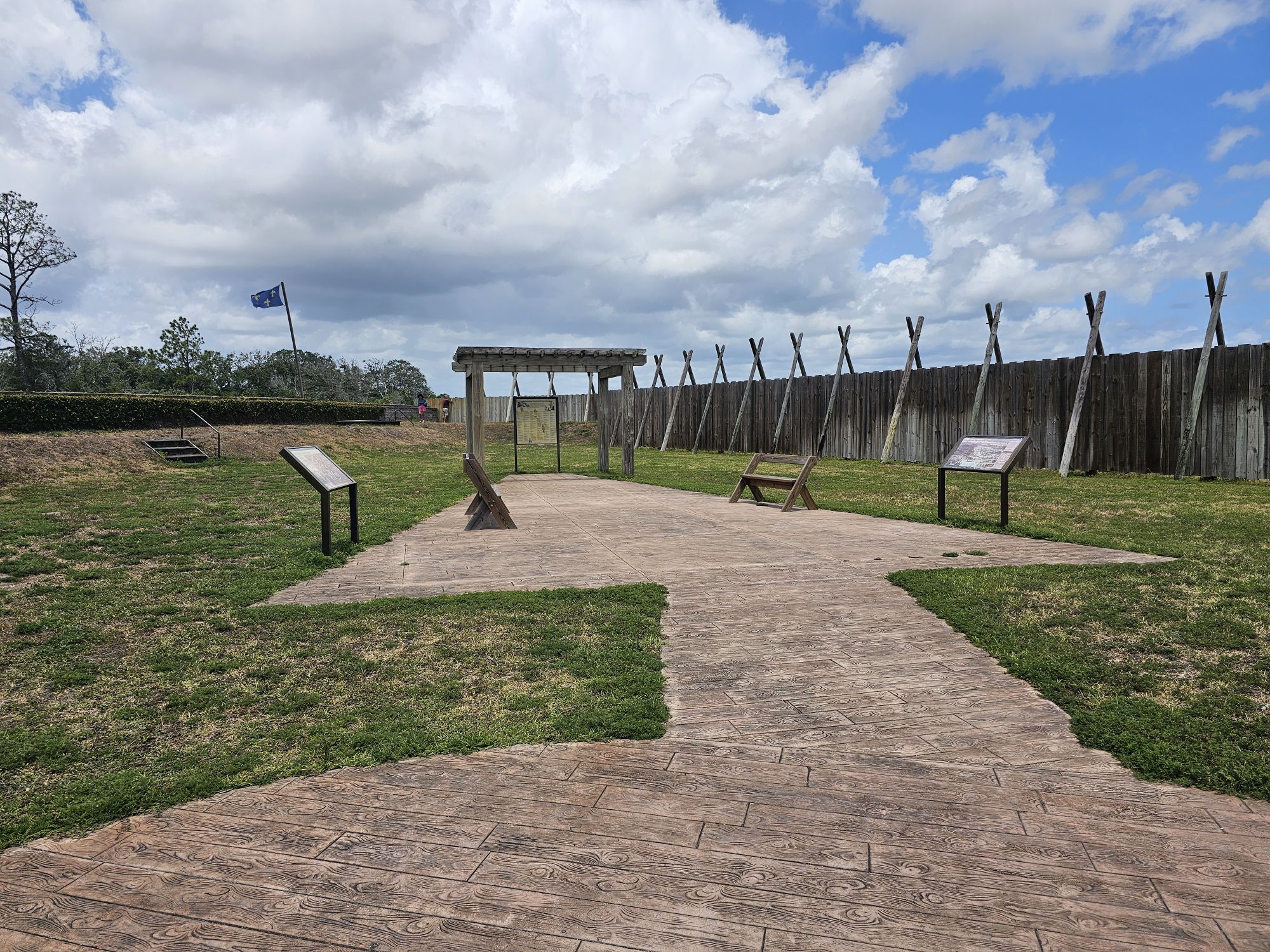
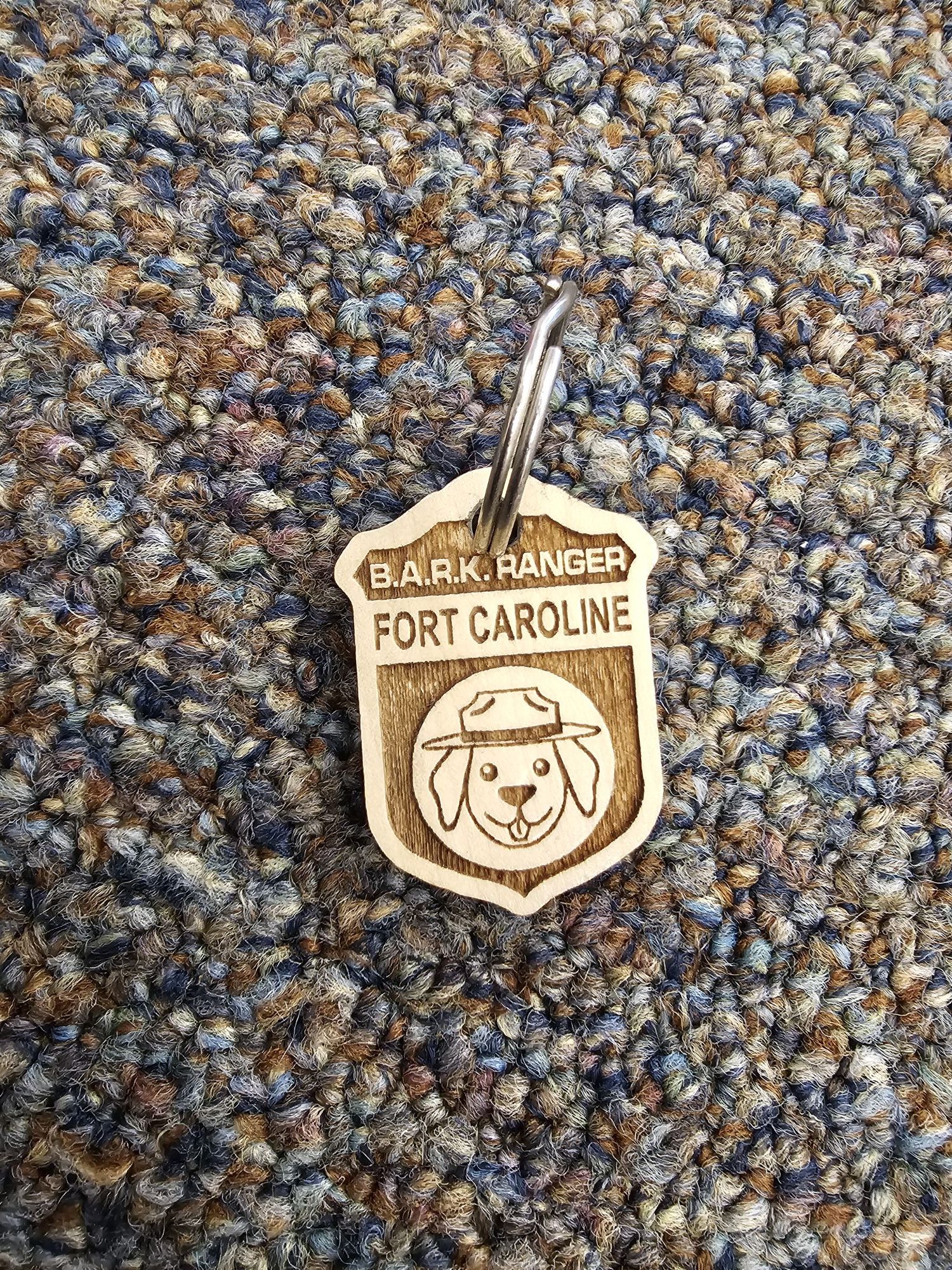
Timucuan and Ft. Caroline: This site, specifically Fort Caroline, had a Bark Ranger Program with a free site specific wooden tag, for my first trip, but did not for this trip. Since then they have reinstated their program, but the last update from a member of our page indicates that the site may not be offering a Bark Ranger tag again. I am including a picture of the tag that Bella earned a few years ago.

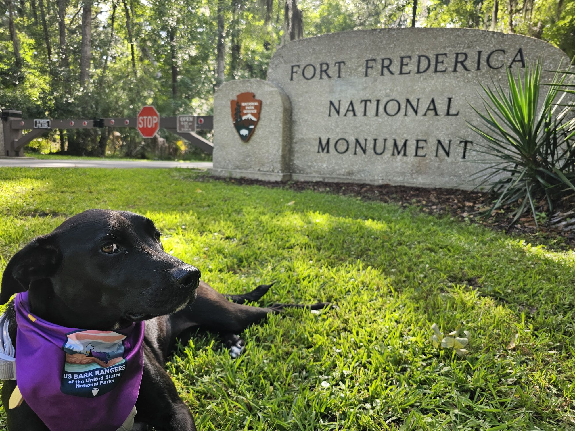
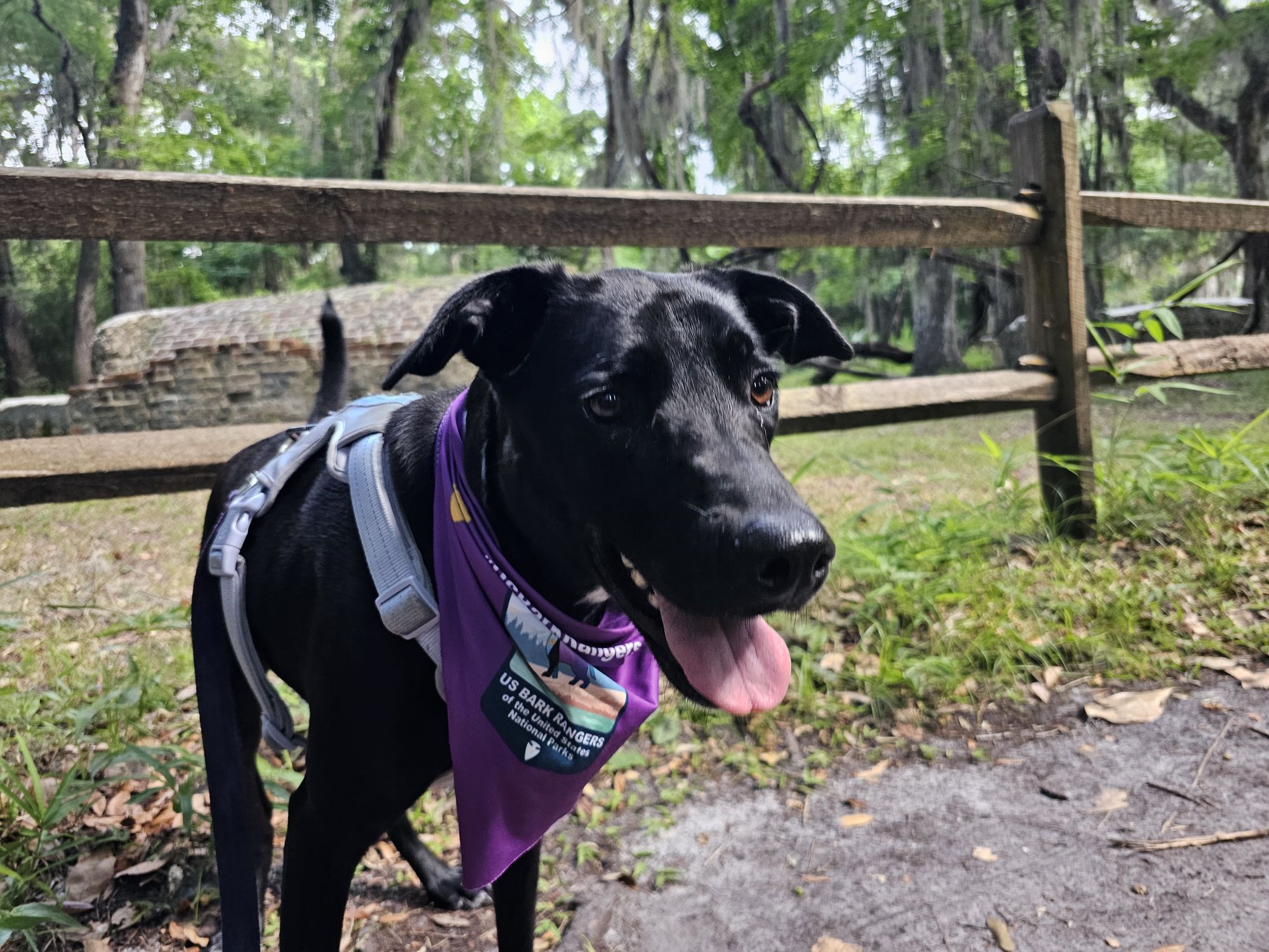
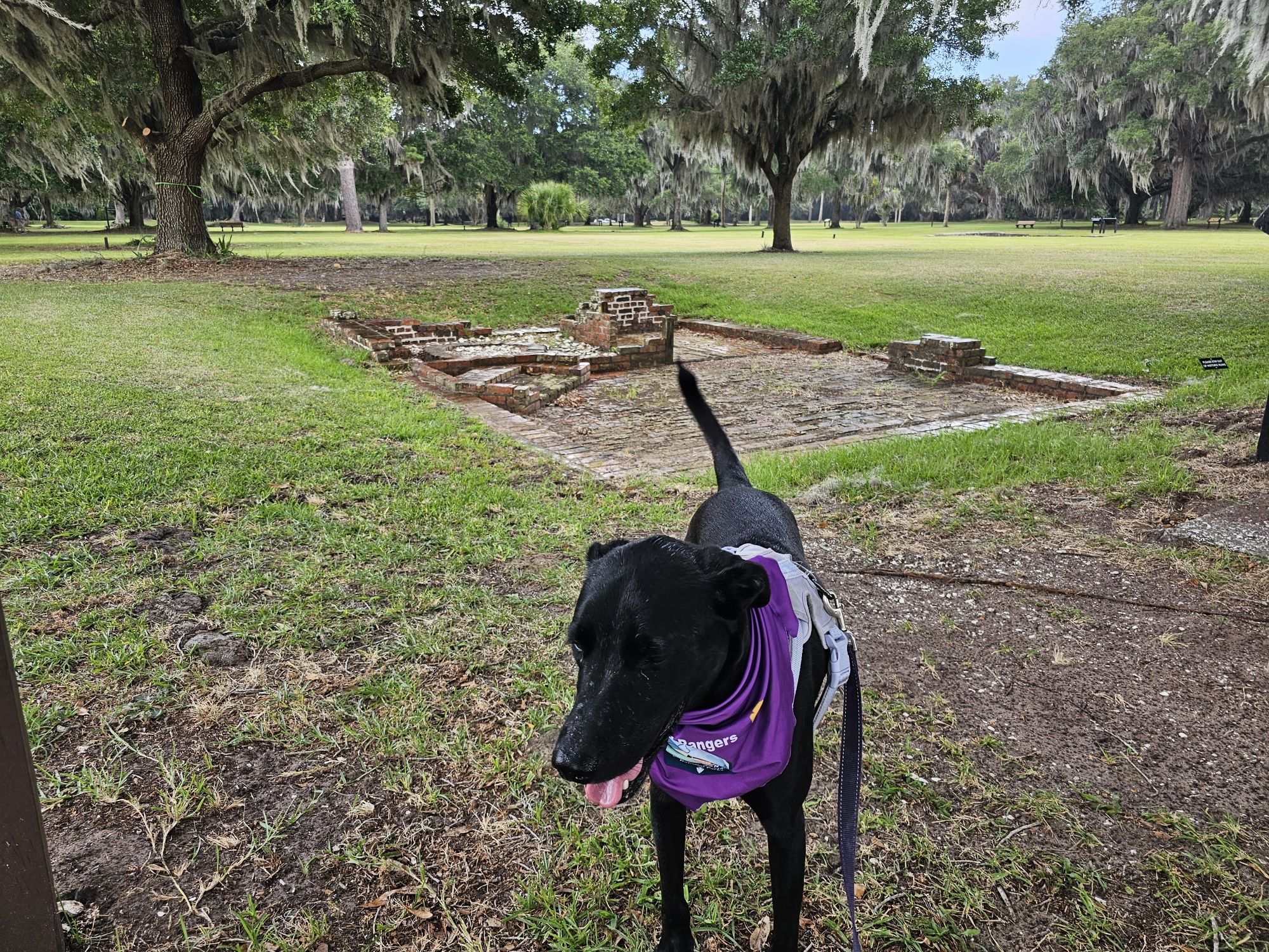
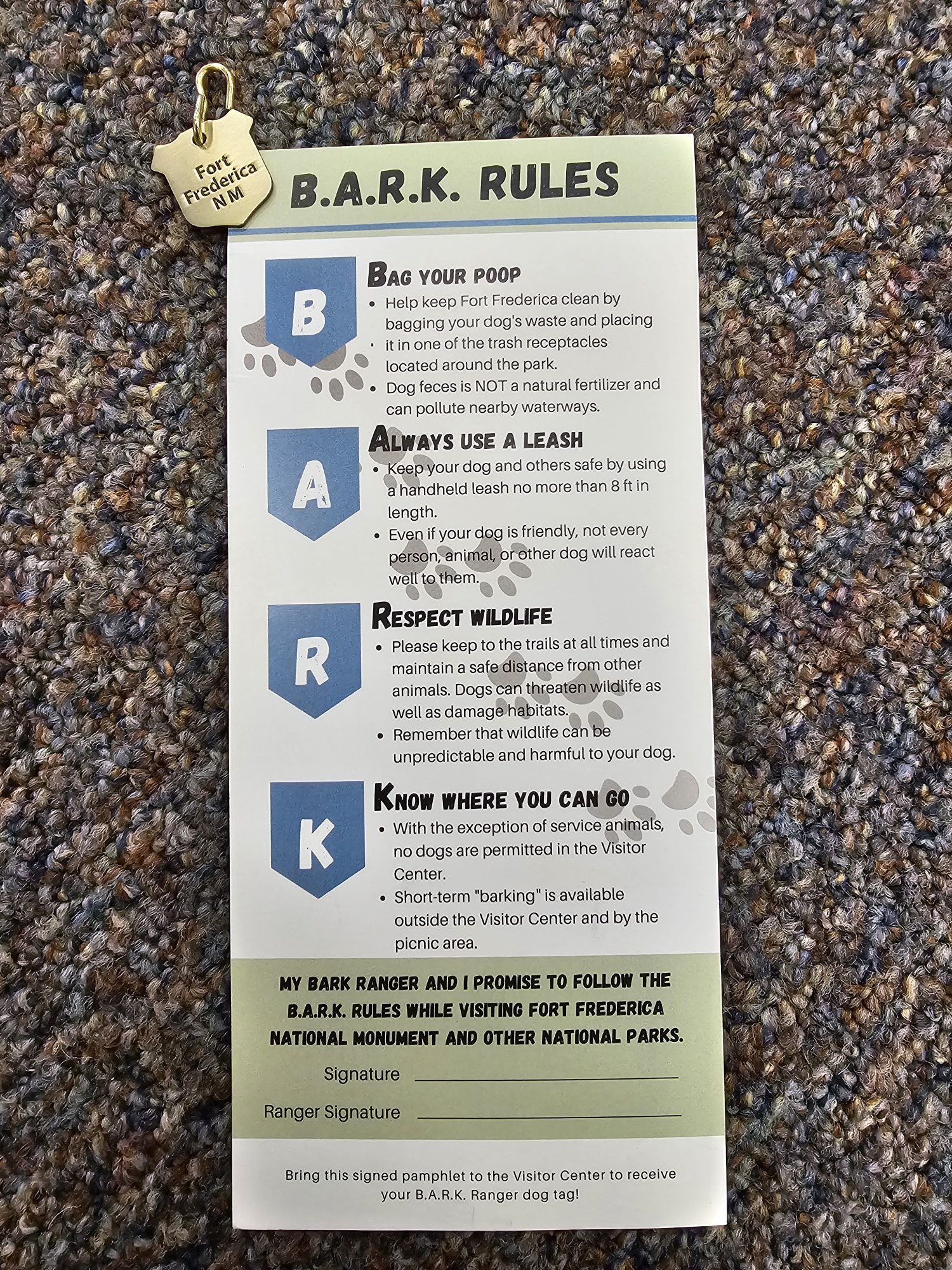
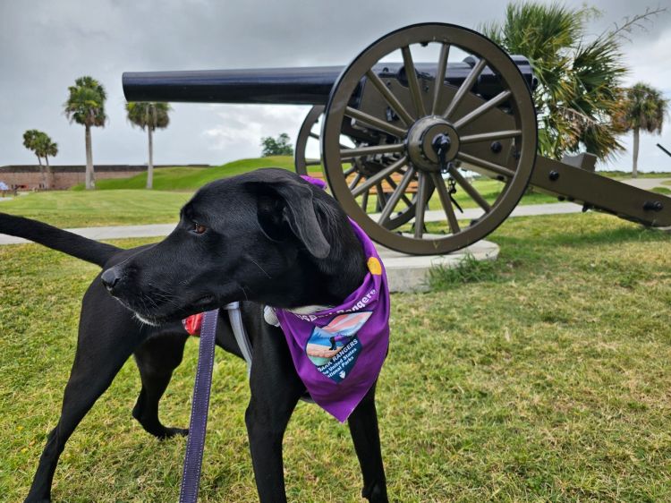
Fort Frederica: There is a site specific metal tag for purchase in the visitor center. The site used to have a program, but now it seems the tag for purchase is it. I got their old Bark Ranger activity card from Ft. Pulaski just to show it.


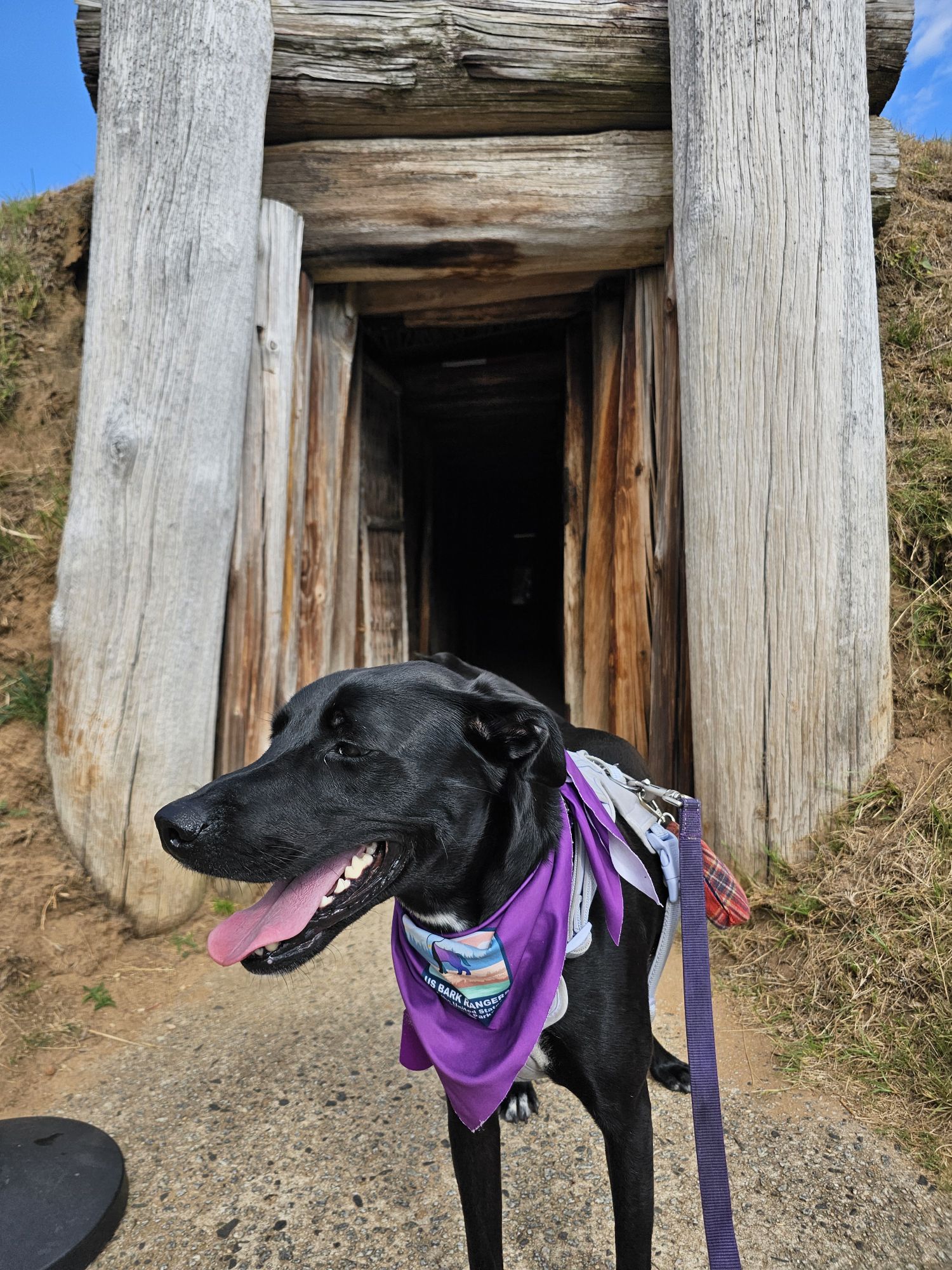
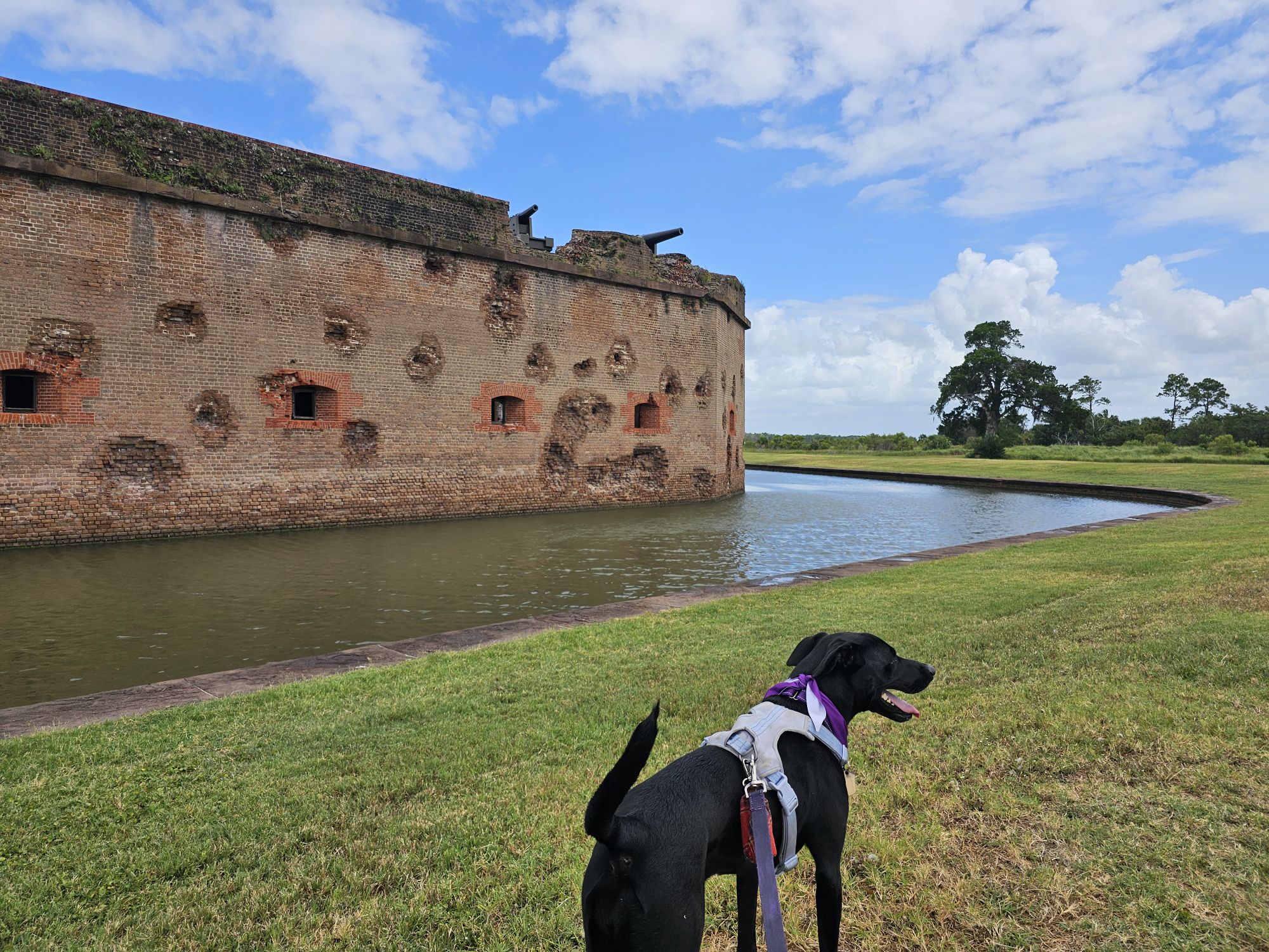
Fort Pulaski: There is a free site specific wooden tag available at this site. This is an awesome dog friendly NPS unit!

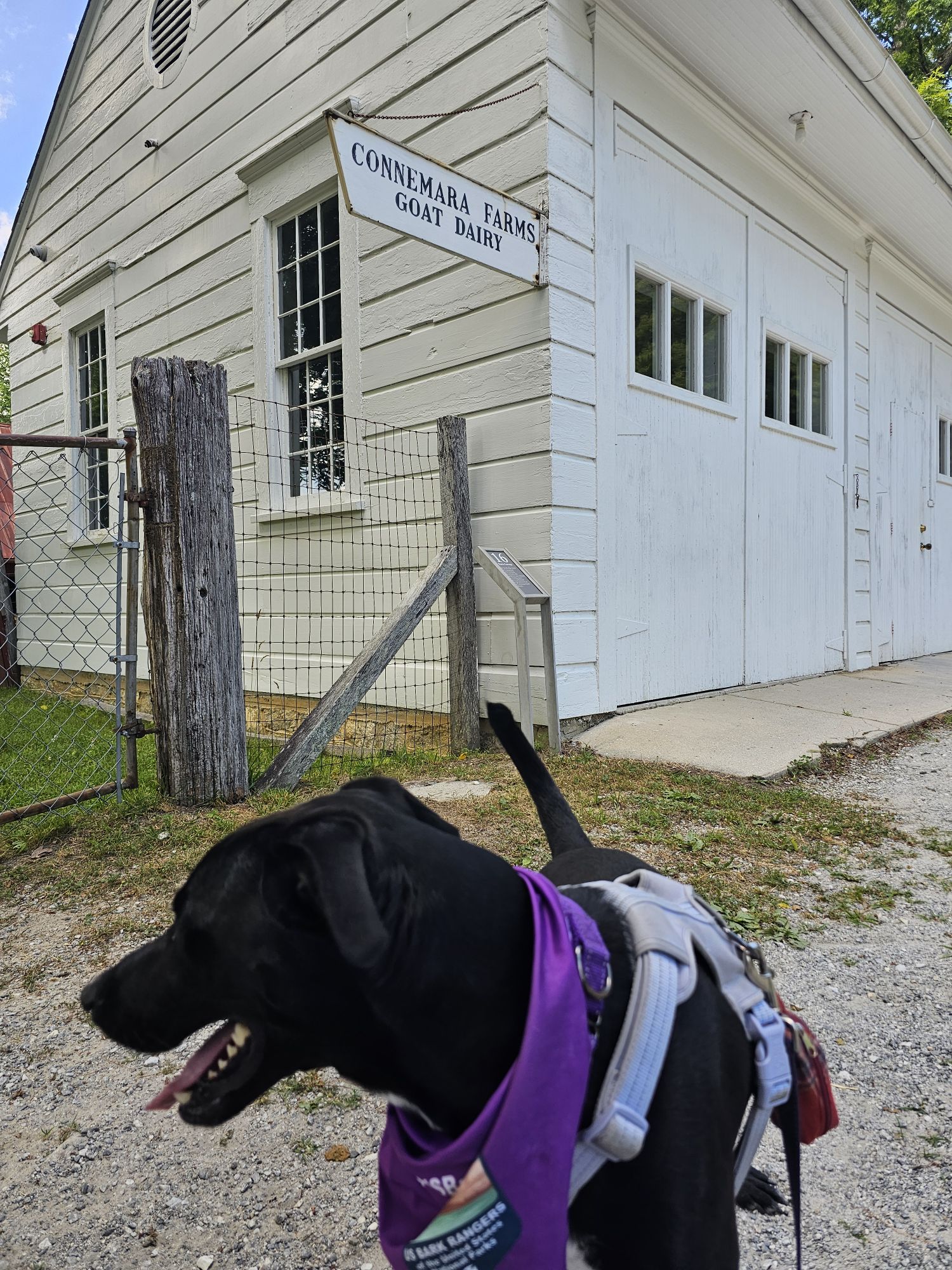
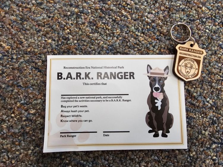
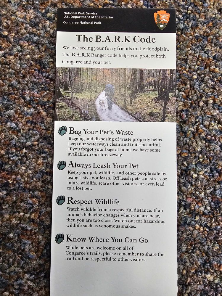
Congaree and Reconstruction Era: Congaree sells generic Bark Ranger items, but nothing site specific. I don’t have a tag pictured for that reason. The generic ones look just like the Frederica one above but with nothing on the back side. Reconstruction Era has free site specific wooden tags for both Bark Rangers and Meow Rangers, and a certificate.


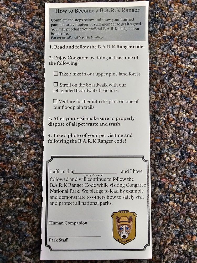
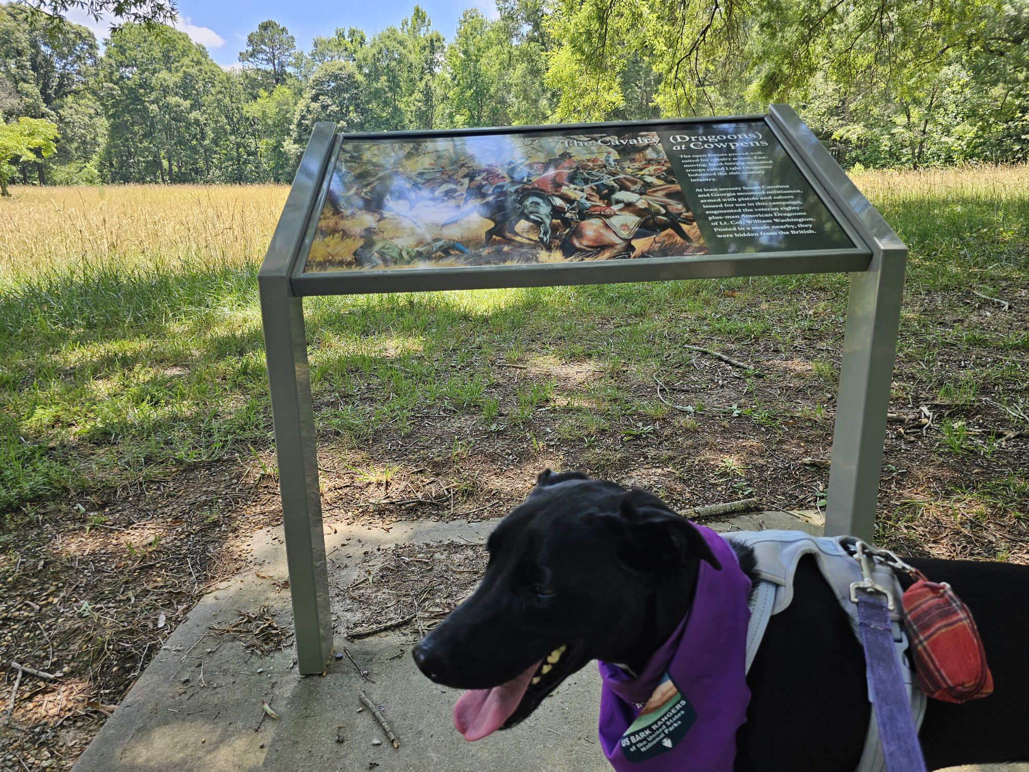
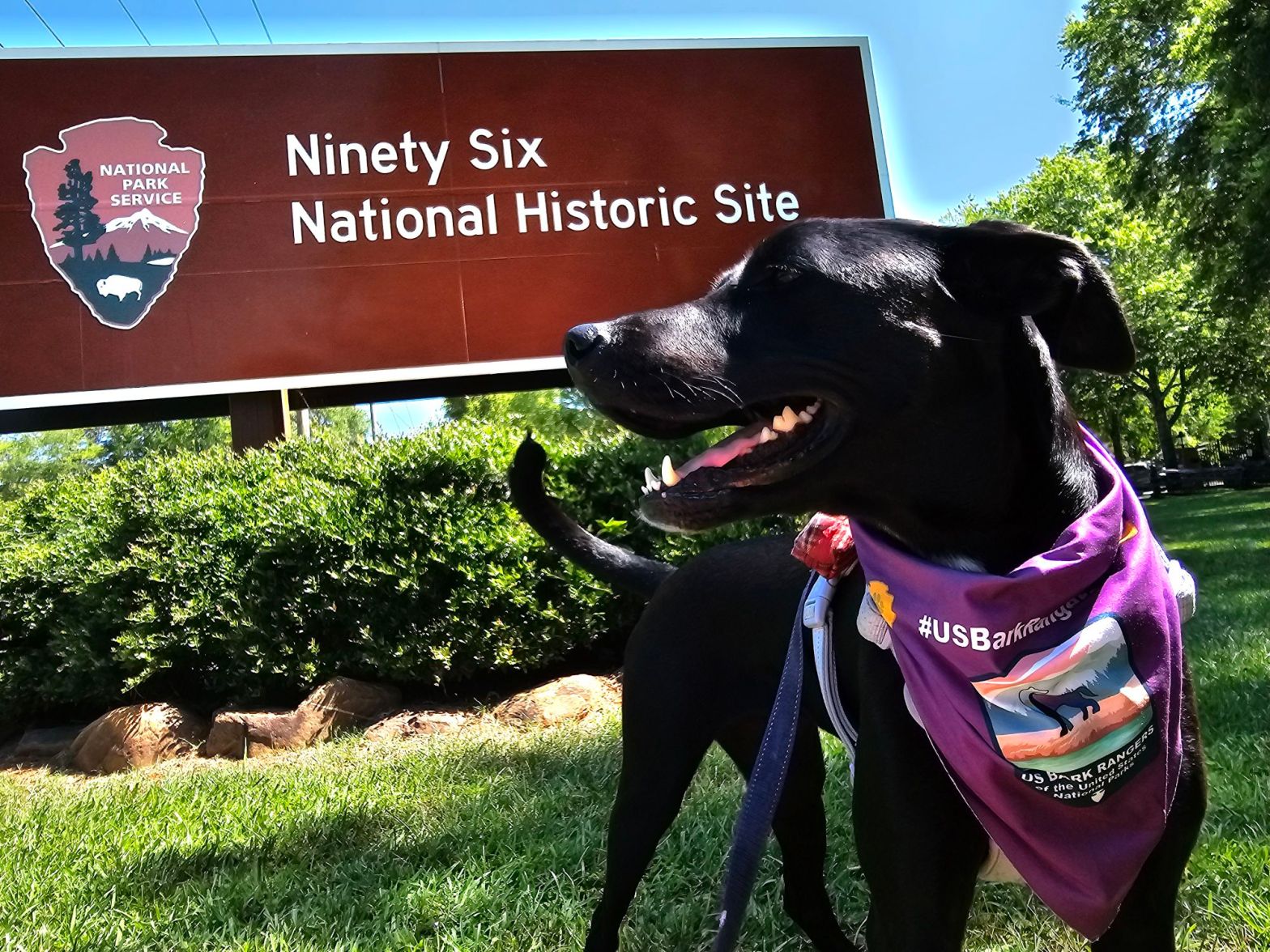
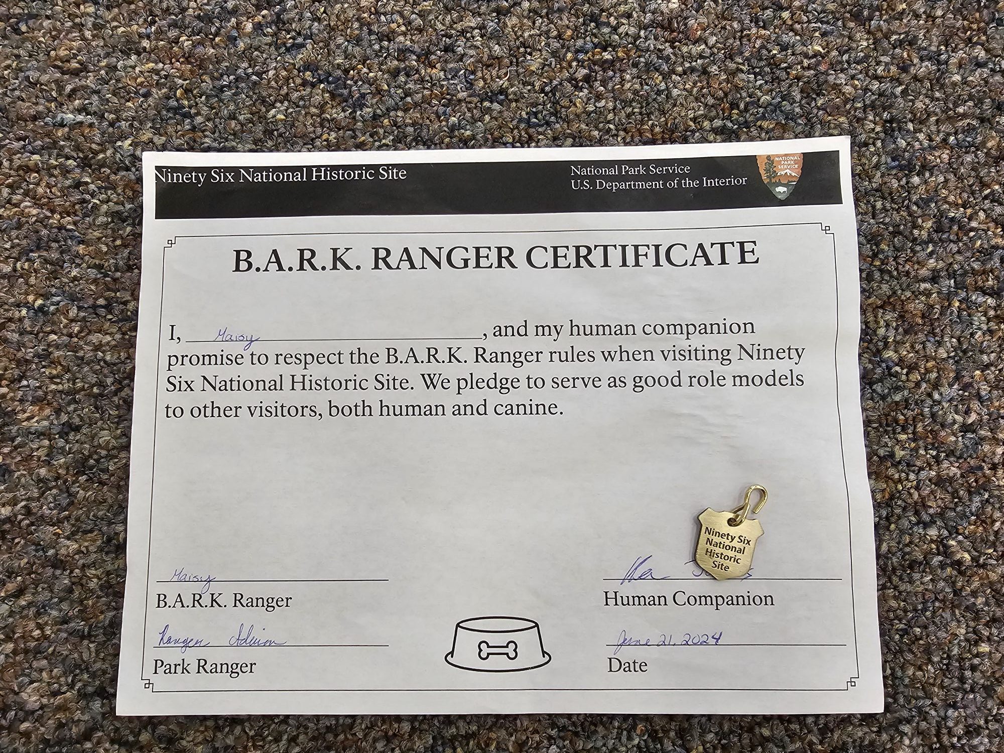
Ninety Six: There is a free site specific metal tag and certificate, plus a great informative booklet.


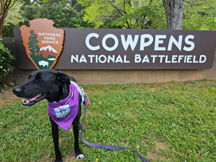
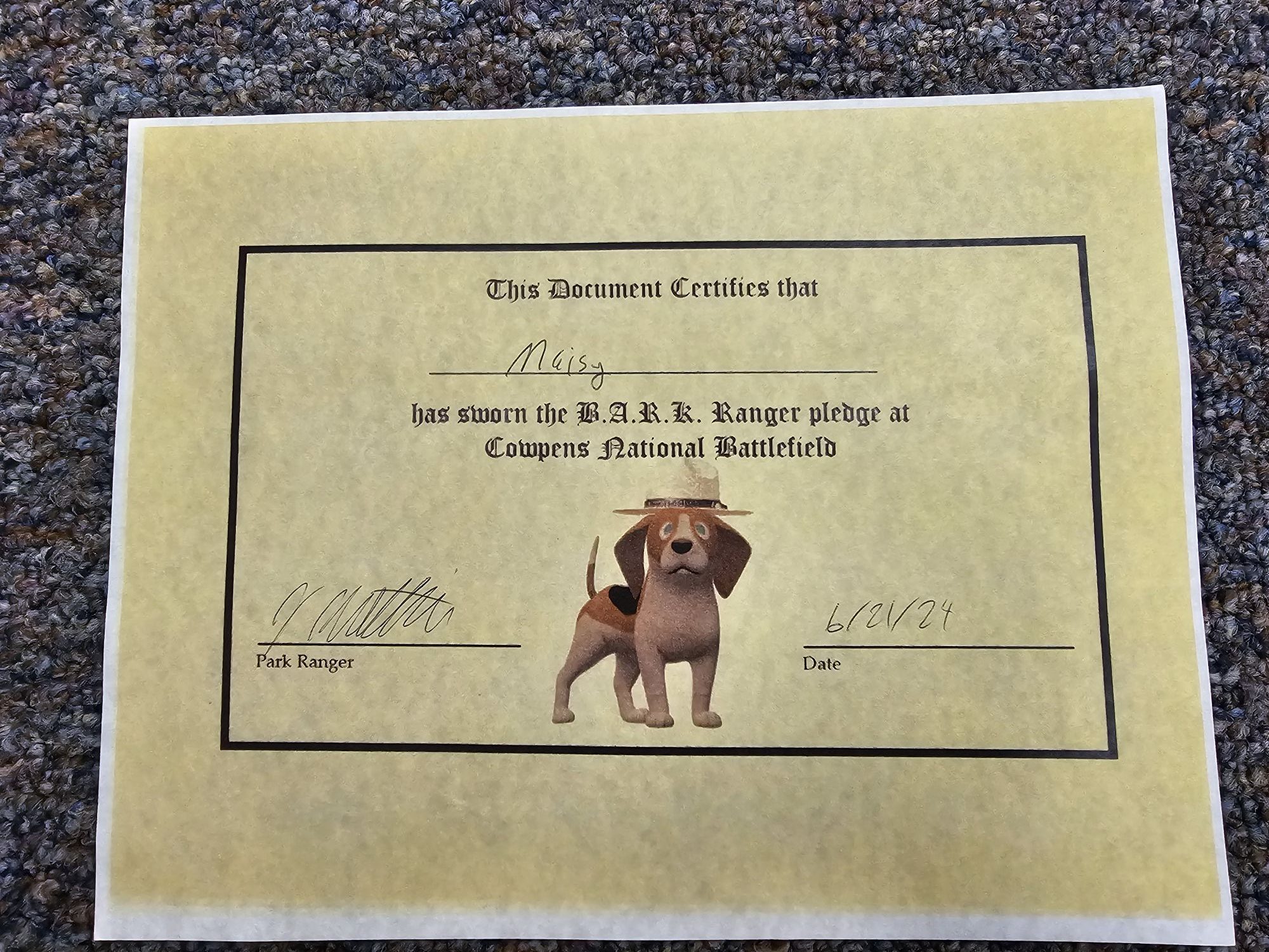
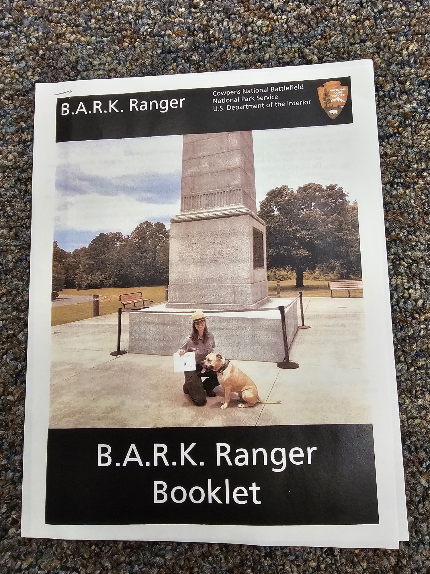
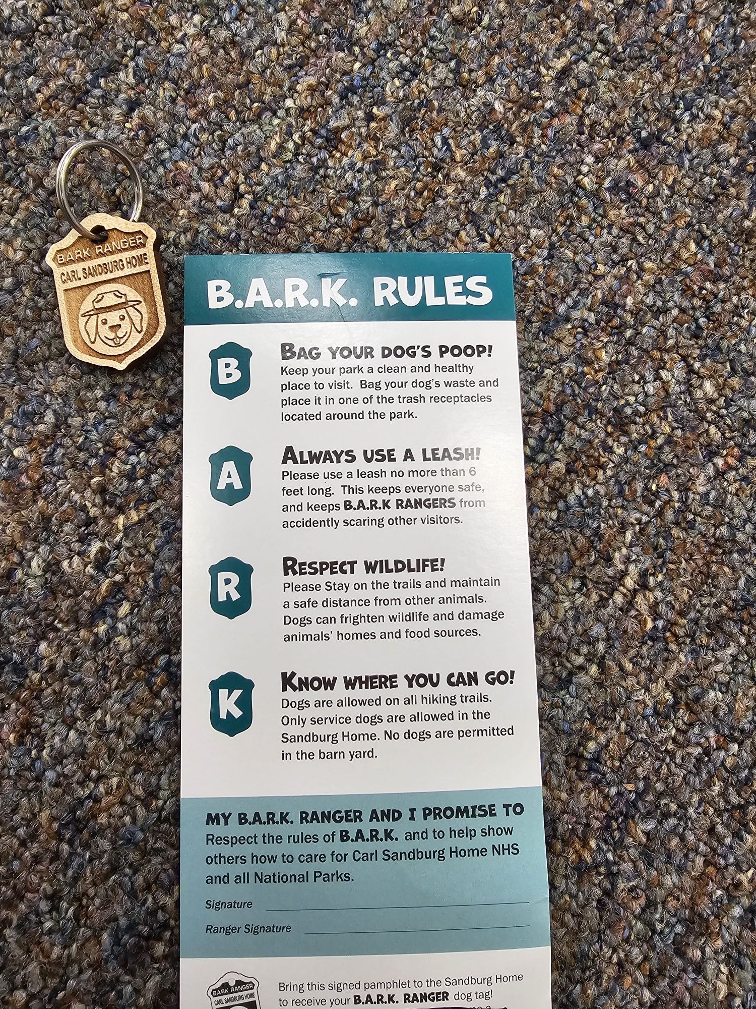
Cowpens and Carl Sandburg Home: Cowpens has a booklet and a really nice certificate, but only generic metal tags and stickers for sale; Carl Sandburg has a free site specific wooden tag and activity card.


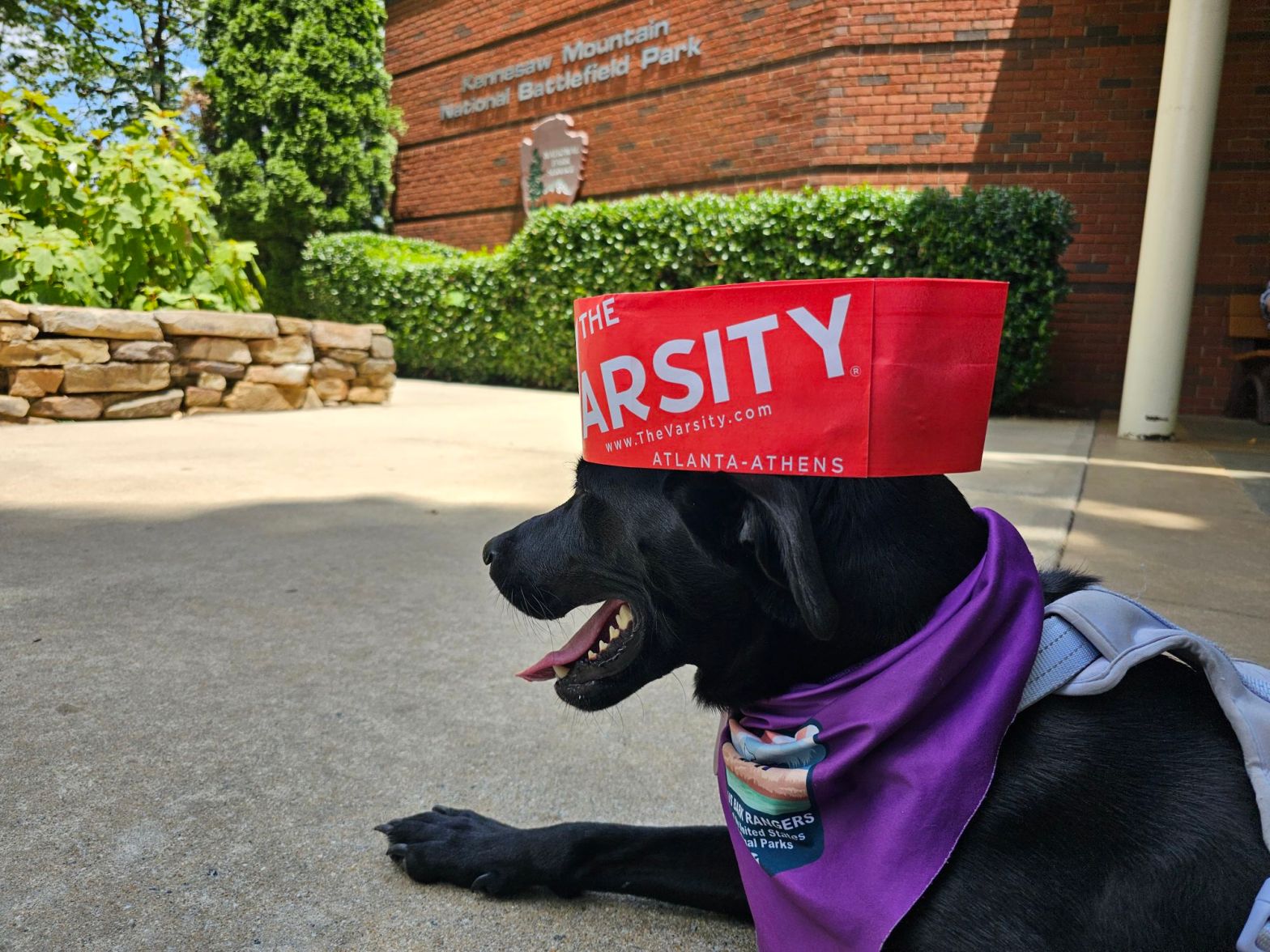
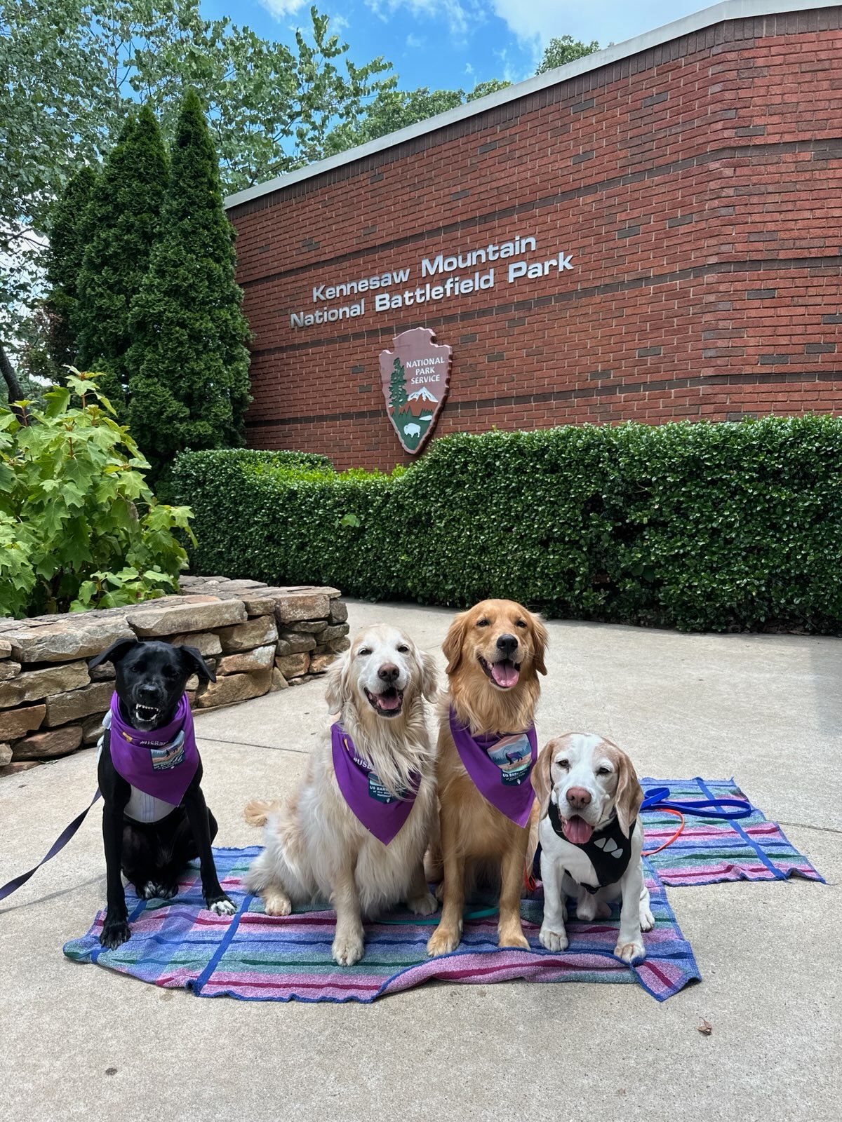
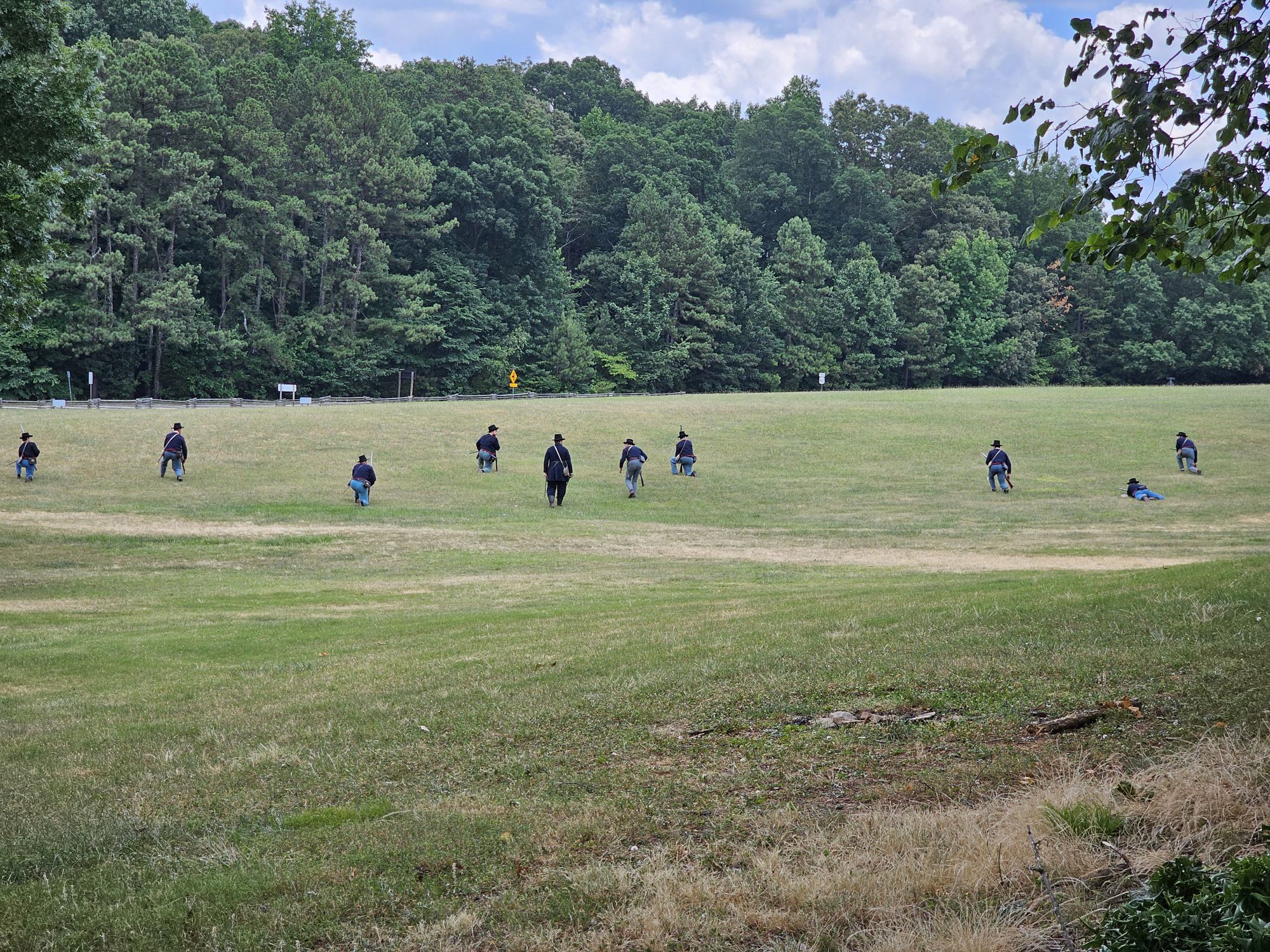
Arabia Mountain and Kennesaw National Battlefield: Arabia has a free site specific bandana; Kennesaw has nothing Bark Ranger, but is a dog friendly site.


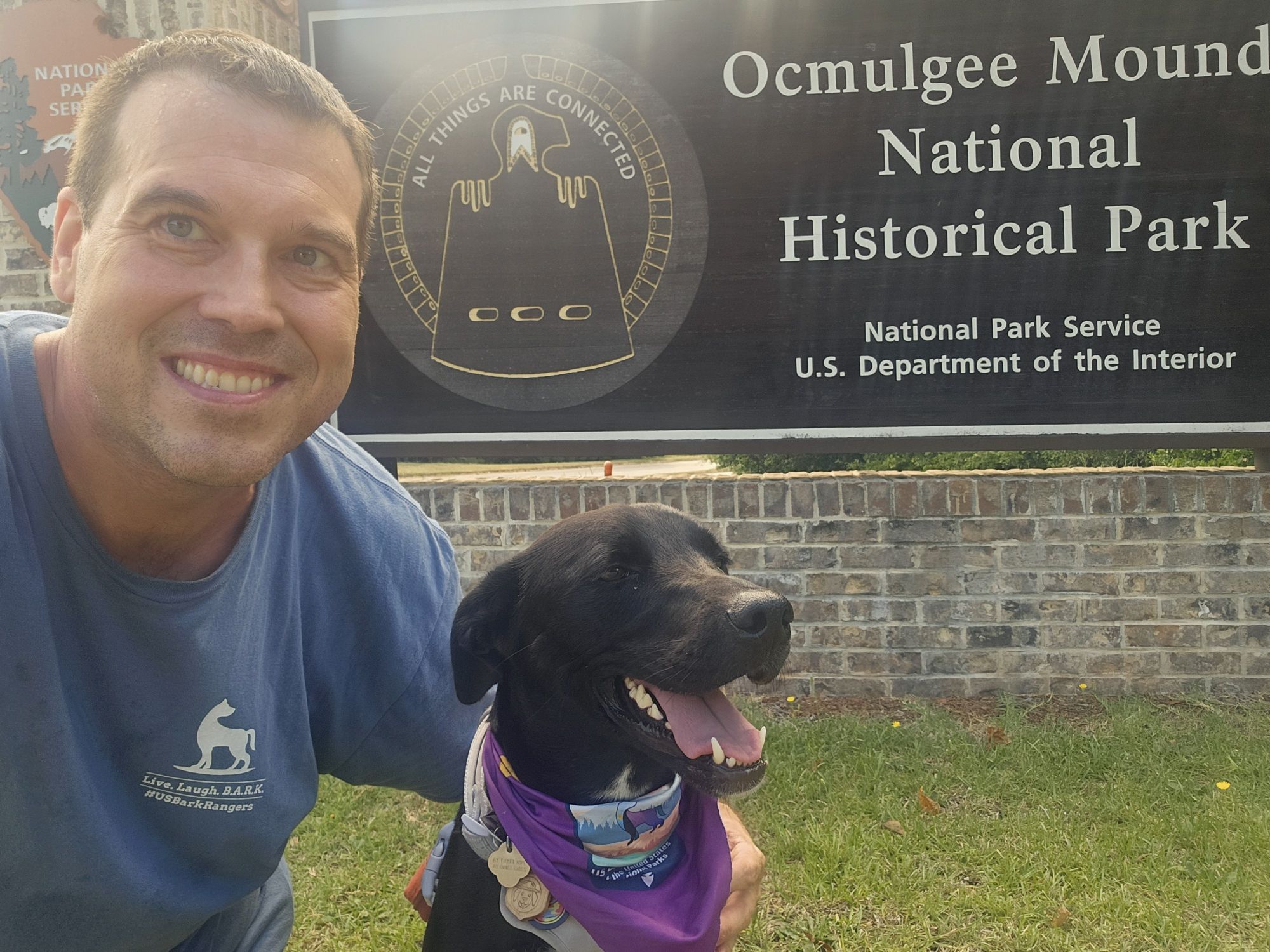
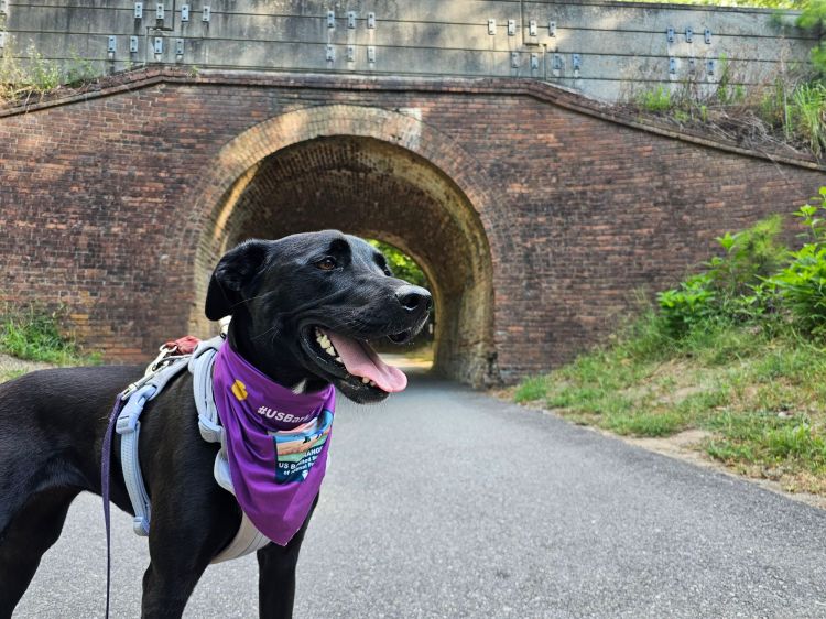
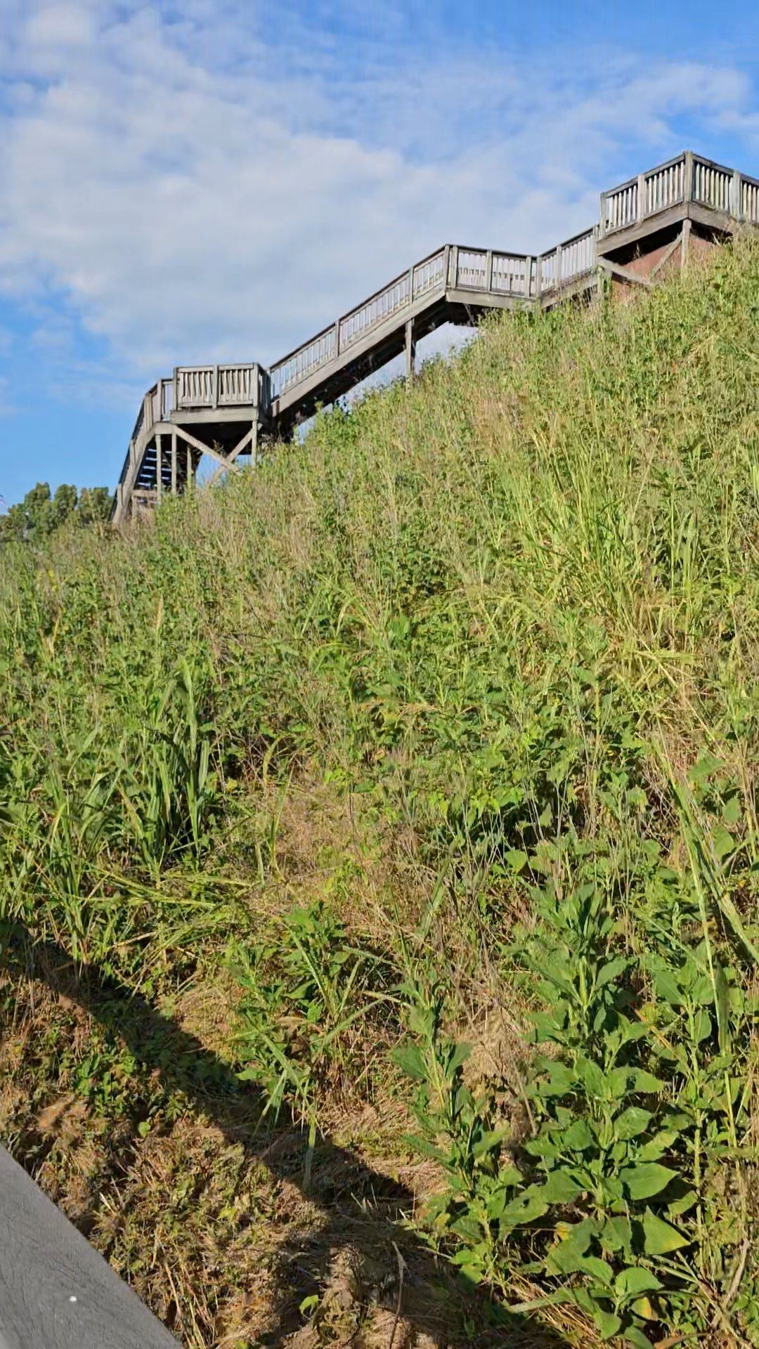
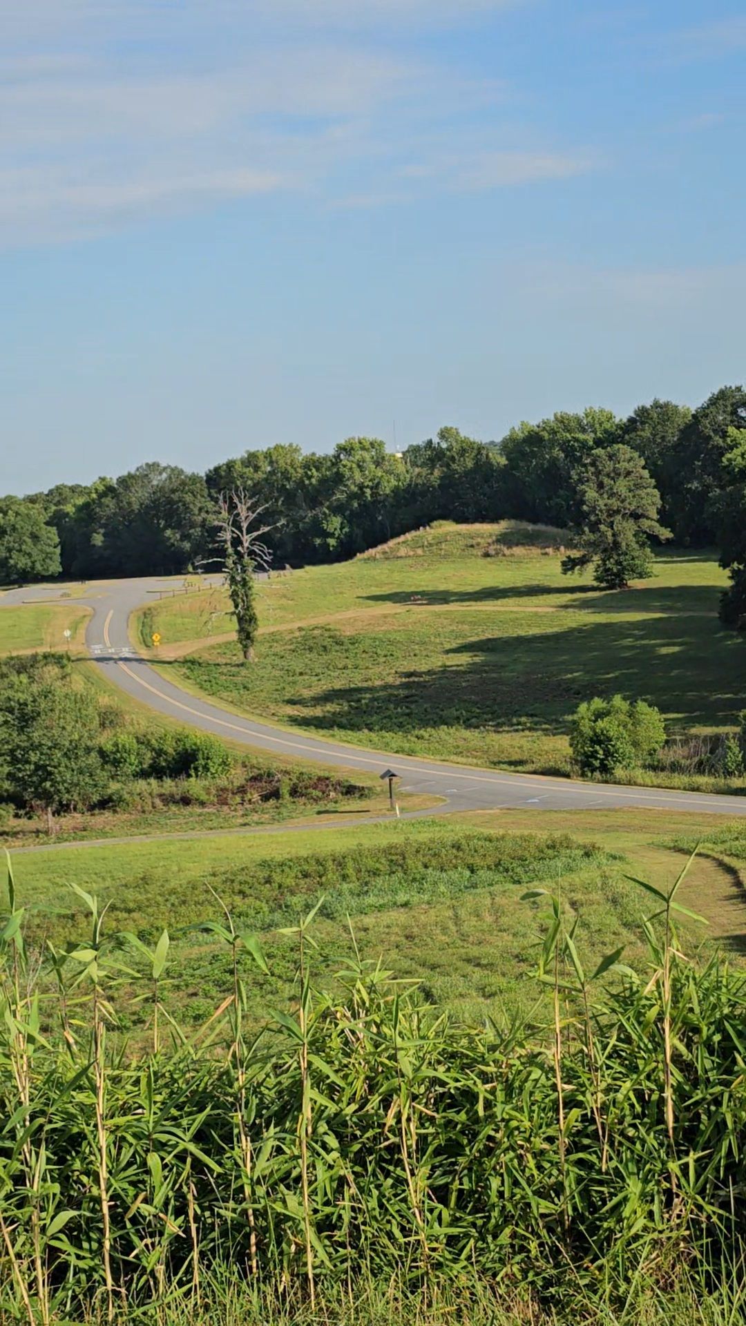
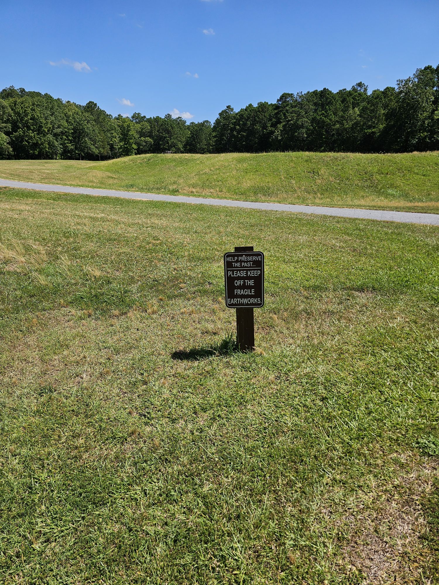
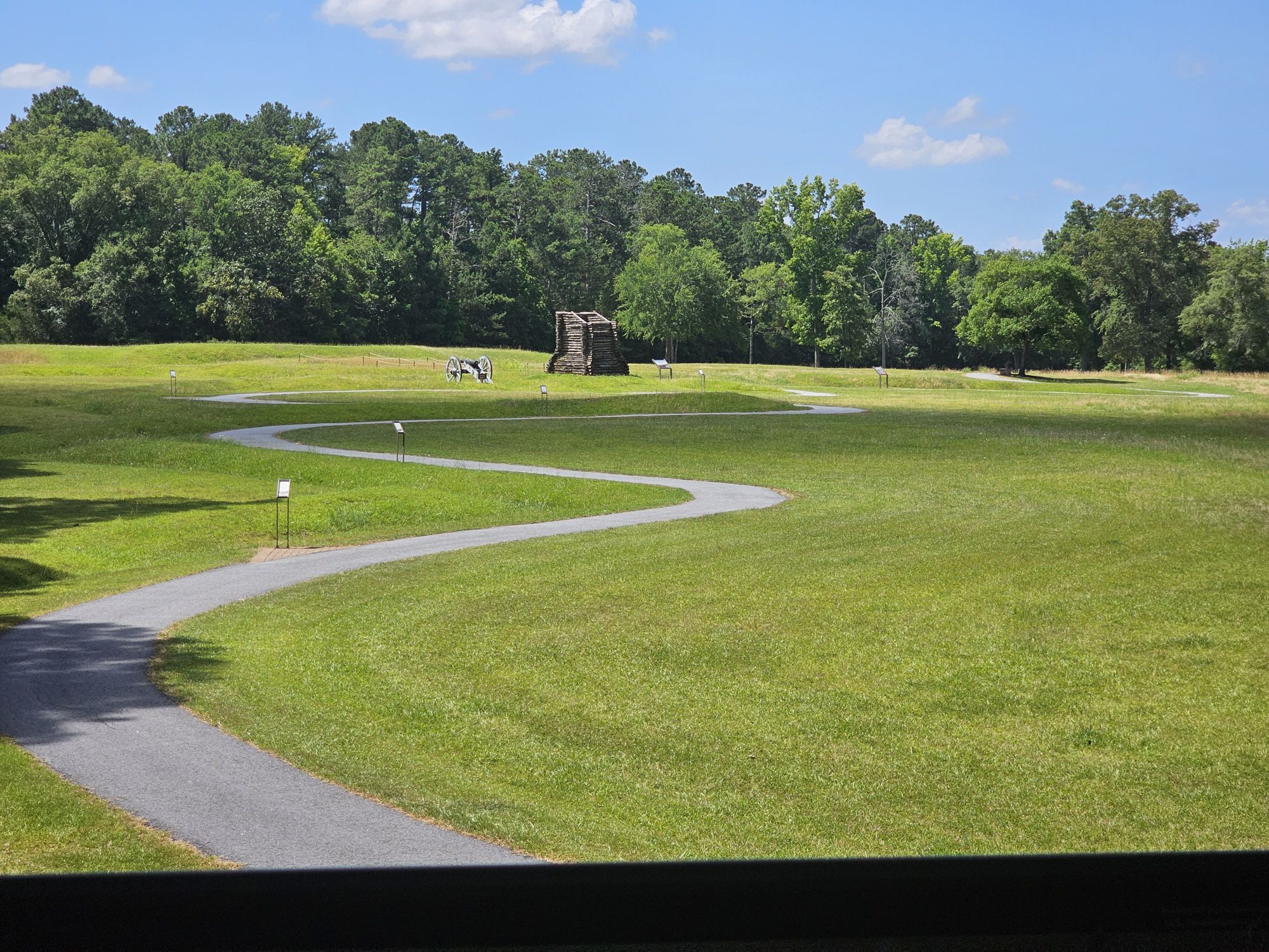
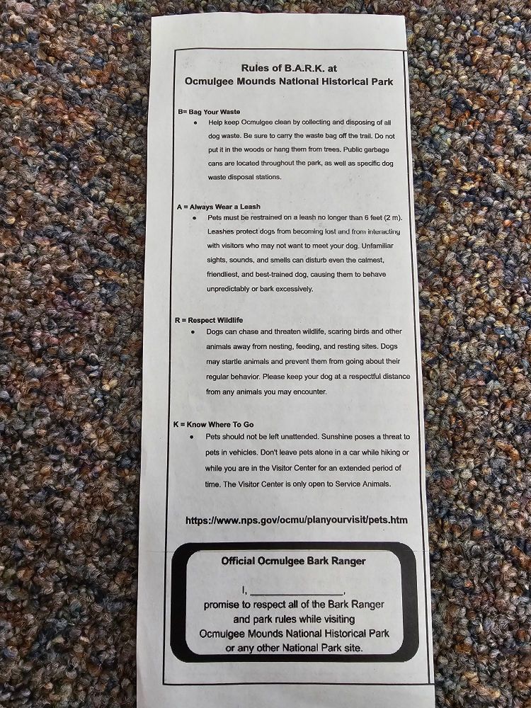
Ocmulgeee: Currently nothing Bark Ranger is available here. I am including an old activity card they gave to me. The site used to have a Bark Ranger program but currently do not. Its a great, dog friendly park and hopefully they restart!


Thanks for reading about our great Bark Ranger trip! Maisy and I are looking forward to more great #USBarkRanger adventures and we hope to see you on our Facebook group sharing your Bark Ranger adventures as well!