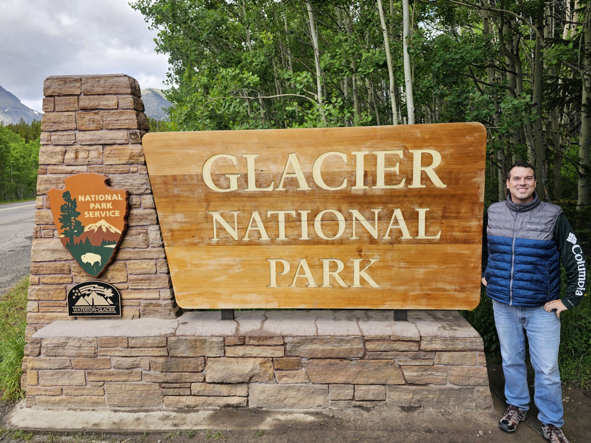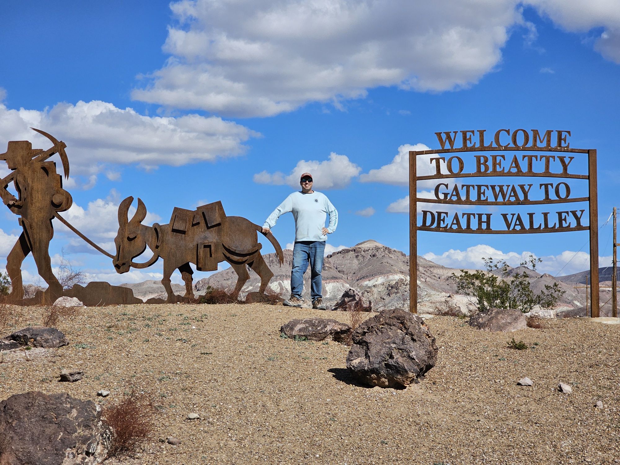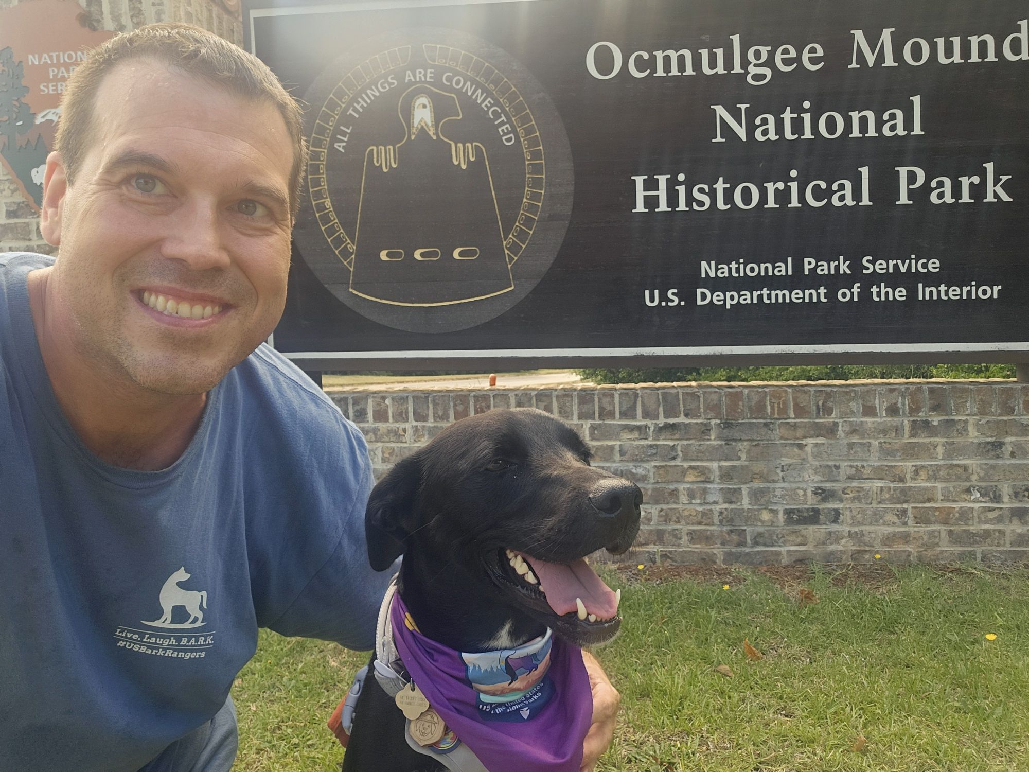
National Park Number: 42
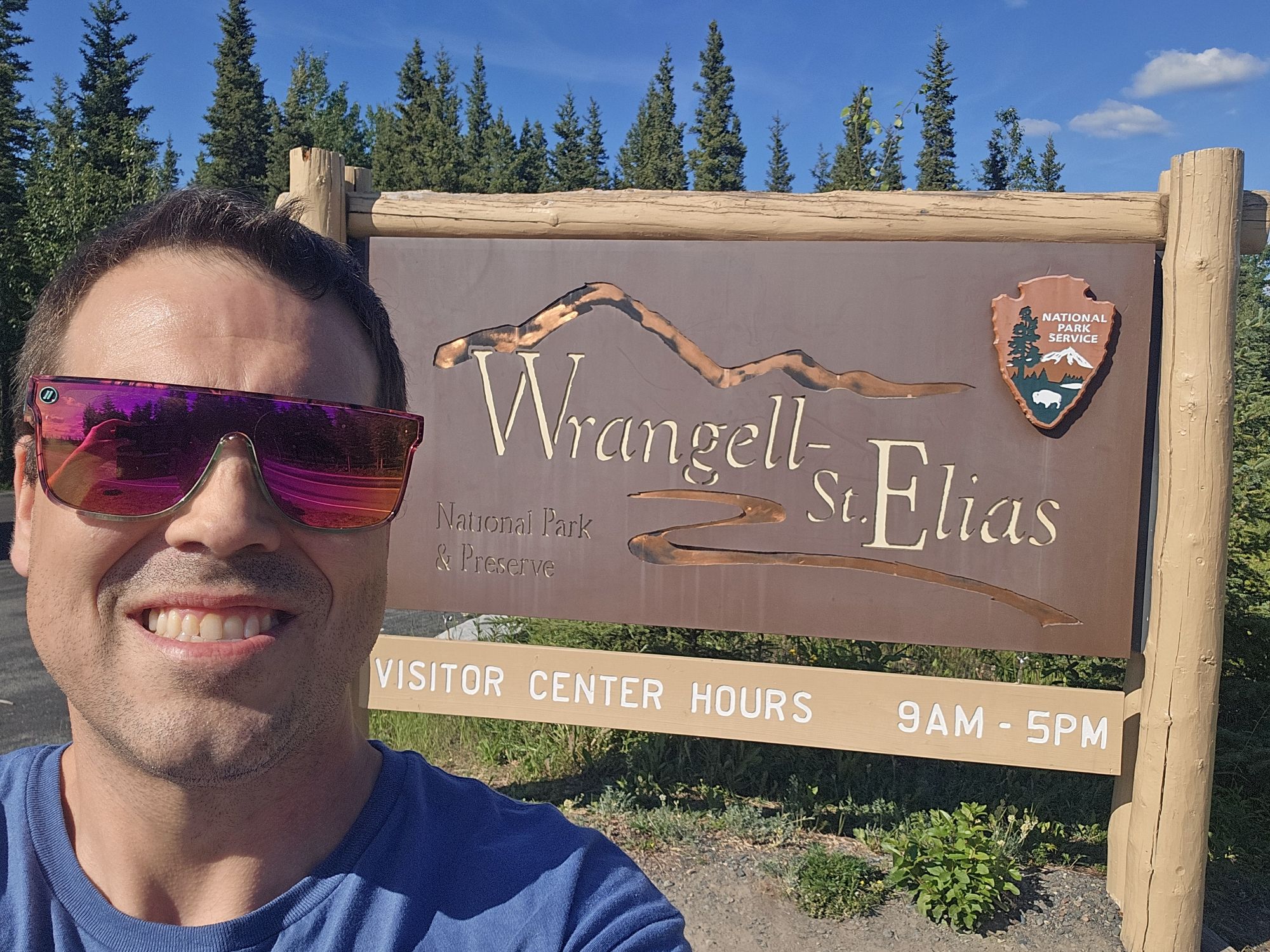
Hey there Adventurers! 2024 was the year of some big parks which culminated with a solo visit to the largest National Park in the United States: Alaska’s remote and rugged Wrangell-St. Elias National Park. I am going to start by saying this is my new favorite park: 10 out of 10 would recommend!
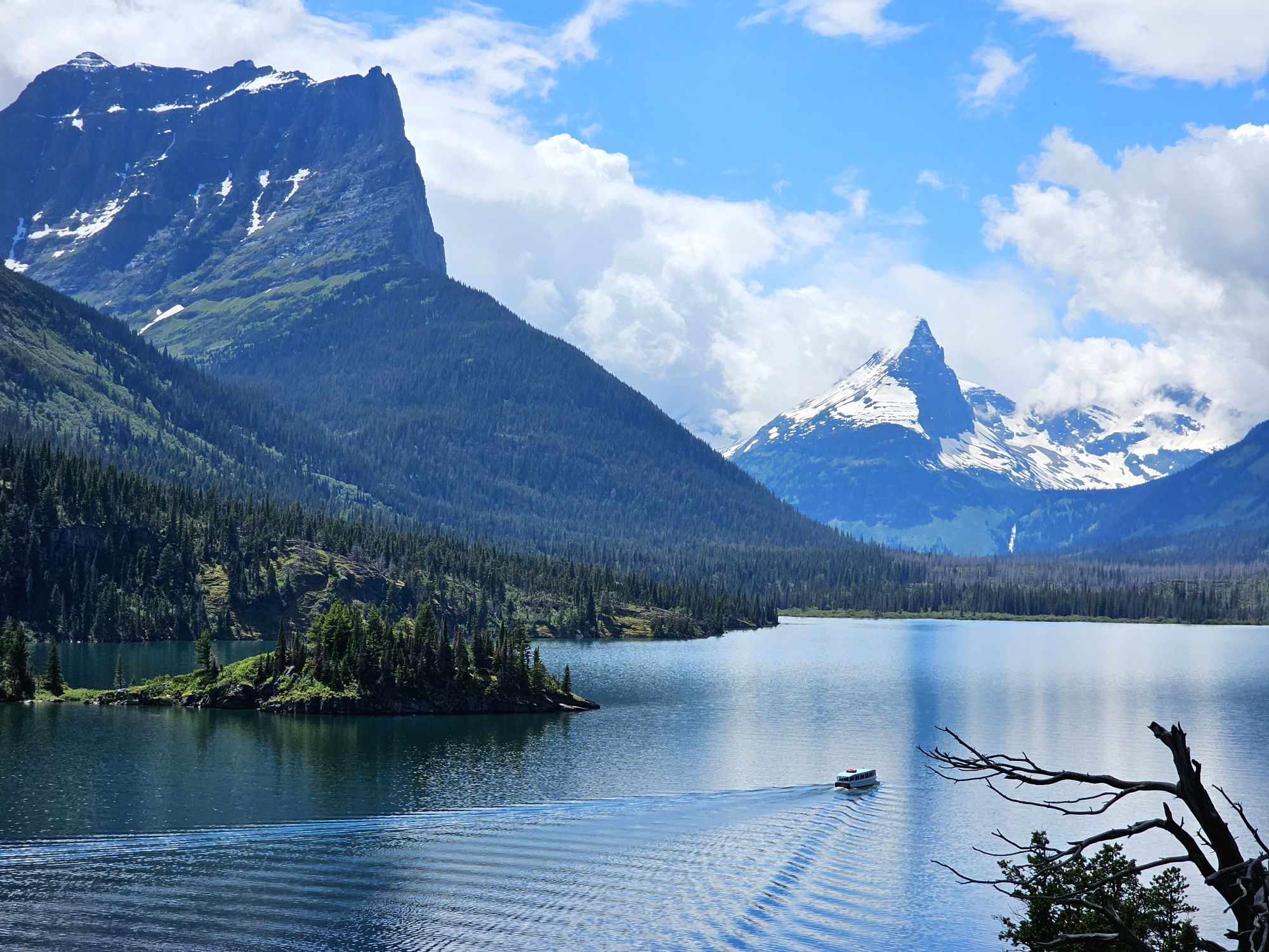
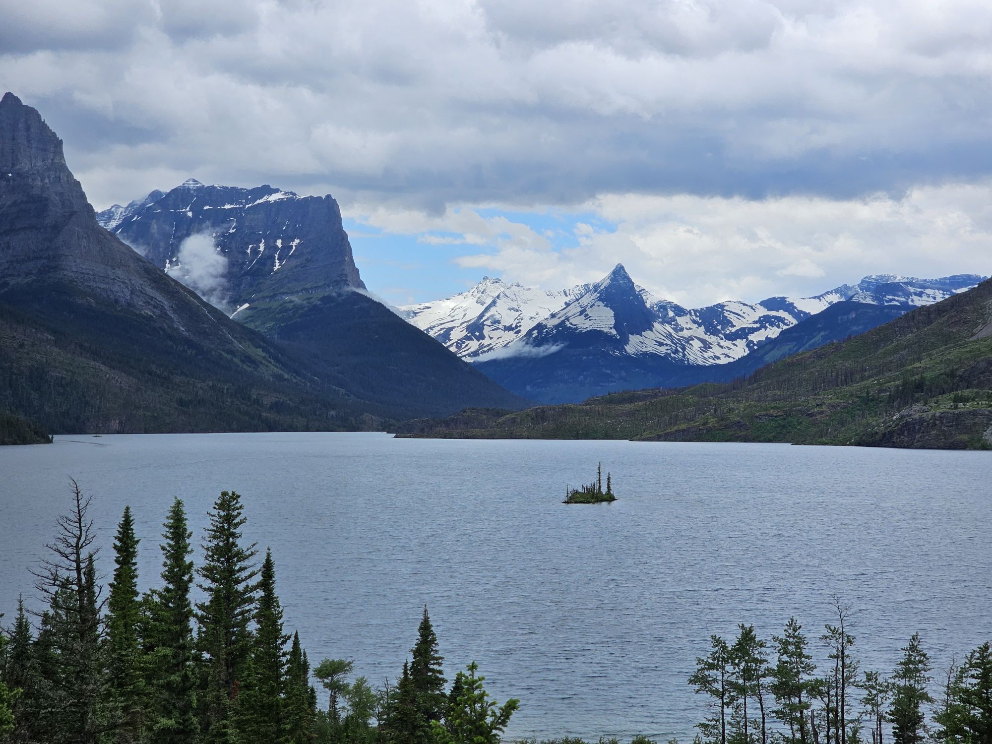
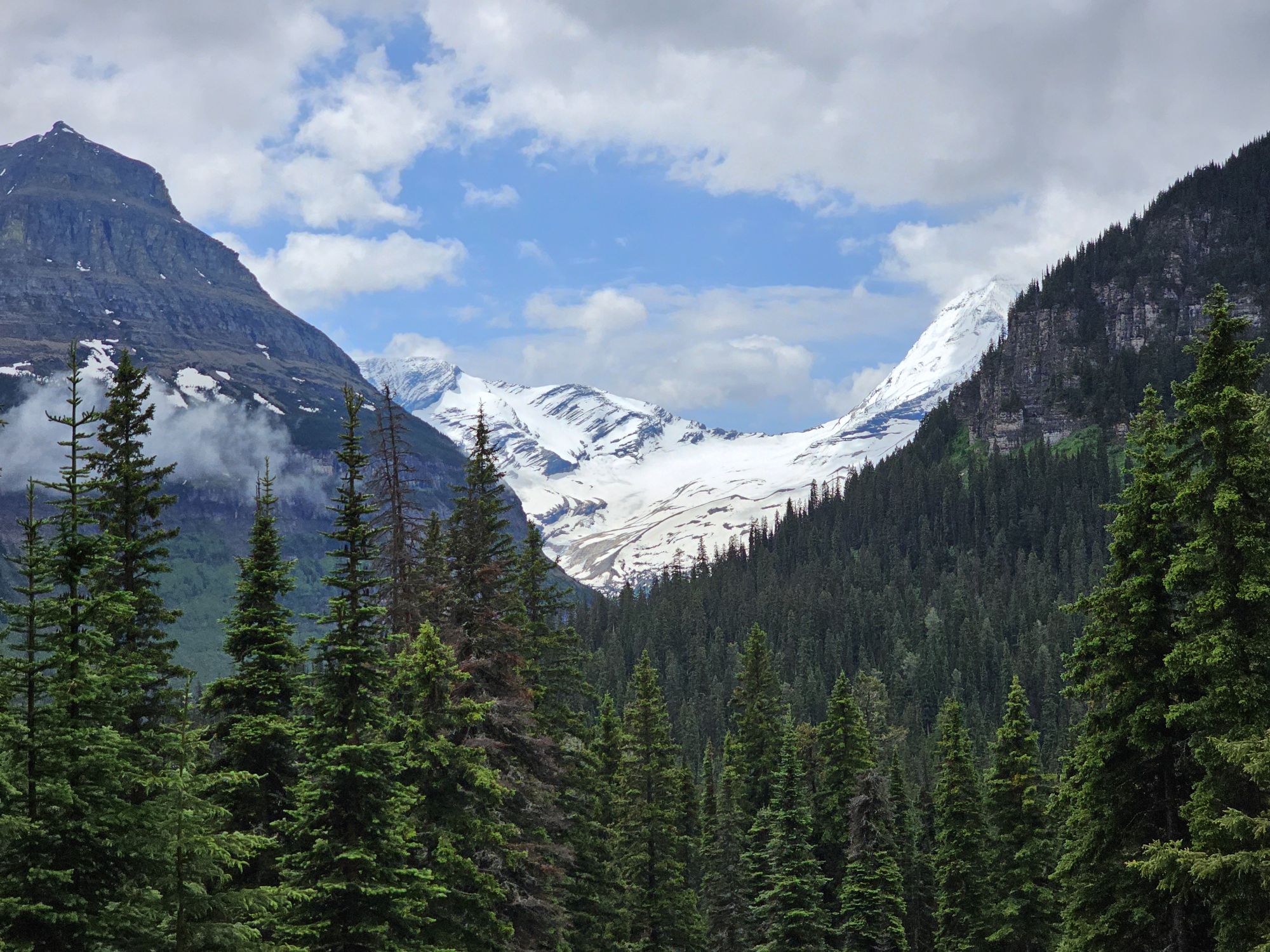
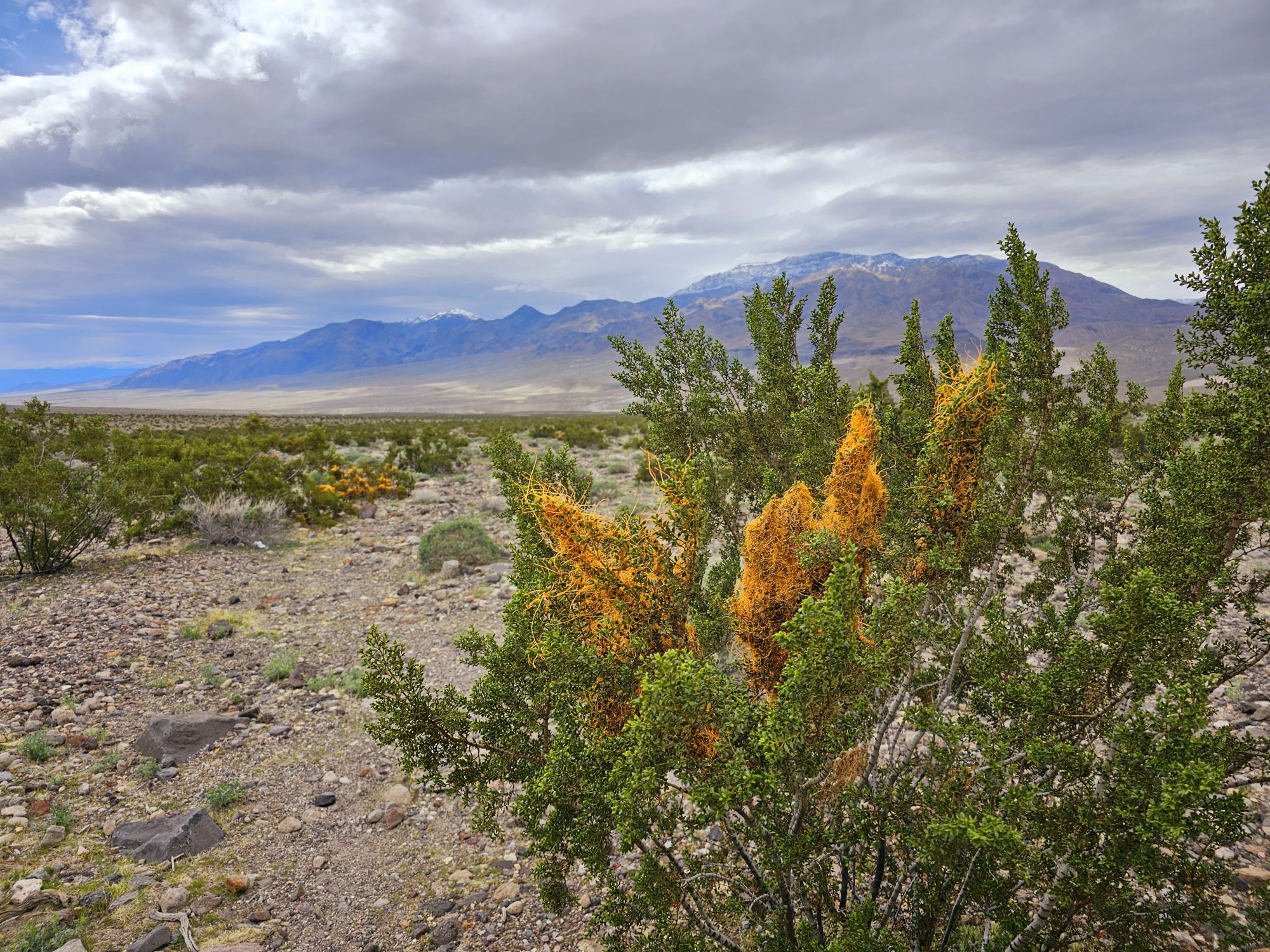
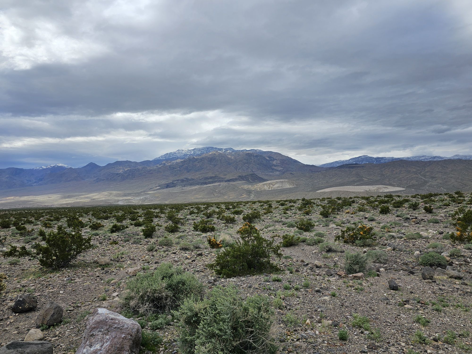
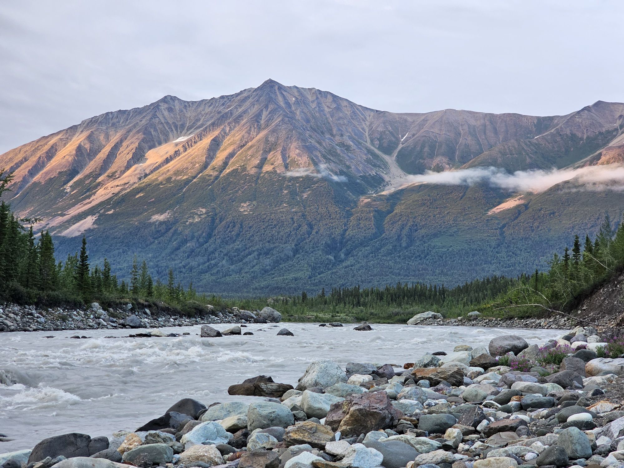
Wrangell-St. Elias is a massive, but remote park. It is named after the two respective mountain ranges that straddle the US/Canadian Border. Mt. St. Elias is the third highest mountain in North America and second in both the US and Canada, as it sits on the boundary between the two countries. Flight-seeing is the way most visitors see that mountain, but I have already done a flight-seeing tour of Denali so I chose to not do that. This national park is fully larger than the entire country of Switzerland, Yellowstone, and Yosemite National Parks COMBINED. Wrangell-St. Elias is also almost mostly unreachable and untouched. But just almost. Many people consider at stop at the visitor center in Copper Center as sufficient. Off of the extremely scenic Richardson Highway on the far eastern side of the state, with views of the landscape within the park boundaries, the visitor center in Copper Center is on the way to Valdez and where many people stake claim to a visit. Another way many people claim a visit is via cruise ship in a small area called Yakutat. This area is actually on the Alaskan panhandle and relatively close to Glacier Bay NP. However, there is a road in the interior off of the Richardson Highway for those up to the challenge!
I made the long trip from Tampa and arrived in Anchorage at an inconvenient time, but a cab got me to my nearby Airbnb. The following morning, the very, ahem, eccentric owner of A-1 Car Rental picked me up. After a stop at a garage sale (I did say he was eccentric!) we got to his … lot?…and I got a 4WD. Due to some poor reviews and his unwillingness to take any money deposits, I contacted him a few times over the months just to make sure everything was good. He always talked my ear off, but seemed a legit character. Anyway, after he ended up asking for a decent amount of money LESS than he had quoted me months ago, we still had to go to another spot to get a tire repair kit and a jack. Soooo…after all of this, my intended 9 or 10 AM start on the 6 to 7 hour drive didn’t get started until closer to noon.
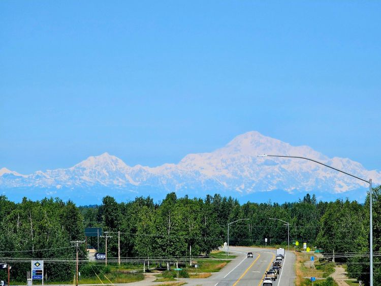
As I departed Anchorage, I noticed crystal clear skies to the north. I had my Milepost book with me and got a wild hair up my ass…so I pulled over and looked up where the first big viewpoint of Denali could be found. The great news was it really wasn’t that far, maybe an hour out of the way to Willow, 2 hours round trip. So I did it! And, I got one of those spectacular crystal clear shots of Denali that doesn’t even look as if you are seeing a mountain, more a ghost than anything! The viewpoint is still ONE HUNDRED MILES away from the mountain! Anyway, the bad news was that after trekking the 2 hours out of my way, I still had nearly 7 hours to go to McCarthy! I was driving the Glenn Highway, which has many scenic stops but those had to wait until the return trip.
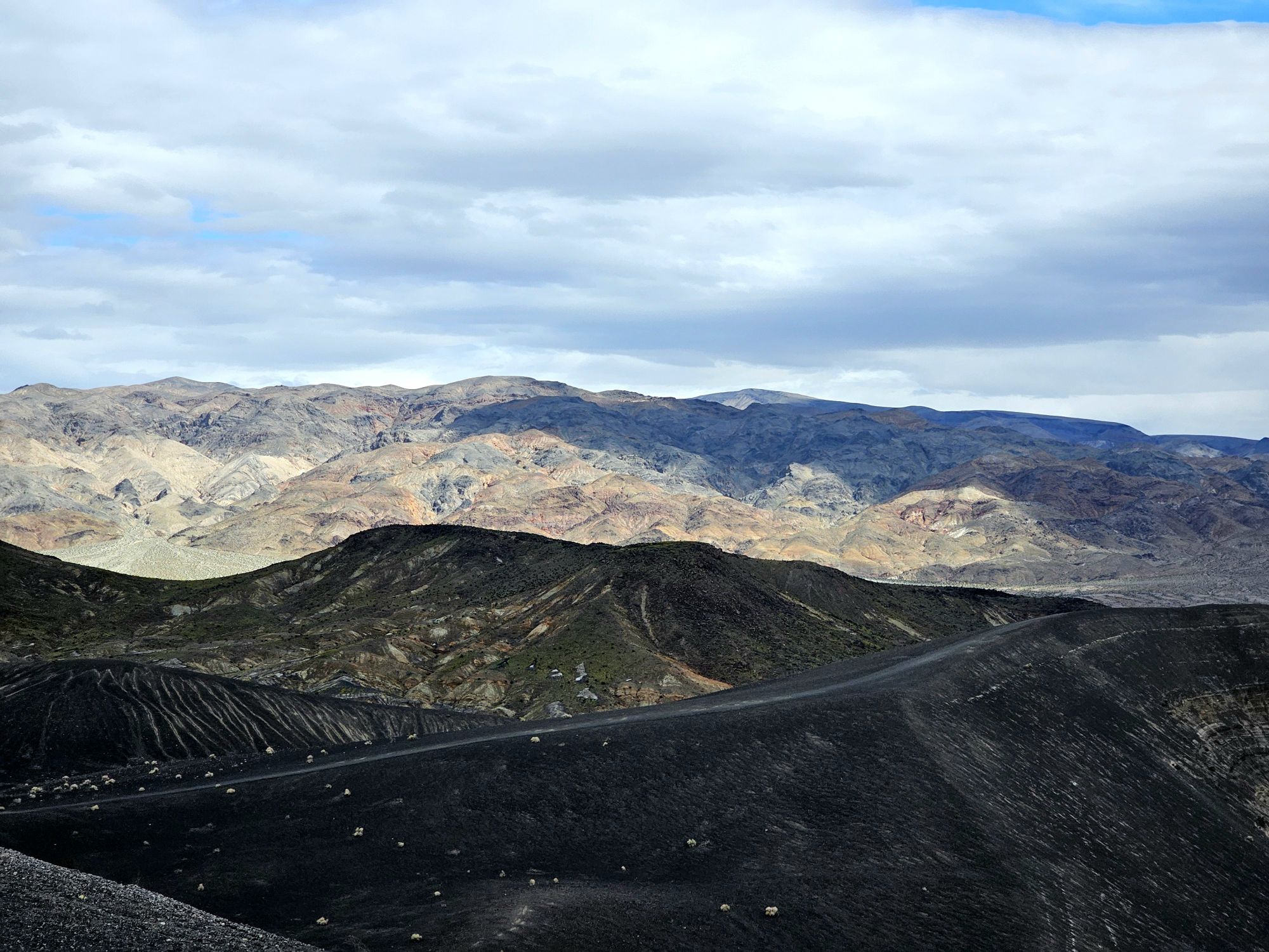
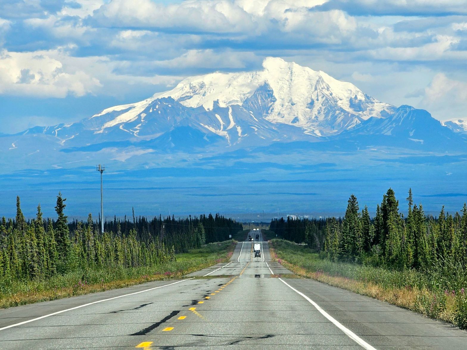
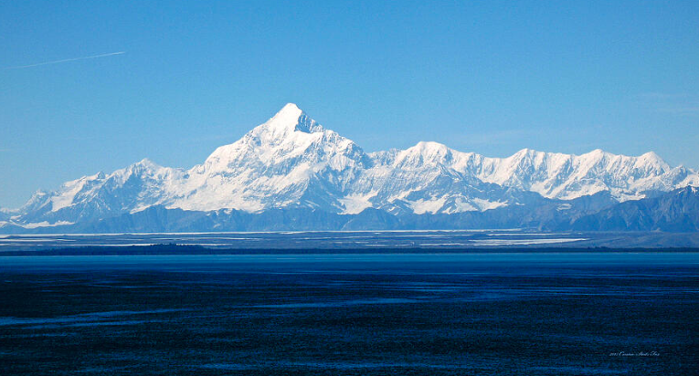
The Glenn Highway is spectacular, boring, and then amazing, depending on the weather. I was making a beeline to McCarthy, so most of my sightseeing was on on the way back (read on) but with the clear skies, there were amazing views of the famous Mt. Drum toward the end of the highway. The picture I took is the same as the ones you have probably seen before, but it is mine so enjoy! Mt. Drum is a dormant stratovolcano within the Wrangell-St.Elias National Park boundaries and is the end, or beginning, of the Wrangell Mountains and rises a dramatic 12,000 feet in front of you. The traffic is pretty sparse so I was able to snag the iconic picture on the road!

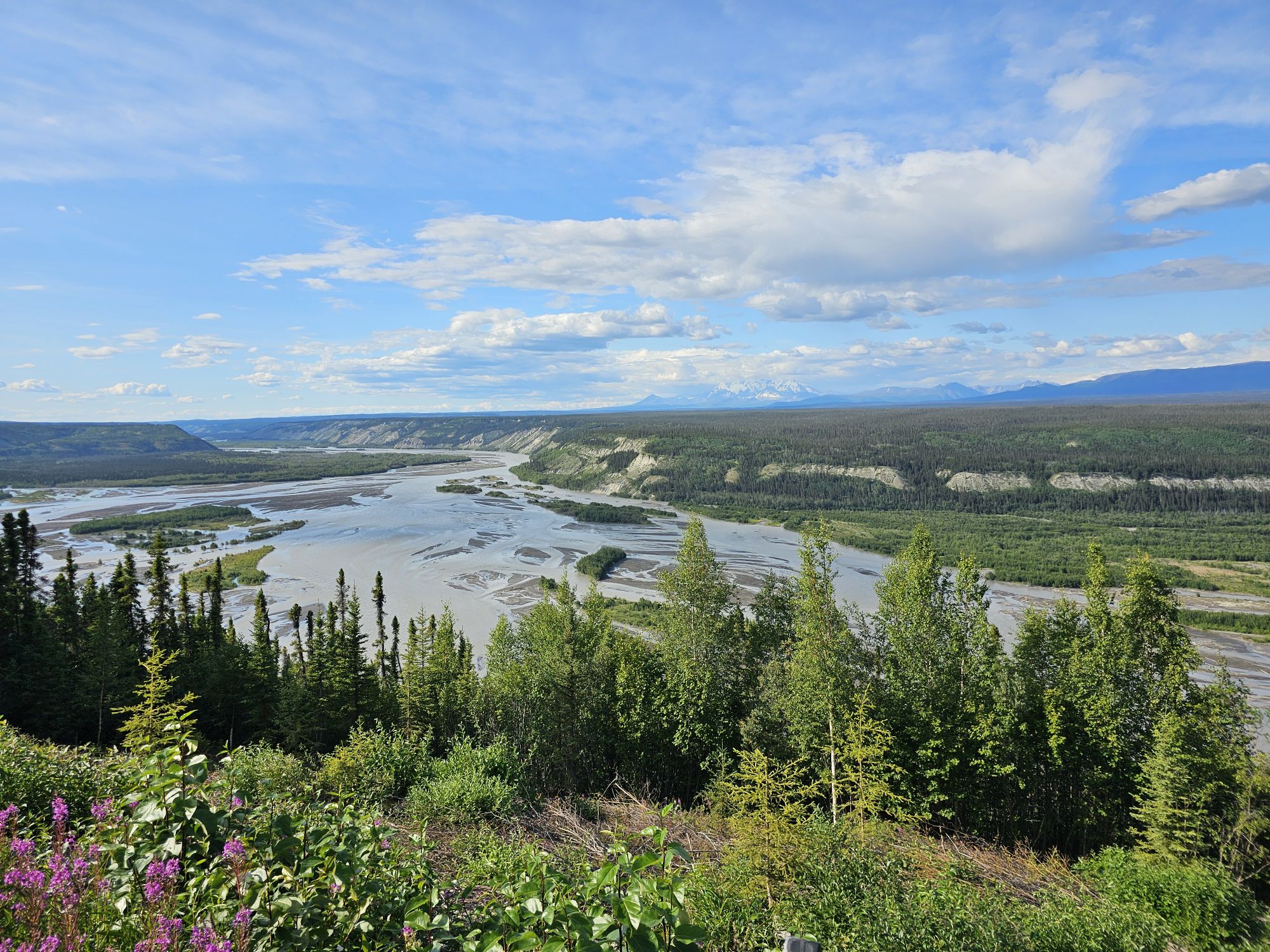
After driving 180 miles to Glennallen, the last “big” stop before connecting to the Richardson Highway, and fueling up, there was STILL another 125-ish miles left to go. As you can imagine, despite these being highways, this is a remote, sparsely populated area of Alaska, with little in the way of amenities and very little cell phone service. There is a visitor center in Copper City, and this is the one you want to stop at. The visitor center in Chitina looked small and doesn’t even appear to be open. There is a visitor center in Kennecott but it is actually quite small, more of a station, and does not have a sign for the park, so do not miss the Copper Center one!
The McCarthy Road is the way to actually drive into this massive park and visit the towns of McCarthy and Kennecott. Really, this was the only part of the trip that required the early planning. The McCarthy Road used to be an old railroad track. The track was covered by dirt and rock a few decades back and became a road. One has to watch for serious potholes and remnants of not only the rail line, but also stray railroad things (like spikes for instance) that can deflate, literally, your dreams of reaching the little towns of McCarthy and Kennecott, both located inside the park, more or less. I will get back to the history of those areas later.
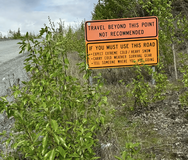
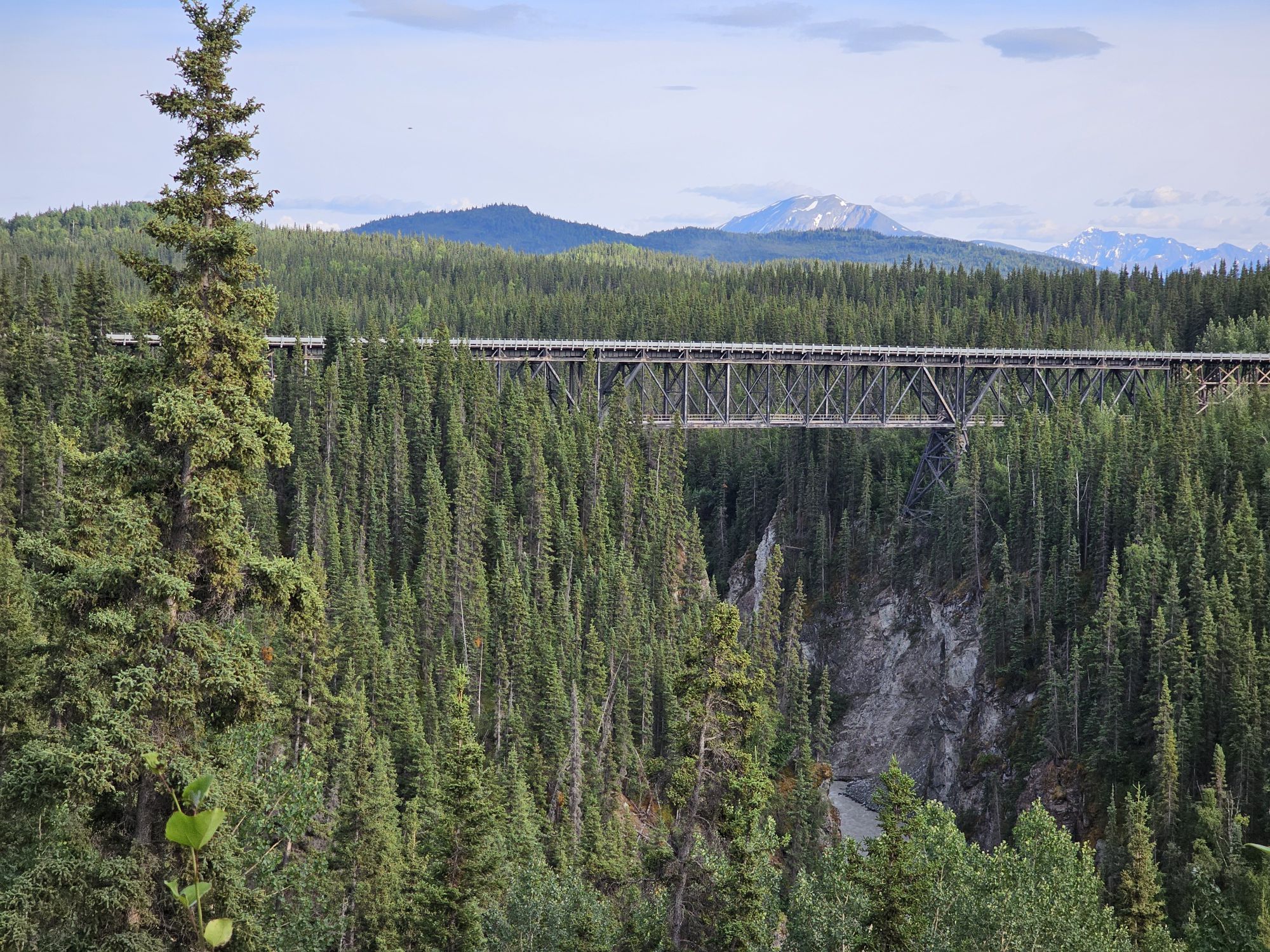
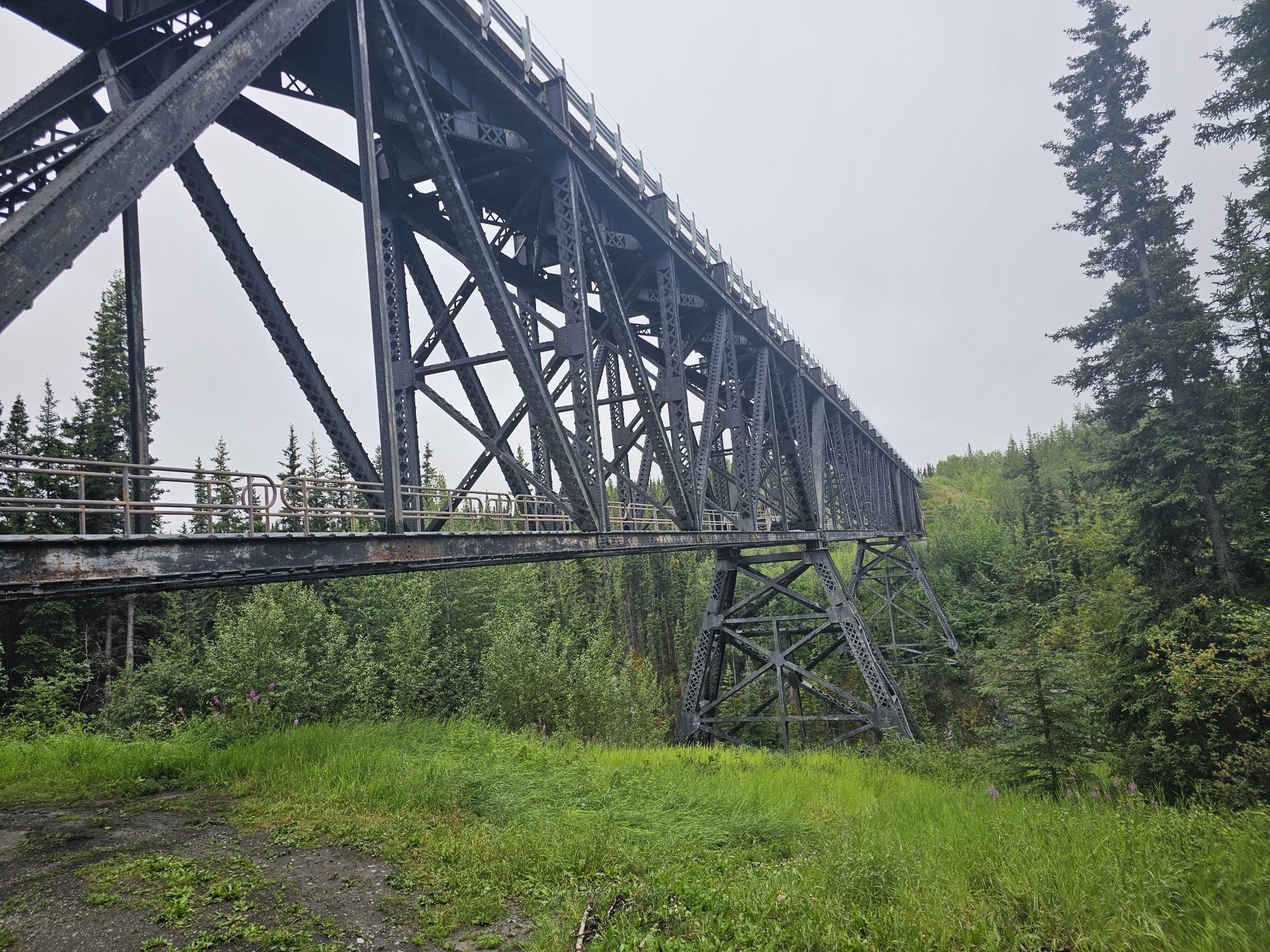
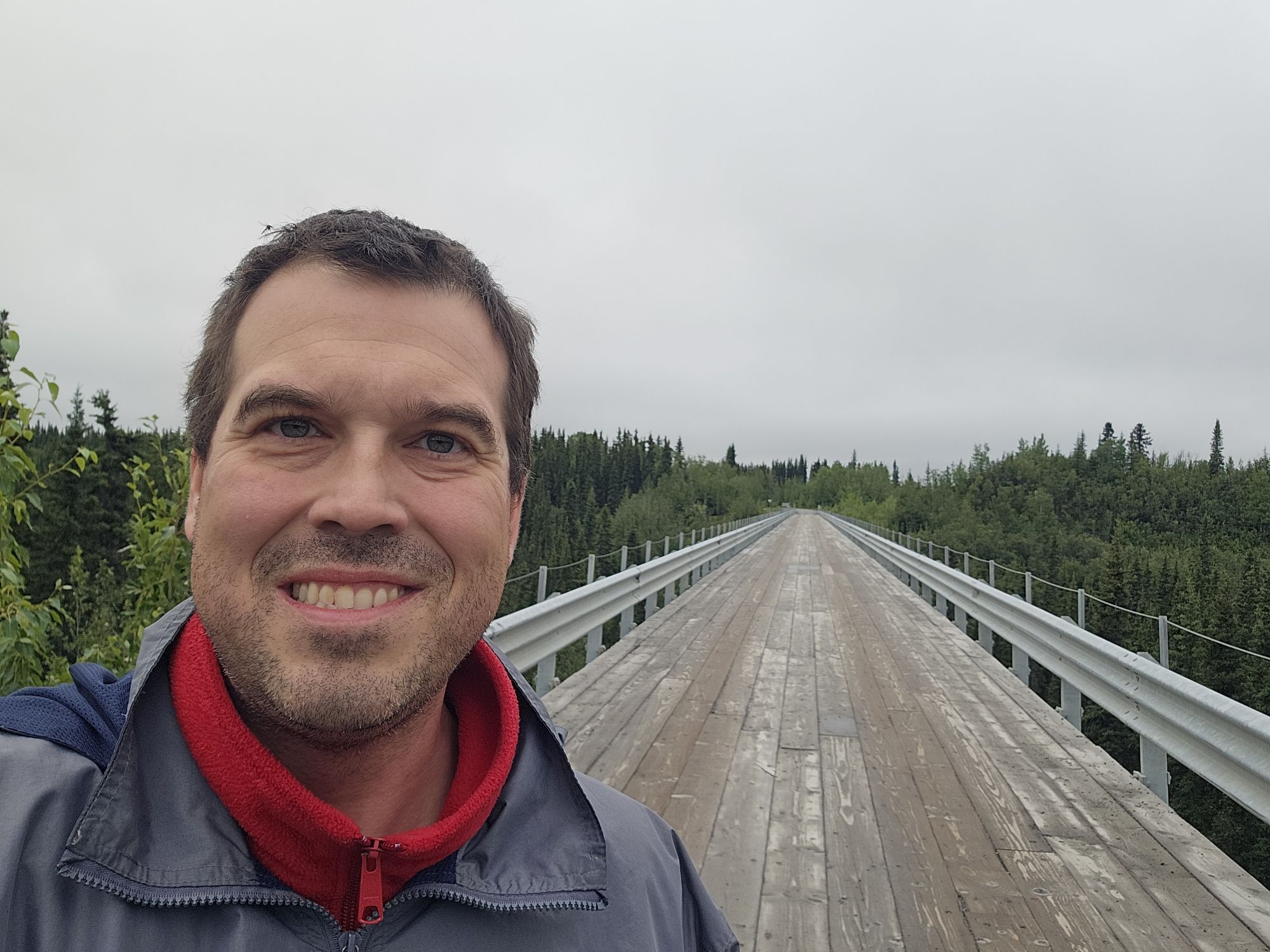
Upon reaching the McCarthy road, the pavement soon gives way to gravel/dirt and a sign warning you that going further is not a good idea. It is roughly 60 miles and 2 hours through a whole lot of nothin to reach McCarthy! This drive is not one you want a problem on. Very few cars come down the road, there is no cell signal, and there are 0 places to stop for anything. Anyway, the road was actually not that bad when I drove it, save for a couple spots. I understand from the locals that it most definitely can be bad depending on rainfall. The Kuskulana Bridge is a super cool bridge that will test your courage if you are not a heights person. The bridge is the wooden, one lane variety, and crosses the Kuskulana River, about 250 feet up. The bridge has access to the under side, although walking across seems to be blocked off. Fun fact, this bridge had zero guard rails until 1988. Imagine driving across that in the Alaskan wilderness with no guardrails!
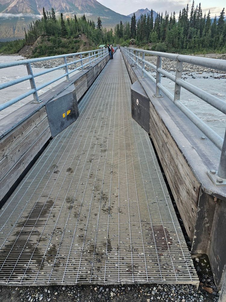
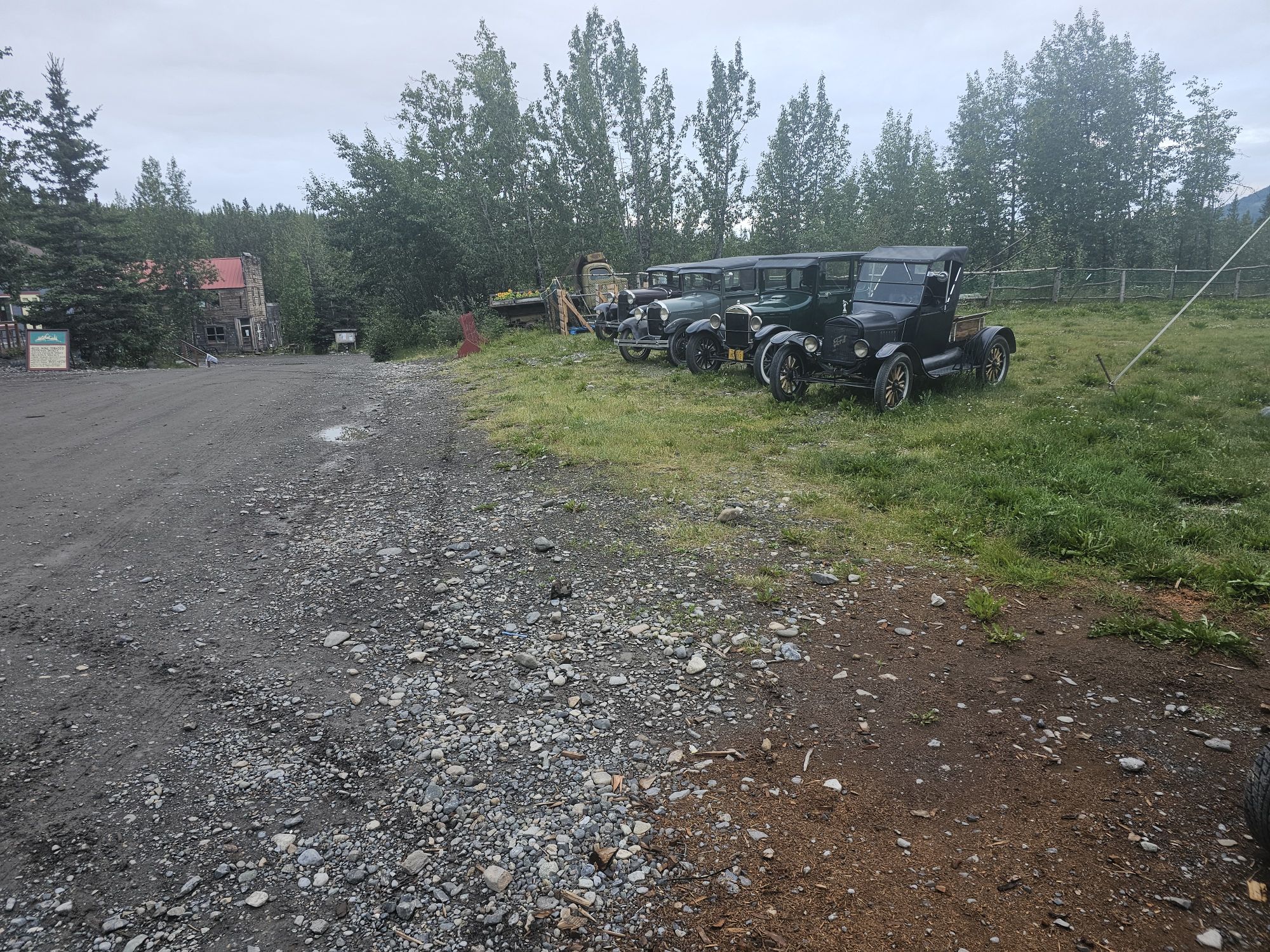
Finally, I arrived at McCarthy, AK, population 107, as of 2020. If you are planning a trip to McCarthy it should be known that you are not allowed to drive into the town. There is a paid rocky parking lot, that you can also camp in, along the shores of the Kennicott River. Once upon a time, people had to cross the river in a bucket on a cable! Now there is a foot bridge for tourists. The locals have a separate bridge elsewhere that only they have access to, but visitors must park at the parking area at the end of the road. The town has provided wagons to help with shuttling luggage across if needed, but once across you will have a half mile or so walk mostly uphill, over rough gravel. There are privately scheduled shuttles that will pick you up for a small fee as well. Unfortunately, as I got there late, the shuttles were no longer running so I had to get all my stuff to my airbnb the old fashioned way. It was after 9 PM, but seeing how this is Alaska in the summer, even in late July there was still plenty light for me to get to my Airbnb and settled in for the next 3 nights. My place was right in McCarthy and only a few minutes walk from the main strip. By main strip, you should remember where I am…the main strip was a dirt road, and included the famous hotel in the town, Ma Johnson’s (this one is pricey and needs to be booked early!), an awesome daytime restaurant, The Potato, a late night bar/restaurant, The Golden Saloon, a general store that has wifi if you purchase something, and some excursion outfitter offices, so temper expectations. There are a few other lodging options in McCarthy as well. If you are interested, the AirBnB I booked can be found here! It is relatively affordable, the host was great, there is wifi pretty close, and it’s close to the McCarthy “strip”! Anyway, I walked to the Golden Saloon and had a bite to eat and a drink.
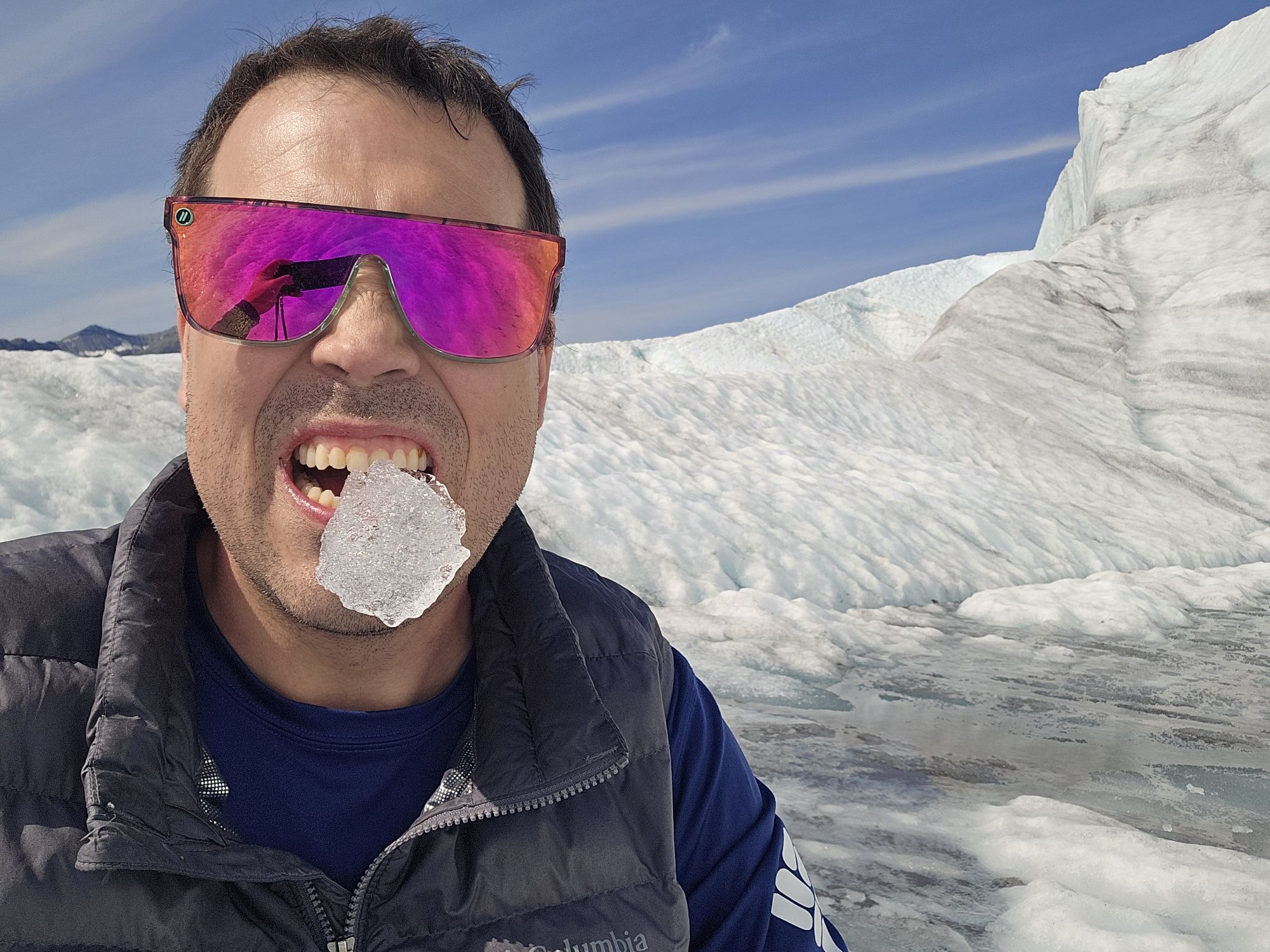
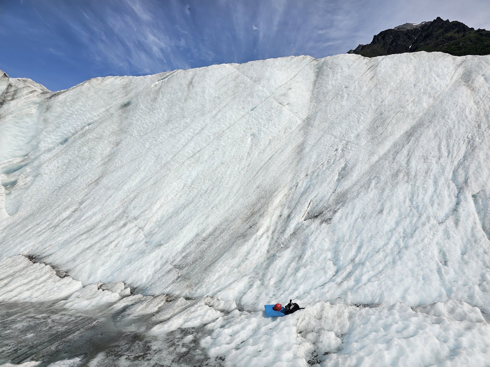
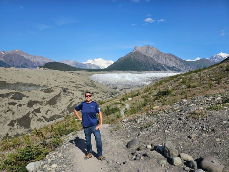
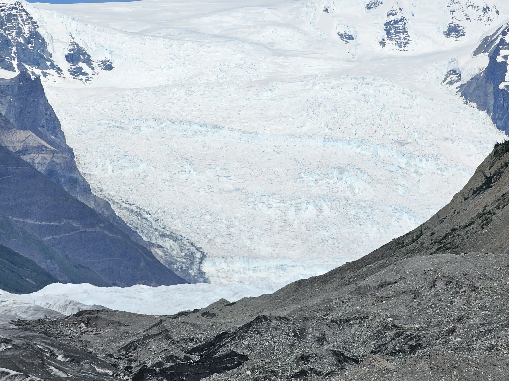
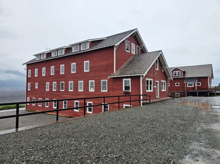
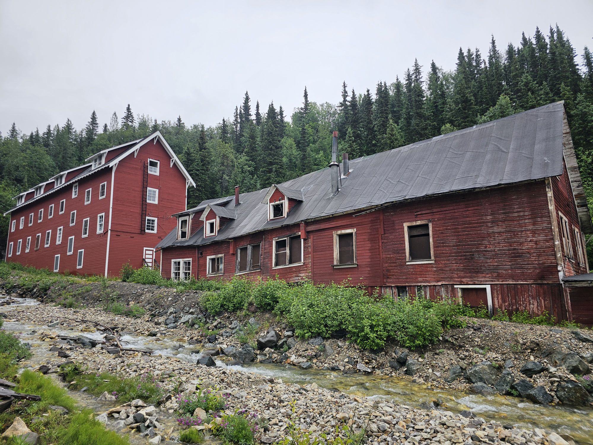
The next morning I woke up early to another spectacular day and hopped on one of the shuttles up the road to Kennicott. Kennicott is effectively the ghost town of the old Kennecott mine, a super well known and recognizable historic landmark in the National Park. And yes, the two names are indeed spelled differently although they are interchangeable and there is a story there, but not a very interesting one (also I am not being particular about which spelling I am using throughout the post!). There are some homes up there, some outfitter offices, and there is one big lodge up there as well. Anyway, I had planned for an excursion with St. Elias Alpine Guides, one of the two big outfitters in the area. This day was a hike onto the Root Glacier, including an ice wall climb! As luck would have it, I was the only person doing this particular hike, so it was just me and the guide, which was actually really cool! From the mine, the hike to the glacier is a couple miles. It should be noted that not all that long ago one could walk straight out onto the glacier from the town itself…and that a mere 100 years ago, the glacier was so predominant that the distant mountain ranges were not visible above the glacier. Now, it is quite retreated. In any event, the 3 mile hike to the edge of the glacier involved carrying special boots and crampons to walk on the ice. After gearing up it was off to step foot onto Root Glacier! To walk on the ice required a certain gait and way to step, but it was quick to learn. The ice is not smooth. It is very rough, with a sharp consistency due the surface melting. We trekked a pretty far distance up the glacier before my guide found a suitable wall to prepare the climb. What a neat experience! I was quite nervous about the whole matter. I wasn’t even entirely convinced I was going to do it until I turned up as the only one on this tour, so of course I had to do it! The views on the glacier are pretty killer. To the north is the Stairway Icefall, a 7,000 vertical foot icefall that feeds Root Glacier. This is one of the tallest icefalls on the planet. To the northwest is Mt. Blackburn, a towering mountain 26 miles away. It is the tallest of the Wrangell’s at nearly 16,500 feet. The hike also offered plunges into super cold glacier pools. I declined, and I am pretty sure my guide was grateful for that. He did offer me the chance to rappel down into a crevasse/hole in the glacier. I told him he was nuts and he told me its “pretty safe if done correctly.” Um. No thank you. And I do not regret that decision.
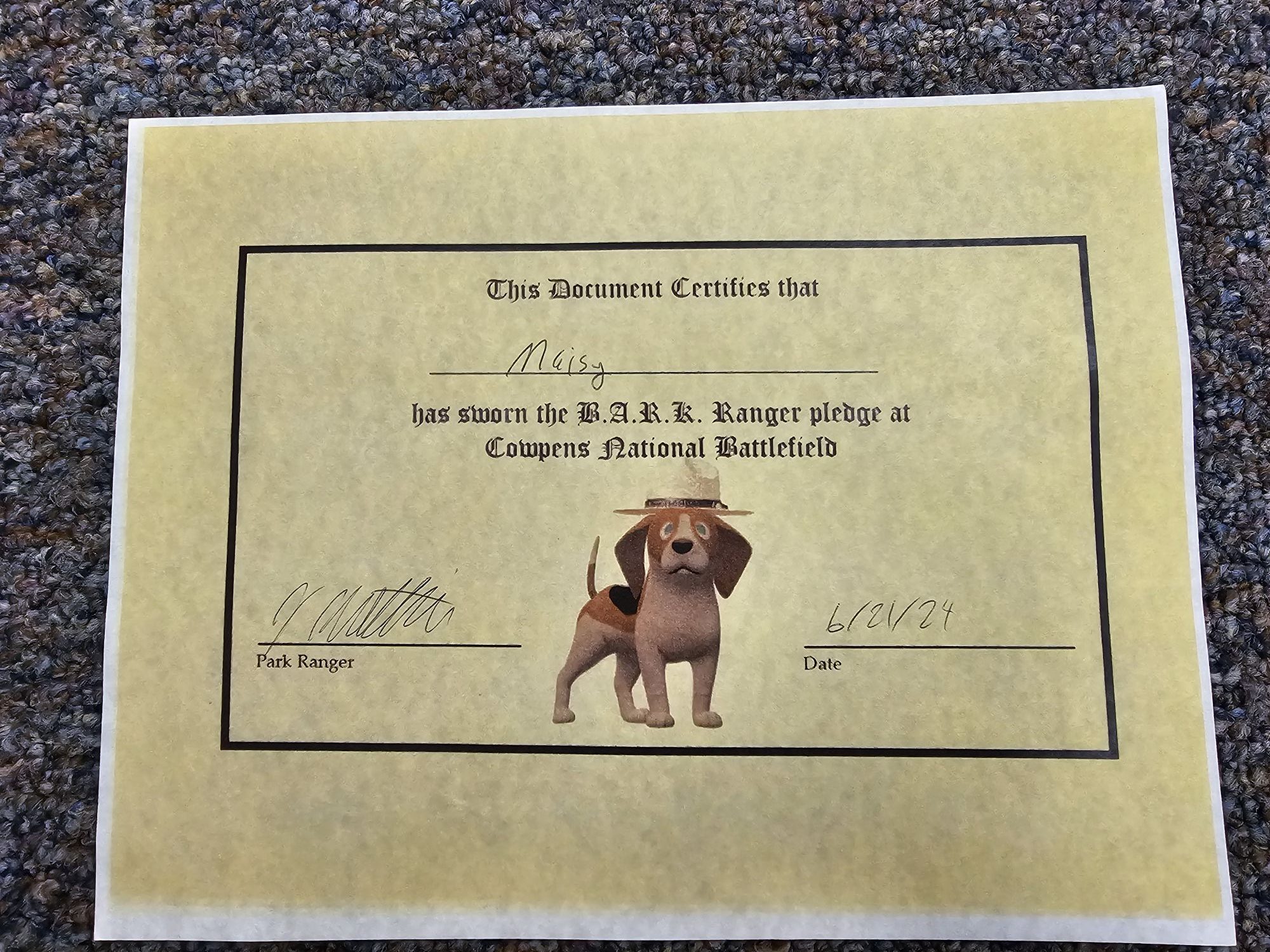
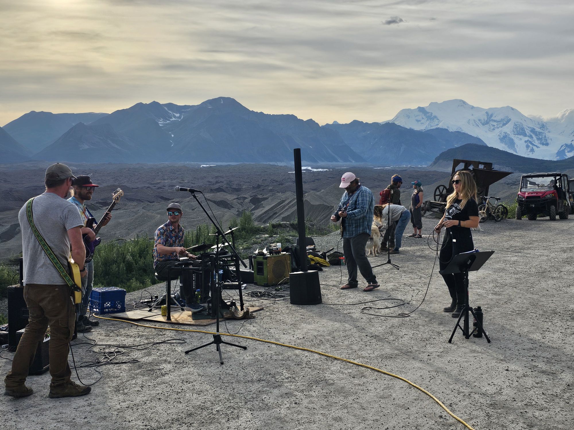
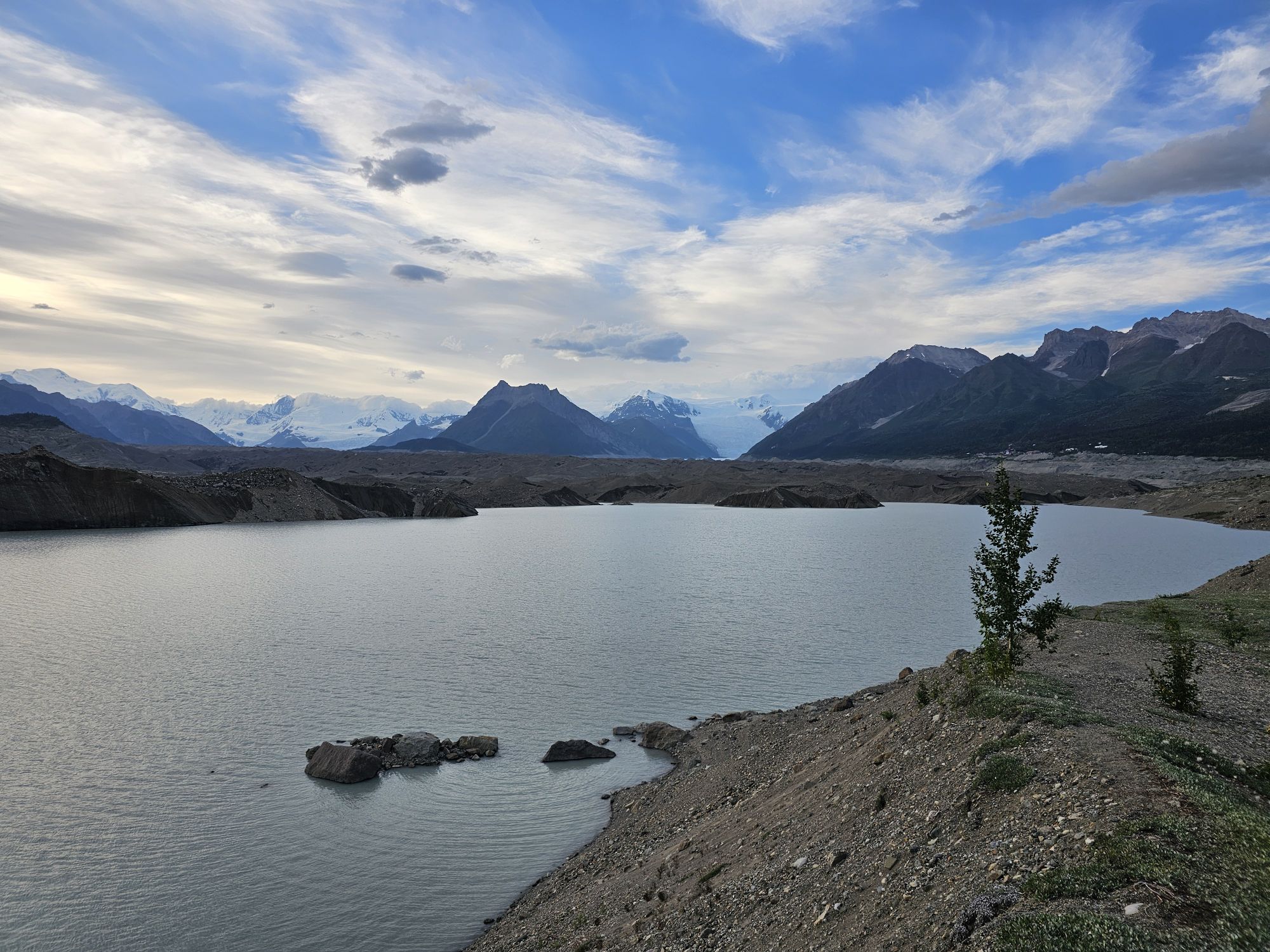
The hike took up the better part of the day but we got back to the mine around 3 PM. That was time for me to check out the NPS ranger station a bit and walk around the old mine and town. I had a mine tour scheduled for the next day so it was not a terribly thorough exploration. I took the bus back down to my Airbnb. As chance would have it, there’s a member of the #USBarkRangers group that LIVES IN KENNECOTT! She actually reached out to me a couple weeks prior to suggest meeting up and we ended up meeting that evening back up at Kennicott for some outdoor music event (?!). I was unsure if I could go because the buses only run to like 7 PM and I was thoroughly uninterested in the 5 mile walk down the mountain side but my Airbnb host was gracious enough to let me use one of her bikes, and she told me the bus would let me take the bike up, and then I could bike down, so problem solved! Anyway I met up with this lady at this open space on the edge of the cliff at this town event that was amazing and cool as hell! There was a mixture of seasonal residents, and tourists, there is a town food truck up there, and apparently they bring in bands from around the state to play during the summer! This was a random Tuesday afternoon, but was super awesome seeing this band playing in this setting! Afterward, I biked the 5 miles back down to McCarthy. En route, I found a side trail that went off through the woods and gave access to what is called the “toe” of the glacier. This is basically where the glacier is breaking up and poking out of the water. The big mounds of dirt here are not actually dirt but still parts of the ice just covered in gravel. If you look closely enough you can still see the ice and even hear the creaking of the ice! I was the only one out here, it was dusk, and this is grizzly country, so I didn’t linger but I wanted to check it out as the next morning’s excursion was a paddle in the same area.
I got back to my Airbnb and made dinner with what I had brought in my cooler. I later went to the bar anyway, because one cannot miss out on Alaskan beer! A couple came in at about 11 PM and provided a very useful reminder of the preparation needed for these Alaskan trips. They sat down and immediately asked if they could order food for the family. The bartender explained that the kitchen was closed, the cook was already gone, and they only had some boxes of cereal sitting around but no milk. The lady was beside herself. They had come in the same way I did, but apparently did NOT stop to get food at that Glennallen Gas Station because they though this bar’s kitchen was open later than it was. The bartender reminded her where she was and that any hours she saw on the internet are not firm. However…another Alaskan lesson….these people are friendly. The barback working offered to run to her house or wherever she was staying, and bring back mac ‘n cheese to make in the kitchen for the family. A great ending to the story, but don’t neglect to take advantage of every chance you get to stop for supplies when you visit Alaska!
The next day I woke early for my paddle…and as forecast, it was cold and raining heavily. I walked to the outfitter, still St. Alpines, and low and behold…once again I was the only person on this tour. I told my guide that she could take the morning off if she wanted….to her credit she was like, naw this is cool, it’ll be nice and easy only worrying about one person. Meanwhile…it was like 45, maybe colder, and pouring. There was a dry suit involved and I was wearing TWO supposedly water proof layers, to be sure so ok! The paddle was actually quite a good workout and interesting. The views were not great as the area was fogged in, but the eery and quiet calm of the water at the toe of the glacier was super neat. Three hours later I was chilled to the core, discovered that water proof is apparently a subjective term, and was under a blanket for the next hour with the heat cranked in the cabin as high as it could go!
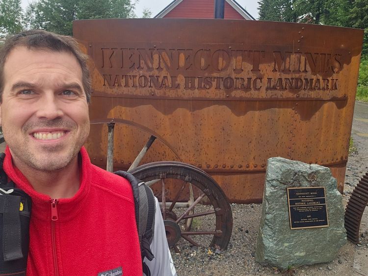
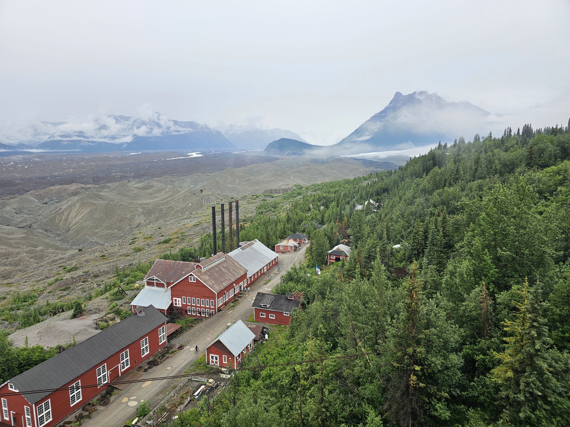
I rallied, went to lunch at the Potato, and headed back up to Kennicott for my afternoon tour of the mine mill. To tour the mine you must book with St. Alpine Guides. There is another outfitter in town, but St. Alpine is the only one with access to the mine. This time there were other people, like maybe 15, s it was a decent sized tour. Our guide was very knowledgeable about the history of this mine. I am not going to get into the ins and outs of the mine operations and how this mine was pretty revolutionary in how it worked, but I will take a minute to give the history of the area now. Roughly 130 years ago some men where doing Alaska pioneer things and came across natives talking about land where the ground was green. The men were intrigued and trekked to this area and found this green land. The green was actually copper strewn about on the surface. So, capitalism happened. A railroad was build where none had any right to be built and brought access directly up to Kennicott where this gigantic mine was constructed over the next couple decades. The mine was very lucrative as the deposits here were unusually pure. Thousands of workers set up shop here. Many were immigrants and part of the experience was going to school to learn to be American, or at least speak English. The mine town was a full functioning town but pretty much nothing fun was allowed, so that’s where McCarthy came in. The town at the rivers edge at the bottom of the mountain was were a miner could find bars, brothels, etc. Kennictott was for work, and McCarthy was for fun!
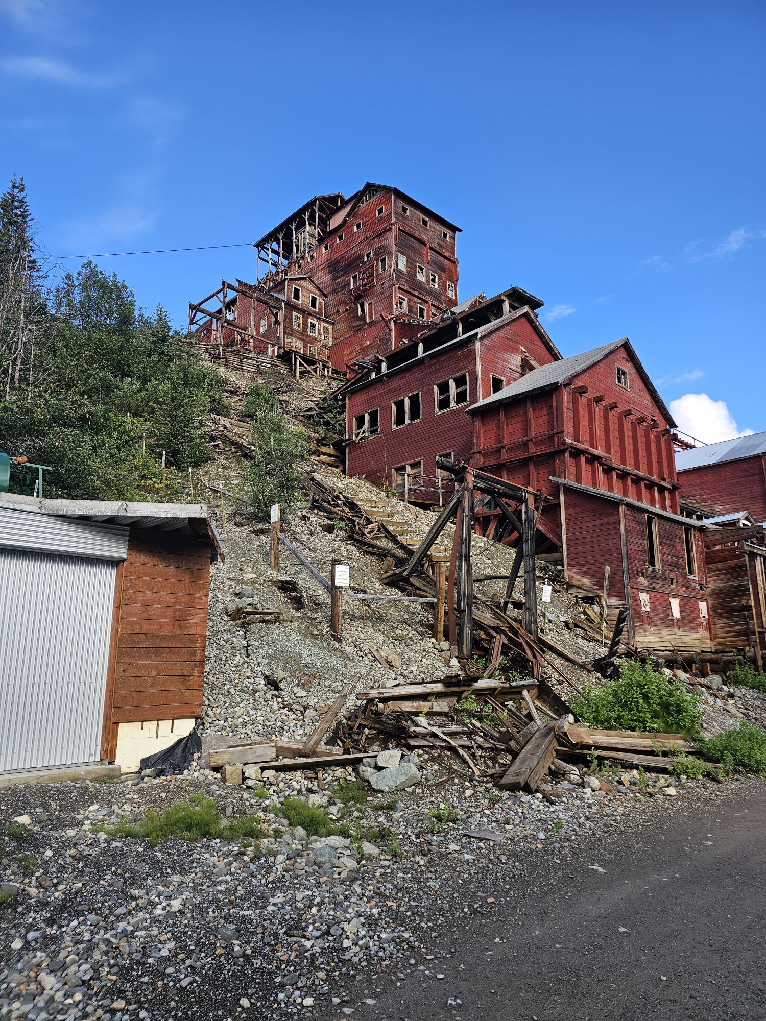
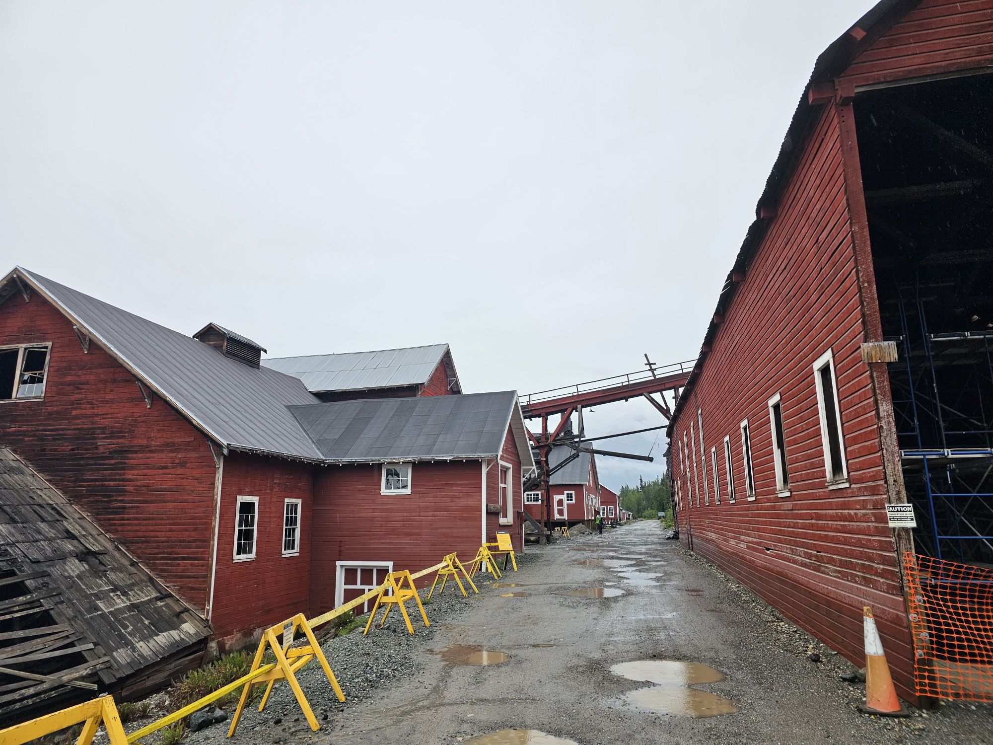
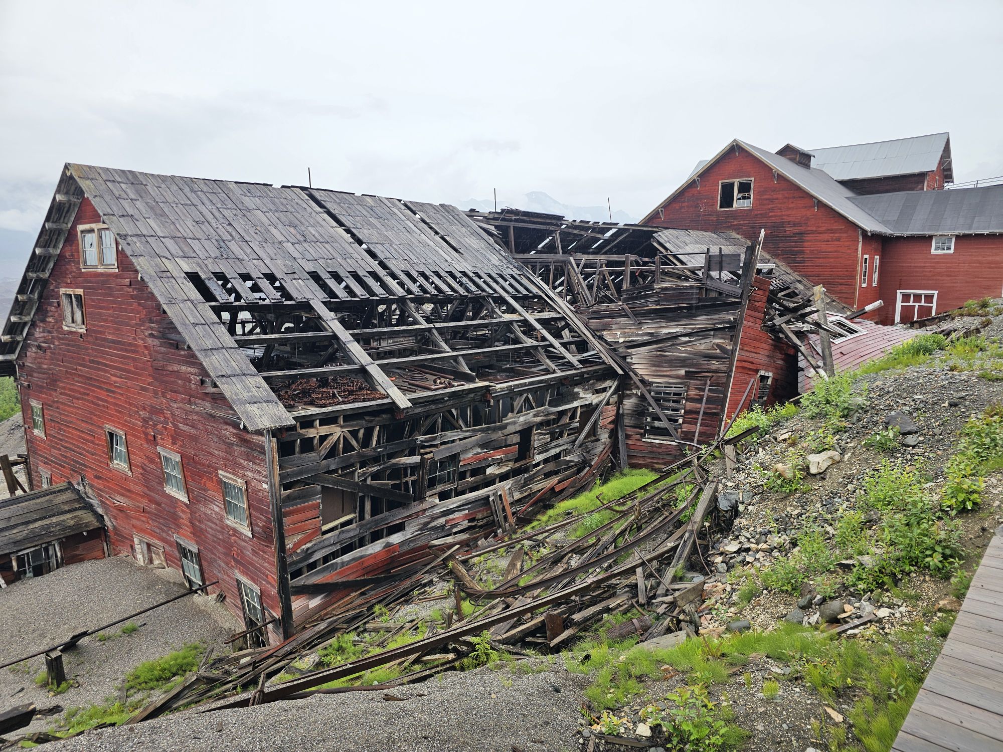
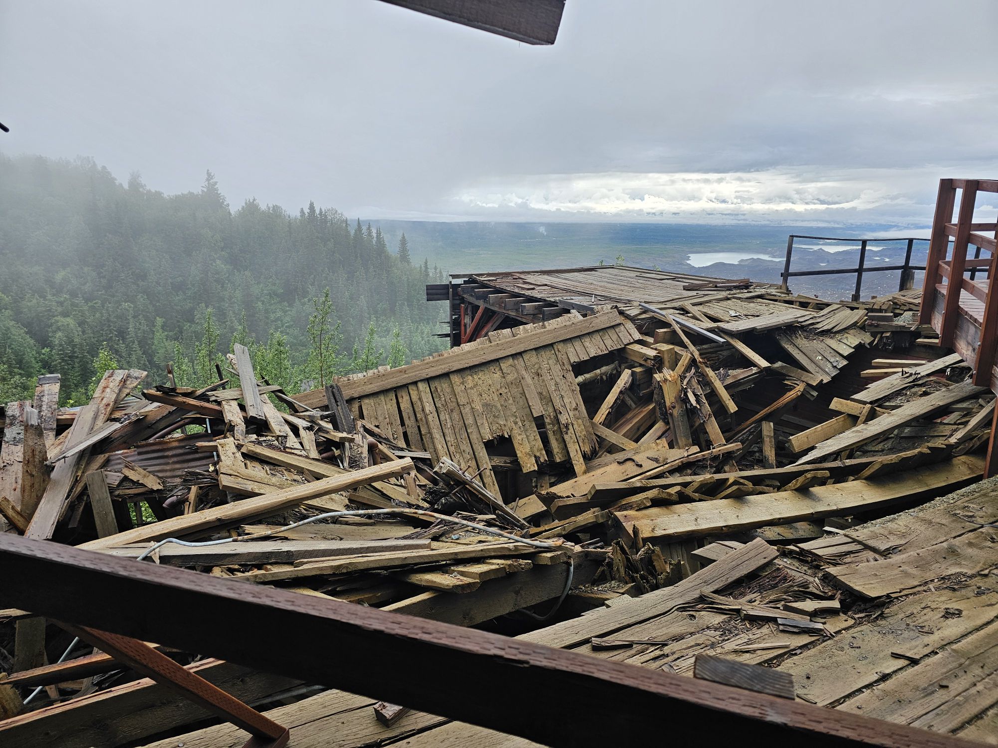
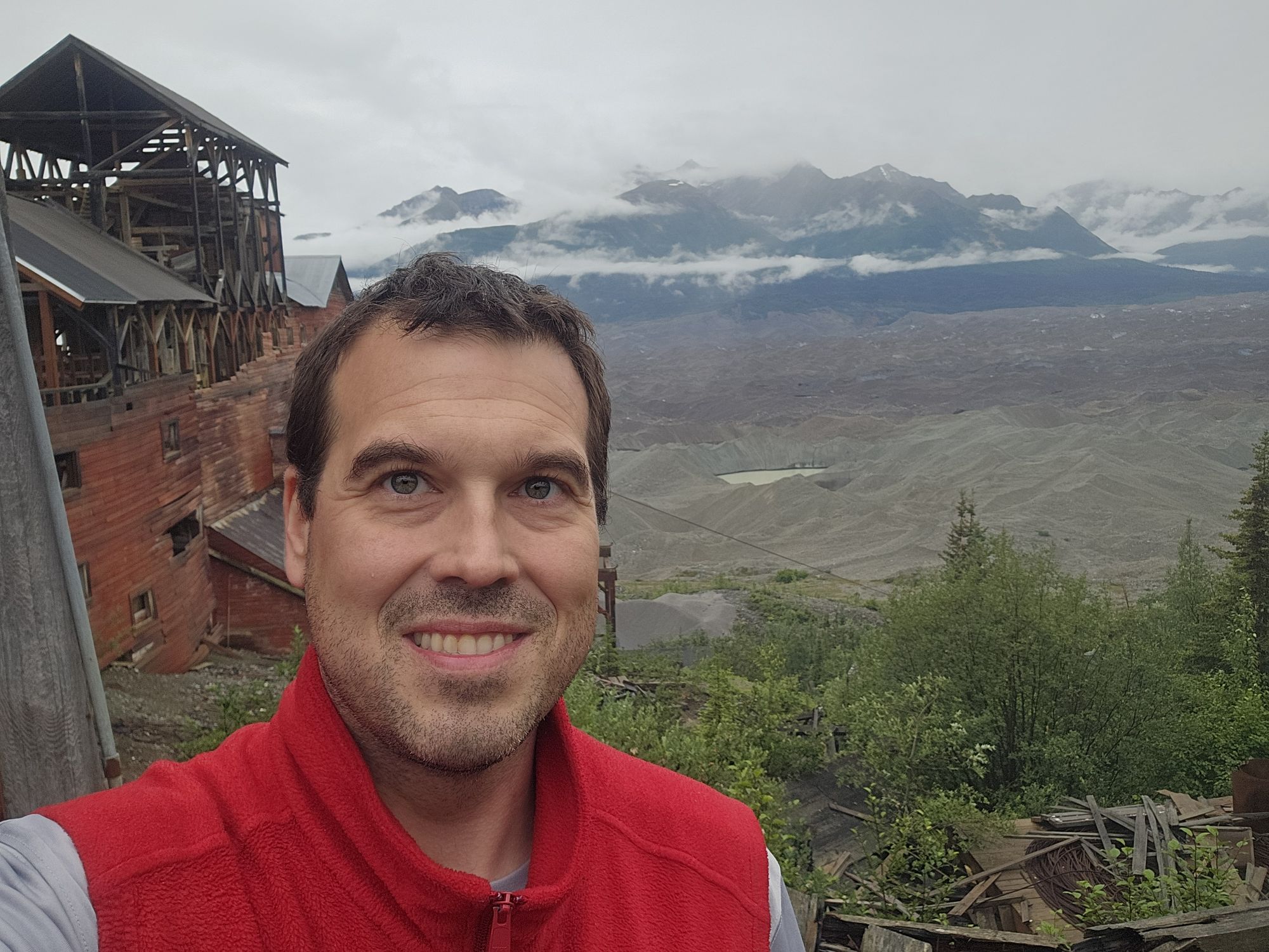
Most of the mine site is in terrible ruin and some of the buildings are collapsed. Some are still in great shape and used by the NPS as displays open to the public during operating hours. The large 14 story mill is the iconic structure of Wrangell-St. Elias National Park. It is also in quite a bit of ruin in certain places, but the NPS does allow tours conducted by St. Elias Guides. The NPS is actively working to preserve the structures so they will hopefully be around for decades to come. The mine tour begins at the road level and then goes up an uphill trail behind the mill so that the mill tour actually begins at the top of the 14 story structure and then the tour works its way down the 14 levels of the mine. Without getting too technical here, the mine is an engineering marvel, considering where it is located. The copper came in the top and basically, depending on how pure it was, worked its way down the various levels. As time went on the really pure ore disappeared and then this facility pretty much pioneered a new way to extract copper from what would have been considered waste. The mine was in operation for about 30 years and made the equivalent of nearly 2 BILLION dollars in profit in the early part of the 20th century. Around 1940 the mine was abandoned. Wrangell-St.Elias National Park was founded in 1980 and the NPS acquired Kennecott in only 1998. The mill is the only part of the mine that requires a tour. Many of the buildings are open and functioning as museum pieces, though some are still labeled as private residences. Some are standing but closed due to disrepair. There are several long hikes around to get to different mining areas further up the mountains. I did not do any of those. But there are guides that will lead you.
After the tour I explored the entire area not part of the tour, and then I had to rush to make the last van as I had not brought my bike along. And let me tell you…I was in the front, wedged between seats in a thoroughly bad way. There was not going to be another shuttle…so it was that or walking! The driver said that the driver of the the other van that was supposed to be operating decided to stop working for the day sometime earlier! So, if you go, understand the shuttles are super helpful and convenient…but it’s Alaska! That evening I grabbed my borrowed bike and went around the town, back across the footbridge, back to the toe area, just to kinda get the last visuals in. The weather had vastly improved in the afternoon so it was a beautiful early evening!
The next morning I got up early and packed out my stuff and hit the road. I feel like this drive back to the Anchorage area took nearly 12 hours…because it did. Remember, on the way out, because I stopped to see Denali, I did not have time to stop and really view anything, so coming back to Anchorage I did stop often. The big thing to see along this high way is the Matususka Glacier. This is a huge draw for tourists as its only 2 hours or so from Anchorage. Again, the glacier, which is visible for miles and miles of this drive, has retreated so much that is used to be easy to drive up to and walk on, but now requires a lot more effort and a required ($$) guide. I drove down the road to the entrance area, but there isn’t much to see, so skip unless you are hiking the glacier. Pro tip…there is an elementary school off of the highway that actually has killer views of the glacier.
Finally, I arrived back to Anchorage, and it was only 6ish so I drove down to Girdwood, to make a repeat visit to Girdwood Brewing. I love their beer and I needed a new glass! A couple hours later I sat down to dinner at 49th State Brewing back in Anchorage and called it a night.
The following day was my last day of this trip but it was a full day. I did not have any real firm plans for this day so I ended up checking out Eagle Lake Discovery Center, Lake Eklutna, and Thunderbird Falls. All of these were in the same area about an hour north of Anchorage. They were nice for what I was looking for, but nothing too special. When I got back into Anchorage I called the A1 dude to return the vehicle. He asked what I was doing the rest of the day, I told him I was planning on some Moose’s Tooth Pizza. Being the every interested party as he was, he strongly suggested I go to the sister restaurant, Bear Tooth Grill instead. He then offered to drive me AND pick me up if I would just give him a slice or two! Anyway, I got back to the Airbnb (I had rented for the night even thought I would be leaving at midnight). I decided I was not quite done yet, so I called a cab and went to Matanuska Brewing for my last Alaskan beer (sadly it seems that at least the Anchorage location I visited has closed). And with that, it was a trip!
Overall Impressions: This is about as great of a National Park trip as you can take. I am writing this entry more than a year later and I have really enjoyed reliving this trip. This park is my favorite now, and I would love to go back!
The Adventurer’s Rating: 5 Arrowheads!