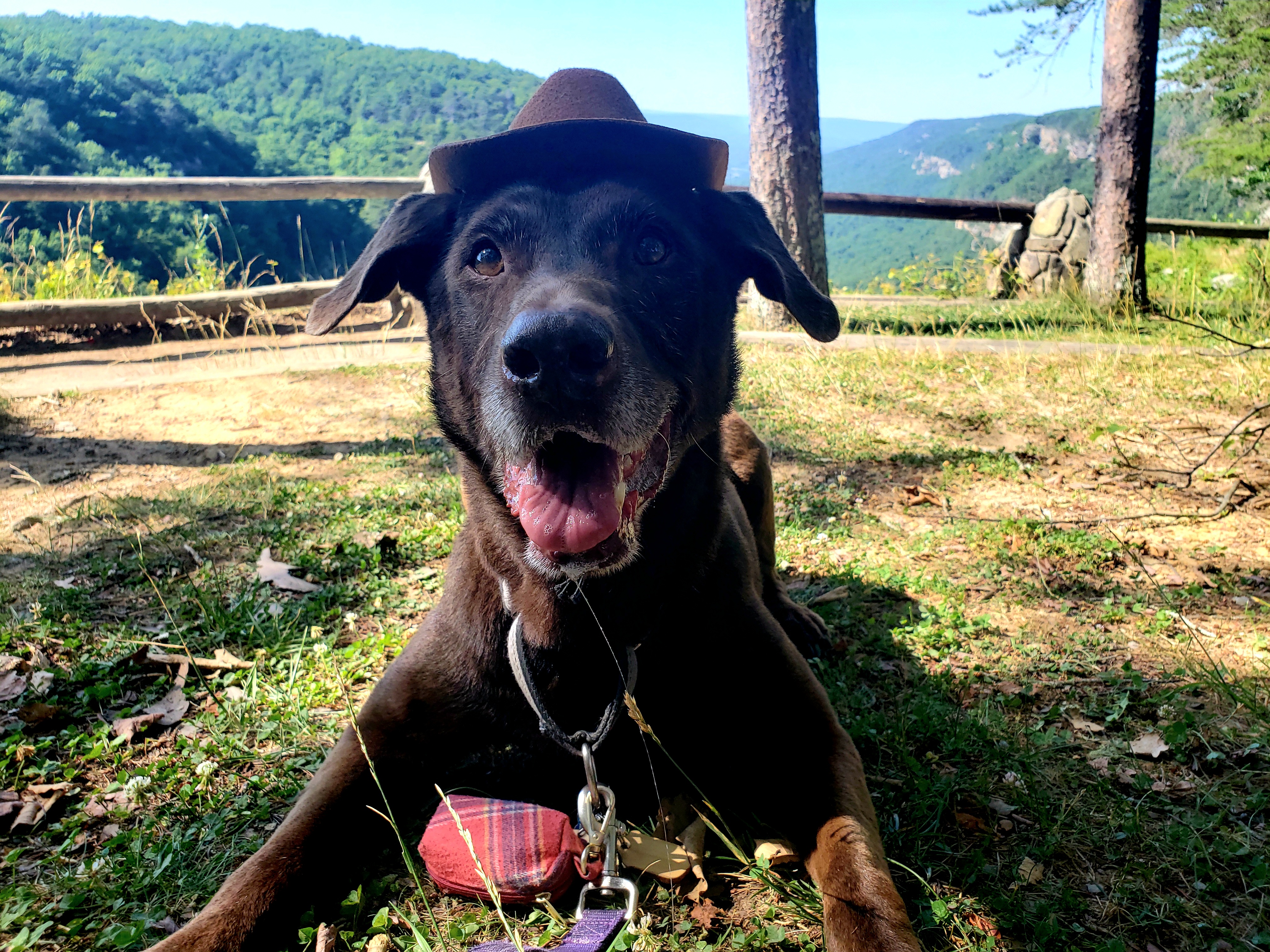
Juneau, AK. June 2023

Hey there adventurers! The Sidekick and I ended up in Juneau in June this year! Most people cruise to Juneau and can only stay 8 hours or so, but we flew and stayed a week to see the whole area and to optimize the chance for good weather. This trip also included a day trip to Glacier Bay National Park. Feel free to visit that entry and check it out! *It took way to long to get this one out, I already had this done but apparently hitting save did not actually save because I had left the window open too long before hitting save, and lost it all. Ugh. Also, some life situations hit….several more trip logs should be coming in short order!*

Before I get into the entry, I will give a quick geography lesson of the area! Southeast Alaska, which is predominantly mountainous rainforest, is cut off from the rest of Alaska, and mostly even from neighboring Canada. Many people visit Juneau as one stop on a cruise that visits several towns in what is called the Inner Passage. Despite being Alaska’s capital city, it is only accessible by plane or one of those cruise ships. Juneau sits to the east of a channel of water called the Gastineau Channel. Downtown is the touristy area where the cruise ships dock. The main road travels north a few miles to the “midtown” area, then continues further north through the Mendenhall Valley, where the airport and University of Alaska Southeast is located, as well as the namesake Mendenhall Glacier. The road continues north quite a ways into the sparse surroundings before ending. The road also continues south of downtown for a little bit as well. From downtown there is a bridge across the channel to Douglas Island. Douglas Island is a mountain that is mostly just the road from the smaller town of Douglas that wraps about halfway around the northern part of the island passing homes along the road and a ski resort at the top. If you care to travel elsewhere you need boat or plane access!
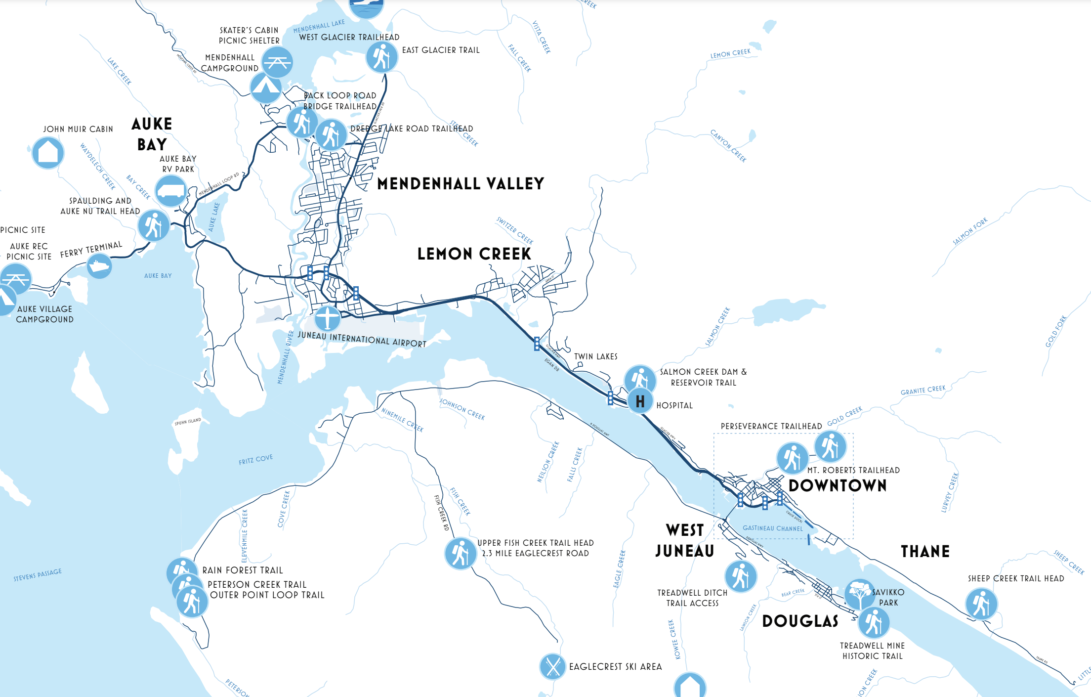
This is a good map from the city of Juneau showing the areas I mentioned. You can see the extent of the Douglas Island road and the southern end of the road through Juneau, but the northern terminus of that road is still aways off the map.
View of Juneau from Douglas, looking across the Gastineau Channel. Cruise ships, mountains, and a plane coming into land on the water!

We landed on Wednesday, as scheduled and were off on the adventure! We settled into our AirBnb, a really nifty cabin on Douglas Island, right across the Gastineau Channel from downtown Juneau. The area and cabin were perfect for the peaceful setting, but the spot was only a few minutes from downtown Juneau and also from Douglas, the little town at the south end of the Douglas road. There aren’t many things to do on the island other than the ski resort. There is a Sandy Beach (that’s its name!) and a few restaurants and shops in Douglas. Other than that, it’s mostly residential with some hiking opportunities, but made for a convenient base camp for the first half of the trip. Heading into Juneau, we made a stop at the Red Dog Saloon in downtown. This is a very kitschy place that seems to be a “must do” for tourists in downtown. I am glad we did it, although the place was a little too touristy for me, but they did offer a proper duck fart (it’s a shot)! Next up we meandered a bit and took in the sites of downtown. Juneau is the 2nd largest “city” in the state, and also the capitol, but it’s still quite small with a population of 32,000. The scenery is great, so simply walking around was cool! After dinner we checked out the Alaskan Hotel and Bar, an old school hotel and saloon style bar, with a stage and karaoke that night. After some fun there it was time to catch some shut eye. Mind you …June in Alaska: even though pretty far south, still, June in Alaska (bring eye masks!)

I took this shot of Douglas Island and town from a trail above Juneau.
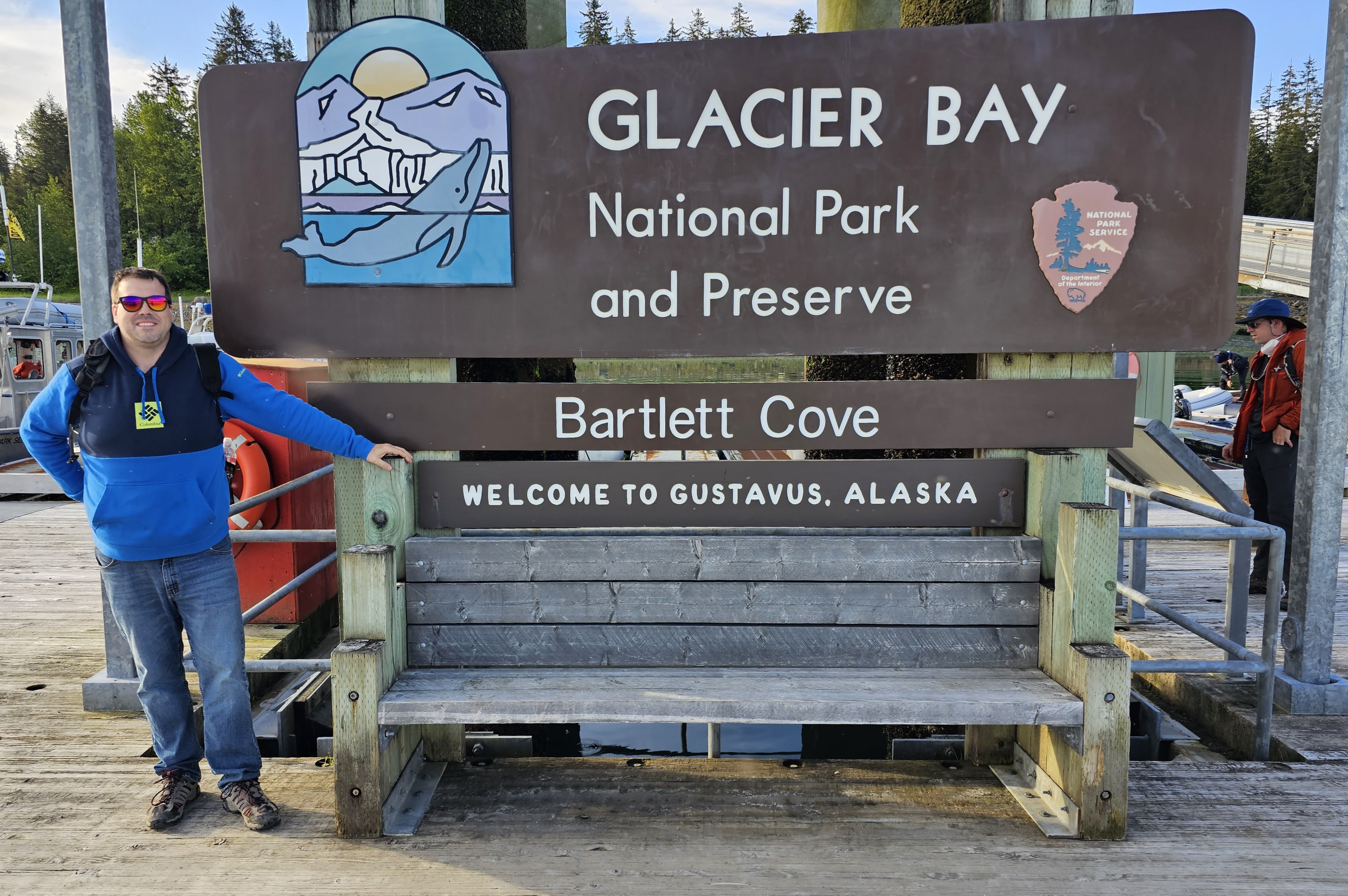
Be sure to click this to get a better resolution to read the sign!

Thursday saw us begin the day by visiting the Sandy Beach in Douglas. Here we walked on an actual …well…Sandy Beach! There was some kind of structure sitting up high out of the water (it was low tide) and a bald eagle was chilling on top with the mountain serving the perfect backdrop. It was a great peaceful spot to take in the surrounding scenery. From there we headed into Juneau and did some more exploring! Juneau has a cruise ship port so we checked that out: pretty much what you would expect with shops and restaurants for the cruise passengers. We stopped at a couple breweries: Alaskan Brewing Company and Forbidden Peak Brewery. FYI, there are weird alcohol laws in Alaska. A brewery can only serve what they make, and only like 32 ounces to anyone in any one day, yet you can go to the bar down the road and drink as much as you want. They also have to close at 8, and there is some weird rule against games and music in a brewery as well. Really bizarre! Alaskan Brewing Company is located in an industrial type spot in the midtown area, although they do have a tap room near the cruise terminal. They had the better beer, and you can actually find their beer in a lot of the lower 48. Forbidden Peak is in the Mendenhall Valley, and has a nice covered outdoor area with fires, overlooking Auke Bay, so the scenery was much better. We departed from there and drove the road north about 15 miles to a quaint church called The Shrine to St. Therese. It’s a particularly well known photogenic spot, but at this point it was raining and starting to get cold so the visit was brief and we headed back to downtown. A very enjoyable place to hang down by the cruise ships is a place called the Hangar. The bar here overlooks the marina and you have a huge cruise ship staring down at you, but the sea planes depart from right below the Hangar…hence the name! The Hangar had some pretty banging fried mushroom “fries” with sweet chili sauce…I highly recommend! We did some additional recon for activities later in the trip and stopped for dinner at a delicious Indian place called Spice, and by “nightfall” we found ourselves at another old school saloon type tavern called The Crystal Saloon. There is also a stage there and it was open mic night, so good entertainment was had!

Thought this was a perfect first morning view! I took this from the Sandy Beach.
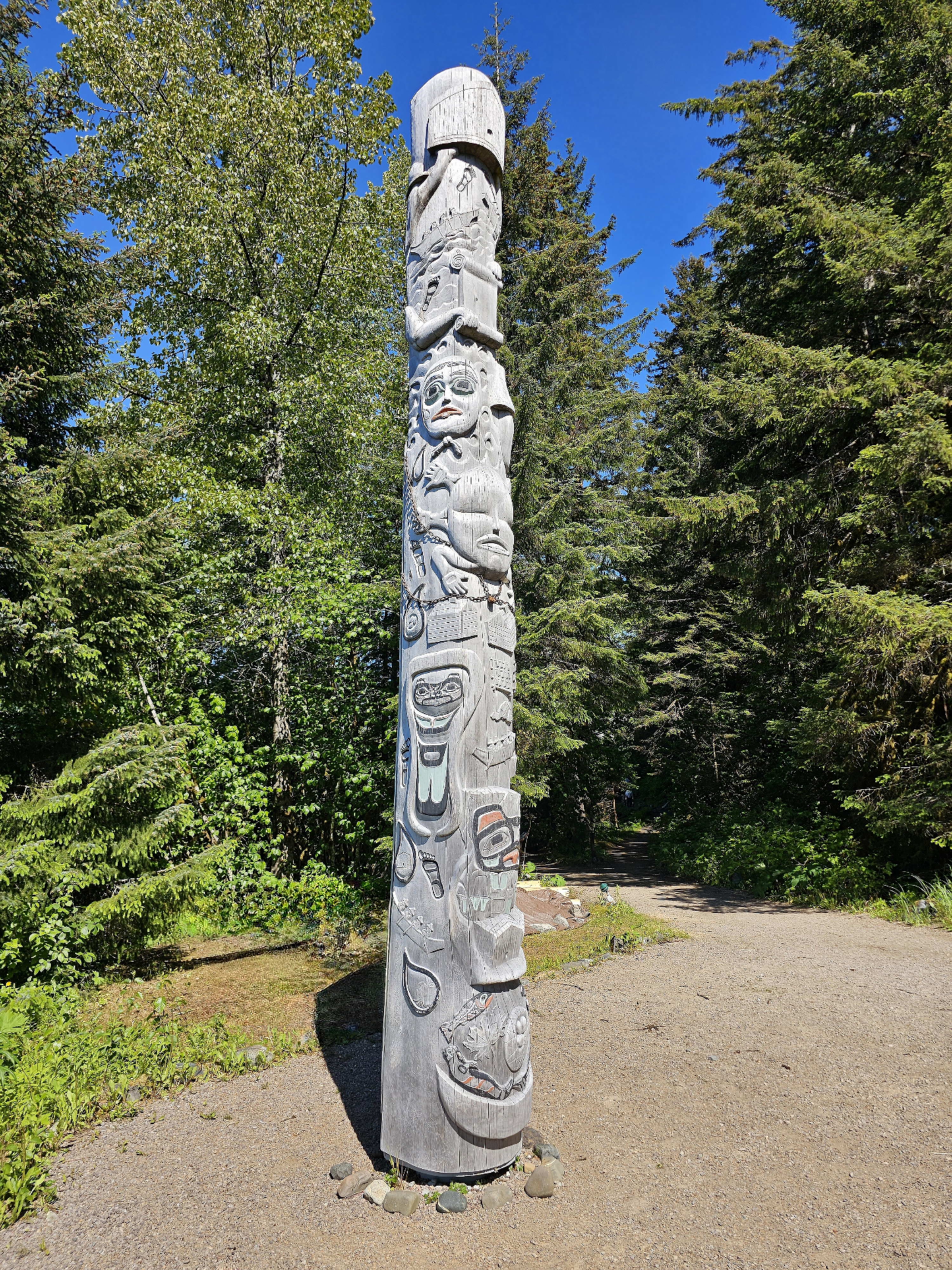
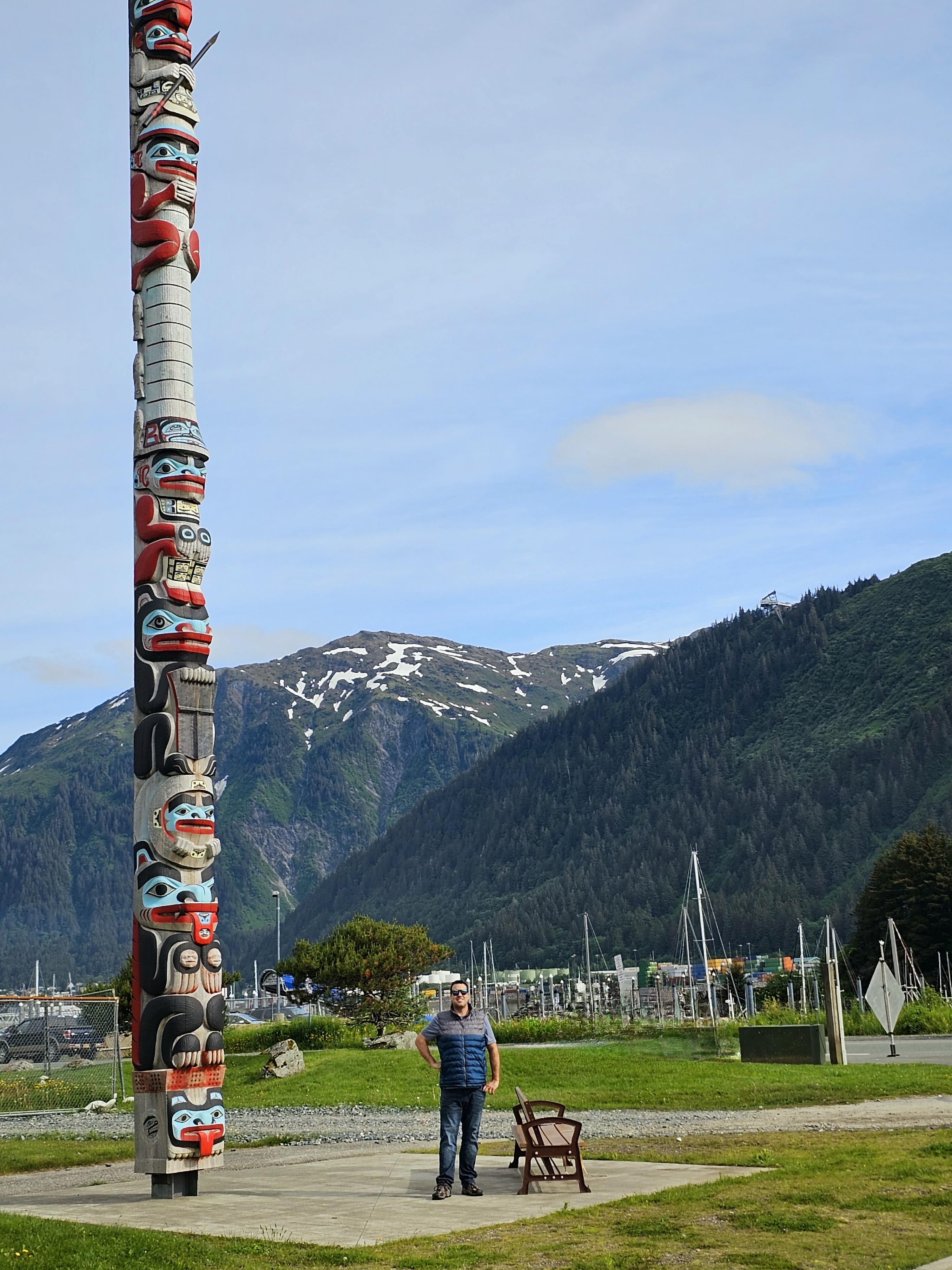
Pretty stinkin tall totem pole! This is also in the Sandy Beach area.
A surprisingly large amount of friends and family members thought this was a real whale when posted to social media! We found a nice passerby to snap this picture and unknowingly got the perfect angle to make this sculpture inside a pond look like we were right in front of the channel with a breaching whale!
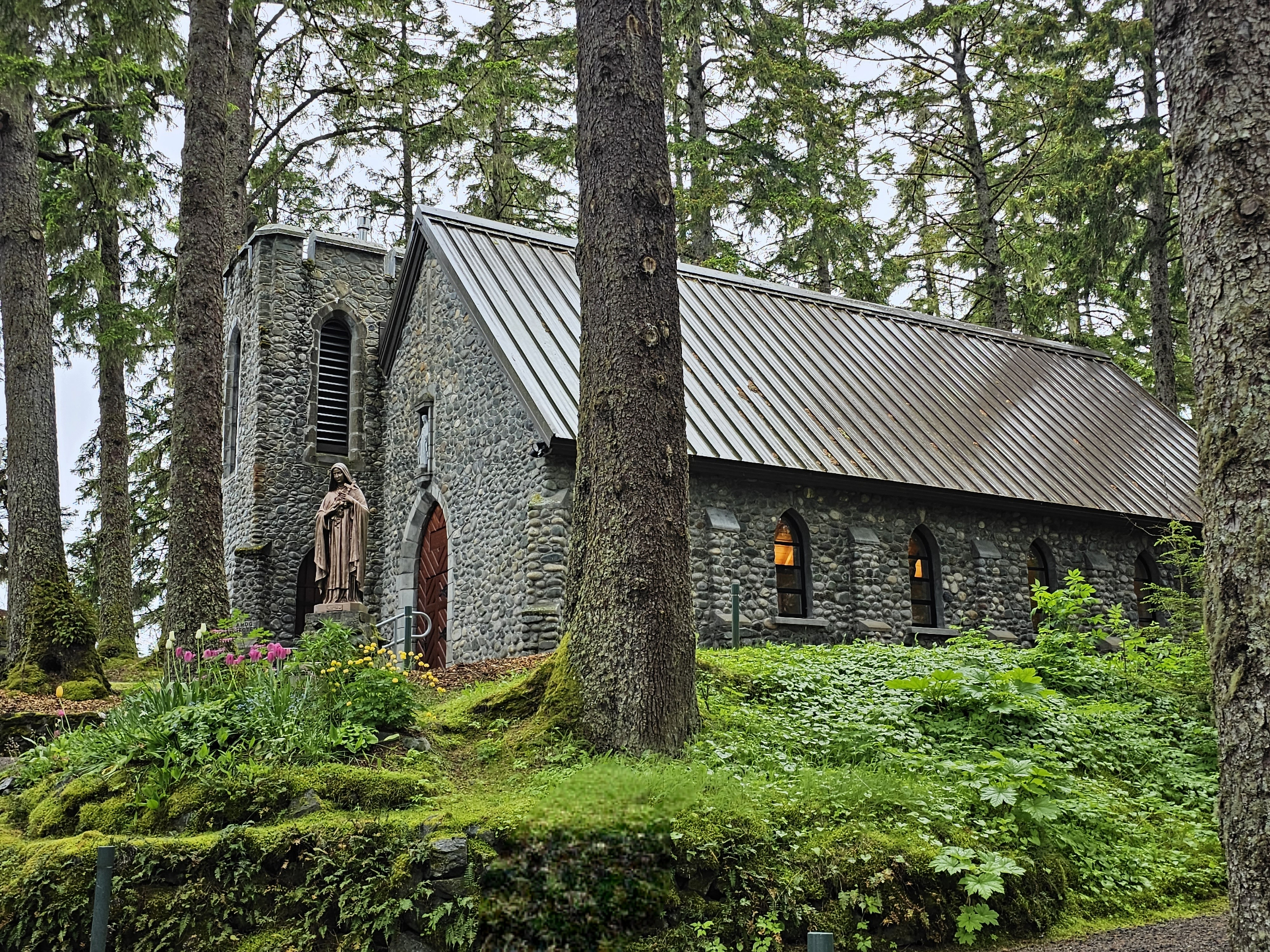
The Shrine to St. Therese, taken by me, before the rain started coming down.

While Thursday was a litle suspect, weather-wise, Friday was a good old fashioned southeast Alaska day: heavy rain and 50 degrees. This was also the day that I had initially intended to check out Glacier Bay National Park. Thankfully during the layover on the way up, I was able to get everything rebooked for a Sunday visit! So, instead we did rainy day things! After a nice breakfast at The Rookery Cafe, not too early, we headed to another brewery nearby in downtown called Devil’s Club Brewing Company. They have some damn fine beers as well, check it out for sure! As you can imagine, with all the mountains around there are many trails to explore. Even with the rain, we did a simple, not terribly long, yet pretty hike called the Gold Creek Flume Trail. This trail is accessed pretty much from the downtown area and follows an old creek that I bet used to be a gold panning creek (big brain!?). The trail itself looks to have been an old transport rail and is generally flat and very easy. After the hike and a revisit to the Hangar, we drove back to Douglas Island and drove the road north a bit. We explored a bit of the ski resort area, closed for the season, of course, and found a cool waterfall near the end of the road!
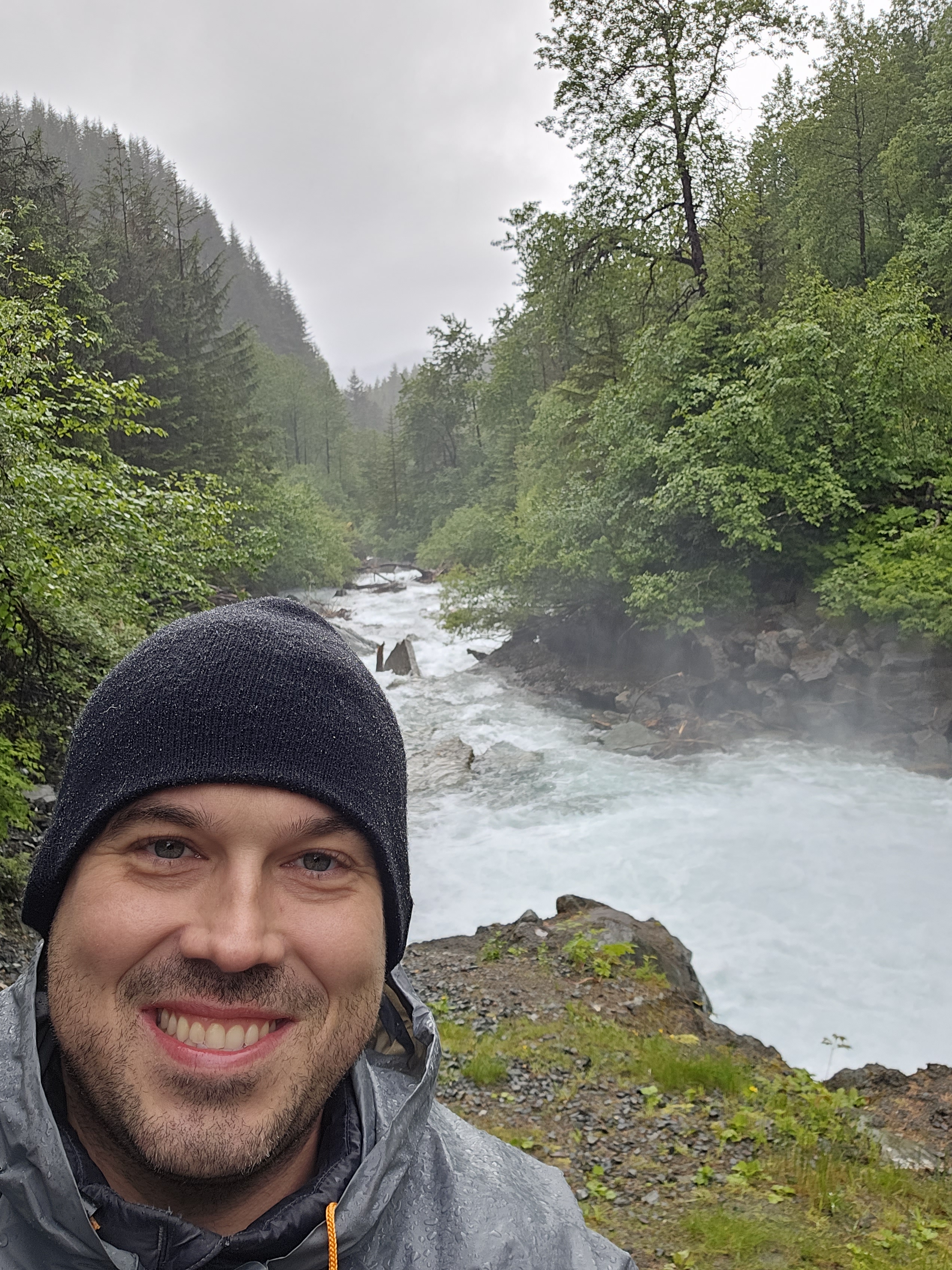
Water rushing down Gold Greek. The trail runs parallel, but crosses the creek at the end before continuing on to Mt. Roberts.
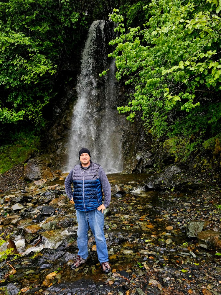
Waterfall found near the end of the Douglas Island Road. Taken by the Sidekick.

Saturday was the first of three absolutely stunning days! We planned to explore the Mendenhall Glacier, the real Juneau showstopper, and planned accordingly to spend half of the trip in lodging nearby, so this was the day to change locations. The glacier was neat to view, but it has retreated so much that the best view is from the visitor center viewing platform. To access the glacier you need to kayak, as trails only take you to other viewpoints. There is however, one cool feature to hike to: Nugget Falls. This waterfall is pretty impressive! It only exists because of the glacier’s retreat and is found at the end of a pretty easy, mile or so hike. If you want to see the area without a huge crowd, get there early to beat the cruise ship crowd! After adventuring around the we headed back downtown to check out another must do in Juneau: Deckhand Dave’s Fish Taco food truck. Legit, this is a must do in the area! The Sidekick is vegetarian, so while the place is called a ‘fish taco” joint, this is actually a food truck/bar “area” with several options that suited her, while I got shrimp tacos that had been harvested that morning from Skagway! When I say get there at opening at 11 AM, you should! We were there a bit early and still had to wait in line. At 11 the line for the fish taco truck was about 20 deep! Next up was the bigger more strenuous hike: Mt. Roberts. This trail is actually a continuation of the Gold Creek Flume trail we hiked earlier in the trip. This trail leads up the mountain that overlooks the Gastineau Channel above Juneau. There is an aerial tram that also leads up to the mountain from the cruise ship terminal. It is quite pricey at 50 dollars up, but if you hike up, and tram down it’s 10 bucks, or FREE if you spend money at the restaurant/bar/gift shop at the top. Most people do that, and so we did as well. After reaching the tram station, the Sidekick decided to chill at the restaurant and I continued about another half mile or so up the trail to a beautiful scenic spot called Nolan’s cross. This spot is gorgeous in every way! Definitely a highlight for the entire trip! The trail actually goes on for many more miles but this was my ultimate destination, so I met up with the Sidekick and we called it a day to prepare for an early morning.
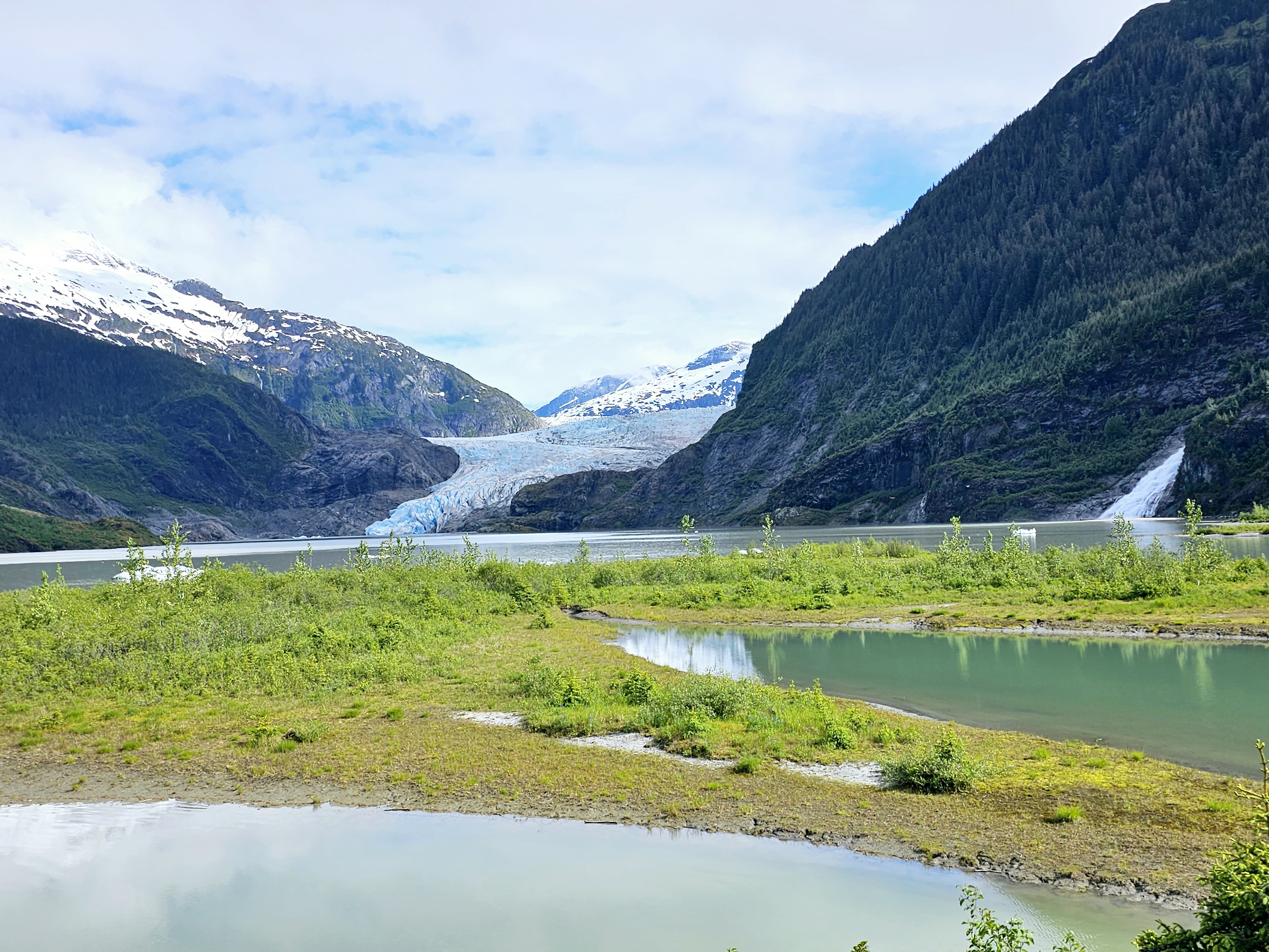
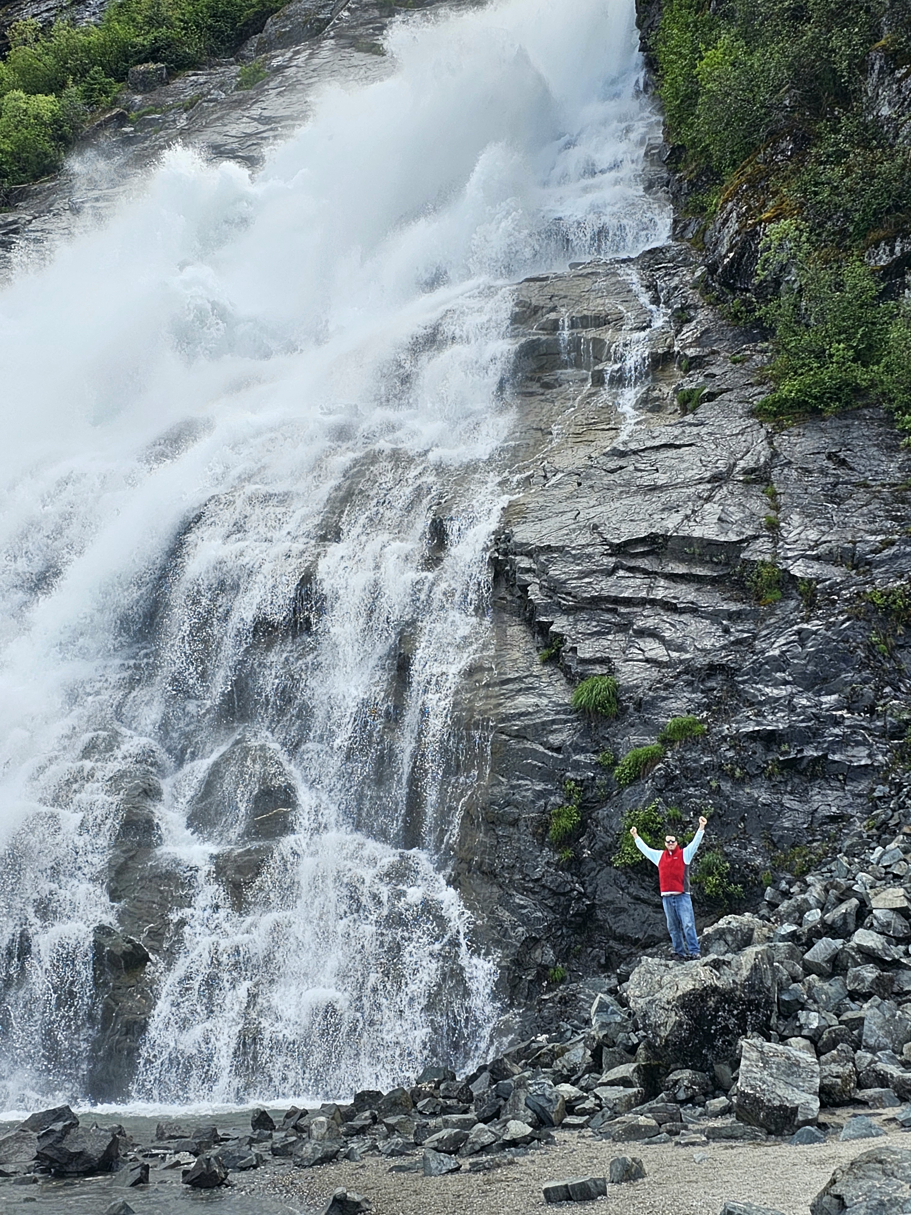
Mendenhall Glacier. I took this from the short viewpoint trail. If you have accessibility issues, this was a pretty easy spot to get to. Nugget Falls is on the right side here.
The Sidekick got this shot of me in front of the falls!
Totem pole I snapped a pic of on the Mt. Roberts Trail.
View down the channel looking at Juneau on the right and Douglas on the left. Taken by me.
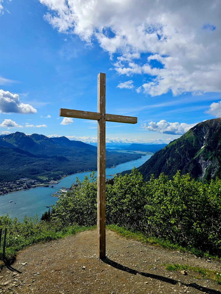
This is Nolan’s Cross on the Mt. Robert’s Trail.
This is the tram up to the mountain. Or rather this was coming down since we hiked up!

Sunday was yet another stunning day! The Sidekick and I hopped on bush plane and flew out to Gustavus, AK to visit Glacier Bay National Park. This is one of the 63 “big” National Parks, and one of 8 found in Alaska. This one requires some hoops to get through, but due to its proximity to Juneau, other than some money, it’s not terribly inaccessible. Follow the link to read the separate entry for this side adventure!

Monday was our final full day in Juneau and it was another day of amazing weather. We rented kayaks for a 4 hour self paddle through Auke Bay. The rental was an ocean kayak. I own one of these myself, it’s about 18 feet long, and they absolutely do not handle like a sit on top or a canoe. I only mention this because the bay is home to active yachts, fishing boats, and pleasure boats. As far as we understood there is no wake-free area in the bay, so attentive navigating is needed to deal with those swells in sub-50 degree water. I am happy to report that the “8 Days Without a Capsize” sign the outfitter displayed did not need to reset when we returned! The kayak trip was a couple miles and took us to an island for a snack and a beer. The tide comes in CRAZY fast here, so our stop was brief before the shore disappeared! After an uneventful return paddle and a low key afternoon, it was early to bed before a midnight wake up call for the airport and this trip was in the books!

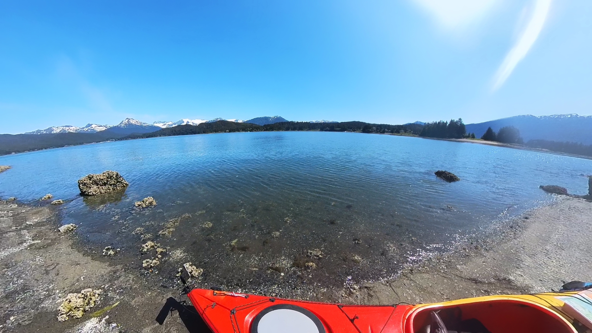
Yakin in Auke Bay!
From the island we landed on in Auke bay. We were there for about 15 minutes and had to move the kayak twice from the rising tide

Overall Impressions: I found Juneau to be super cool and a perfect place to visit. I strongly feel a visit here needs to be longer that a mere cruise ship stop. There are definitely enough things to occupy several days and if you have to contend with weather issues, you will want those extra days for sure! Be prepared to open your wallet. Alaska is expensive in general, but getting to Juneau seems to be even more so. I would absolutely love to come back, but I also absolutely want to visit some of the other little towns scattered around, so unless a stop over in Juneau is a part of that trip, I am uncertain that I will make it back here. It’s a beautiful place though, so go check it out if you can!

The Adventurer’s Rating: 5 Arrowheads!
Glacier Bay National Park, AK June 2023

National Park Count: 34

Hey there adventurers! I am a little behind on my posts! There will (hopefully) be a slew of them coming up! Today I begin with the day trip tour the sidekick and I took to Glacier Bay National Park in Alaska earlier this summer! This marks my 34th National Park and my 4th, of 8, Alaskan park. This park is mostly inaccessible and you are not going to find trails or many *easy* activities at all. If you want to see the park you must do it by boat or plane. If you want to *really* see the park, some people take a kayak trip for a few days, camping along the shore as they go. Some people stay at the lodge and do some smaller private charters into the bay. We flew in from Juneau for the day to do the catamaran tour offered by the Glacier Bay Lodge inside the park.

Not visible are the countless skeeters…
Yaa Naa Néx Kootéeyaa, or the Healing Totem Pole. This was designed and created by Tlingit elders, cultural advisors, and artists. If you look closely, toward the bottom you can see a record of the ice encroaching and destroying the village that used to be here, driving the native Tlingits out. That was only 250 years ago!

Before sharing the highlights I want to definitely plug Alaska Seaplanes, TLC Taxi, and Glacier Bay Lodge and Tours! Most people who experience this National Park do so from the comfort of a large cruise liner as part of a much longer cruise trip through Alaska’s Inner Passage (Note: only certain cruises are allowed by the NPS to enter the National Park, so plan accordingly if you do this). The day I was scheduled to do this day trip ended up being a total rain out. While en route to Juneau, the Sidekick strongly suggested I do my damnedest to reschedule as the days after were all forecast to be awesome. I was going to be doing this on my own, but with how nice the future weather looked, she decided to also come along. Alaska Seaplanes had no problem at all changing the day of my flight. Due to timing, we had to fly one way with them and fly Alaska Airlines back (using points meant free and easy rebooking with Alaska). The Lodge charged me a small 10 percent rebooking fee for the cruise, but that was it (note that this was only possible being more than 72 hours out), and TLC Taxi was able to squeeze me into the new date. The reason the taxi situation was pretty important was due to this guy being the ONLY ride option, the flight options in and out of the town of Gustavus are close to the cruise times, and the “airport” to the cruise boat is about a 30 minute drive…so all pieces needed to work, and they did!

We were in Juneau first, and booked this day trip from there. The tour was 8 hours, the entire trip about 12 hours altogether. The tour cost was average for an Alaskan excursion- about $250 a person. The flight out on Alaska Seaplanes was another $200-ish a person. Miles on Alaska Airlines coming back made that flight free…but I think the cost was like $169 or something if paying dollars. The taxi was about 50 bucks a person round trip. The flight to Gustavus, 60 or so air miles away, was about 30 minutes on an Alaska Seaplanes 8 seater. This being the middle of nowhere Alaska, the only way is by air or, much longer, by boat. The flight was great – beautiful scenery, of course, and soon enough we were back on the ground. Gustavus is the gateway town for the national park boasting a population of about 600. The roads are surprisingly paved and there are *some* services in the town, but generally speaking, it’s a remote town with little life comforts, and that’s ok, we didn’t need that. After deplaning, the driver was waiting at the airport for us and we made it to the boat dock about an hour or so before departure time.

Video I took of the approach and landing in Gustavus.

After a good 30 minutes waiting on the dock, suffering the wrath of Alaska’s state bird (the deet was safely stored back in Juneau…), we were on the boat and off on the cruise. Of course I was stoked – this being another National Park visit! At the moment, the National Park Service only allows this one operator to do this large scale tour, so it is the only option to see the park unless you are looking for a private charter. The weather was AMAZING but I was a bit disappointed that the catamaran only had outdoor standing areas on the back of the vessel, and the top deck giving the 360 degree views is only utilized sparingly, when the vessel is sitting. That being the case, the windows on the vessel were large and mostly uninterrupted and the views were still good.

The Fairweather Range rising off in the distance.
Mt. Fairweather itself. It’s about 70 miles or so away from this vantage point at the dock area.
Here is the path the ship takes from dock to the end of the bay. You can also see the markings of the glacial extent and the year it was there. Notable is that the dock we left from was completely under ice as recently as 1794.

Glacier Bay is the same story as most of the world’s glacial areas: melting and retreating. Only a mere 200 or so years ago natives left the Gustavus area due to the ice being a problem for them. Now, the glacier that carved the bay is some 70 miles north. That is the destination of the tour. Upon setting out the views and scenery are spectacular! At one point the ranger pointed out that Mt. Fairweather was visible and they hadn’t seen it in weeks. This mountain marks the boundary of the US and Canada, is part of the National Park, and is 15,300ish feet in elevation making it the 7th highest peak in the United States! I also got a great view of it from the dock later in the day! Also, the wildlife viewing was awesome! We saw many whales, puffins, golden seals, mountain goats, sea otters, and tons of other birds, including some eagles.

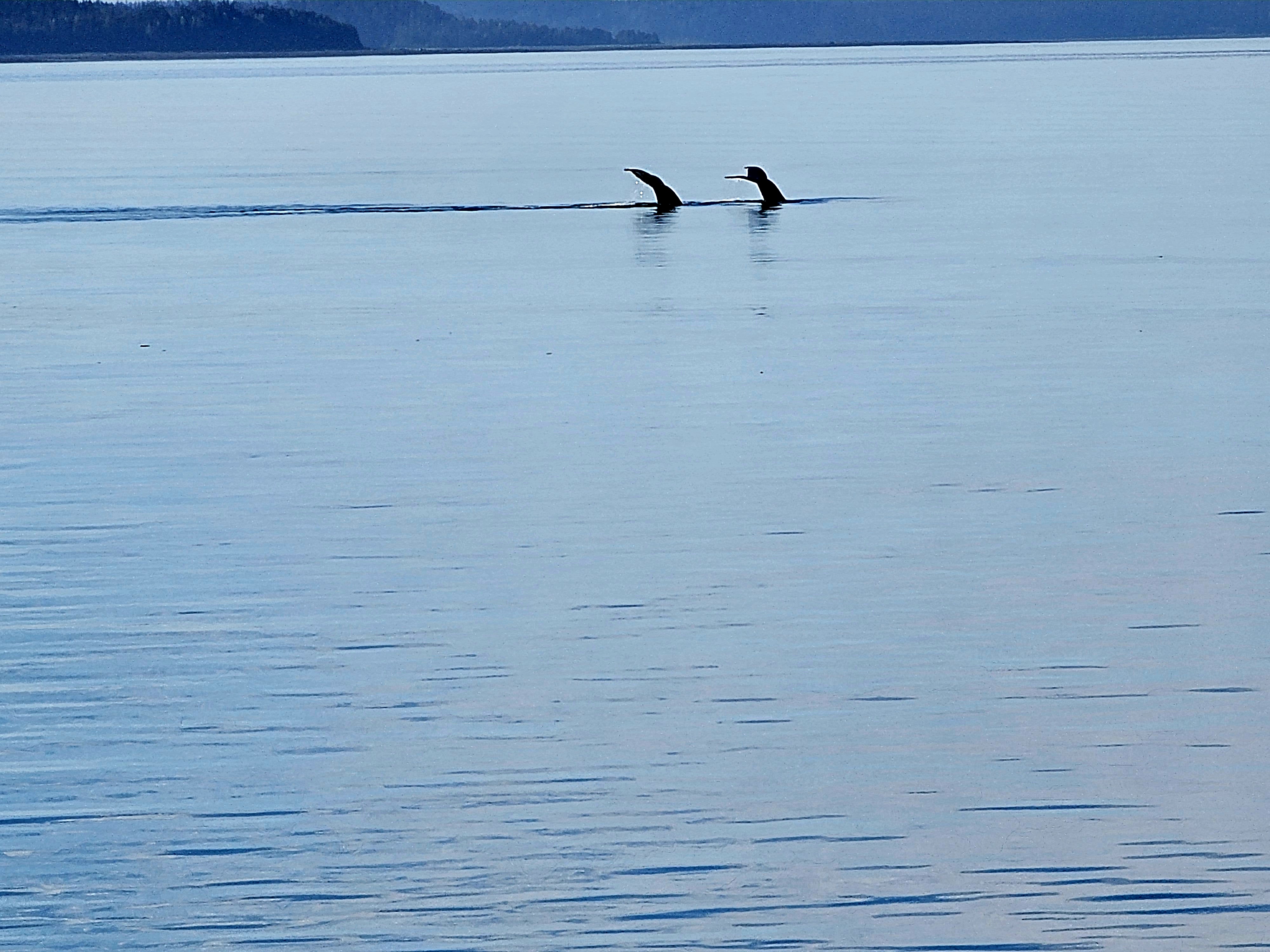
Two whale tails!
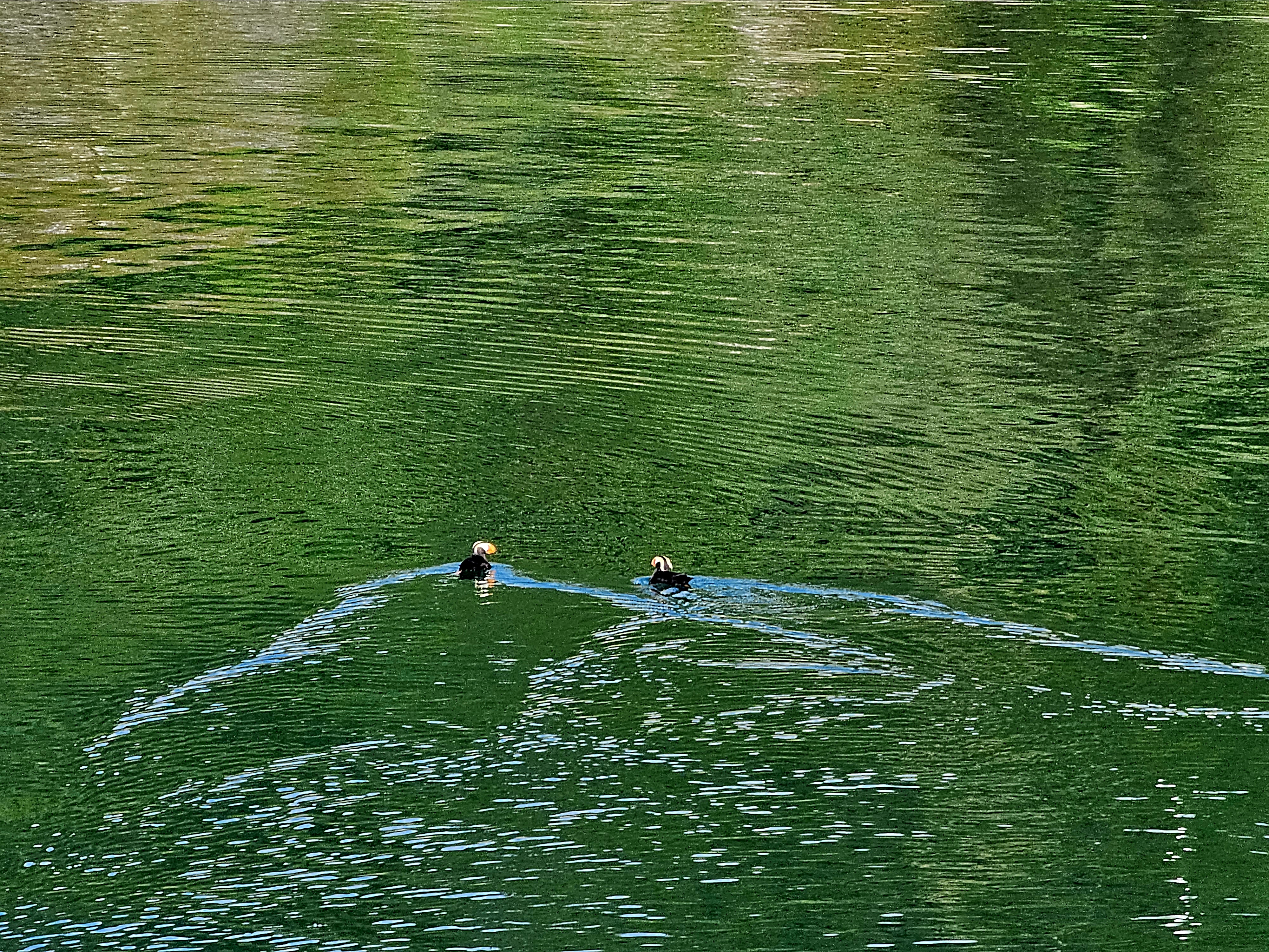
Two puffins!
Chillin.
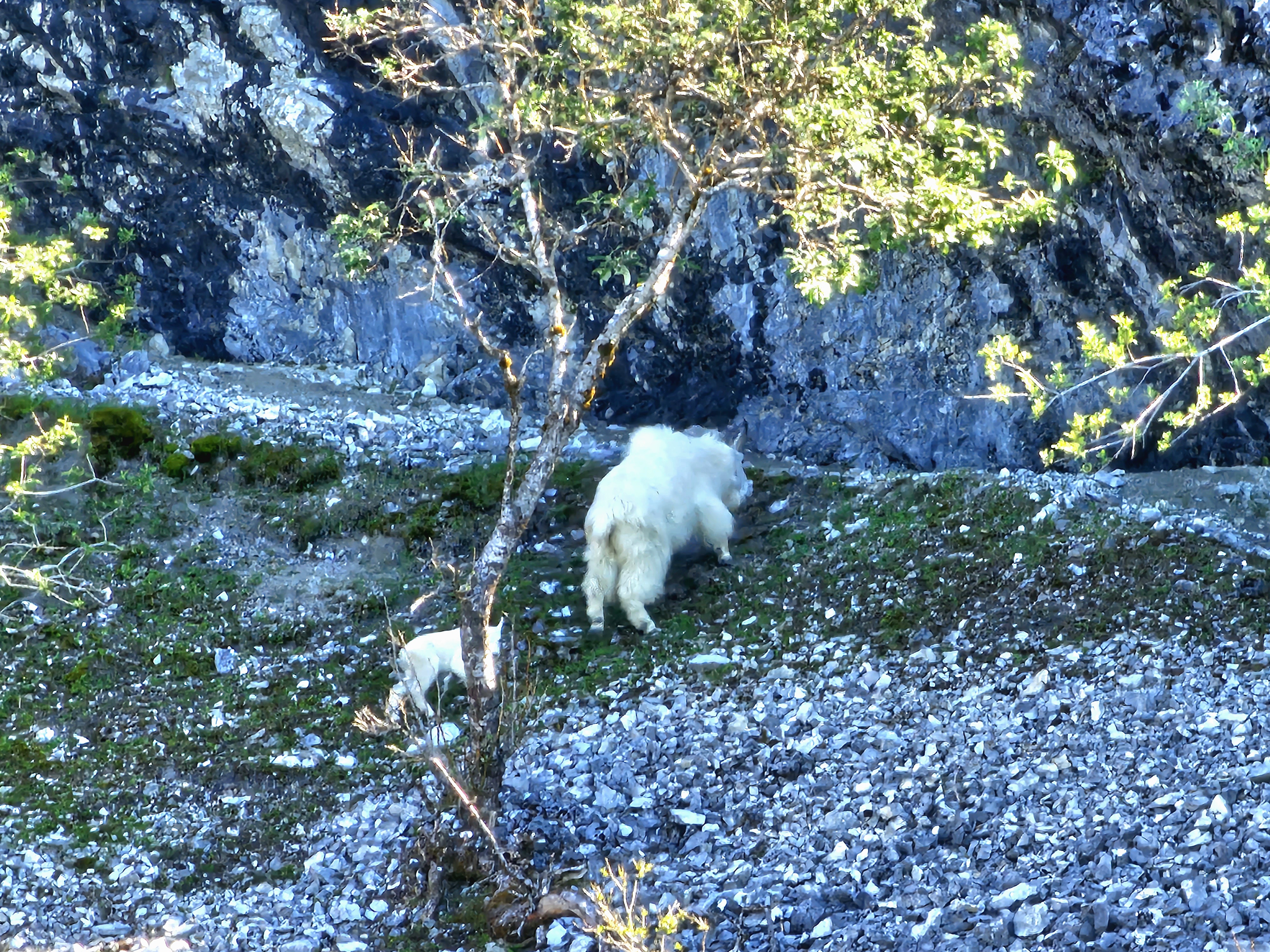
Mom and baby! They were really far away, and this was that telephoto on the phone! It’s not the best, but definitely better than probably any other phone camera!
Lof of chillin animals in Glacier Bay! These are steller sea lions.
More sea lions with otters splashing about!
Short video of some of the wildlife. If you listen carefully you can hear the sea lions! One was being very noisy! He was louder in person than in the video for sure!

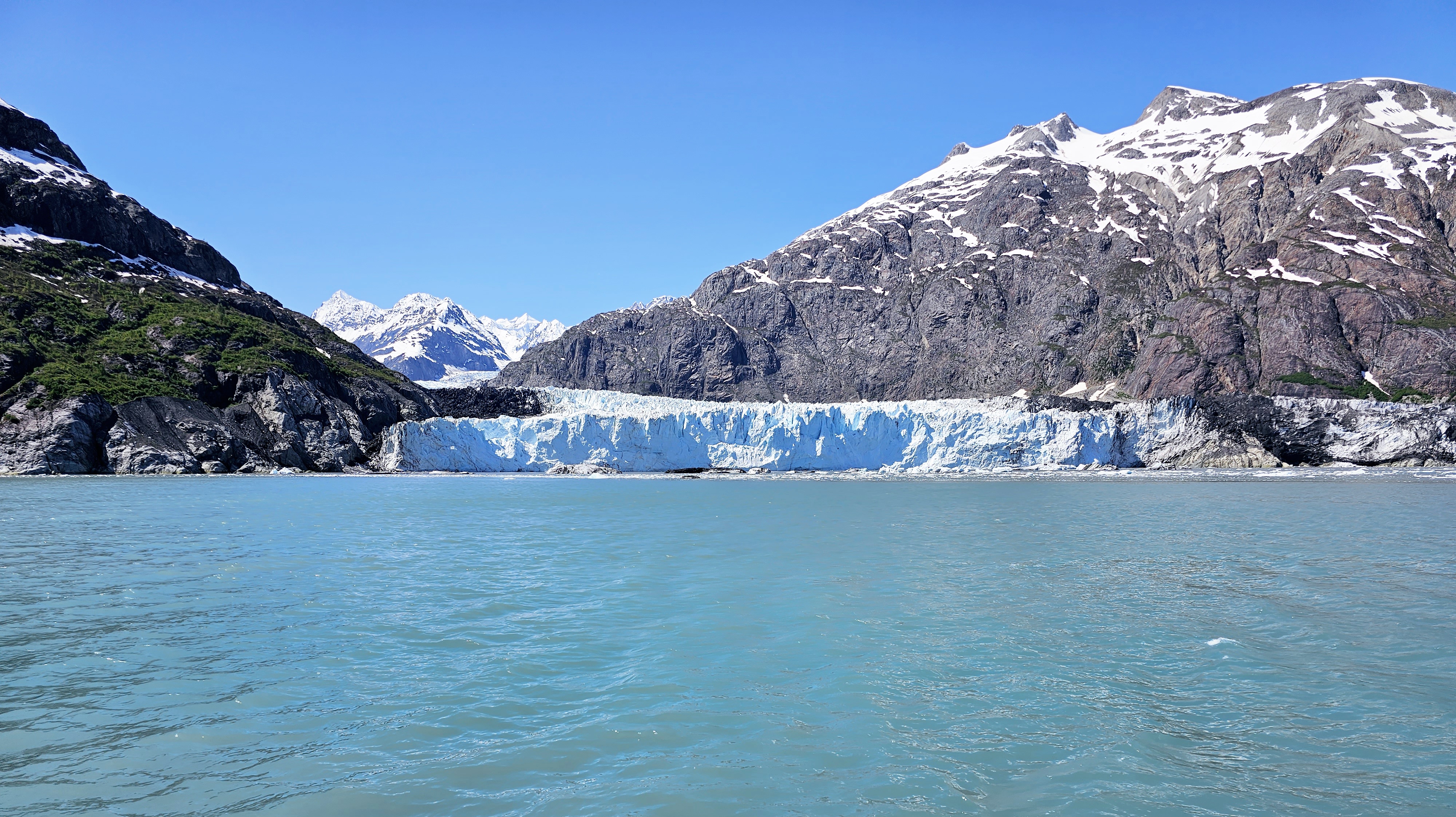
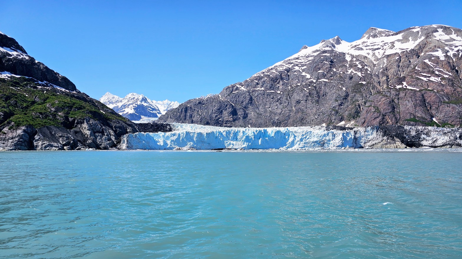
The trip up the bay took 3 or 4 hours and once we got to the end of the bay we saw the extent of the glacial retreat. From our vantage point here 2 glaciers were visible. The main draw now is the Margerie Glacier which is the beautiful white and blue tidewater glacier that still reaches the water, coming in from the west. The bay, however, was carved by the Grand Pacific Glacier. This one is also here at the perpendicular, coming from the north However, the ranger on the ship informed us that it has retreated so much that essentially is no longer reaches the bay and the glacier we were actually looking at is one called Ferris, which used to flow into the Grand Pacific but now the entire ice front that is visible is this one. This glacier is dirty and rocky, looking little like the ubiquitous glacier view and more like a dirty levy. The glacial retreat here is shocking and we were informed that it has happened so fast that the land here is rebounding upward at 30 plus mm a year, the fastest of any place on earth. It was mentioned that there is a spot near the docks that used to be at mean sea level in the middle of the last century but is now 5 feet above mean sea level, 75 ish years later.

Margerie Glacier, which is now the main glacier draw.
Closer view of the glacier.
In case you have a great affinity for ice…here’s a super close up!
In this picture you can actually see the dirty part of Margerie Glacier under the green plants. As you move your eye to the right what looks like a dirty hill is actually the terminus of the Ferris Glacier. Until relatively recently this would have been the Grand Pacific Glacier, which has now retreated so much that it is now behind the outflow of Ferris and no longer tidewater.
Short video showing the glaciers at the end of Glacier Bay.
Reid Glacier, another smaller glacier seen from the tour.

Overall Impressions: Beautiful and awesome place! But, more of a hassle and pricier for an experience that can be very similarly had with a lot less hassle and a lot less expense only a few hundred miles away at Kenai Fjords. The NPS is keeping this place pristine and untouched and that’s a great thing! But there are also very few things to do other than this boat tour unless you want to tackle the kayak camping option.

The Adventurer’s Rating: 3.5 Arrowheads!
Quick Sequoia and Kings Canyon

Hey there Adventurers! I promise I will get caught up soon! In the meantime here are a couple pictures from Sequoia and Kings Canyon National Parks. In a few days I will be headed back to Cali! I initially had an 8 day 3 national park trip planned. However, I was feeling uncomfortable being away from my Bark Ranger Bella for so long again, so I shortened to 5 days and 2 parks: Lassen Volcanic and Redwood. Stay tuned for pictures from those parks soon!

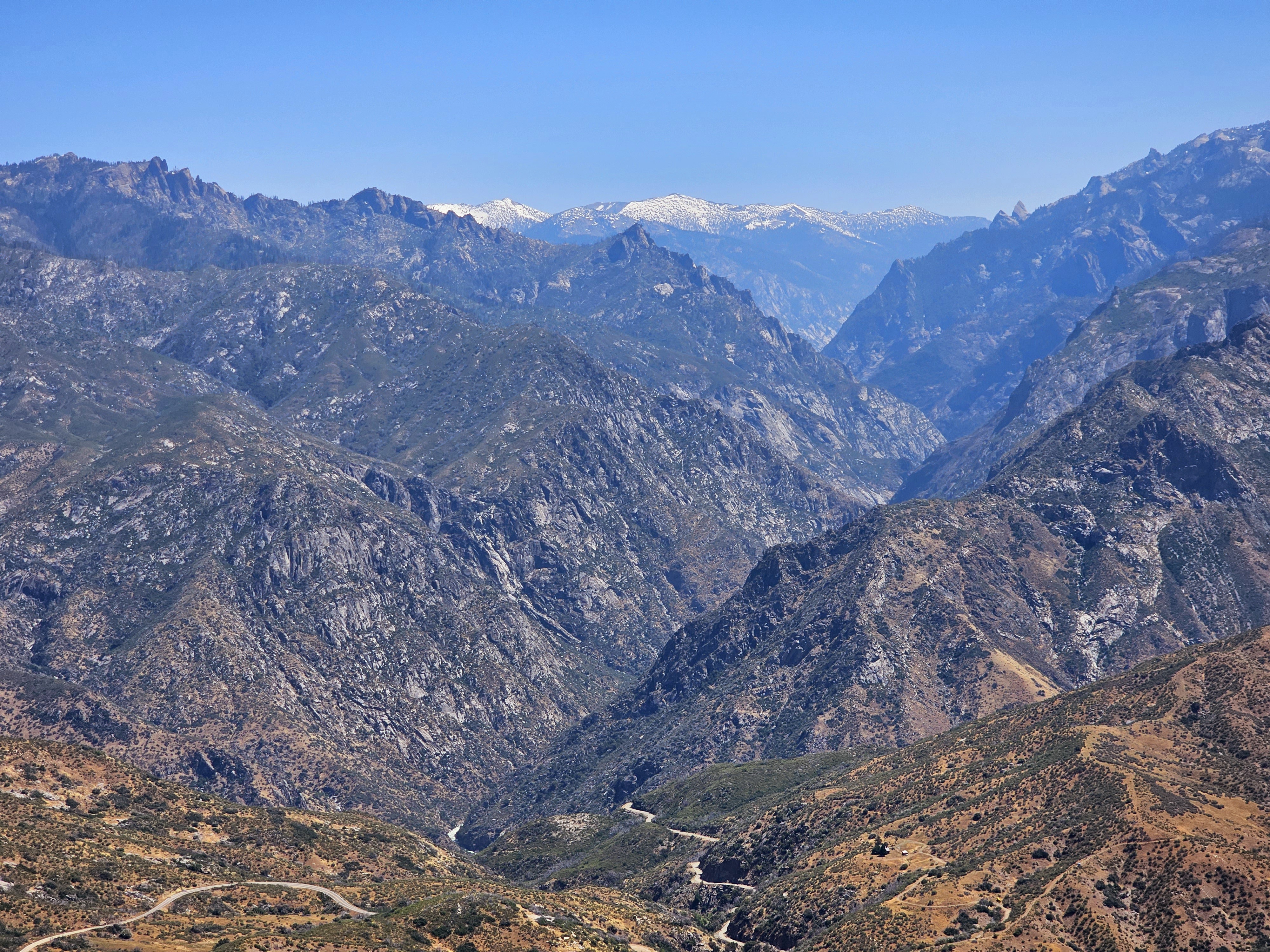
This is Kings Canyon taken from Hume Lake Road. The road in the picture goes on a ways but unfortunately, the storms earlier this year wreaked havoc on these two parks and most of the KIngs Canyon Highway is closed for the year. Just getting to this spot was an unexpected perk, however!
Some of the beautiful yellow flowers in the area, complete with a bee!
And these gorgeous purple flowers are around too!
And the star, General Sherman, the world’s largest living thing! (Meanwhile this picture looks amazing on my Samsung but not so good here, I’ll try to figure that out!)

Juneau, AK and Glacier Bay National Park.

Hey there Adventurers! So I have been a little light on posts recently: My apologies! I assure you there are many coming! The sidekick and I just got back from an awesome trip to Juneau, AK! And we are headed to California in a couple days, and then I am going back to California for a mostly camping/national park trip later in July! In lieu of a proper post, for now (it is in draft form and I don’t think it will finish before the next trip!) I wanted to share a couple pictures from the very recent trip to Juneau and Glacier Bay National Park! Thanks for reading and enjoy!

This first picture is Mt. Fairweather, in Glacier Bay National Park. The summit is the border between the US and Canada. The park ranger on our tour said they hadn’t seen the mountain in a month! This picture is taken roughly 70 miles away, and the mountain is merely the 7th highest peak in Alaska. Which makes it at least 1000 feet taller than every other mountain in the other 49 states! I took this with my new phone and I think the camera on this phone is doing a pretty good job!

And this picture is more of a poignant one. The sidekick and I hiked up this mountain a ways and she stopped at tourist stop a little down below. I continued up this trail on Mt. Roberts in Juneau and found this cool spiritual spot!

There will be more to come soon! Up next is a trip to California with the sidekick. We are visiting Kings Canyon and Sequoia National Parks as well as some LA area exploring! Only a week after that trip finishes I am going back out to Cali and doing a camping trip at the No Cal parks and Crater Lake in Oregon, so stay tuned!

US Bark Rangers of the United States National Parks

Hey there Adventurer gang! I just want to provide an exciting update about BARK Ranger stuff! The official US Bark Rangers of the United States National Parks page now boasts over 1600 members with an average of 150 interactions every day! Super exciting stuff!

We are also selling a beautiful vinyl sticker of our logo!! Additionally, we are actively pursuing the development of other items in the near future as well! If you are interested you can drop a message in the comments, or you can check out our ebay page. We have two different sizes to choose from!

In case you are wondering: What is this Bark Ranger stuff? BARK is a set of expectations that humans and their dogs (and we have one very well traveled cat in our group!) should follow when experiencing the beautiful outdoors in our beloved national (and state) parks! Some of the parks even offer a “program” of sorts to earn a unique badge or certificate to prove Bark Ranger status! Our amazing group is composed of members who love taking their fur kids to the parks and promoting the program. One of our members even worked with Ninety Six National Historic Park in South Carolina to create their Bark Ranger program! Check it out here! I cannot imagine a more perfect expression of the mission of our group!

If you are a dog lover and a park lover, be sure you join our group! We would love to have you and your knowledge of dog friendly things for the areas you live in or have visited with your pups! The sidekick and I are planning a weekend trip the end of this month to take our girl dogs to Timucuan National Ecological and Historic Preserve near Jacksonville, FL, which has a Bark Program! We are hoping to bring some good first hand info to our group! Stay tuned for the post here for that trip!

Virgin Islands National Park St.John USVI. March 2023

National Park Count: 33
NPS Unit Count: 61 (if you are wondering why it jumped a lot since the last entry…I realized during this post that I had been forgetting the “National Parks” in the NPS Unit count. So 61 it is!

Hey there Adventurers! After a long hiatus the Sidekick was able to rejoin me on a new national park quest: an extended weekend trip to the Caribbean to visit Virgin Islands National Park! This trip marked a number of firsts for me in addition to netting National Park 33, and an additional national park unit as a bonus! Our itinerary was as follows: a bonus evening late in San Juan, fly to St. Thomas the next morning, catch a cab and then a ferry to St. John, hang in St. John for 2 days and 2 nights, and day 3 return to St. Thomas for the day before returning to San Juan for a bookend evening, and an early morning flight back to Florida.

If you are going to St. Thomas, you can fly directly there on some airlines. Because I have some good perks with Southwest Airlines, we flew into San Juan the night before and took a 30 minute Silver Airlines flight to Charlotte Amalie, St. Thomas the following morning. This trip marked my first time ever visiting a territory of the United States, and here I got in two of them! The language of the VI is English, but the driving side is left, using an American side steering wheel, and the roads are narrow and a lot more mountainous than you might think! Anyway, the best and easiest way to get to St. John and the national park is to take a ferry from the east side of St. Thomas, an area called Red Hook. The islands are quite small, and Red Hook is only a handful of miles from the airport, but be prepared for 30 a minute drive with the twists and turns of the road! Also, note that taxi cabs here are not private, but leave when they are full or it makes sense to leave. From Red Hook the ferry is fairly inexpensive and a short but beautiful 4 miles or so, 15-ish minute trip to Cruz Bay.

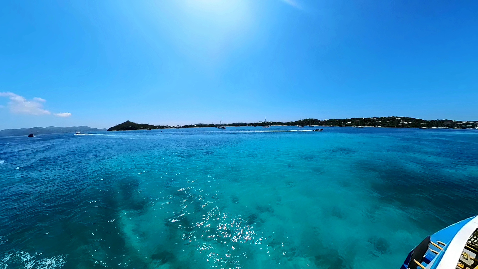
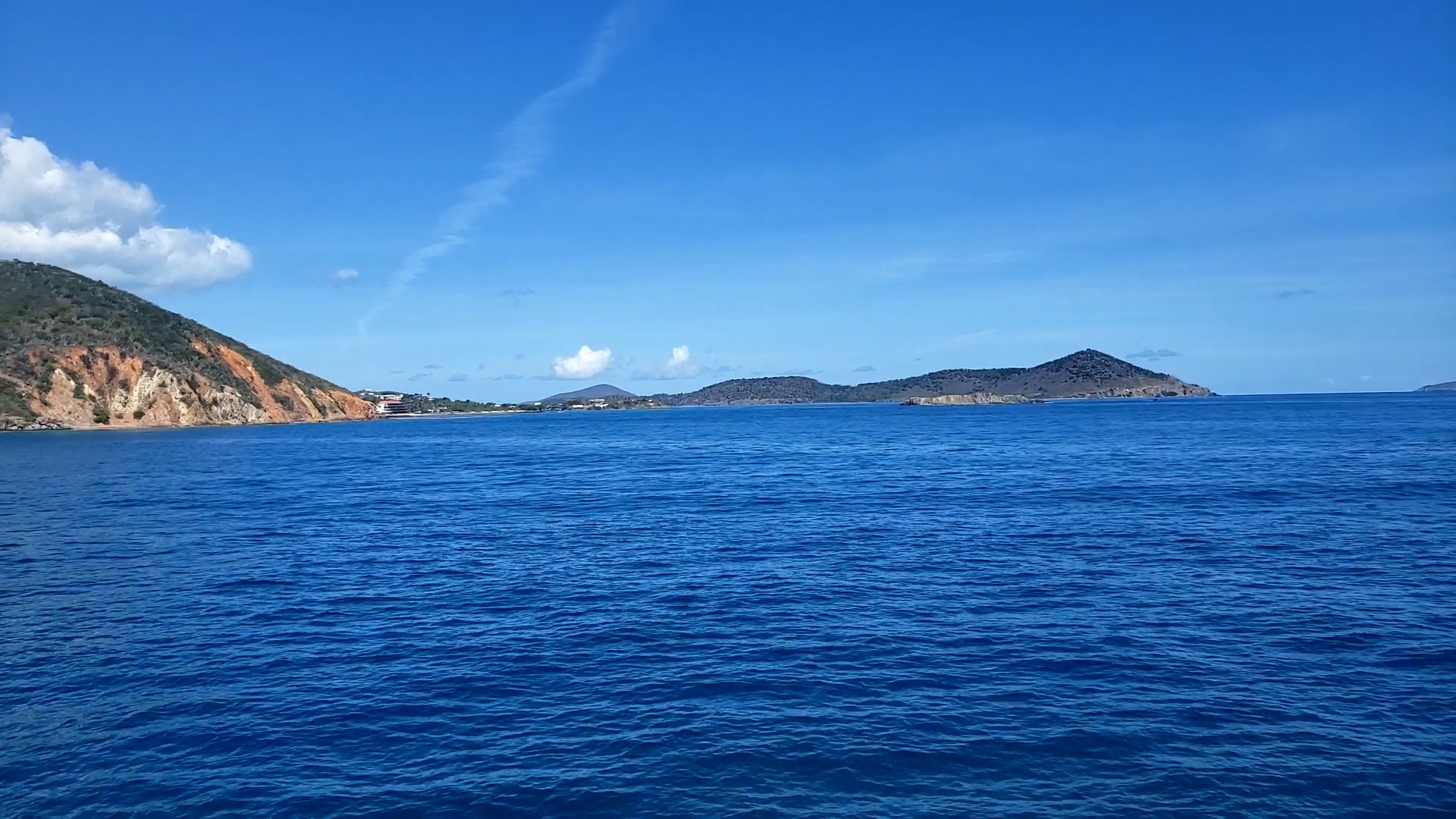
Expect to see this view on the ferry from Red Hook to Cruz Bay! Taken by me.
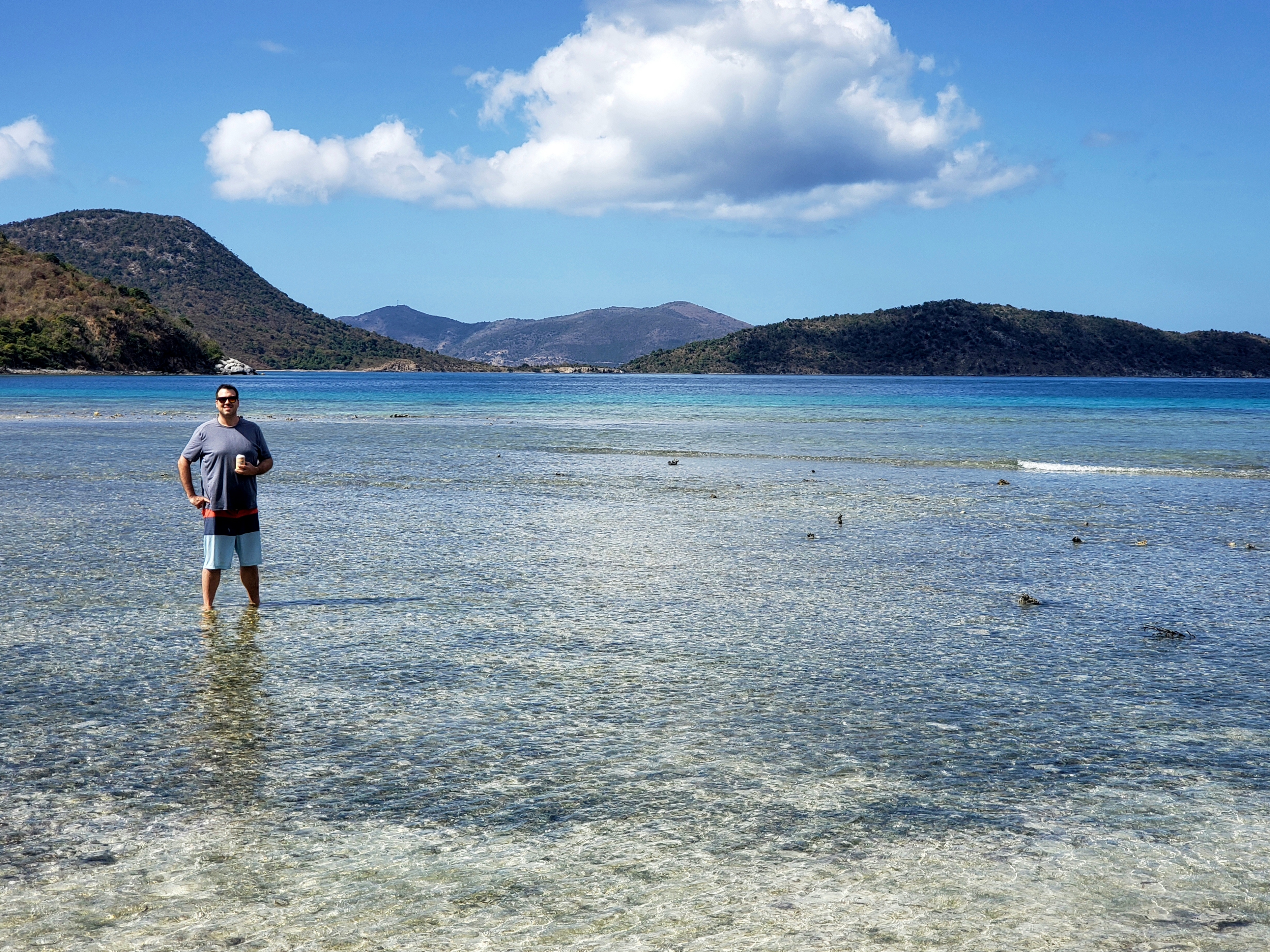
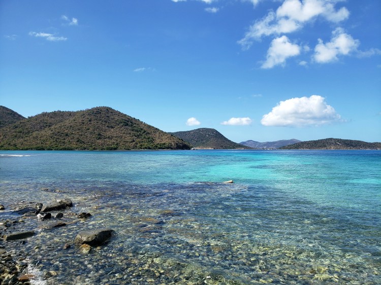
This is the view from the other side approaching St. Thomas. The water here was super clear! Taken by me.

St. John is little different than the usual National Park. This small, but beautiful island is almost entirely National Park land once you get a short distance out of the ferry town of Cruz Bay. That being said this is a working, inhabited island with businesses and services. The island is crossed mainly by two roads, one that goes along the northern length of the island/park, and another that bisects the island/park and is what the locals use to get from side to side. Most amenities are found along this central road, or in Cruz Bay proper. Both roads eventually lead to Coral Bay, the bigger area of the east side of the island. We didn’t make it out there, but there are amenities there as well. We got very lucky and snagged a rental (4 WD/AWD is a must here) the morning we flew out! For a few months I had been looking and couldn’t find anything available. The big issue is that most outfitters (they are all local St. John businesses) require at least 3 day rentals and we only needed 2. I had been told that if you called the morning or two before that you might get lucky! If you do not get a rental, never fear, there are many taxis ready to serve you the moment you step foot in Cruz Bay! Other than the inconvenience of having to wait and maybe not stopping at small stops on your route, they are a very good and much used way around the island. I will say, however, that the rental was definitely the way to go for us!

A view of Cruz Bay, taken by me.

After stopping for some delicious bar grub at The Beach Bar, we headed up the northern road which starts pretty much at the National Park Visitor Center. The visitor center was damaged pretty badly during the hurricanes in 2017 and is still in repair mode. At the time, there was only one ranger working the park and he gets the weekends off! In other words, on the weekend, the Visitor Center might be closed! The road takes you through the park and along cliffs of the northern coast giving amazing views of the bays below. We skipped the hyper popular Trunk Bay. The parking lot was full anyway. Just for reference, this one has some services, is extremely popular for turtle viewing, and even has an underwater snorkel trail complete with markers and everything. As an aside, the weather was spectacular, but pretty windy and the water was rough – there was no underwater visibility anyway! A reason to come back? MAYBE!

Number 33! Not the most beautiful sign, and also not in a particularly scenic area, but you get what you get! Taken by the sidekick.
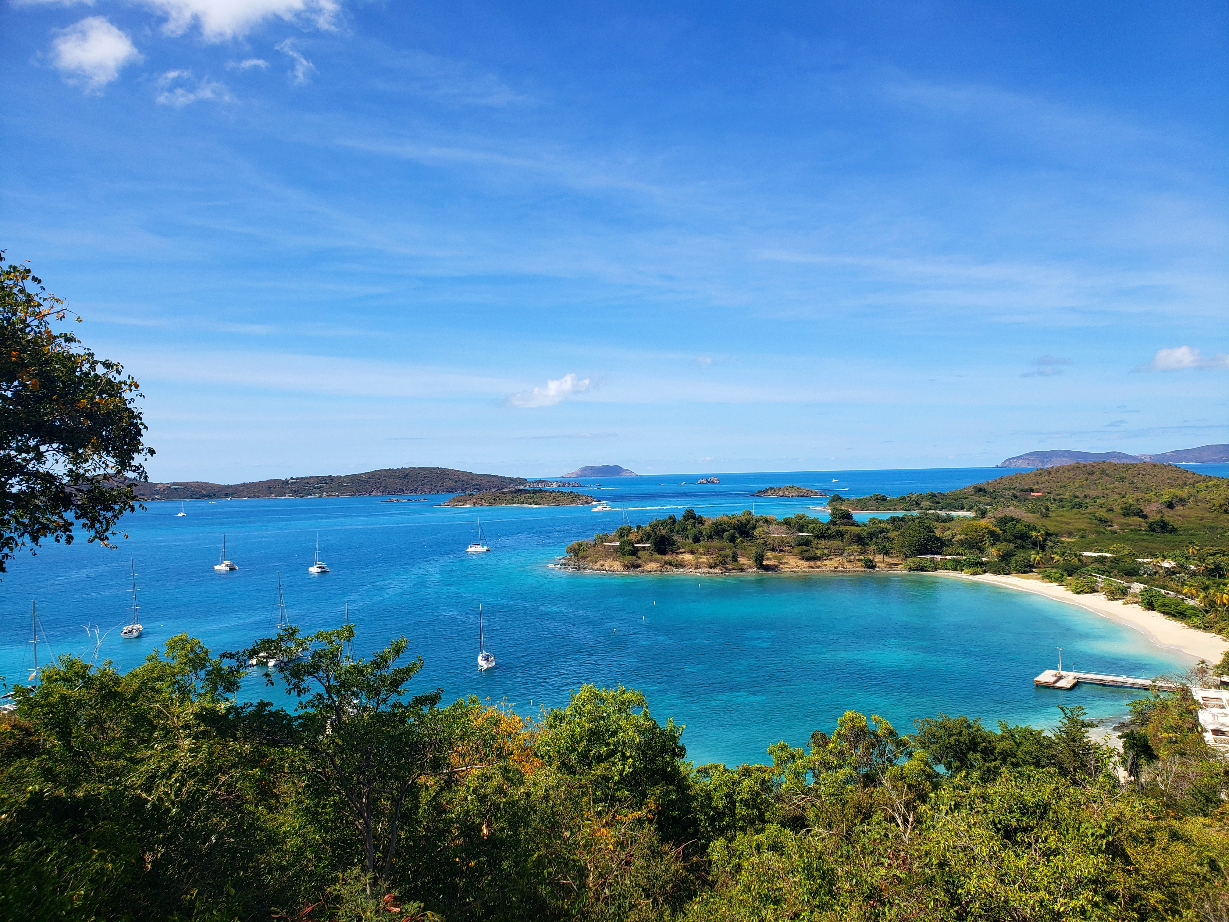
This is a view from an overlook. The foreground bay is Caneel Bay. The one in the background is Hawksnest Bay. That water is gorgeous! Taken by me.

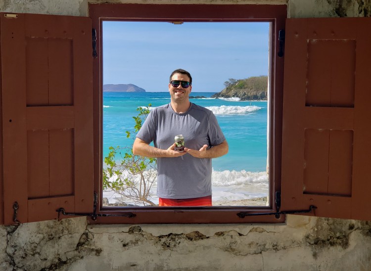
Cinnamon Bay was our main stop on this day. This is a big area with lots of parking because there is a store, a campground, showers, a food shack, and a water activity rental outfitter. The beach here is quite spectacular and offers probably one of the best photo op spots I have seen in a national park, in the form of a window from an old ruin looking out onto the beach. We got there in the early afternoon, and took a swim and walk around the area. It is spectacularly beautiful! The blue of this water is incredible! The water was a little chillier than expected and the waves were big and fun, but there was nothing to see under due to the wave action. Protip: a deflated inner tube can be packed easily in luggage! After a little driving around and exploring, we were done for the day and headed back to Cruz Bay for dinner. We lucked into a reservation at a delicious place called The Terrace. Very pricey, but great!

This is in front of the little general store at Cinnamon Bay. Taken by the sidekick.
This window and wall are all that’s left standing of an old structure here on the beach. It provides a great photo op spot! The
sidekick took this one!
The other side of the ruined wall and window. Taken by me. I might have been in an inner tube that I packed and brought with me.
Cinnamon Bay. Taken by me.

The next day we geared up and headed for Maho Bay just down the road a bit from Cinnamon Bay. This was a really nice place for many reasons, but you definitely need to get there early because its quite busy and the parking lot is small! This is another great snorkeling spot to see coral and turtles, but again the water was too murky, despite still being that gorgeous blue. This beach has a couple shelters with grills, a walk up bar, a food truck, a paddleboard and kayak concessionaire (due to the waves they were not renting), and some gift shops.

A delicious bloody Mary on the Maho Bay beach! Taken by me.
A water level view of Maho Bay. Taken by me.

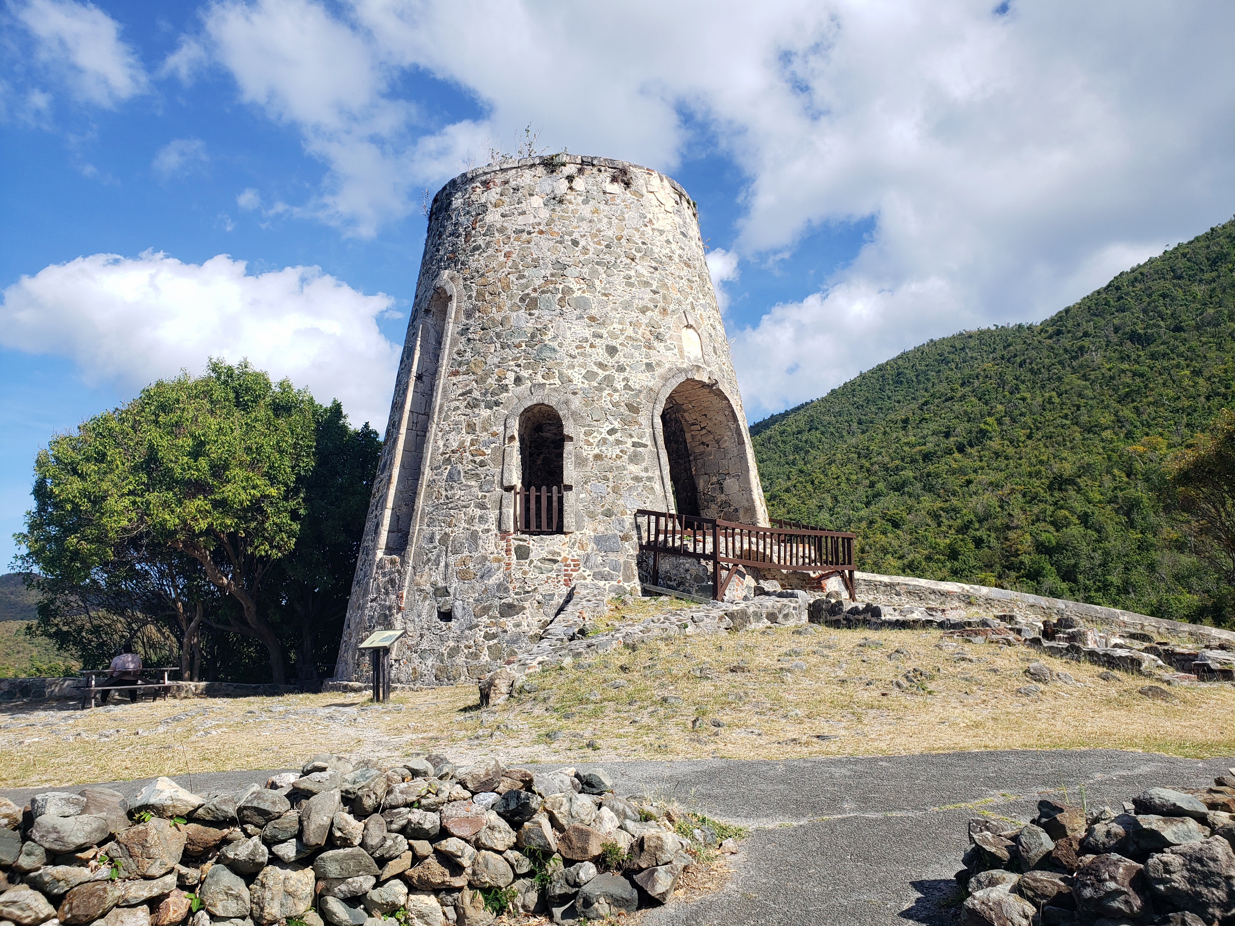
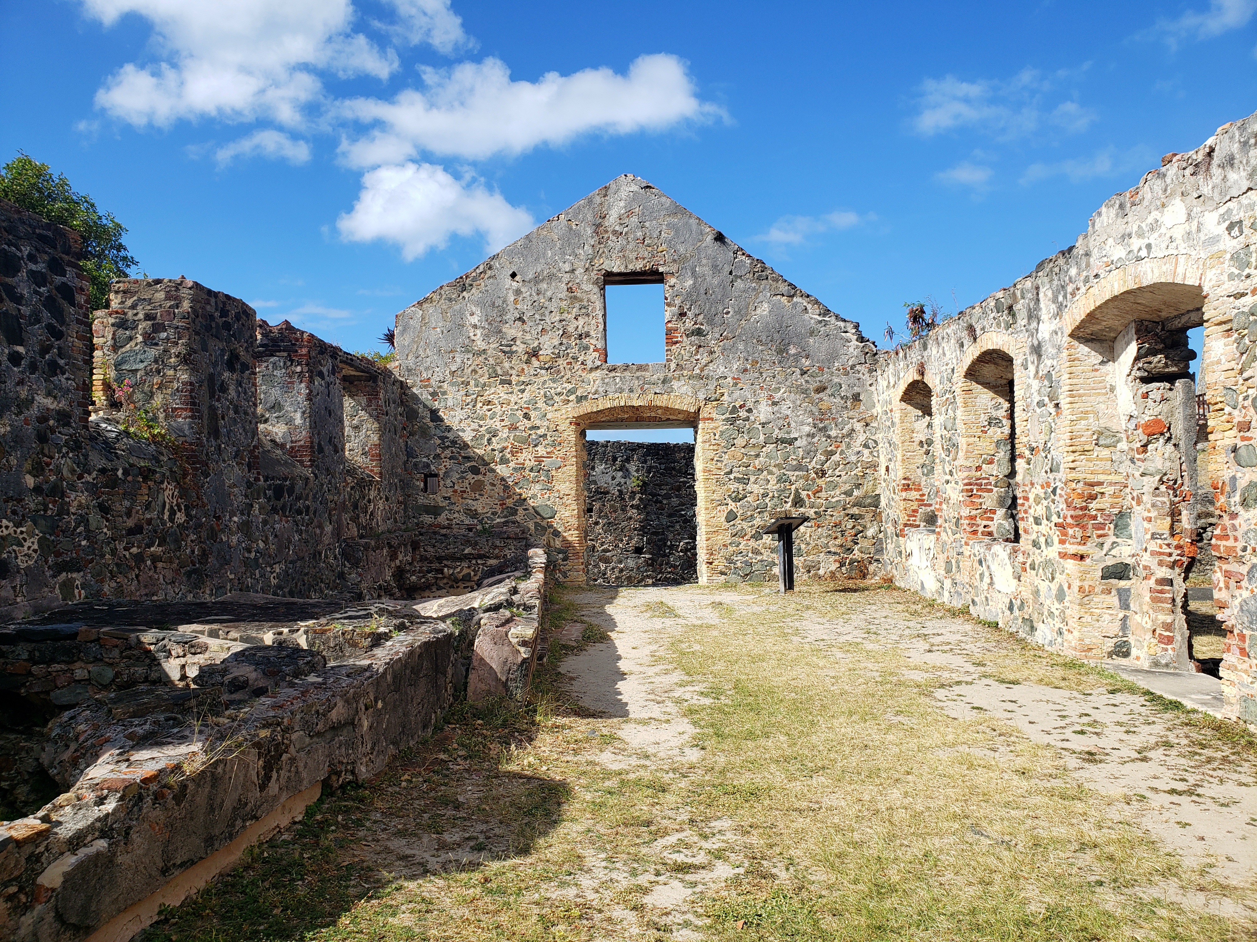
After several hours at Maho Bay, we ventured further down the road. There is quite a bit of sugar plantation history, and accompanying ruins sprinkled across the entire island. Some of them require a hefty trek through the jungle to get to, but one that is easily accessible from that northern road is called Annaberg. Approaching the ruins of Annaberg one can find some easy very shallow water access to explore for shells and coral pieces. But then going up the hill and onto some overlooking cliffs you first see a well preserved windmill and the remains of slave housing structures in varying degrees of ruin. The more industrial part of the ruins are more intact as you make your way up the hill. There is an old bakery type building and the larger boiler building. This was where the slaves would process the sugar out of the cane. Incidentally, this spot is also a great vantage point of Tortola, one of the islands of the British Virgin islands, only maybe a mile or so away.

This shallow part of the ocean is called Mary Creek. Taken by the sidekick.
This is the same area. Taken by me.
This is the windmill at Annaberg. Taken by me.
Inside the boiler building ruins. Taken by me.

The sun tires a person out and there were a few more stops to make back in town. We stopped at St. John Brewers which is an awesome brewery with a full bar and a decent kitchen menu as well! I highly recommend a stop there! Afterward we headed to another cool spot, The Windmill Bar. This is probably the best spot to catch a sunset. The bar itself is actually within the park and does contain an old windmill ruin! Just down the hill from the Windmill is a place called Shambles Island Bar and Grill. They have some GREAT food.

Sunset from the Windmill Bar. Taken by me.

The next day we headed back to St. Thomas. A quick taxi ride and we were at Magens Bay. This is a very popular tourist draw and for good reason! The bay cuts into the mountains on the northern shore here. The beach is awesome and the water, of course, beautiful. There are lots of amenities here as well: a food bar, a liquor bar, rental chairs/umbrellas/towels, gift shop and a kayak rental vendor. I did a little self kayak tour of the bay and saw several sea turtles! They do not like being seen and are very fast! I did manage to (barely) snag one on my camera.

Kayaking in beautiful Magens Bay! Taken by me.
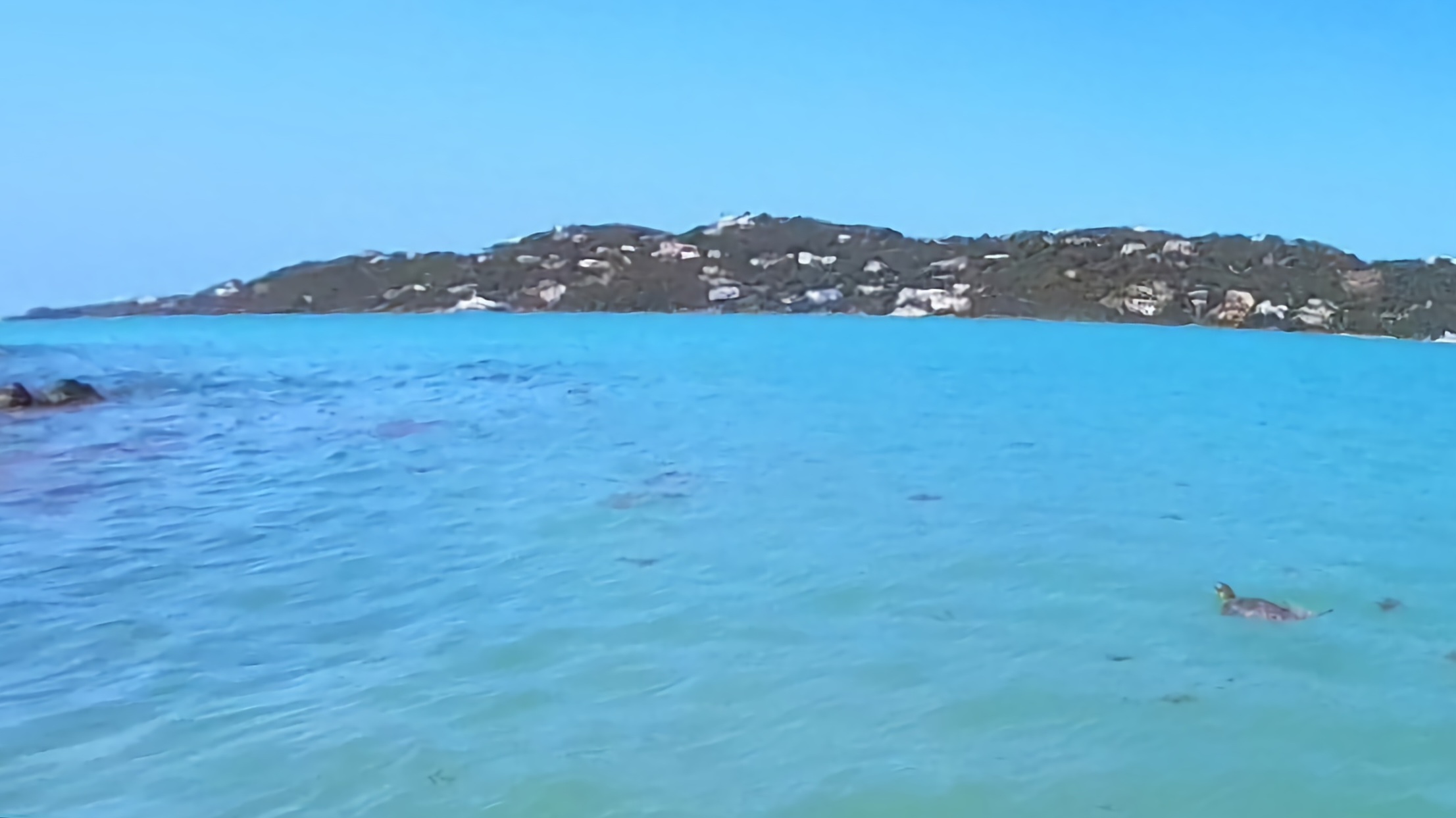
LOOK AT LEONARDO! Little buggers are SUPER hard to find. They look just like drifting seaweed and as soon as they know you see them they dive! I just barely caught this guy! This is in Magens Bay

The bulk of the trip was in the VI but we did bookend the trip with an evening in San Juan. On that last night we went down to Old San Juan and had yet another delicious dinner at a place called St. Germaine Bistro and Cafe. Afterward we took a walk down to San Juan National Historic Site and the fort there, Castillo San Felipe del Morro. At this late time of the night the inside was closed, but they have the outside lit up beautifully and we walked around the grounds a bit before heading out. And that concludes another National Park trip!

Taken by the sidekick.
The Fort is obviously not open at night, but the National Park Service has done a light illumination job for the evening strollers! Taken by me.

Overall Impressions:  Despite the relative shortness of this blog, this is an amazing place and on the list of places to I would make a return visit to. Absolutely beautiful! The only downside to this place is the quickness of which your money separates itself from your wallet!

The Adventurer’s Rating: 5 Stars!

Off again!

Hey there adventurers! The sidekick and I are off again – this time to the Virgin Islands! We are spending two days in St. John, one day in St. Thomas, and an evening in San Juan, P.R. The weather looks great! I managed to snag a vehicle at the very last minute, just this morning and it looks like a cool trip is ahead of us! I/we had to make some adjustments to plans for the rest of the year and you can check the out new schedule in the “where to next” section! I’ll try to have the post for this trip a little quicker than my last one! :). Do cool shit, everyone!
Pinnacles National Park and Bay Area, CA. Feb 2023

National Park Count: 32
NPS Unit Count: 55

Hey there fellow Adventurers! It has been 9 months since I have logged a new National Park! I was able to pull another “Ben Special” National Park visit in February. I am calling the short “go go go” trip in a ridiculously short amount of time, with very little sleep, a “Ben Special!” This time I found myself exploring remote central California: Pinnacles National Park.

First, the Pinnacles facts! This park was named a National Park in 2013, so it is relatively new. However, it was a National Monument for 100 years prior. It is also pretty small and has a fairly low number of annual visitors. Pre-pandemic the yearly visitor count was under 200,000! As such, the park has fairly limited facilities. This is NOT a free park and at a 30 dollar entrance fee (for a week, at least!), this is one of the more expensive parks! It is also very remote, so plan accordingly for lodging, if staying overnight. The park is named after the part of the rock formations left over from the erosion of a long extinct volcano that used to be much further south than it is now. The San Andreas Fault runs through here and has drug this part of that extinct volcano hundreds of miles along with it. This park is also a huge draw for rock climbers, more so than anything else it seems! The park “drive,” if you will, is very short and also does not go through the park: This is a hiking park! There is a second side that also offers some must sees. It is an hour and a half drive around the south end of the area and back up. Alternatively, one can hike to the other side as well. One other awesome thing about this park is that it was part of the condor reintroduction plan many years back. There are something like 500 California condors now, and 300 of them live here, part time!

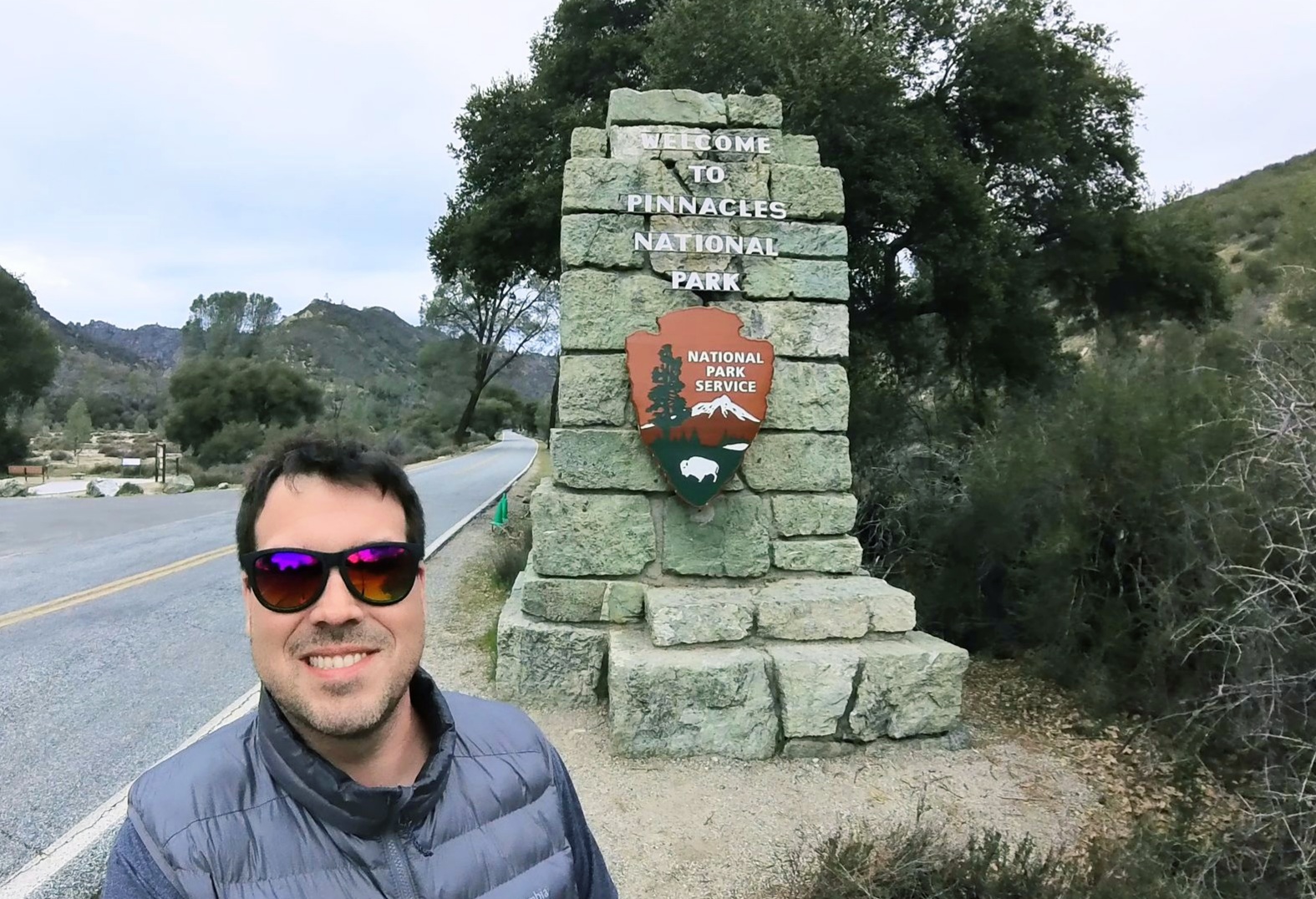
Sign selfie! East side entrance.
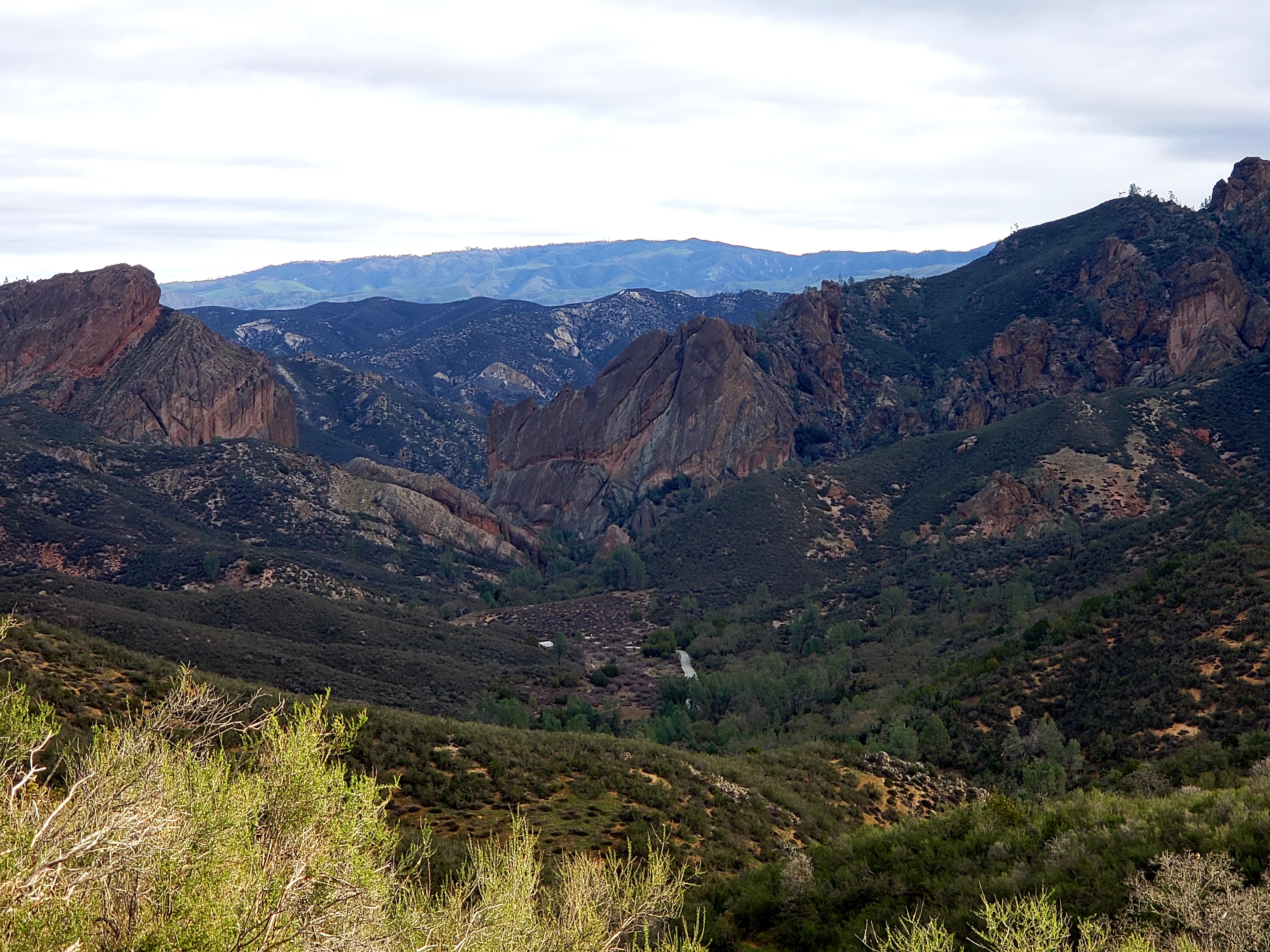
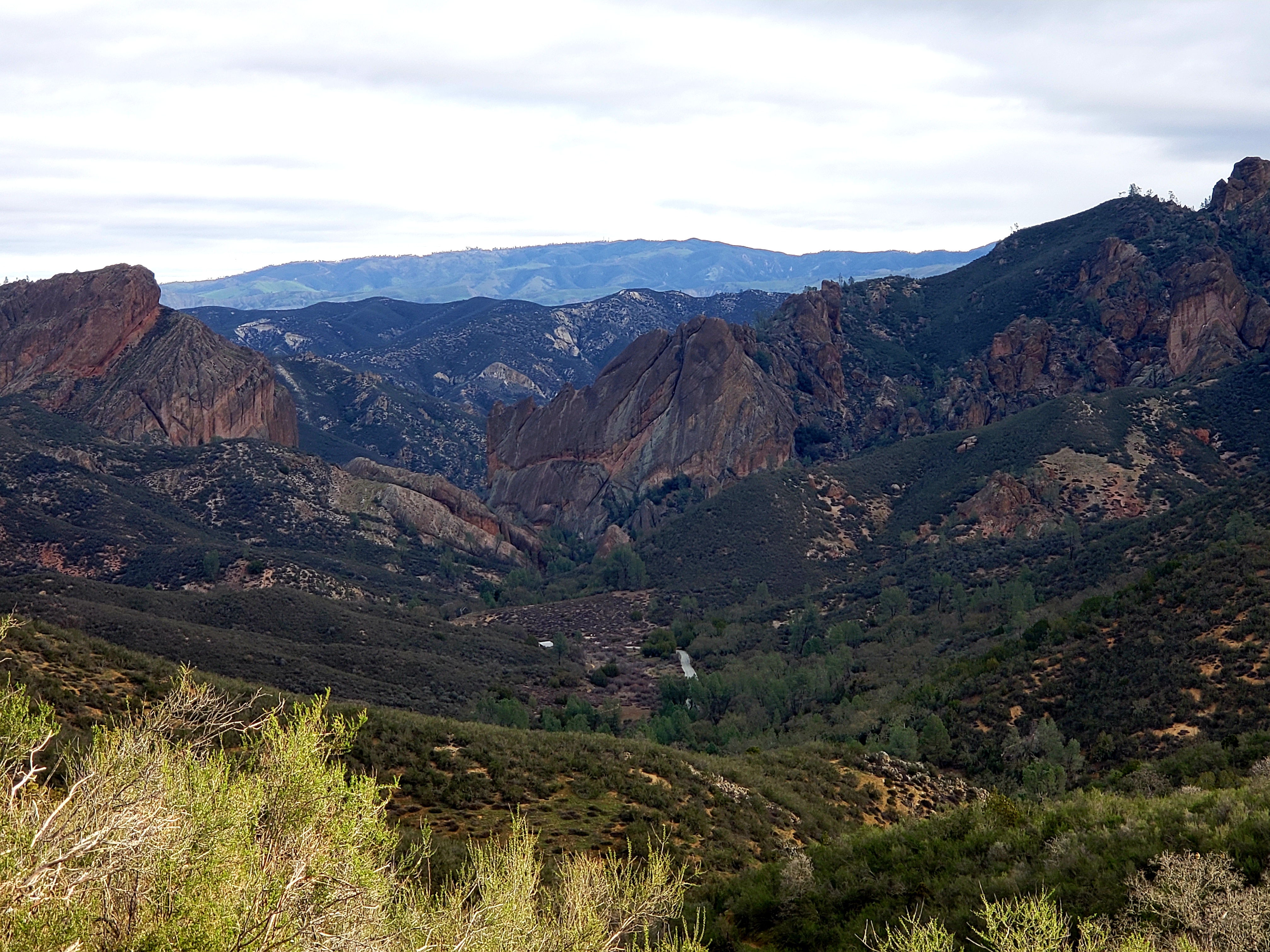
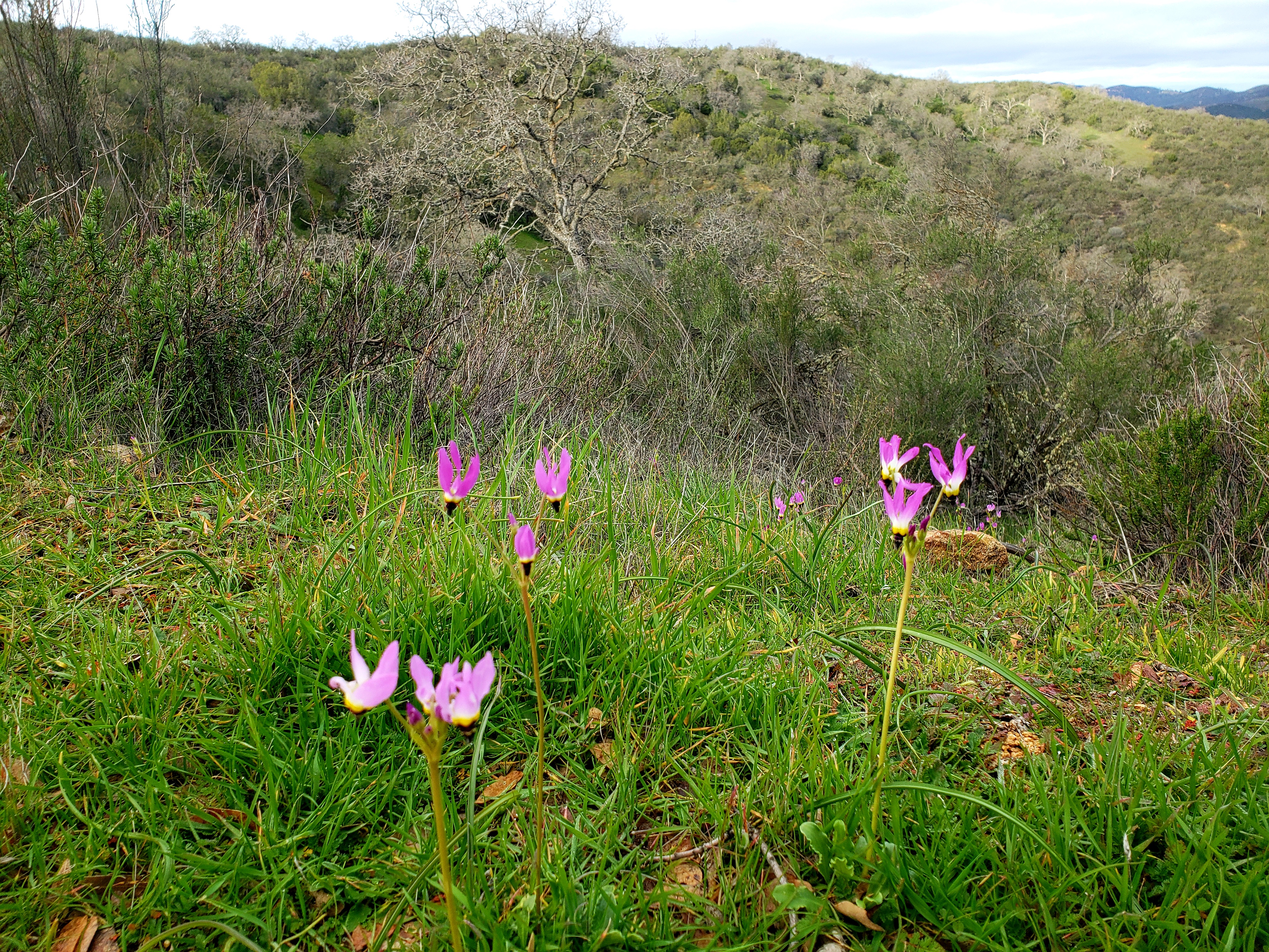
A view of the park from a trail on the west side of the park, taken by me! Cool fact: there are THREE fault lines in this picture, including the San Andreas. One fault runs right through the low middle part, another can be seen, barely, cutting that small lighter colored cliff behind the big rock in the center. The San Andreas is actually that ridge at the top. Or, so the placard near this spot said!

I spent a full day on the more popular east side of the park. This side provides the more convenient access to the campground and store, plus the easiest access to three of the more notable features of the park. The day began with stopping at the visitor center to get some good info. This is always a good first stop! I got my stamp and visited the camp store and then off to my first (and only) hike of the day! The trail system in Pinnacles is very easy to follow and if you are on a trail somewhere, you can literally get to any other trail in the system. I started my hike from the parking lot at the East Side Visitor Center. This visitor center was closed, I presume due to some of the bad storms that rolled through central California a month or so earlier, and flooded this area.

The trail I took made a nice long loop hitting some of the big highlights on this side of the park. All Trails refers to the entire hike as The Condor Gulch Trail to High Peaks Trail Loop and rates it hard at 5.5 miles with 1630 feet of elevation gain. The start of this hike is the Condor Gulch trail which then meets up with High Peaks Trail. This section of trail is pretty mundane, but scenic, and pretty empty. The noteworthy part of this hike was watching the condors flying overhead!

Start of the hike with a couple condors hanging around. Honestly I am surprised I got them this clear in the picture without a proper zoom! It’s not the easiest to tell, but you can tell they are condors by the white under their wings and also how they carry the wingtips kinda splayed out (neither of which is easily visible here!)
Just another part of the park along the hike. This rock is leftover volcano stuff! Taken by me.
When I saw this area of the park I figured there was something interesting here. The second picture in this post points out a fault in the middle of the picture. This is actually that exact spot seen much closer on the first day hike! Taken by me.

One and three quarter miles, and 1500 feet of elevation gain later, I ran into the High Peaks trail. Here begins the long part of the trail that leads to the big sights! The next mile or so took me through the “Pinnacles” part of the park, the leftovers of the old lava fields produced millions of years ago. This part of the trail is some up and down, so there is only about 200 feet of total elevation gain…but part of this section is pretty intense! This is where you find the “Steep and Narrow” section of the trail, and the name is well deserved! This section is basically climbing straight up and down. The park has chiseled out footholds up the cliffs and installed a metal rail to grab ahold of. Once you clear one section of this, there is a section where a 6 foot person has to stoop way over to fit under an overhanging cliff, and then there is more! In only 500 or so feet you ascend nearly 200 feet! Once you get to the highest spot, then you have to reverse this going down with the same process of footholds and rails.

Here is the start/end of the Steep and Narrow section of the High Peaks trail. You can see the footholds carved in to help out! Taken by me.
The next spot in the trail. It doesn’t really look it, but I had to hunch over to get through this.

The next junction was 1.7 miles later at a downward descent the whole way. From here the next trail, called the Rim Trail, heads toward the Bear Gulch Reservoir. This section is about half a mile. The reservoir is the only body of water seen during the hike, and was a welcome change of scenery. At this point though there are options. One is to go back to the previous junction and continue to the end. The other is to take a rock staircase down the to the bottom of the dry side of the reservoir dam. This section leads into the Bear Gulch Cave. The caves here are talus caves. That is, they were formed by boulders falling into cracks and leaving passageways beneath. The caves are home to bats and are sometimes closed for their protection. The caves are also sometime closed due to flooding. I was able to enter this cave, climb through using a flashlight, and come out on the Moses Spring Trail which then reconnects to the High Peaks trail at a different spot. This then connects to a nice pedestrian trail that leads back to the parking lot. All Trails says this hike is 5.5 miles, however, my app clocked it at 6.5 miles and 3.5 hours of hiking time. I am not entirely sure if either of those are accurate, but there it is!

Bear Gulch Reservoir, near the end/beginning of this big loop trail. It’s not terribly large, but pooled water in the park is hard to come by! Taken by me.

The drawback to this park is definitely its size. After my hike it was only about 4 or 4.30 and I was not interesting in any more hiking since I had already done the “big one.” The park road here is just a short drive, and there is nothing, and I do mean, NOTHING, anywhere close to this side of the park. The nearest place to get food/drink/gas was about an hour away and I was in no mood for a 2 hour round trip, so I just saddled up to my campsite and got myself prepared for the night. A cool campground find though: apparently the resident turkey vulture population likes to roost in the trees in the campground!

The resident turkey vultures roosting for the night in the trees of the campground. Taken by me.

The next morning I headed out nice and early to the west side of the park. This was an hour and a half drive around the bottom of the park and back up to the other side. This area is still a pretty remote part of California, but at least there were some signs of civilization! It should be noted that while the east side of the park has 24 hour access, the west side has a gate that doesn’t open until 7:30 AM and closes at 8 PM. I arrived just about at opening time.

Sign selfie 2! This is the west entrance.

The first hike I did was the hike behind the visitor center, the Prewett Point Trail, an easy, paved, 1 mile hike that travels through an area that used to be a pioneer homestead in the late 1800s. There is not much there now, but some really good views of the Pinnacles. As an aside, this trail connects with another trail called Jawbone, which itself connects to the trails in the middle of the park that joins the two sides together. This trail is a very polite and accessible for anyone type of trail. Also, though I didn’t mention this before, this park is a big wildflower park, but I was there a little too early for that. However, this trail did afford some very small wildflower glimpses along with some different plants not found in the east side.

The view from the Prewett Point Trail. Taken by me.
These plants were not seen in the east side of the park. Taken by me.
A field of these would look awesome! Taken by me.
Another pretty plant found on the west side of the park. Taken by me.

The main draw here in this section is a trail for arguably the most well-known feature in Pinnacles, the Balconies Trail, which includes the Balconies Cave. This is a moderate rated trail, about two and a half miles and does feature a lot of up and down. The trail is about half a mile until it meets a loop. At this point one can go directly to the Balconies talus cave, which is only a few minutes away, and then come out and do the long stretch of the loop back, or one can do it opposite. The rangers I spoke with strongly suggested the opposite route with the cave toward the end. There are a couple good reasons for this! Number 1: This cave is pitch black, involves climbing in the dark, and is generally a lot trickier than the Bear Gulch Cave, it was also partially filled with VERY COLD water, and doing it at the end means only a half mile cold and wet hike back to the parking lot. Number 2: as I told myself, doing it at the end forced me to not back out! The hike is generally pleasant with some nice views of this large rock formation that is the namesake of the trail, and also another rock formation called Machete Ridge. Machete Ridge is where the cave formed, while the Balconies offer condor watching and also rock climbing opportunities. Upon coming around the back side of the trail I approached the cave. The dark gaping hole in the rock did not look especially inviting! I had a flashlight on my hat, and I had put on sandals since I didn’t want my hiking boots to soak. I ran into a guy exiting the cave but he was actually turned around due to not having a proper light. Good start. The water was FRIGID on my bare feet, and yes, it was pitch black inside! It also was not a simple flat walk through the cave either. There is some wiggling through rocks and a lot of climbing up rock ledges to get out. And then, once exiting back out to the light, you find out that the reprieve from the darkness is short lived as there is another section of cave. Generally, other than right at the entrance, I was able to avoid most of the cold water. But, once leaving this second section though, walking through 2 feet of water was unavoidable and my feet quickly were half frozen! But, soon enough I was out to dry a bit, warm up, and have a snack! Just a bit later I was back at the car and headed out of the park. This trail was not hard at all, and actually quite pleasant. The cave on the other hand, although only like a tenth of a mile….well, that thing is almost a tap out, and I might have done that had I not went the long way around, and I am glad I forced myself to do it!

Two condors fly over the Balconies, the rock formation giving the name to this trail/area. It is actually much larger than pictured but I cropped for the birds!
The entrance/exit from the Balconies Trail. Taken by me.
Inside the Balconies Cave. It was quite dark and flashlights are necessary. Claustrophobic folks beware! Taken by me.
This is the entrance/exit of one of the two bigger parts of this cave. You can see the iron rungs required to get out or into the cave. Taken by me.

After departing Pinnacles I had my eyes set on a nice glass of wine! There is a winery just on the doorstep of the National Park’s western entrance: Chalone Vineyard. I highly recommend – the wine was great, and the views are pretty awesome too! And, when I said it was on the doorstep of the Park’s entrance, that is literally true – just about a mile away! From there it was on to Monterrey. I had spied a spot on the coast I wanted to check out. Unfortunately, the weather turned rotten, so the situation wasn’t ideal. Soon after, I began the trip back to San Francisco.

This is off the coast of Monterrey. Really pretty spot, despite the dreary weather! Taken by me.

I only had a couple hours the following morning, but I still had some adventuring to do! I quite literally stumbled on Ft. Funston, on the western coast of the Bay Area. This is a part of the Golden Gate National Recreation Area! So, another NPS unit checked off! There is no visitor center here, and really it’s just some sandy hiking along the cliffs dropping off to the ocean. It’s a VERY dog friendly and popular. at least when I was there!

Entrance sign for Ft. Dunston. Taken by me.
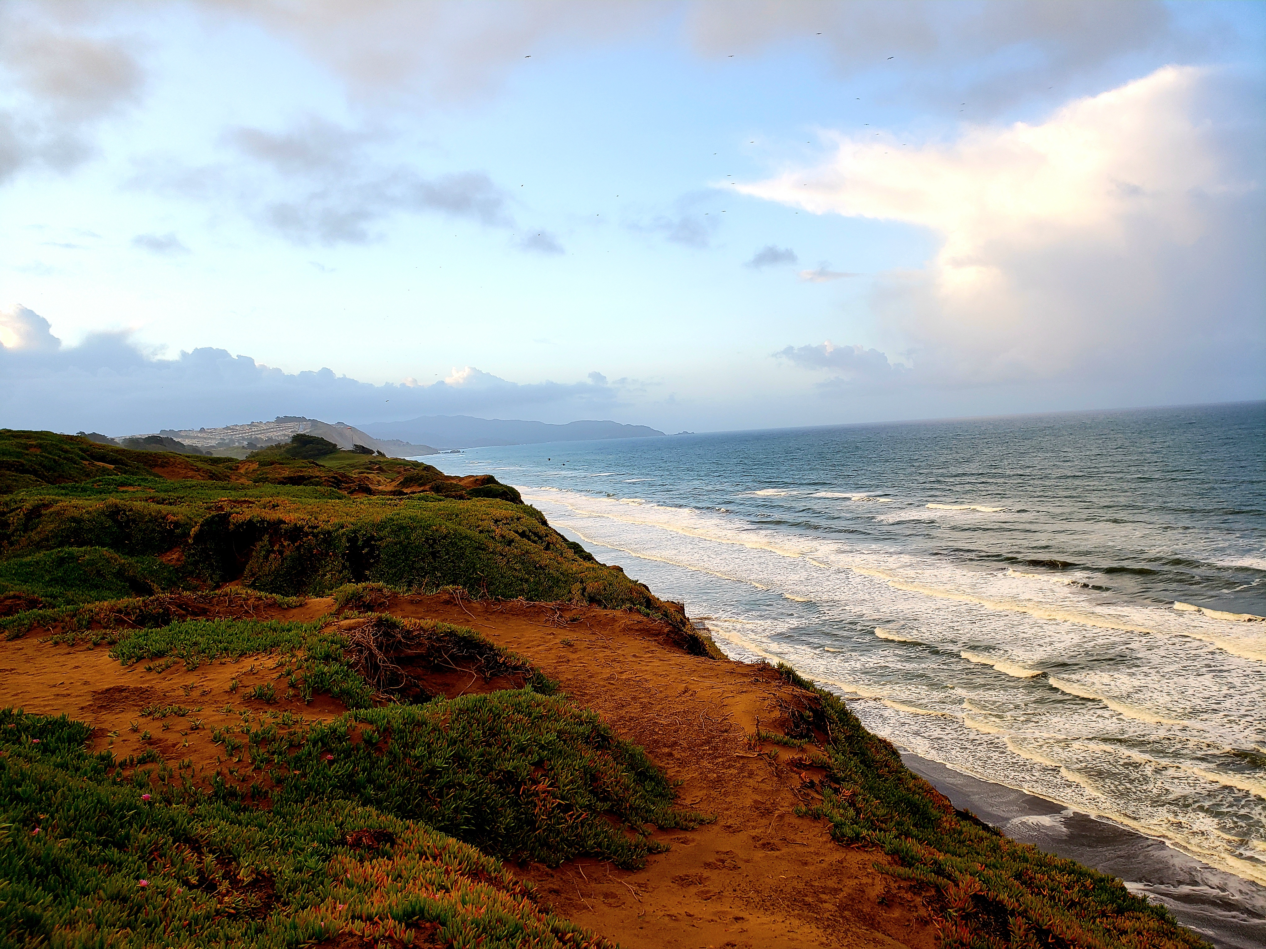
The view down the coast from the Ft. Funston site. Taken by me.
This is a part of a trail going through the Ft. Funston area.

After strolling a bit through the Ft. Funston area, I started making my way back to the airport, but with a stop at San Bruno Mountain State Park. This is a really nifty little urban park! There are several miles of trails up this mountain. I did not have much time, but I did get in about a mile or so on the Eucalyptus Loop Trail which gives some awesome views of downtown San Francisco! There was very little fog so I had pretty good views! Then, it was off to the airport and this trip was finished!
Unexpected treat! If you have a much better camera situation, this is a stellar spot to see the city from, in the San Bruno Mountain State Park! Taken by me on my lowly decrepit Samsung Galaxy Note 9.

Overall Impressions: I think this is an awesome gem of a place for people living in Central California! It is much more remote than I expected which was good (few people) and not so good (nothing to do outside the main area of the park when finished with the daily adventuring). The hiking was great and the couple cool spots are really pretty unique and iconic! If you are into rock climbing, I am sure that’s great as well. Getting a chance to view condors in the wild is also a super plus! Unfortunately, if that’s not enough, or not what you are looking for, you might be disappointed. Even the park drive(s) are short, so if you are the “drive through park-goer” it will be underwhelming for the amount of time to get there and do both sides.

The Adventurer’s Rating: 4 Stars!

Ixtapa and Zihuatanejo, Mexico. January, 2023

¡Hola compañeros aventureros! ¡Bienvenidos a mi primer viaje de 2023! (Welcome to my first trip of 2023!) This was the sidekick’s trip, so I guess that makes me the sidekick on this one! The trip was a volleyball vacation trip organized by South of the Border Volleyball Vacations.

Ixtapa is small resort town very close to the larger town of Zihuatanejo, located on the Southwest Pacific coast of Mexico. Ixtapa and Cancun were the two first government planned tourist resorts that sprung up on Mexican beaches beginning in the late 1960s. To access Ixtapa one must catch a flight to the Zihuatanejo airport. From the US the options are limited and some are seasonal. It appeared during this trip that the options were Alaska Airlines out of L.A. and United out of Houston. The flight from Houston took about 2.5 hours and takes you over some very remote parts of the country. Upon arriving in Zihuatanejo, Ixtapa is about a 20 minute cab ride up the coast. The pin on the screenshot below shows the location of Ixtapa.

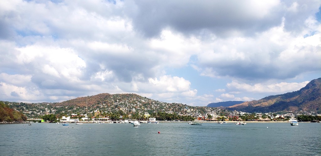
Zihuatanejo looks pretty much like the stereotypical Mexican town: poor quality roads, questionable infrastructure, and very shoddy looking buildings in various stages of “ongoing construction” (apparently this is a tax getaround?). As you approach Ixtapa the road goes up a hill and on the downslope you can see the gorgeous area that houses Ixtapa open up in front. Ixtapa itself is the jewel of the area, and yet, is still very dated. Compared to Zihuatanejo, it seems first world. However, as we found out later on, Ixtapa is somewhat of a failed U.S. tourist town. Earlier, I mentioned that Ixtapa, along with Cancun, was the first of many government planned beach resort towns in Mexico. These were planned with American tourism and American dollars in mind. Ixtapa is pretty far off the beaten path. The flights there are very few and only a few carriers offer year round service, with a few more offering seasonal service. Add to the fact that it is very easy to get to other resort towns (Cancun and Cozumel for example) and Ixtapa has transformed into more of a Mexican national’s vacation spot. What was planned to bring in hundreds of dollars per day now cannot because the Mexican tourists simply cannot afford that. Also, while there were certainly plenty of employees who speak English pretty well, I would say about half of the staff speaks very little English, so this was definitely a spot where you should brush up on your Spanish!

The resort we stayed in, Park Royal, is pretty bare. The room had a slow toilet that didn’t always work properly. There was neither fridge nor microwave. Outlets were sparse. The resort was all inclusive for food and drinks (yay!) but honestly, the food was mainly buffet style and not great. The resort is right on the beach and does have a dance bar, a big pool, including a swim-up bar, and the rooms have pretty killer views of the beach! That being said…the normal rate for this place is over $200 US per night…so it’s pretty pricey for lower quality amenities.

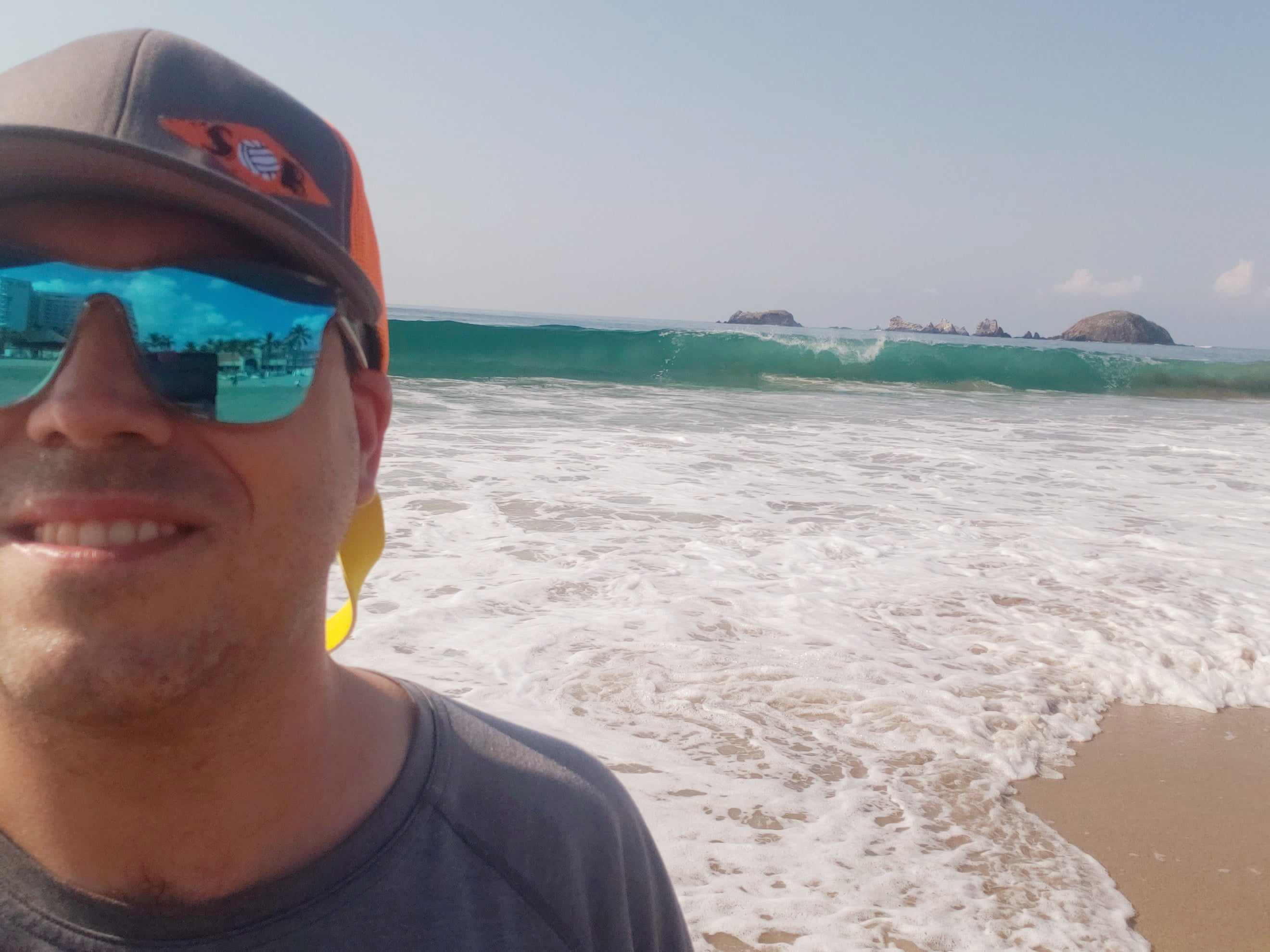
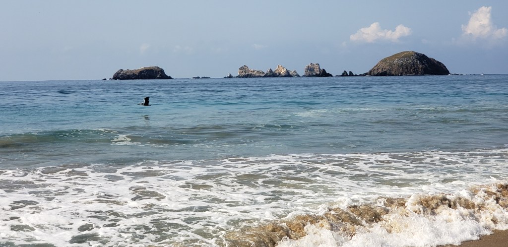
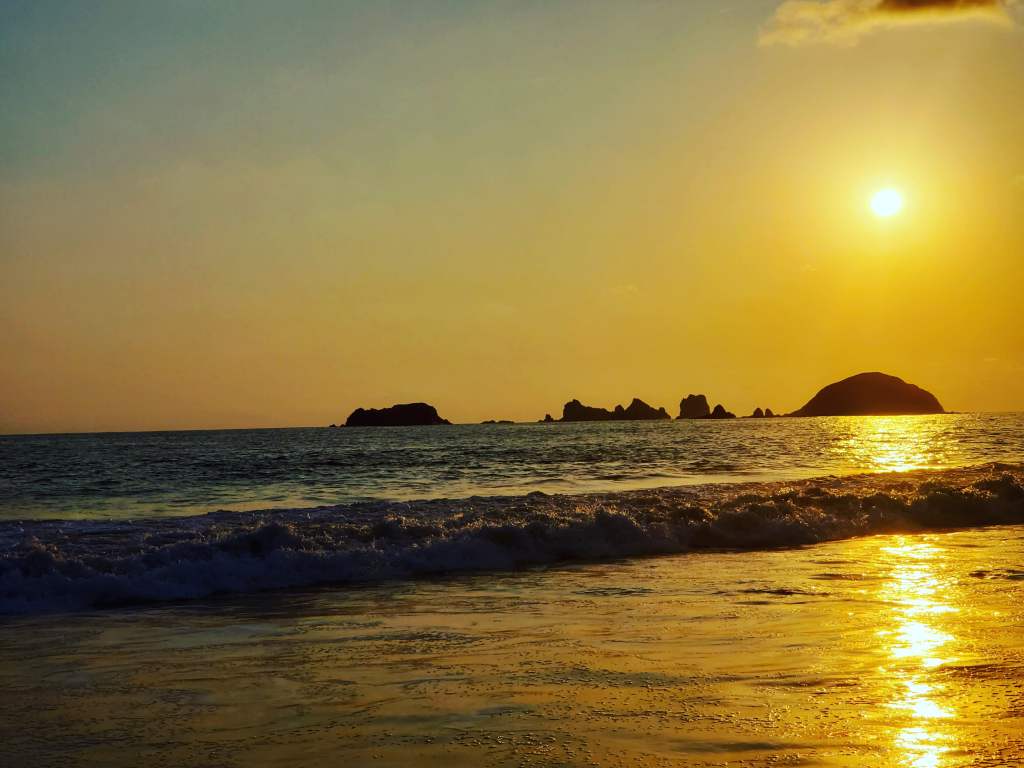
The environment here is pretty stunning. Huge blue waves crashes incessantly on the shore. They were large enough that it was the best decision to just walk into the wash up. The sand here is super clean with no trash to be found anywhere. In the near distance are these very distinctive rock islands. I would have loved the opportunity to explore those a bit but there was a noticeable lack of boating out on the water, other than some parasailing outfits, so I am not even sure if that is an offering.

We went into Zihuatanejo one day for a very fun boating excursion. A group of about 100 of us loaded up onto an all you could eat and drink catamaran to depart the bay in Zihuatanejo and head a few miles down the coast for some nice Pacific Ocean snorkeling. The water was super clear and a very comfortable temperature. We wrapped up at a local beach restaurant called La Perla with some very tasty Mexican food!

The reason for the trip was volleyball, and ball was awesome to watch and participate in! I did not do a lot of playing, although I did get in a clinic game with pro players Geena Urango and Kelly Reeves! Good times and good learning opportunity! Other pros there included Billy Allen (super nice and cool guy!), Ty Tramblie, and Andy Benesh, among others. It was pretty cool being able to interact, chat, and party with these amazing ball players!

It was a short trip for me, just a Saturday through Tuesday excursion, (the sidekick did a full week) but a super fun trip. I am not sure I would go back to Ixtapa again, other than for another one of these volleyball vacations, but it was super great experience for my first every trip to a place where English was not the language!

Overall Impressions: The Ixtapa beach is beautiful and well worth a visit! The accommodations are a bit dated despite being expensive. It is also bit pricey to get here and flights potentially require some schedule finagling. One knock is that there did not seem to be a large variety of activities. At least none that were easily accessible, or available. But if hanging on a really pretty beach and relaxing for several days is your thing, Ixtapa accomplishes that!

The Adventurer’s Rating: 4 Stars!

2022 Wrap Up Part 2!

Hey there Adventurers! Before I get into my favorite pictures from my travels this year, I need to make a slight addendum to my planned trips in part 1…somehow I missed a huge one! The sidekick and I are prepared to hit Patagonia! This will be a late year trip (summer in the Southern Hemisphere) and literally nothing has been planned yet, but stay tuned! Now here are my favorite pictures, in trip order, from 2023!

Maui, HI, Feb:

Ho’okipa Lookout.
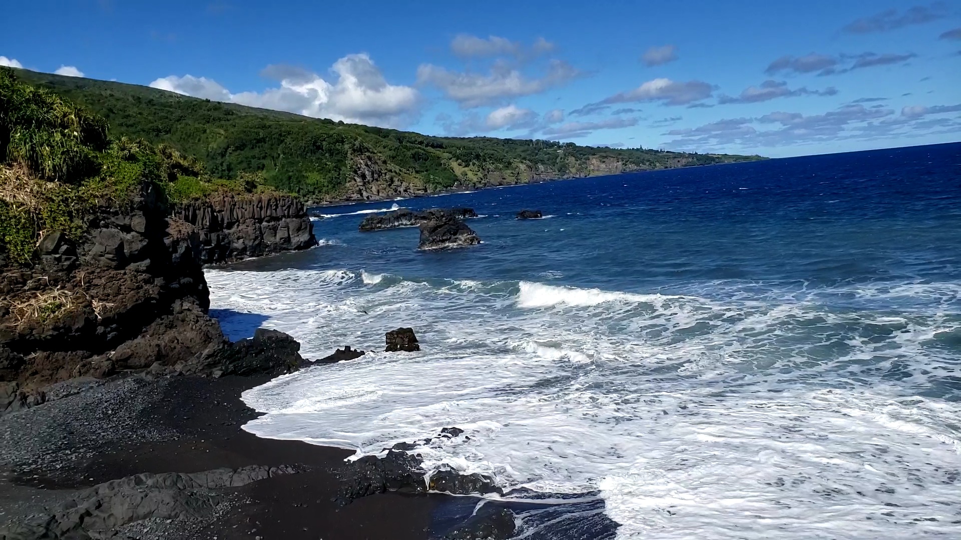
The shoreline near Ohe’o Gulch. This is in Haleakala National Park.
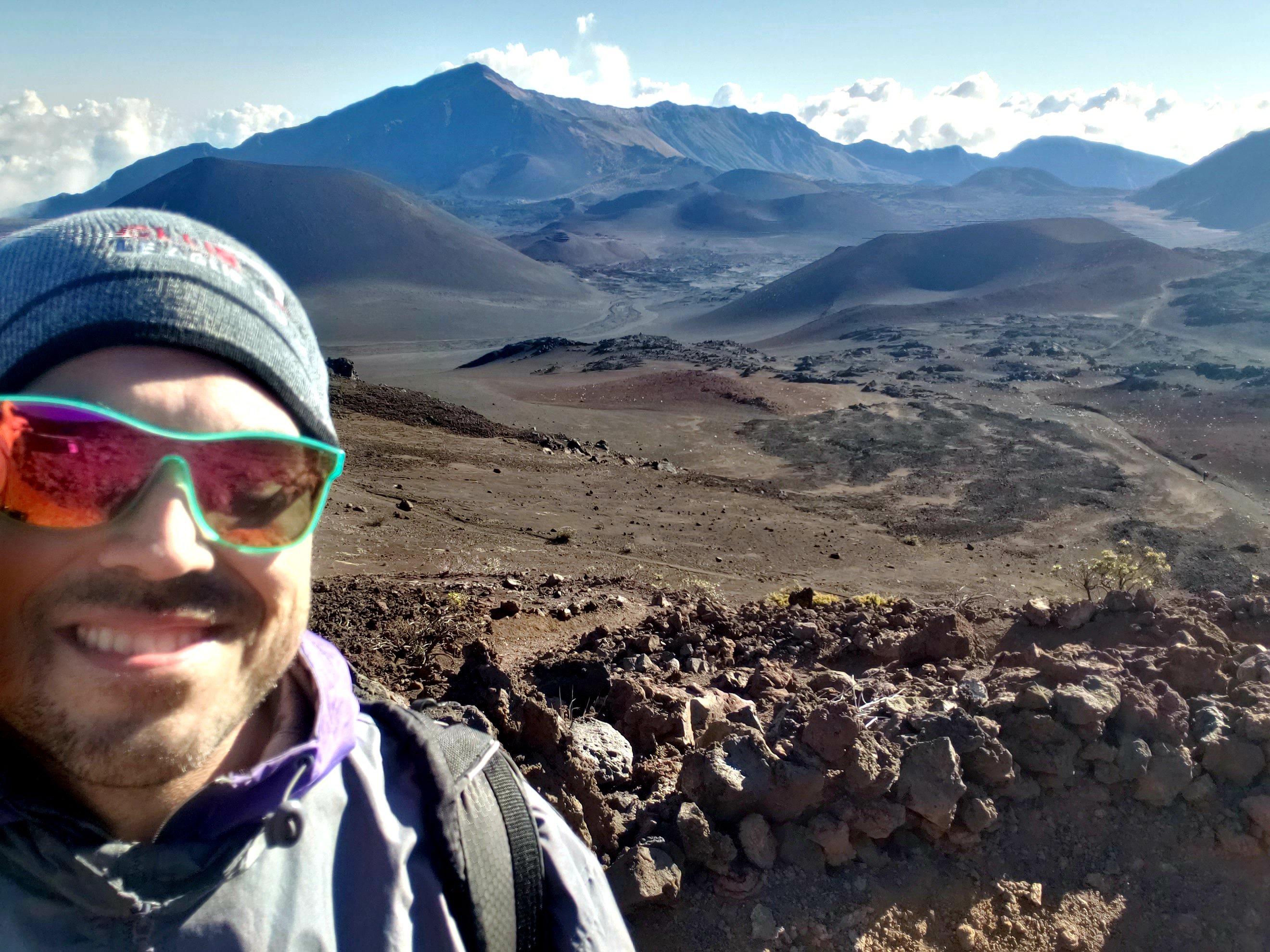
A little fuzzy, but I like it. Inside the crater of Haleakala Volcano.

Spring Break, March, Cedar Key, FL.

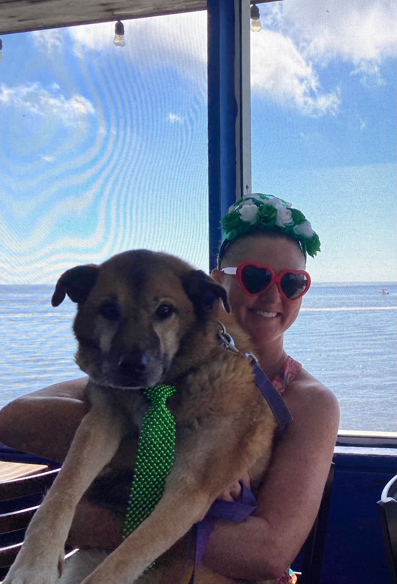
The Sidekick and I with our respective OG Bark Rangers.

Utah, April:

Arches National Park. I love the contrast of beautiful flowers and barren desolation.
Mesa Arch in Canyonlands National Park.

Alaska, June.

My favorite national park sign picture!
Tern Lake, off of the Seward Highway.
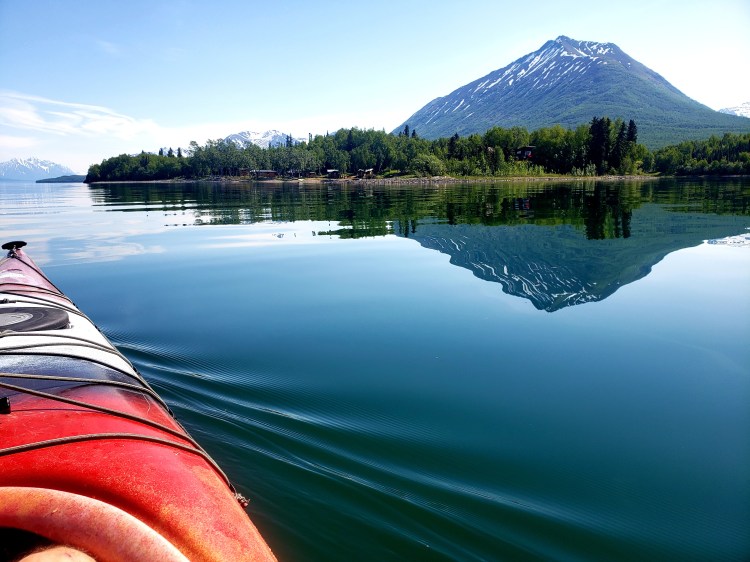
Kayaking Lake Clark National Park
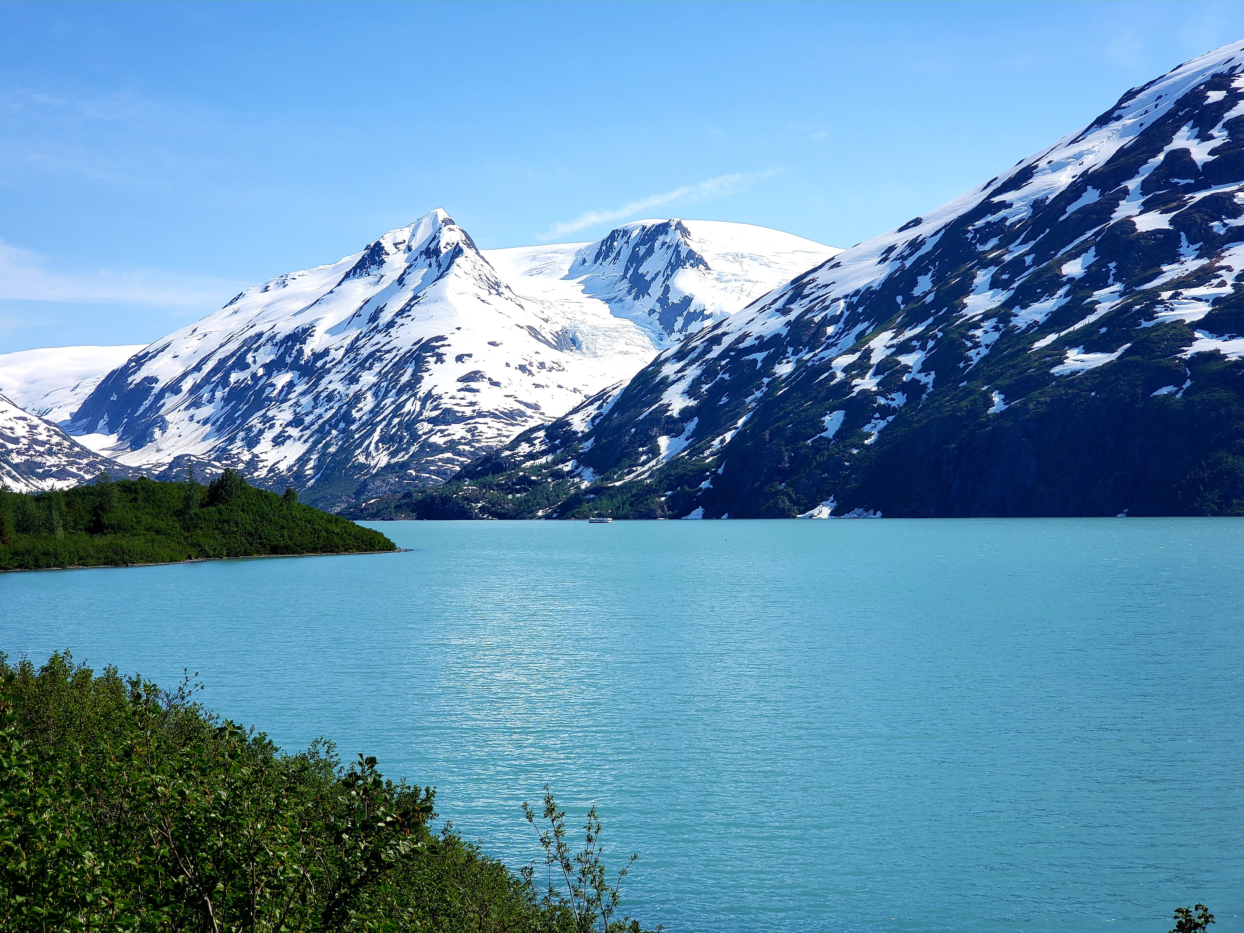
Portage Lake.

Summer Bark Ranger Roadtrip, June.

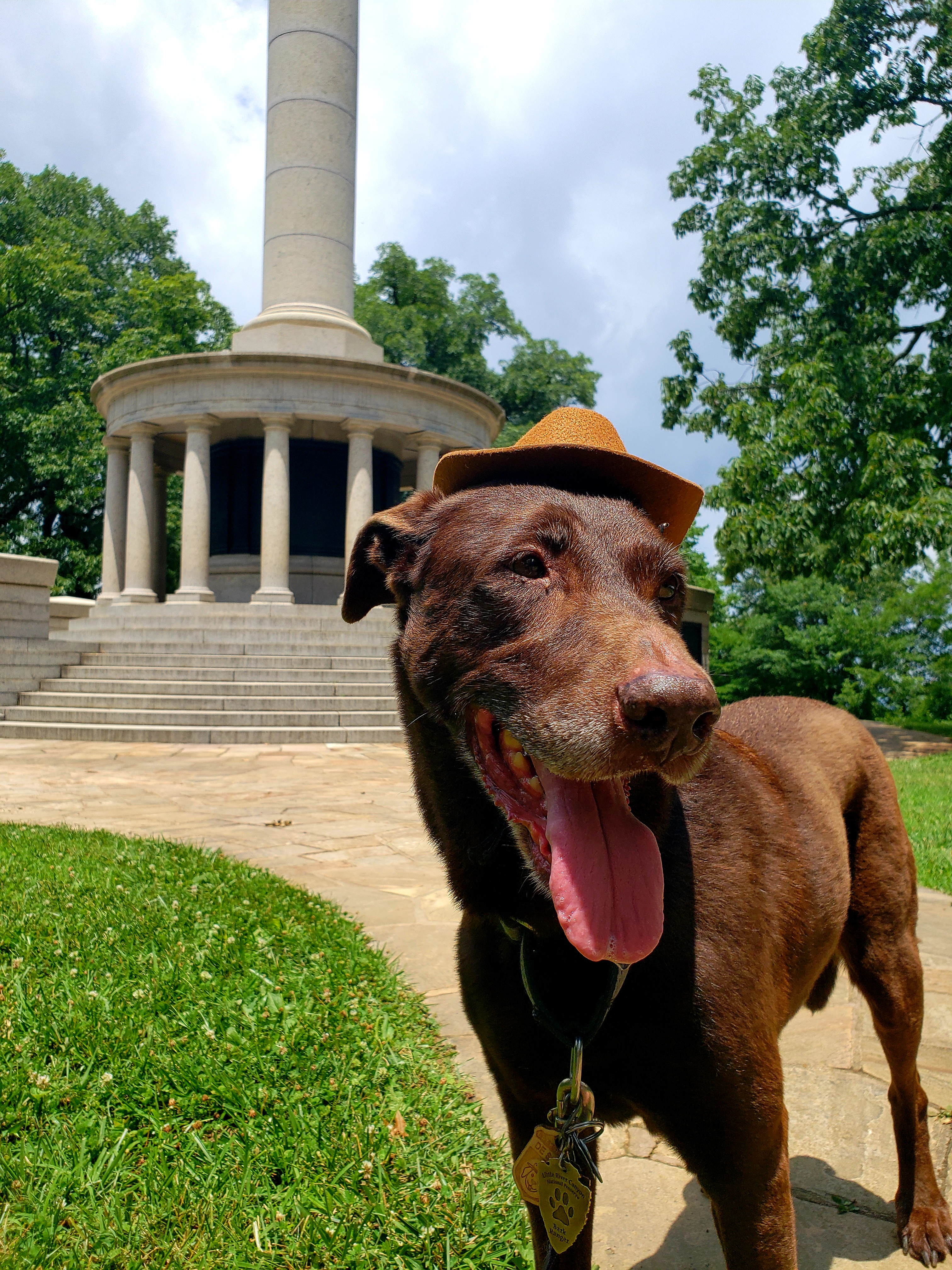
Bark Ranger Bella at Point Park, Chattanooga, TN.
Cloudland Canyon State Park, GA.

Alaska, Sept.

Chena Hot Springs, outside of Fairbanks.
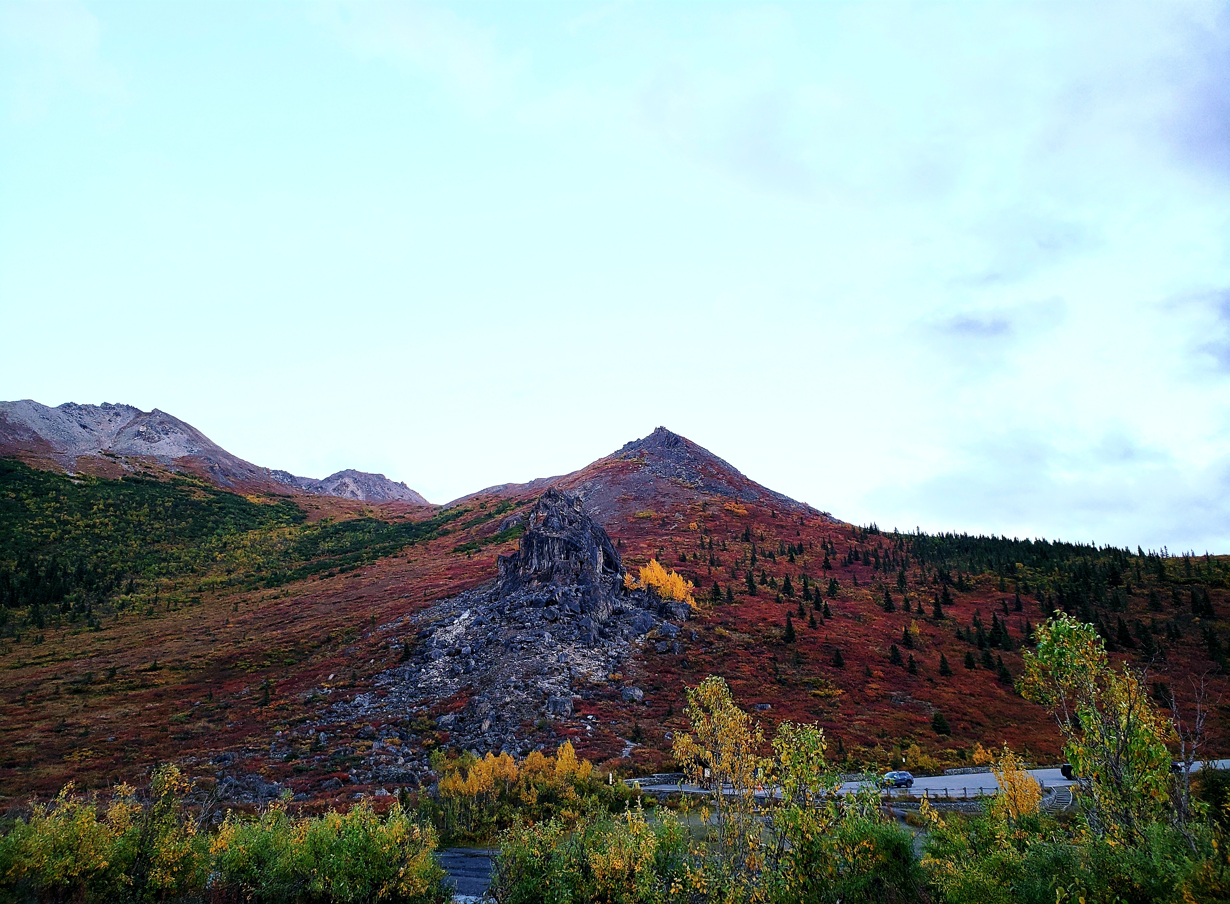
Savage Rock and the start/end of the Savage Alpine Trail, in Denali.
The so called Golden Valley of Denali.

And that is a wrap for 2022 adventures! See you all in 2023!